Uphill
45m
Length
12km
Duration
3h
Elev gain
45m
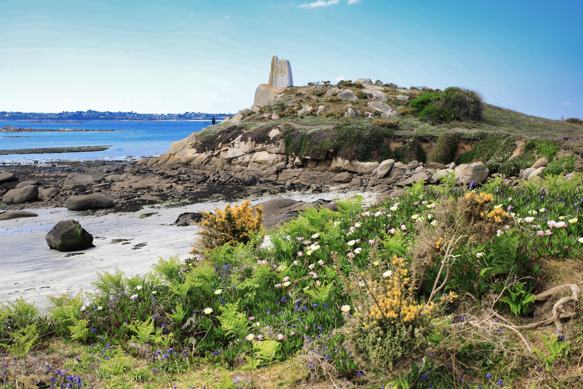
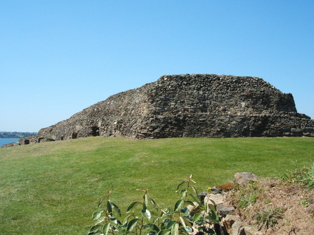
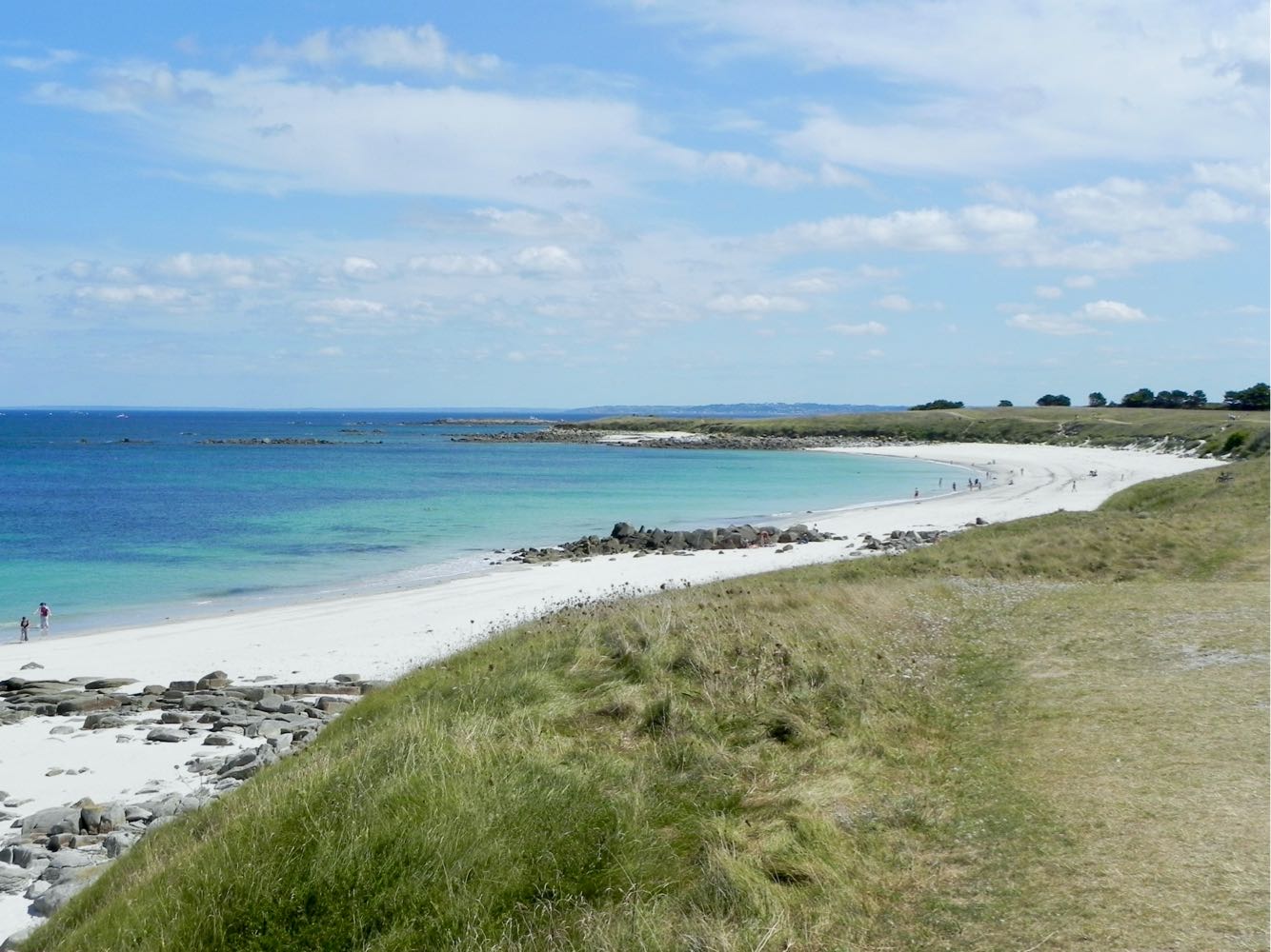
This is a hike around the island of Batz that presents varied landscapes: moors, cultivated fields, and white sand beaches. Note that about 3 kilometers are carried out in the village, along the sea.

Already more than 200,000 users!
Uphill
45m
Highest point
19m
Downhill
45m
Lowest point
0m
Route type
Loop
Download the map on your smartphone to save battery and rest assured to always keep access to the route, even without signal.
Includes IGN France and Swisstopo.
I indicate whether dogs are allowed or prohibited on this trail
All year
0 ratings
Also enjoy:

Already more than 200,000 users!