Uphill
21m
Length
1km
Duration
30min
Elev gain
21m
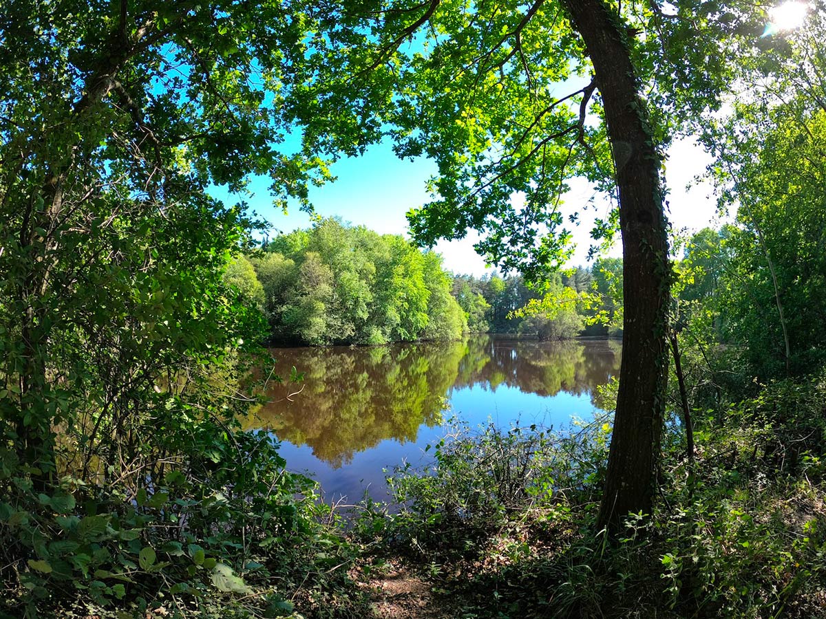
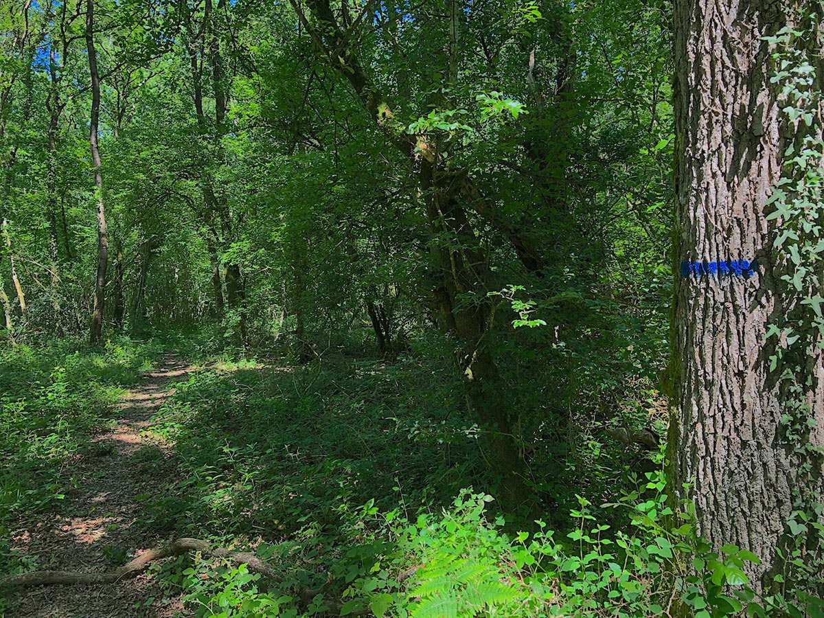
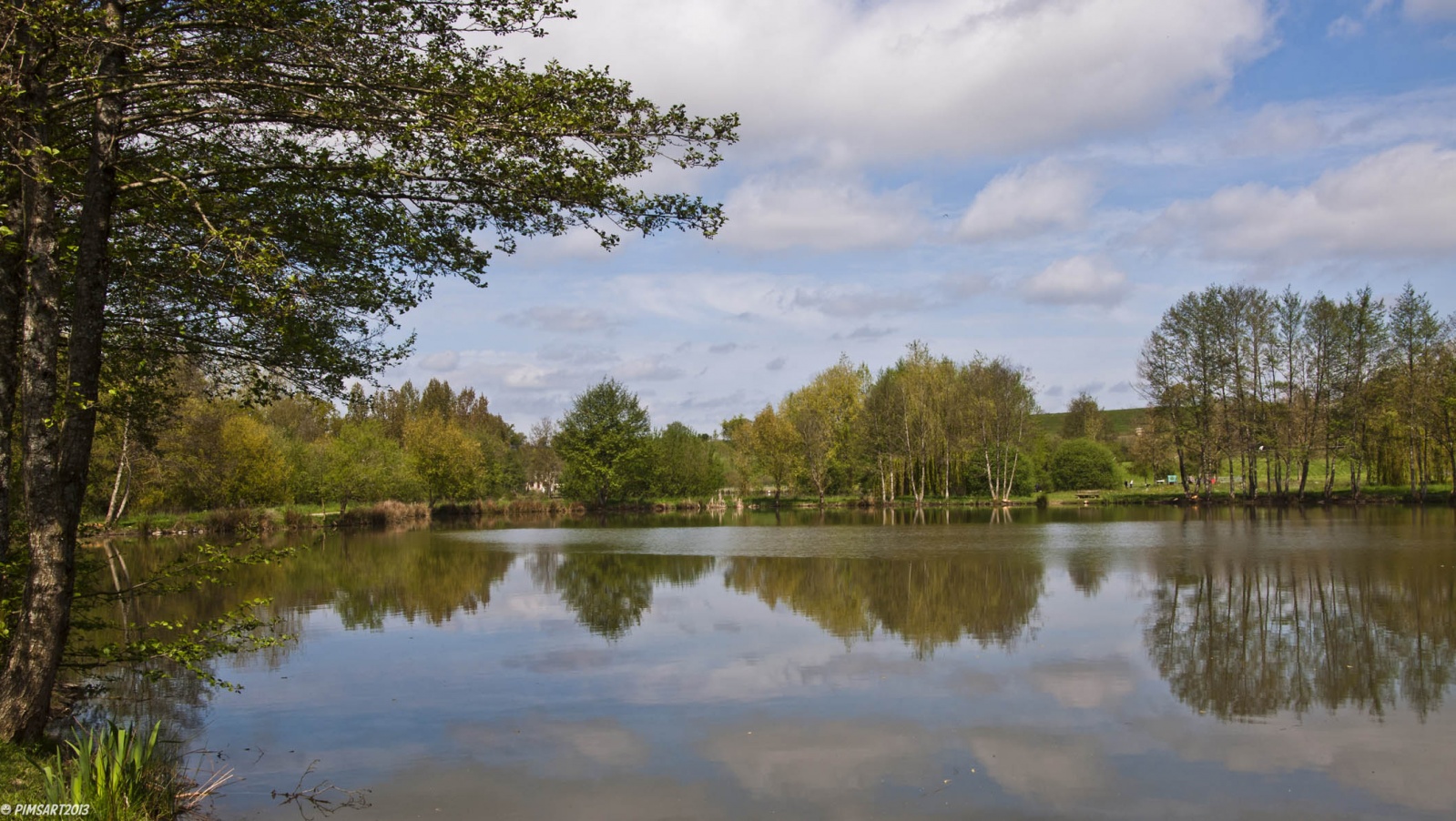
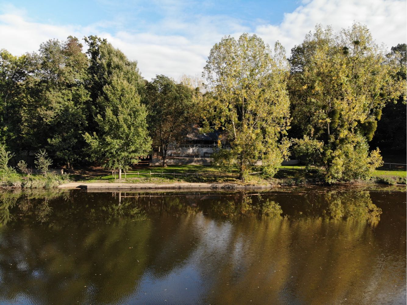
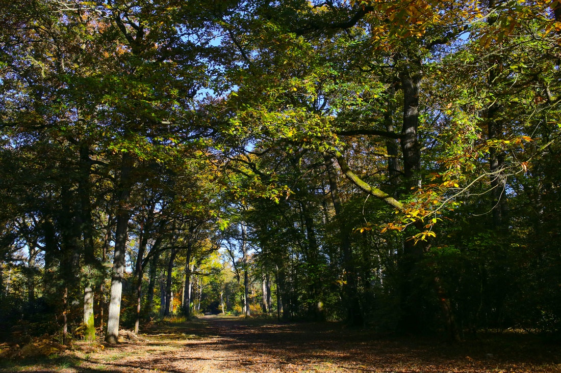
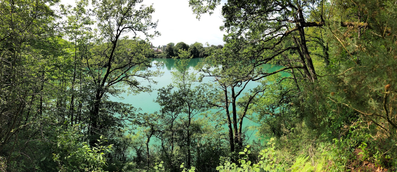
This site formerly intended for the production of agricultural and hydraulic lime is now a protected natural area. A path goes around a small lake, between fields and undergrowth.

Already more than 200,000 users!
Uphill
21m
Highest point
52m
Downhill
21m
Lowest point
26m
Route type
Loop
Download the map on your smartphone to save battery and rest assured to always keep access to the route, even without signal.
Includes IGN France and Swisstopo.
I indicate whether dogs are allowed or prohibited on this trail
All year
1 rating
Also enjoy:

Already more than 200,000 users!