Uphill
28m
Length
3km
Duration
1h
Elev gain
28m
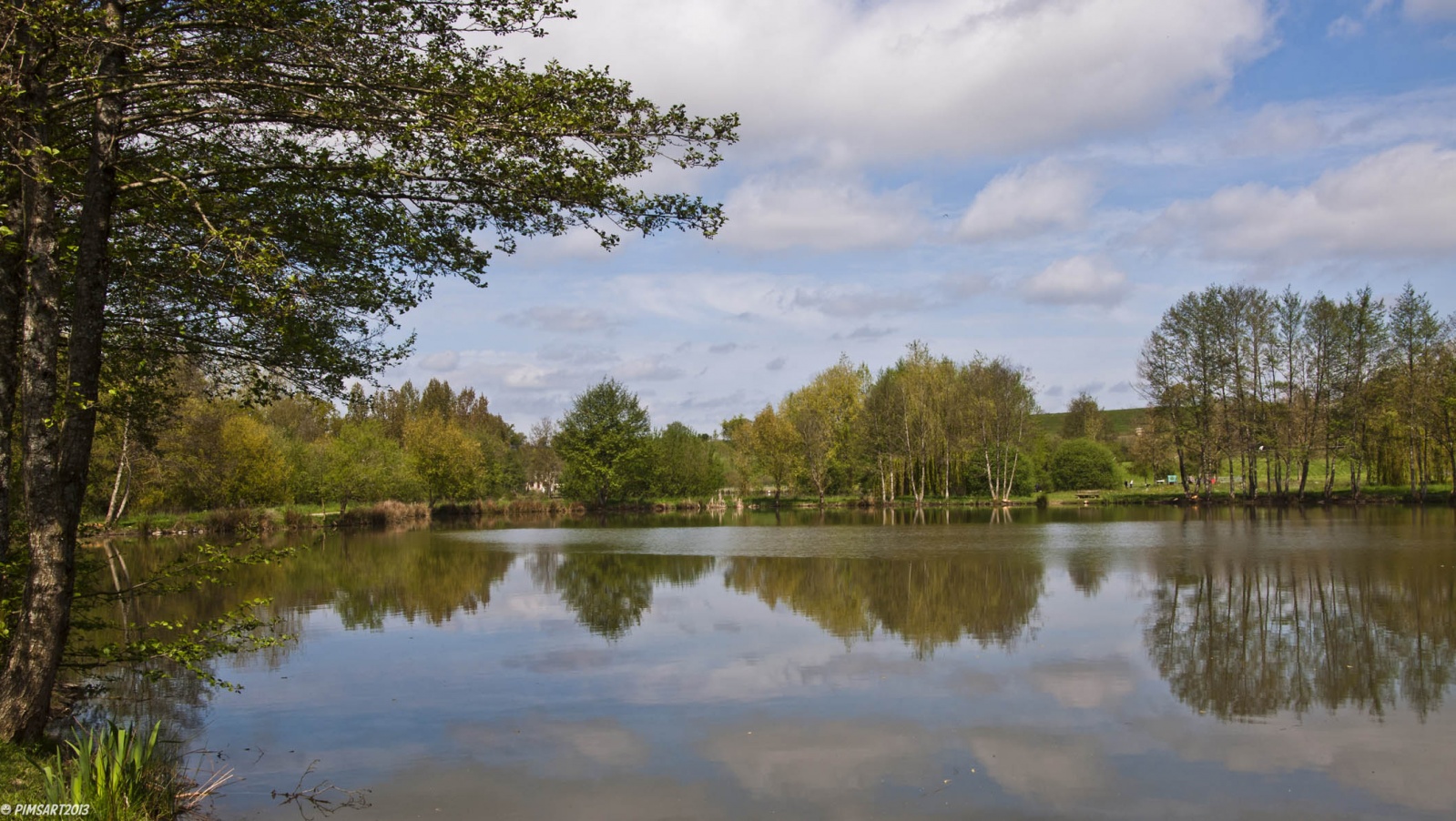
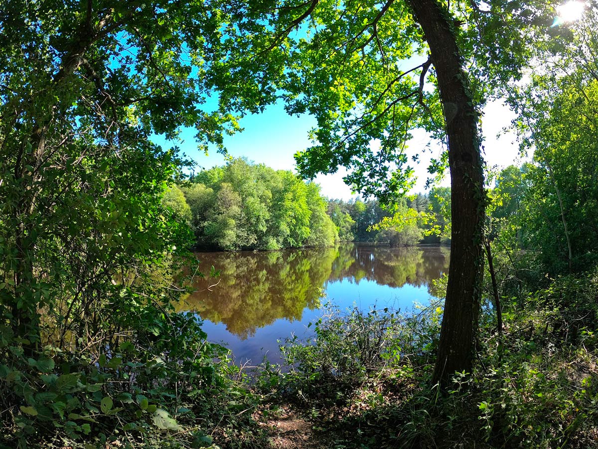
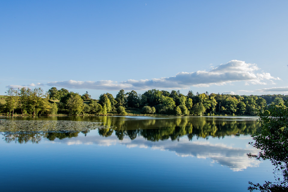
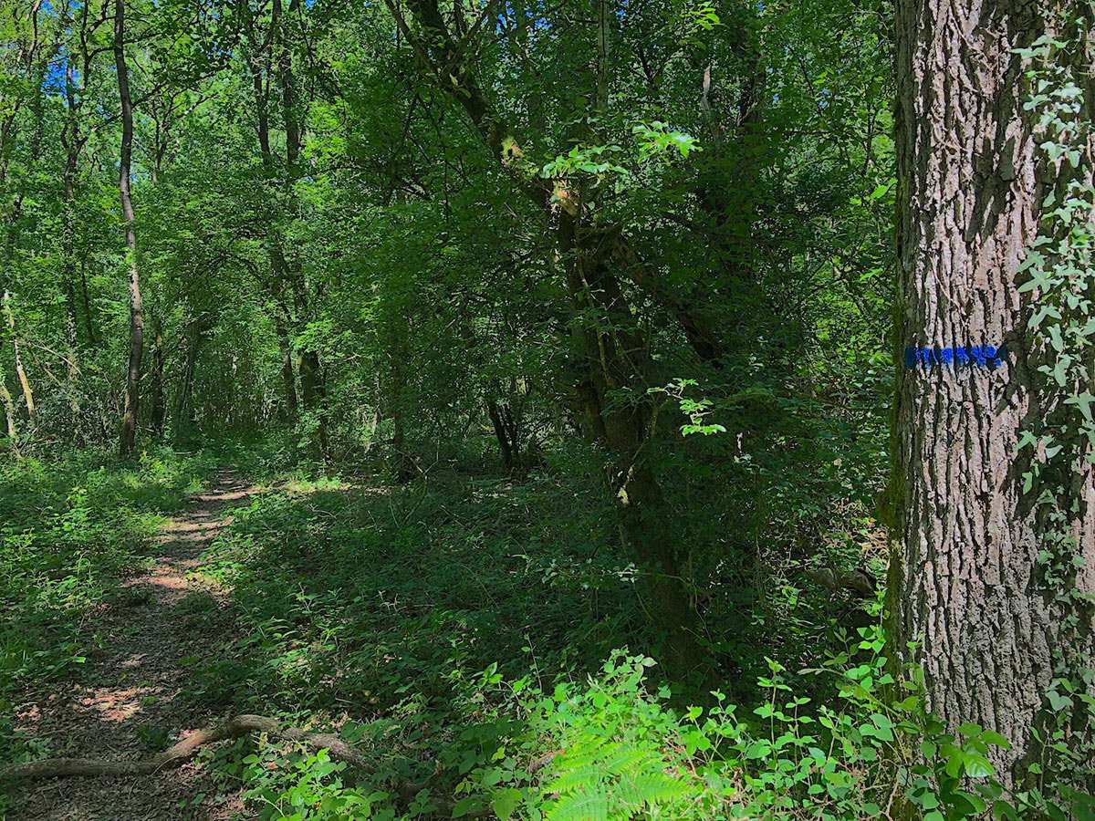
Stroll between woods and meadows in a place with a strong botanical and faunistic diversity, located between Rennes and Vern-sur-Seiche.

Already more than 200,000 users!
Uphill
28m
Highest point
75m
Downhill
28m
Lowest point
41m
Route type
Loop
Download the map on your smartphone to save battery and rest assured to always keep access to the route, even without signal.
Includes IGN France and Swisstopo.
I indicate whether dogs are allowed or prohibited on this trail
All year
3 ratings
Also enjoy:

Already more than 200,000 users!