Uphill
50m
Length
3km
Duration
1h
Elev gain
50m
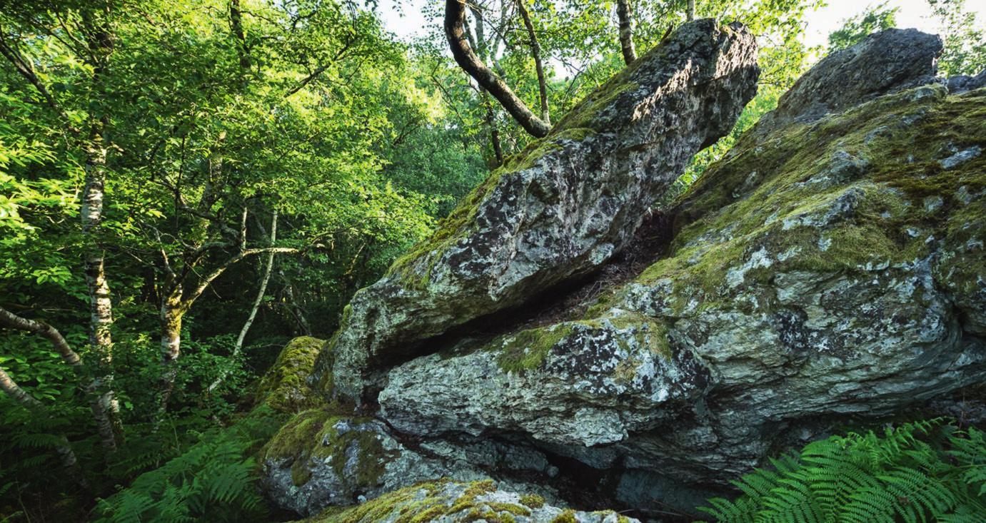
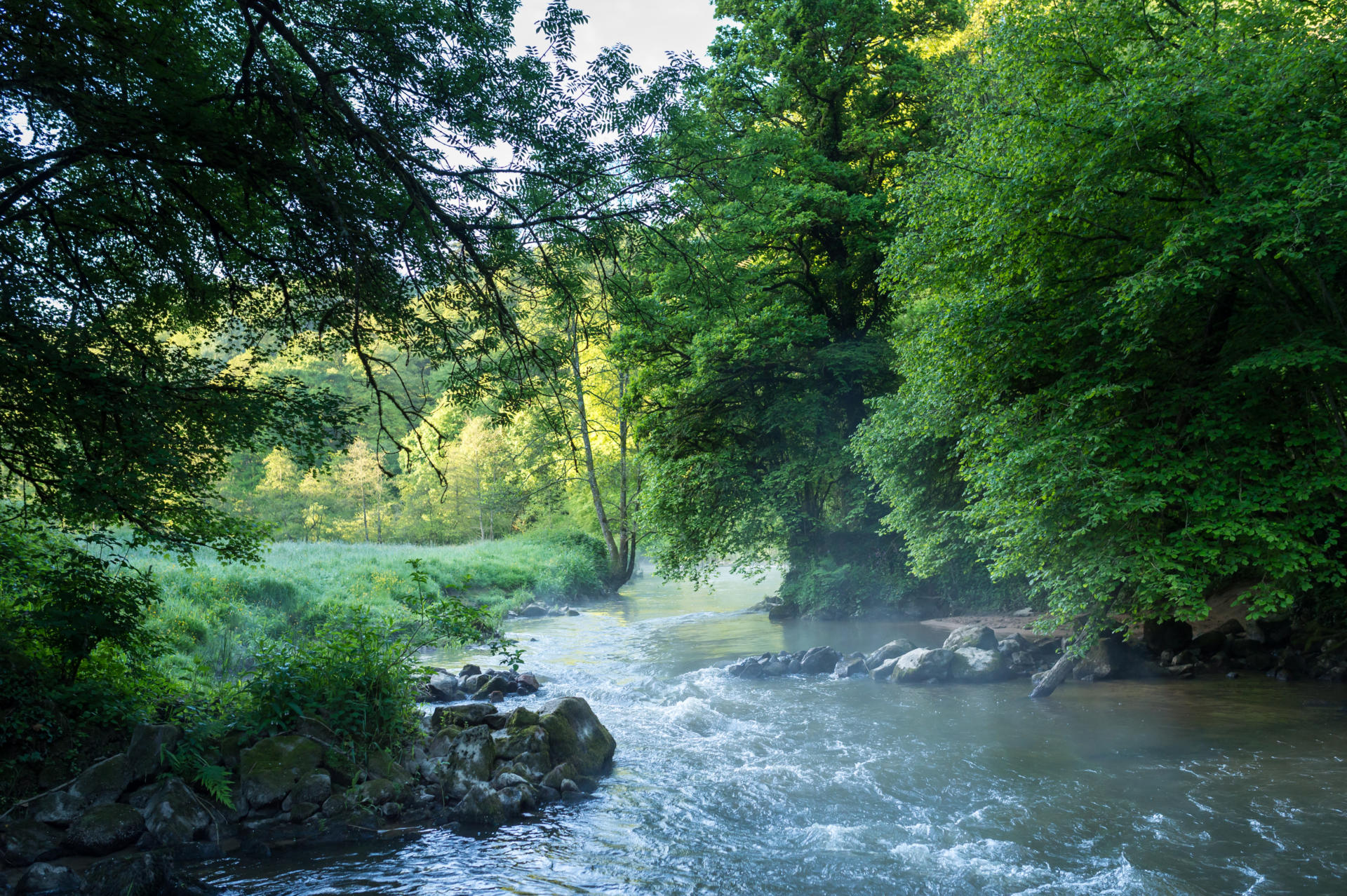
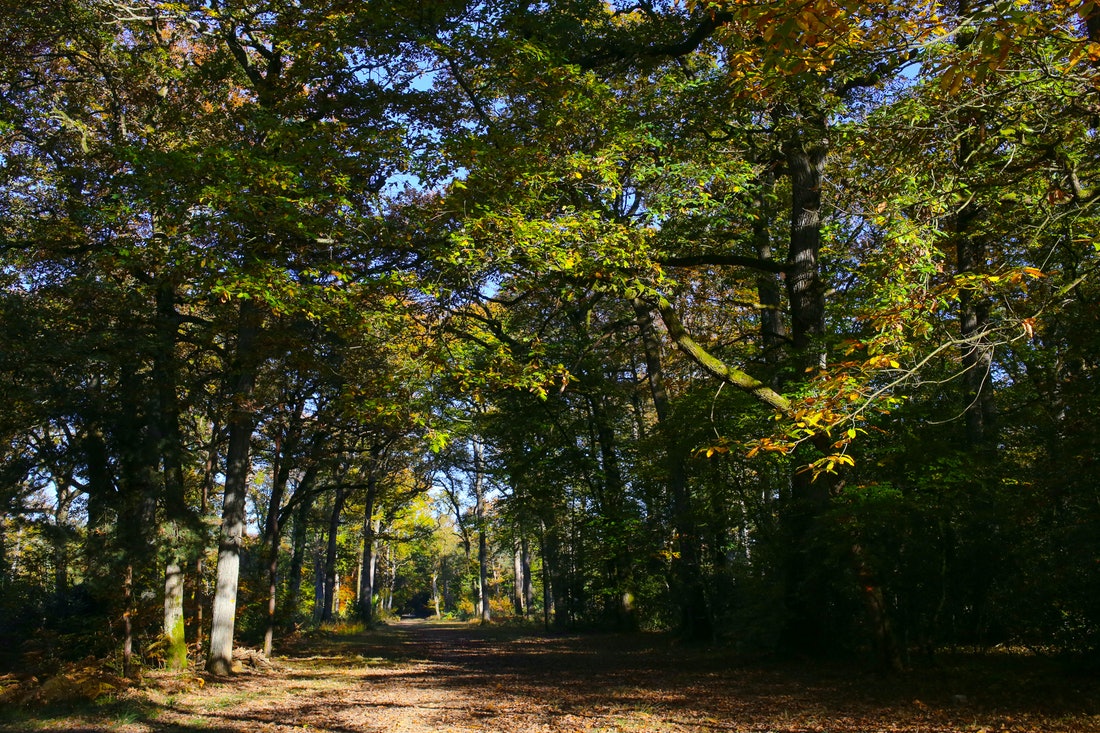
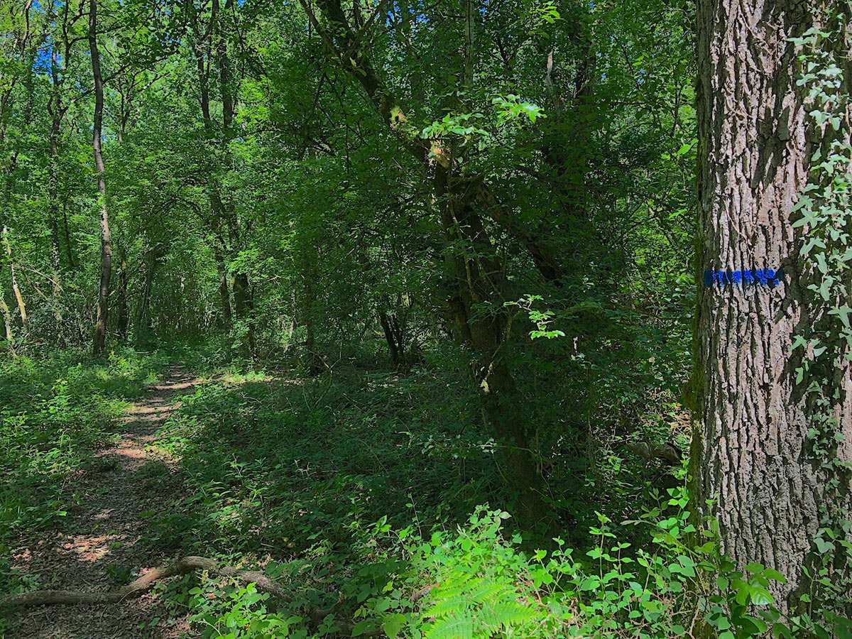
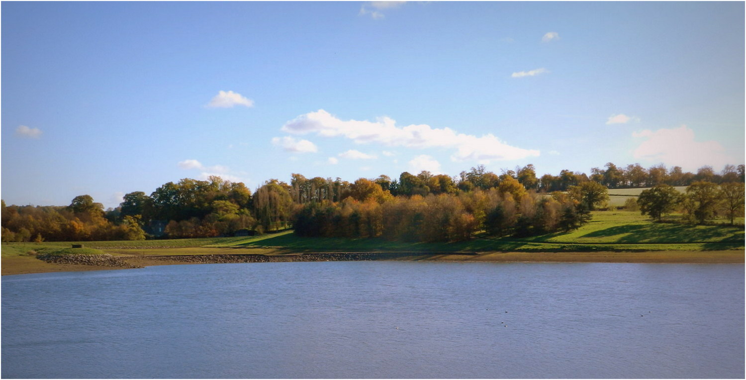
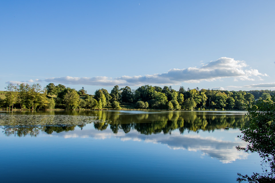
Walk around the pond of Chevré in the town of Bouëxière. This 24-hectare body of water constitutes a preserved fauna and flora reserve, surrounded by a path.

Already more than 200,000 users!
Uphill
50m
Highest point
72m
Downhill
50m
Lowest point
35m
Route type
Loop
Download the map on your smartphone to save battery and rest assured to always keep access to the route, even without signal.
Includes IGN France and Swisstopo.
I indicate whether dogs are allowed or prohibited on this trail
All year
0 ratings
Also enjoy:

Already more than 200,000 users!