Uphill
290m
Length
14km
Duration
4h30min
Elev gain
290m
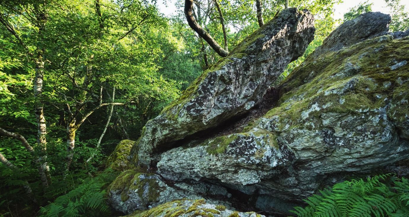
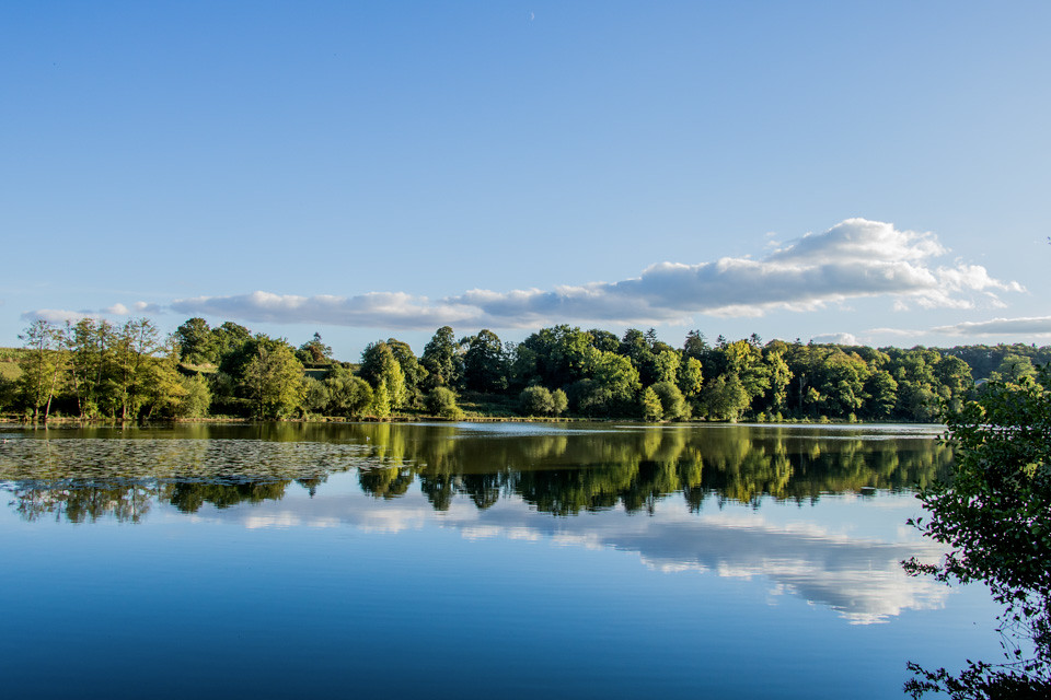
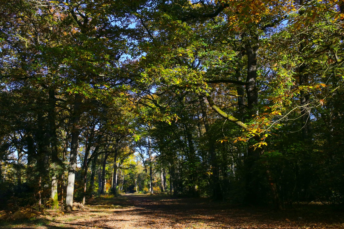
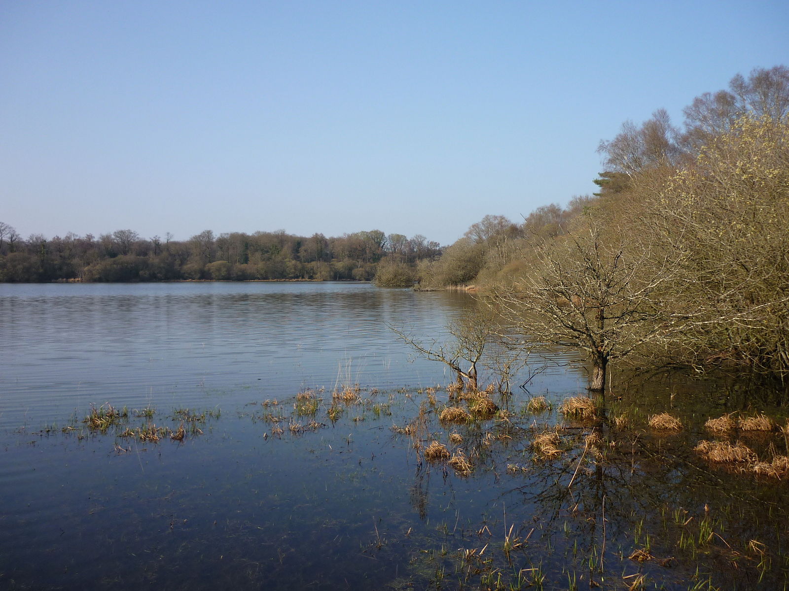
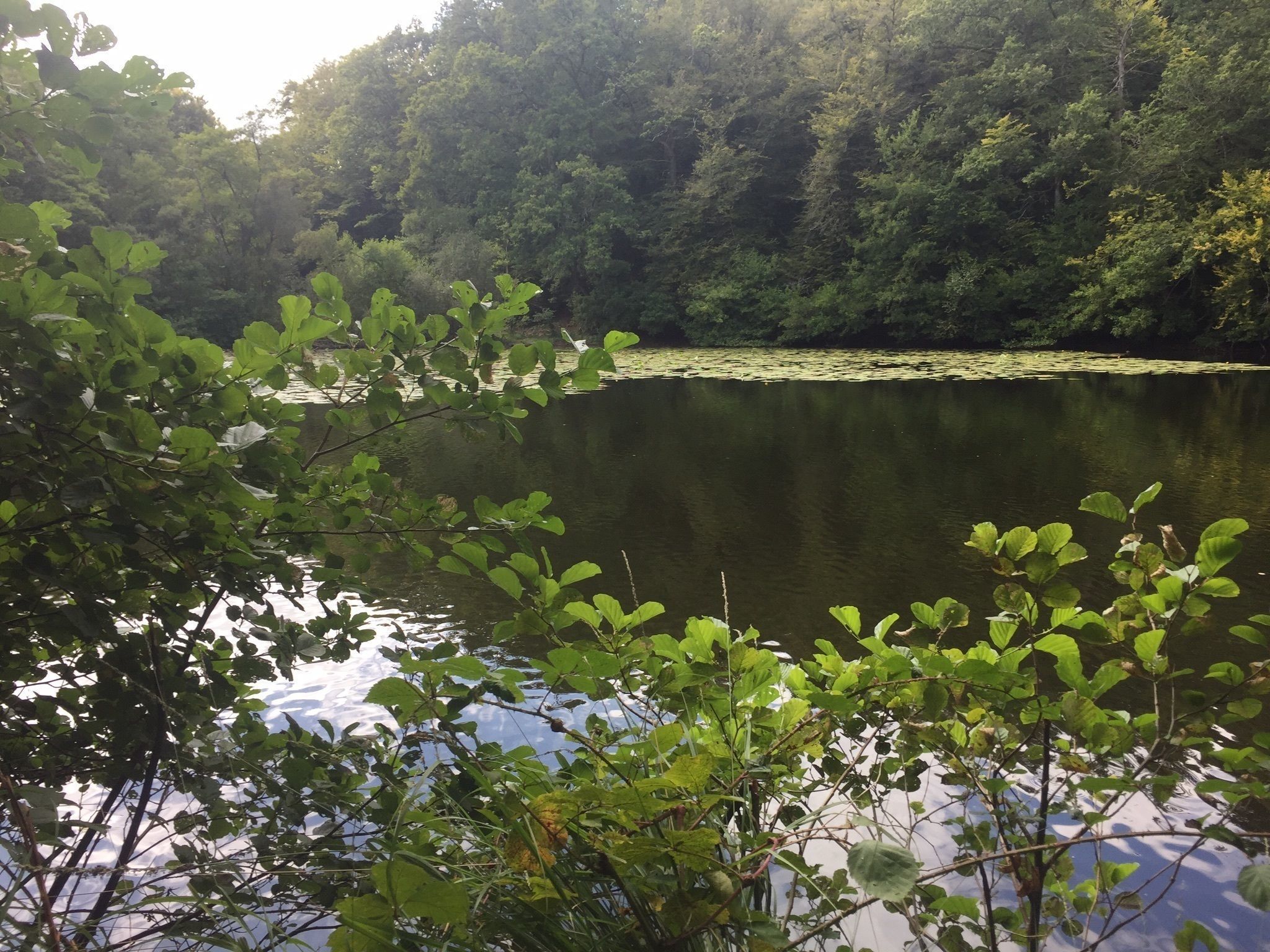
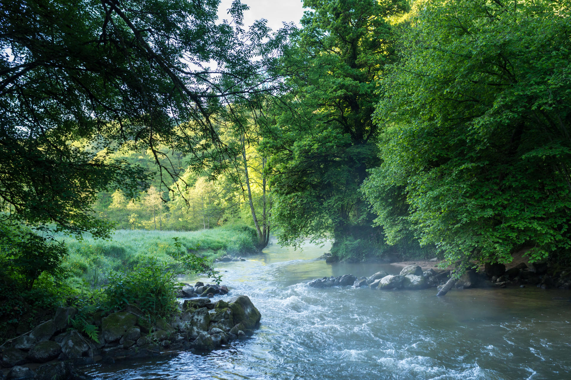
Walk around the Couesnon which winds through a deep valley, overlooked by wooded slopes and meadows.
This trail can easily be split into two loops, west and east, to shorten the walk.

Already more than 200,000 users!
Uphill
290m
Highest point
88m
Downhill
290m
Lowest point
29m
Route type
Loop
Download the map on your smartphone to save battery and rest assured to always keep access to the route, even without signal.
Includes IGN France and Swisstopo.
I indicate whether dogs are allowed or prohibited on this trail
All year
5 ratings
Also enjoy:

Already more than 200,000 users!