Uphill
165m
Length
7km
Duration
2h
Elev gain
165m
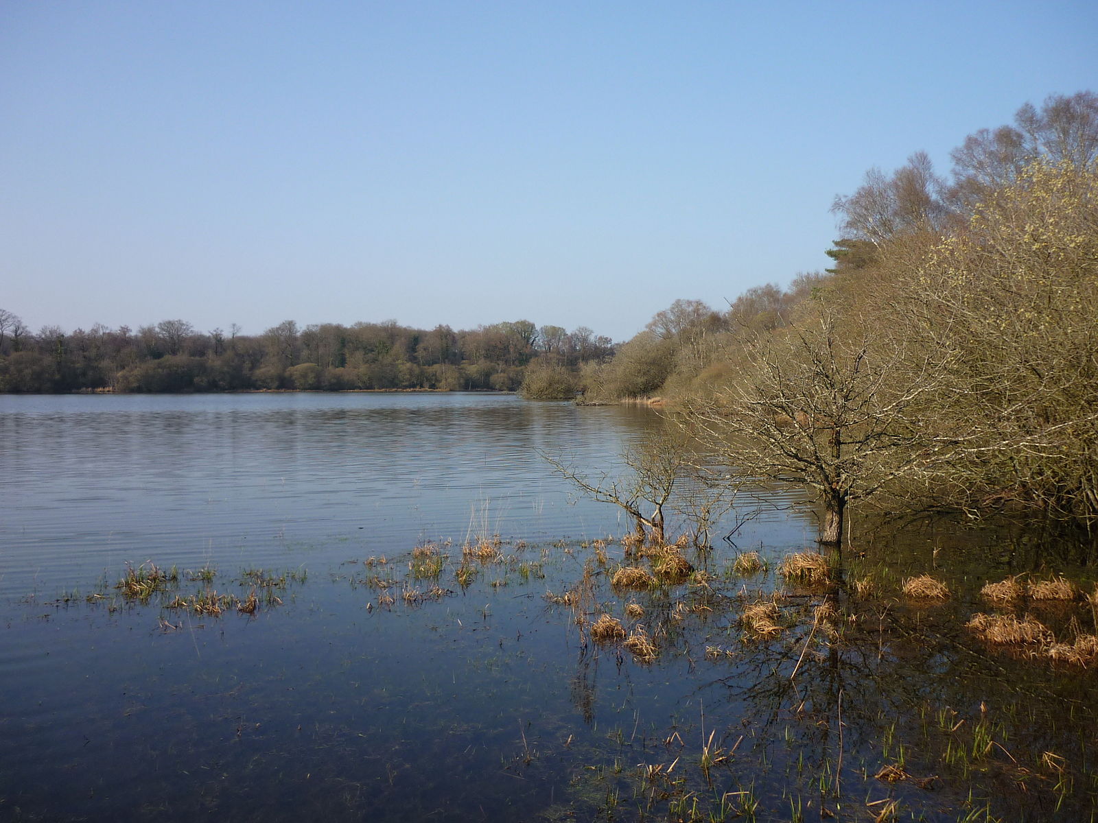
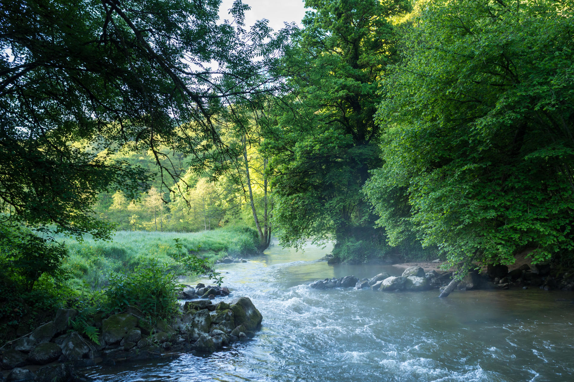
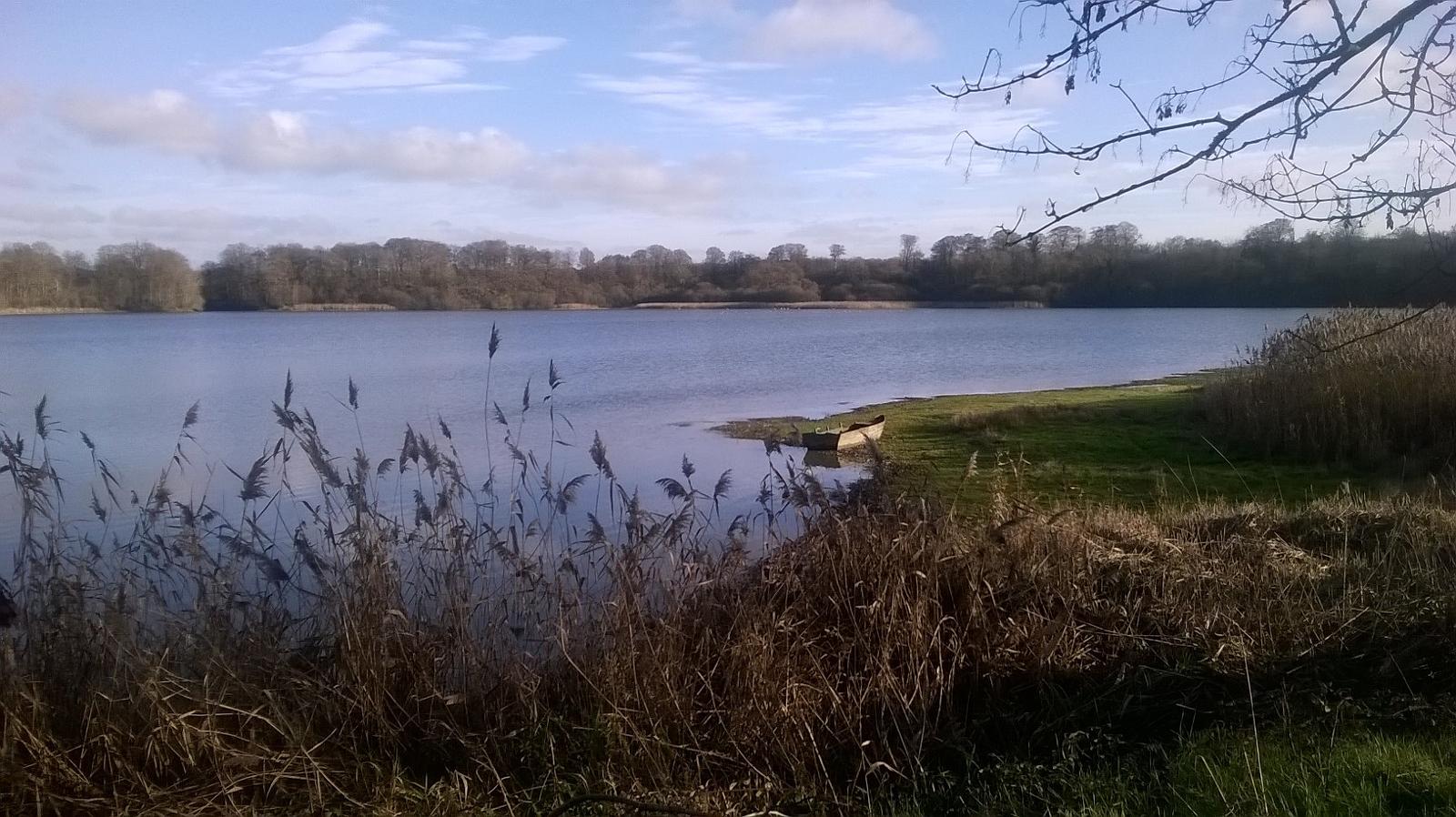
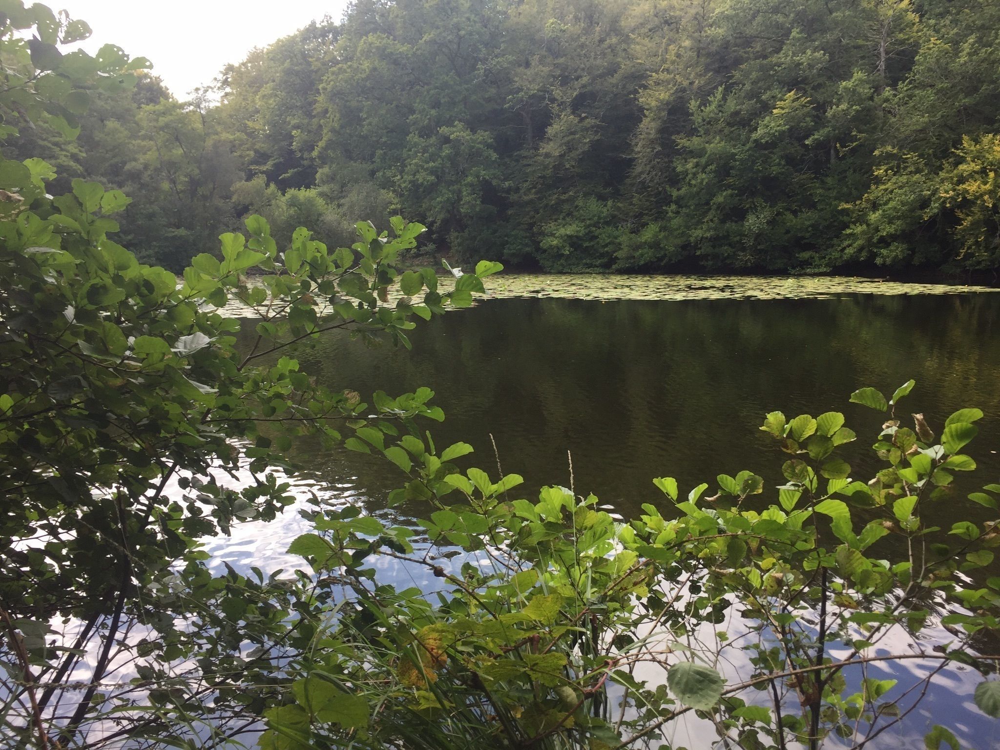
Walk in the forest starting from the pond of Villecartier, which is home to many sports activities. The shaded path then passes through the cross of Montaugé, and above all allows you to enjoy ancient beeches and oaks.

Already more than 200,000 users!
Uphill
165m
Highest point
152m
Downhill
164m
Lowest point
71m
Route type
Loop
Download the map on your smartphone to save battery and rest assured to always keep access to the route, even without signal.
Includes IGN France and Swisstopo.
I indicate whether dogs are allowed or prohibited on this trail
All year
0 ratings
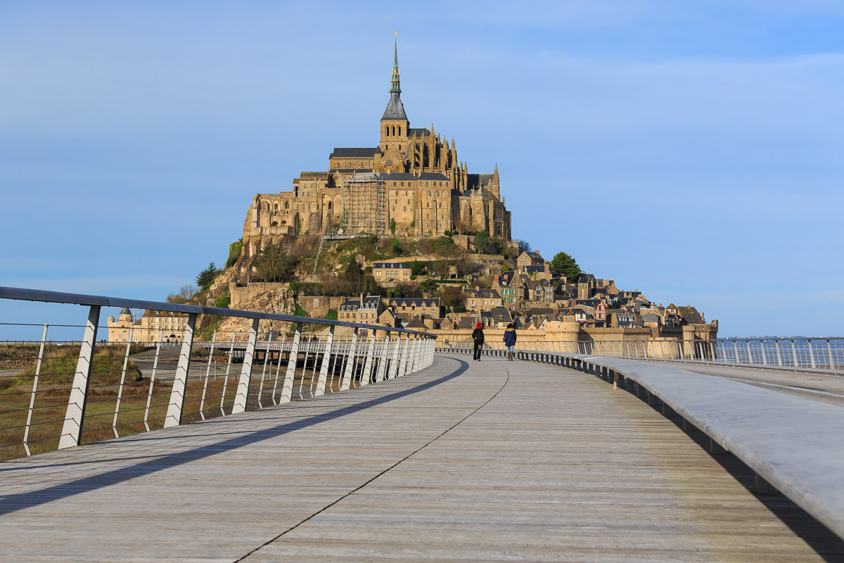
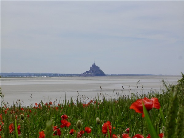
Also enjoy:

Already more than 200,000 users!