Uphill
79m
Length
7km
Duration
2h
Elev gain
79m
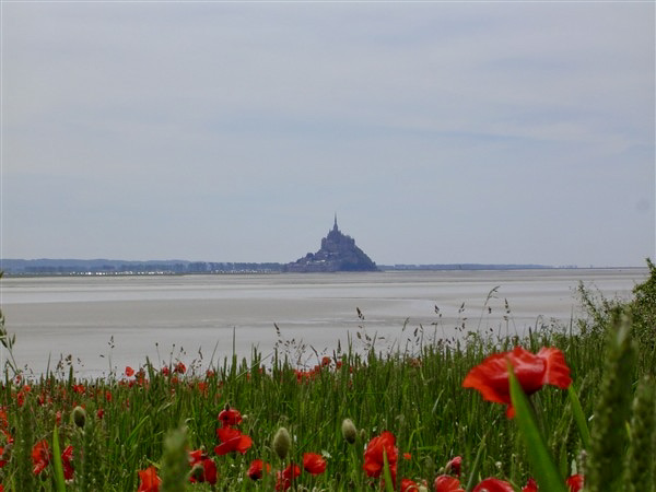
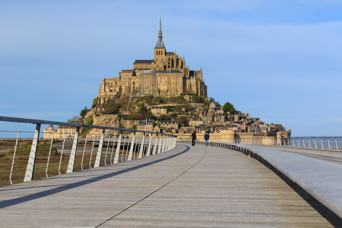
From the footbridge leading to Mont-Saint-Michel, the iconic silhouette of the abbey knows how to charm visitors. The circuit then winds through the small medieval streets.
Note that the island, which is a UNESCO World Heritage Site, is one of the most popular tourist sites in France.

Already more than 200,000 users!
Uphill
79m
Highest point
65m
Downhill
79m
Lowest point
7m
Route type
There and back
Download the map on your smartphone to save battery and rest assured to always keep access to the route, even without signal.
Includes IGN France and Swisstopo.
I indicate whether dogs are allowed or prohibited on this trail
All year
0 ratings
Also enjoy:

Already more than 200,000 users!