Uphill
128m
Length
8km
Duration
2h
Elev gain
128m
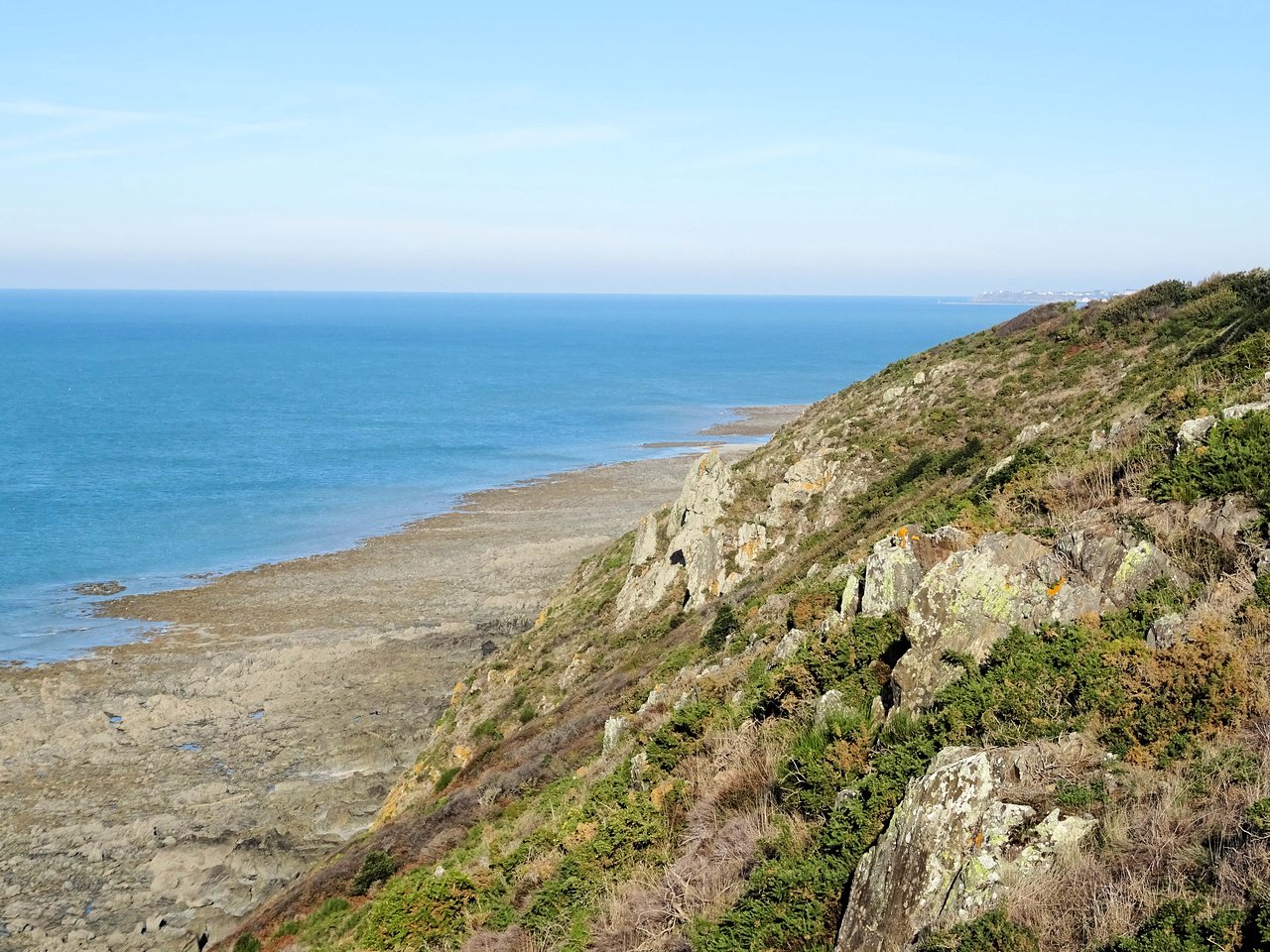
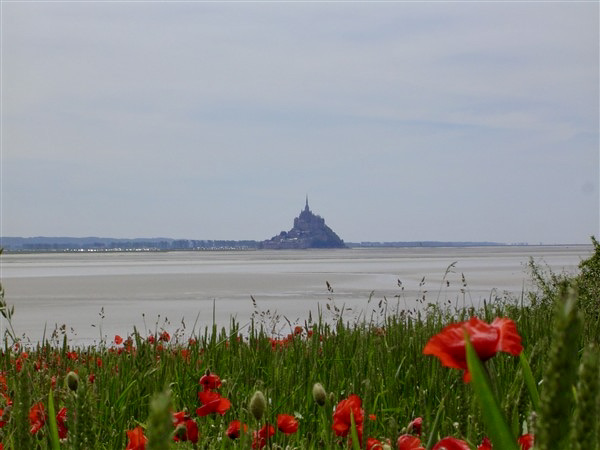
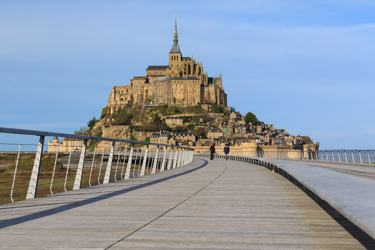
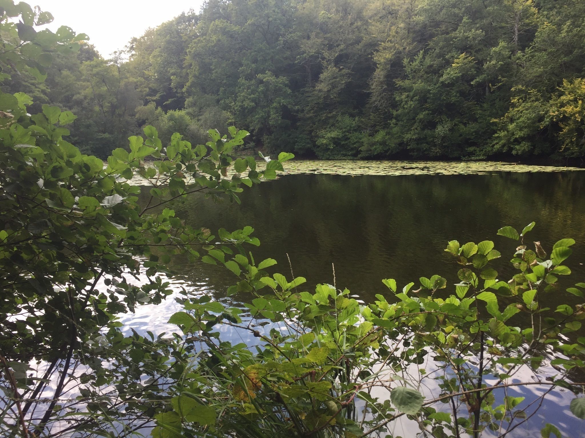
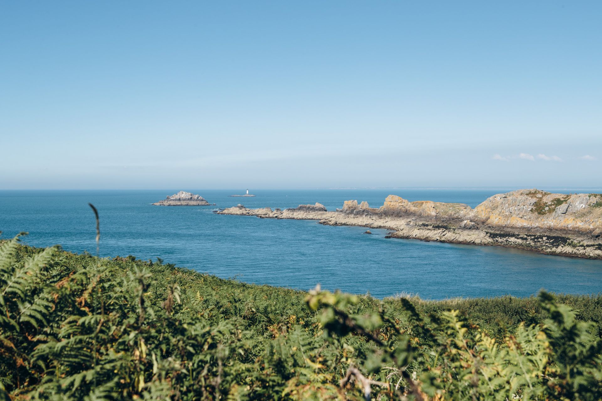
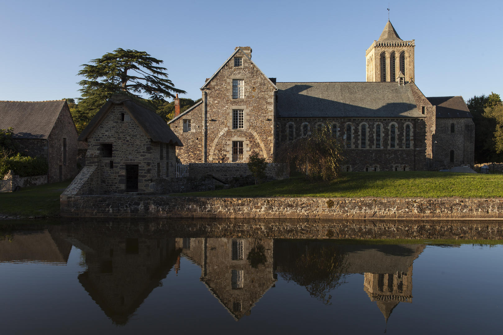
Here is a hike in the hollow of the Thar valley, between the hamlets of Épine and La Gislardière. The route begins at the foot of the Sainte-Trinité de la Lucerne abbey, then makes a loop between trees and rivers on a pretty open path.

Already more than 200,000 users!
Uphill
128m
Highest point
124m
Downhill
128m
Lowest point
22m
Route type
Loop
Download the map on your smartphone to save battery and rest assured to always keep access to the route, even without signal.
Includes IGN France and Swisstopo.
I indicate whether dogs are allowed or prohibited on this trail
All year
1 rating
J’ai apprécié ces sentiers très agréables,car même si certains sentiers avaient de la boue,l’on pouvait en emprunter d’autres.Randonnée en plus sous le soleil,je ne connaissais par le village de st Ursule et l’arbre est magnifique dans ce village.
Also enjoy:

Already more than 200,000 users!