Uphill
147m
Length
10km
Duration
3h
Elev gain
147m
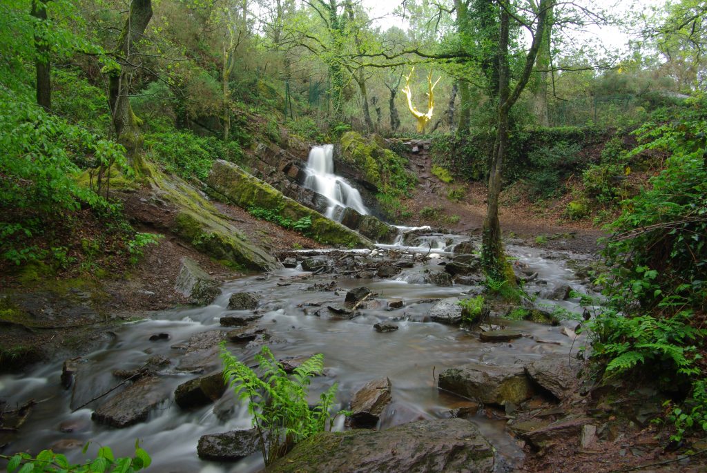
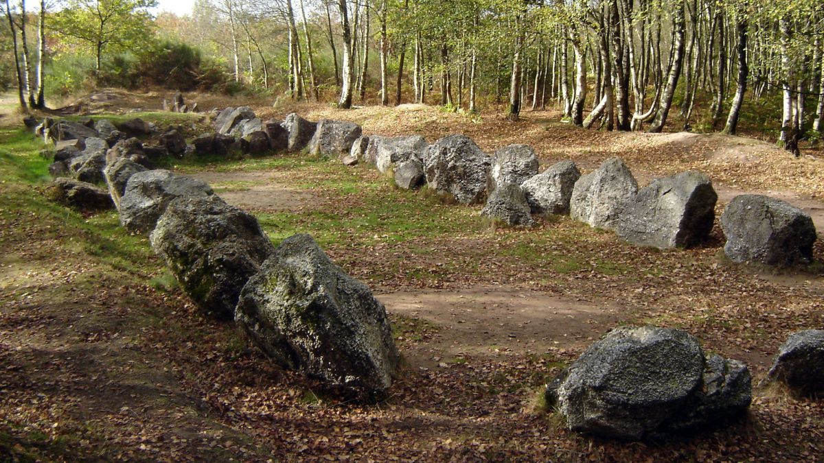
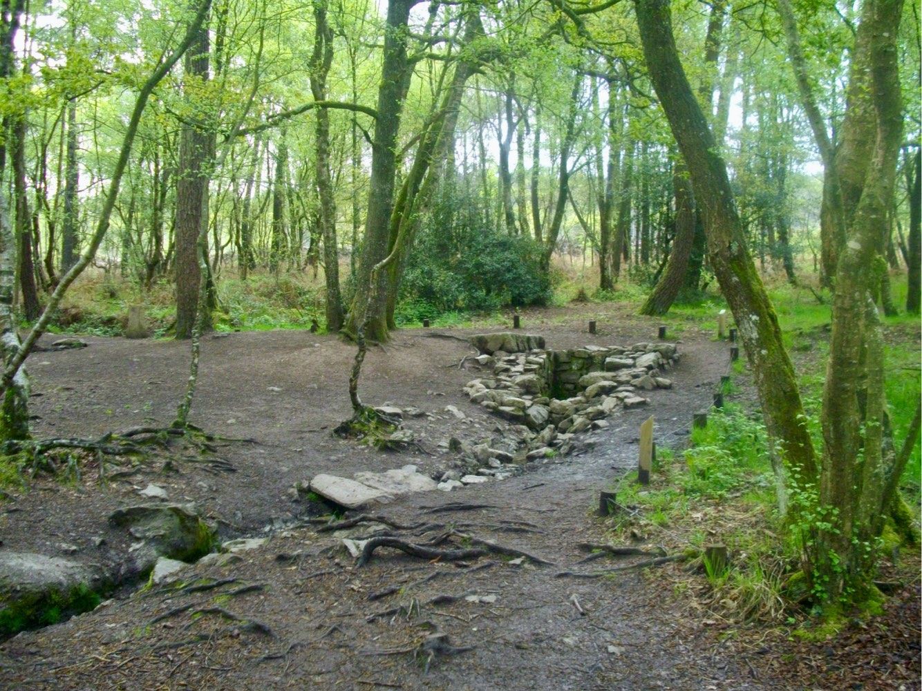
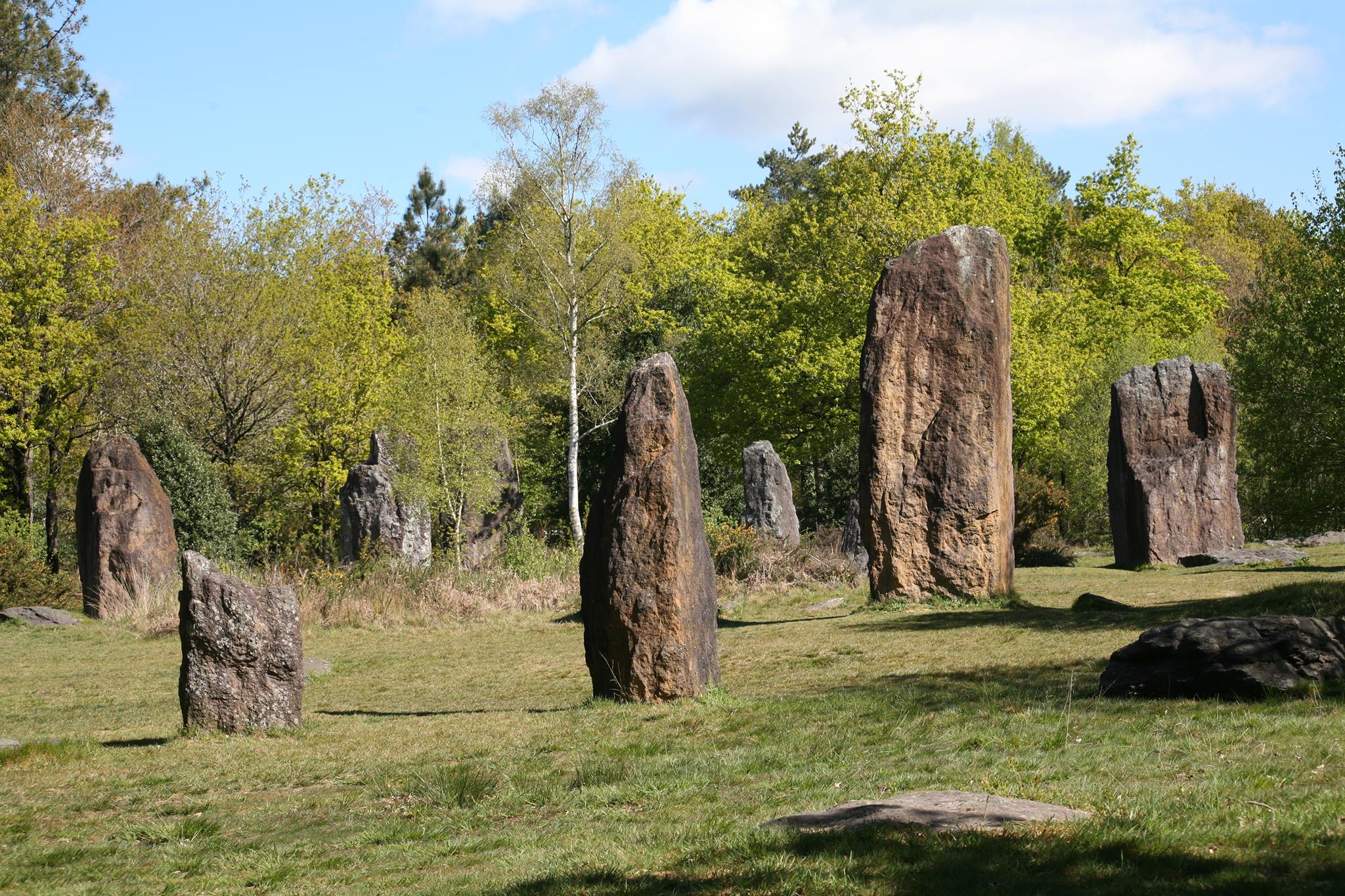
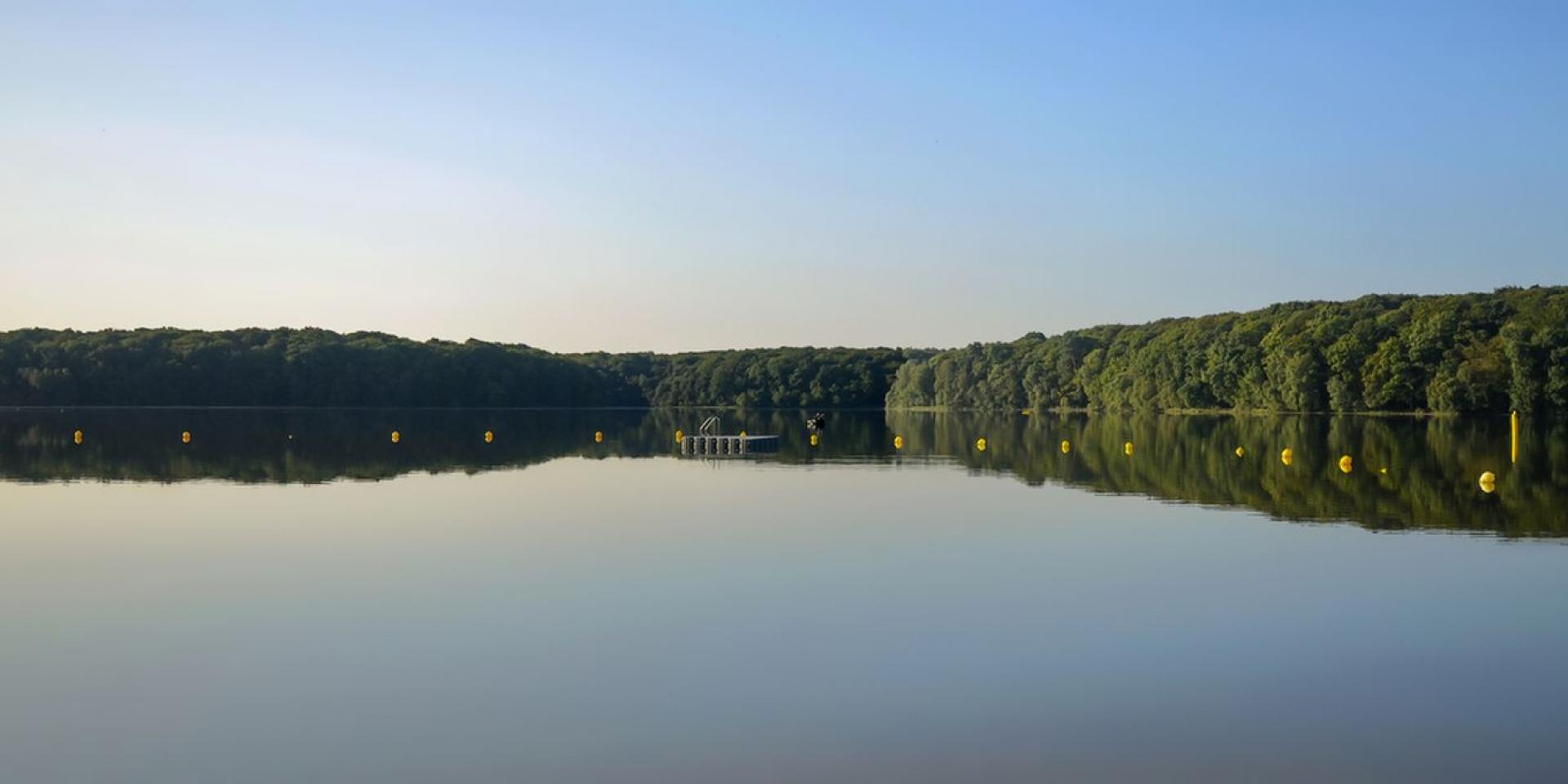
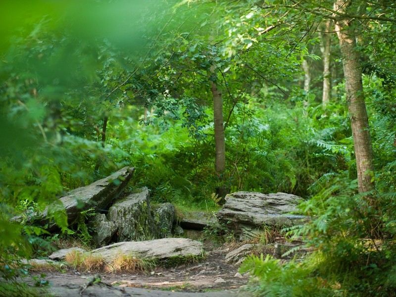
Loop between moors and forests, and near two monoliths: the Tombeau du Géant and the Hotié de Viviane.

Already more than 200,000 users!
Uphill
147m
Highest point
200m
Downhill
147m
Lowest point
89m
Route type
Loop
Download the map on your smartphone to save battery and rest assured to always keep access to the route, even without signal.
Includes IGN France and Swisstopo.
I indicate whether dogs are allowed or prohibited on this trail
All year
1 rating
Also enjoy:

Already more than 200,000 users!