Uphill
149m
Length
11km
Duration
3h
Elev gain
149m
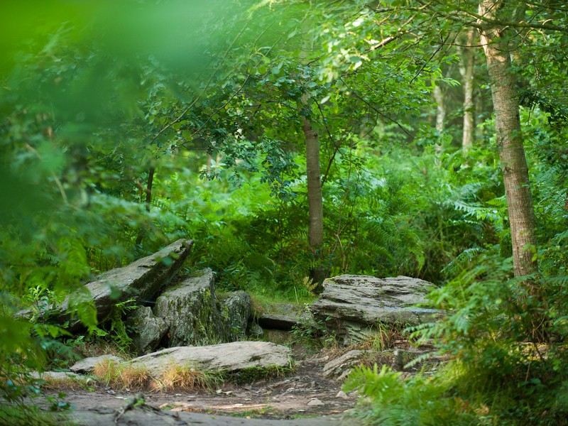
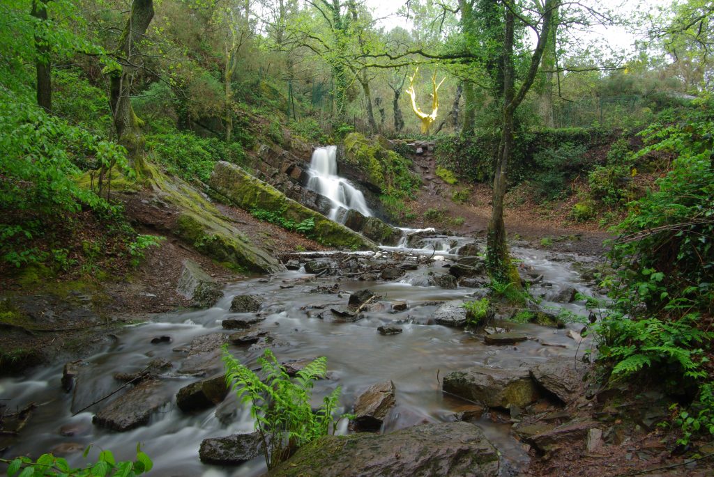
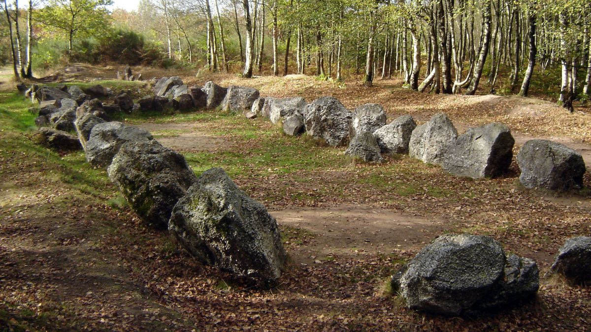
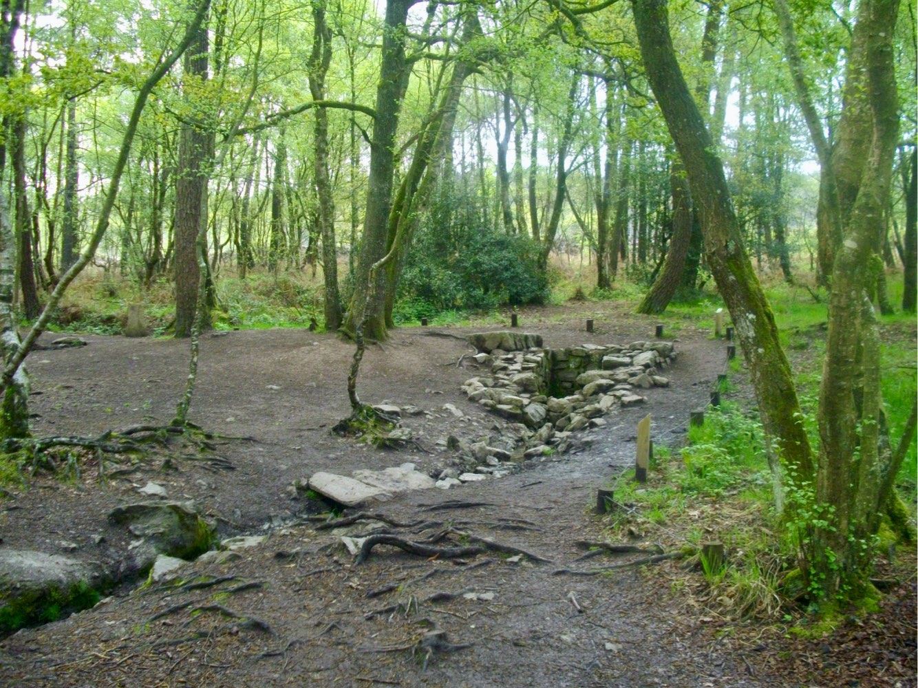
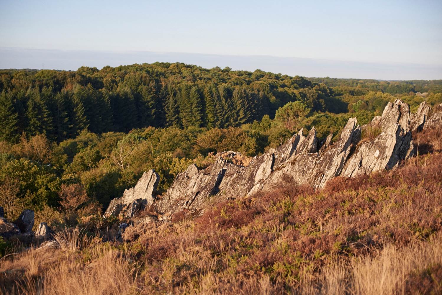
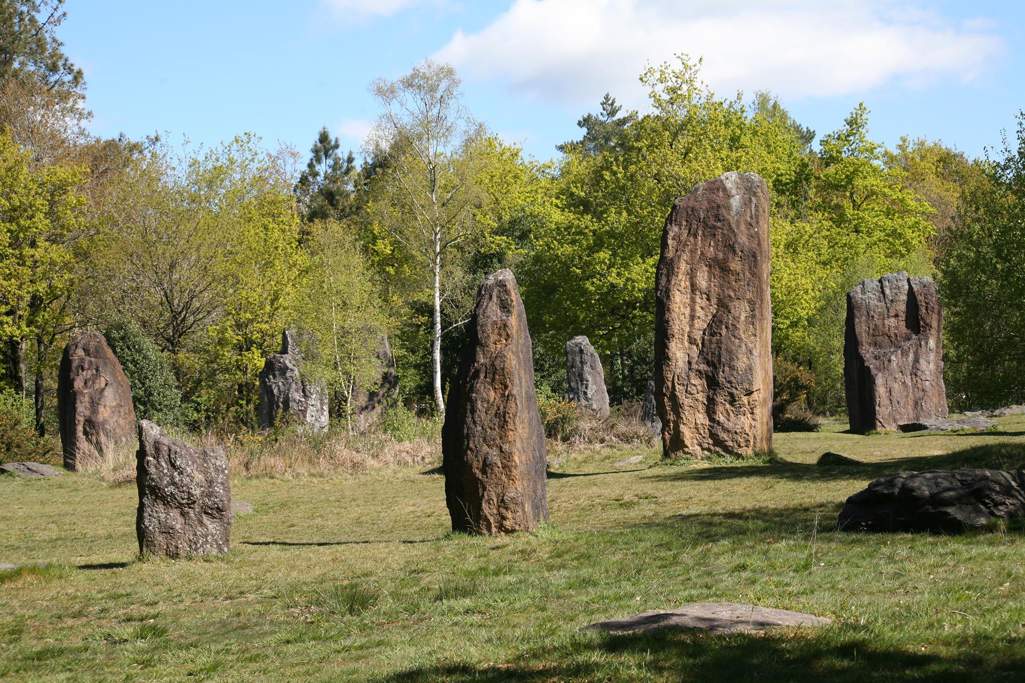
Loop trail through the moors of Monteneuf, passing near the Quéhéon pond, woods, and above all allowing you to discover a remarkable megalithic site. More than 40 raised menhirs, hundreds of stones, and covered walkways.

Already more than 200,000 users!
Uphill
149m
Highest point
167m
Downhill
151m
Lowest point
101m
Route type
Loop
Download the map on your smartphone to save battery and rest assured to always keep access to the route, even without signal.
Includes IGN France and Swisstopo.
I indicate whether dogs are allowed or prohibited on this trail
All year
4 ratings
Also enjoy:

Already more than 200,000 users!