Uphill
158m
Length
12km
Duration
3h30min
Elev gain
158m
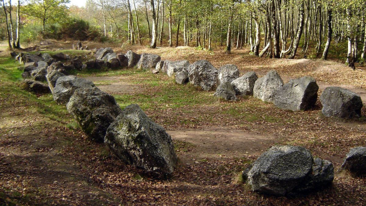
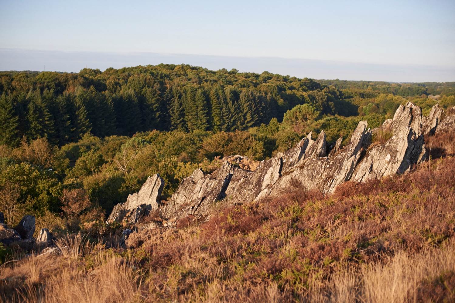
Departing from Rochefort-en-Terre, voted "favorite village of French people" in 2016, this trail first takes a small wooded crest, before winding between hamlets and fields. The old slate quarries of Pluherlin and the pond of the Moulin are two interesting points of the trail.

Already more than 200,000 users!
Uphill
158m
Highest point
92m
Downhill
158m
Lowest point
29m
Route type
Loop
Download the map on your smartphone to save battery and rest assured to always keep access to the route, even without signal.
Includes IGN France and Swisstopo.
I indicate whether dogs are allowed or prohibited on this trail
All year
0 ratings
Also enjoy:

Already more than 200,000 users!