Uphill
91m
Length
10km
Duration
2h30min
Elev gain
91m
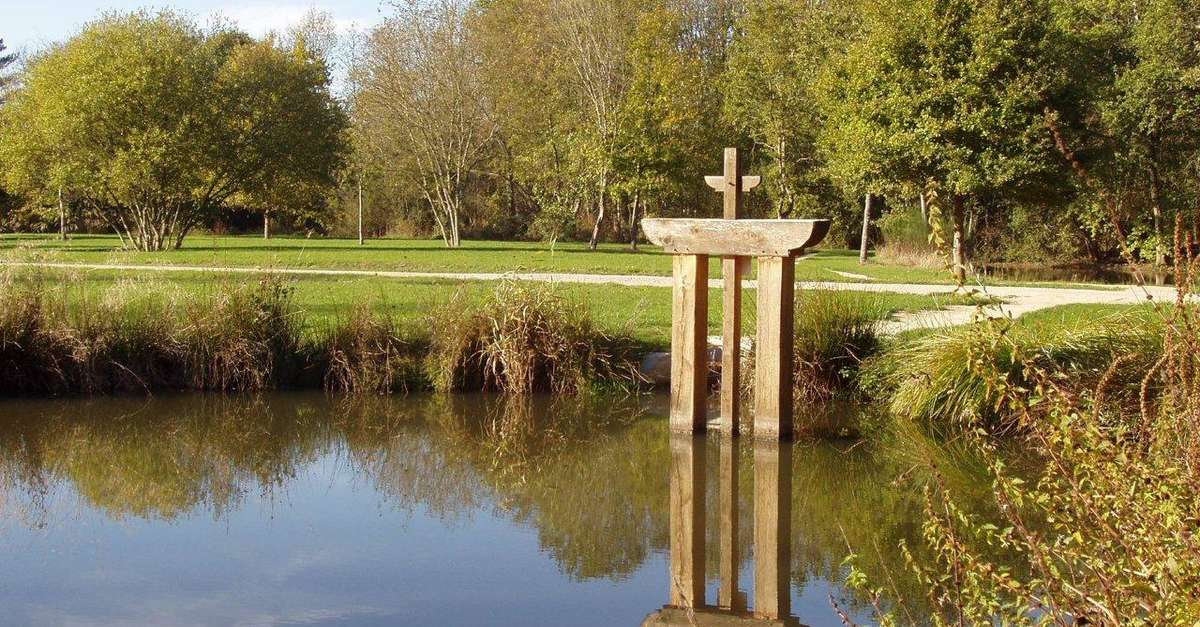
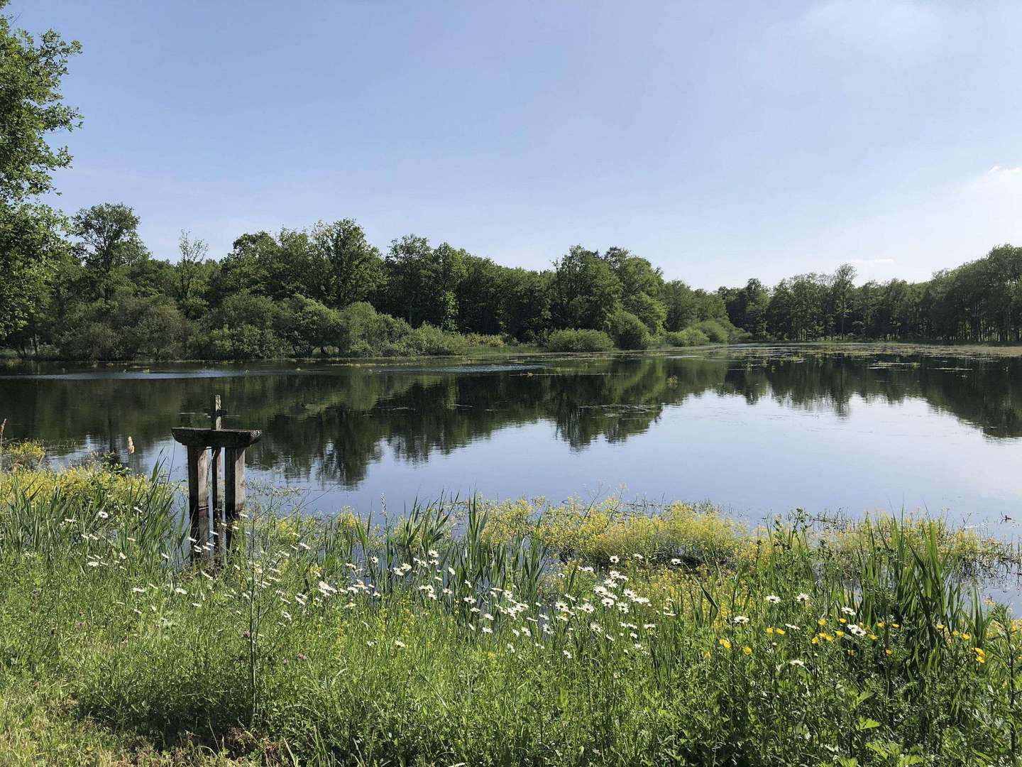
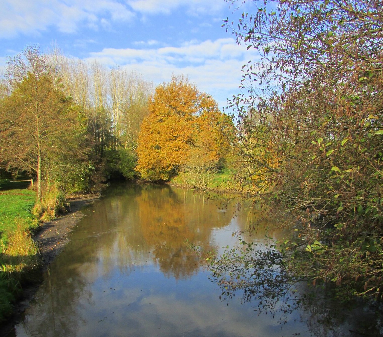
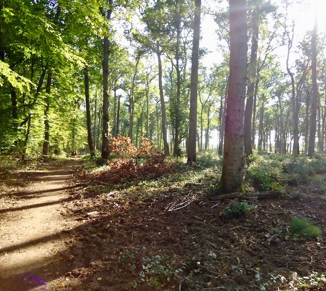
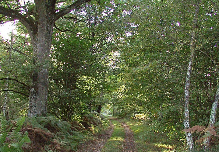
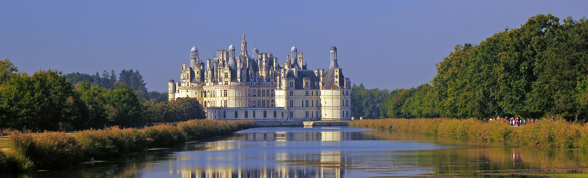
Stroll in the park of the Château de Chambord, offering beautiful views of the building. The trail runs alongside Le Cosson, a canalized river, before winding through the forest.

Already more than 200,000 users!
Uphill
91m
Highest point
117m
Downhill
91m
Lowest point
60m
Route type
Loop
Download the map on your smartphone to save battery and rest assured to always keep access to the route, even without signal.
Includes IGN France and Swisstopo.
I indicate whether dogs are allowed or prohibited on this trail
All year
1 rating
Exceptionnel !!!!
Also enjoy:

Already more than 200,000 users!