Uphill
159m
Length
7km
Duration
2h
Elev gain
159m
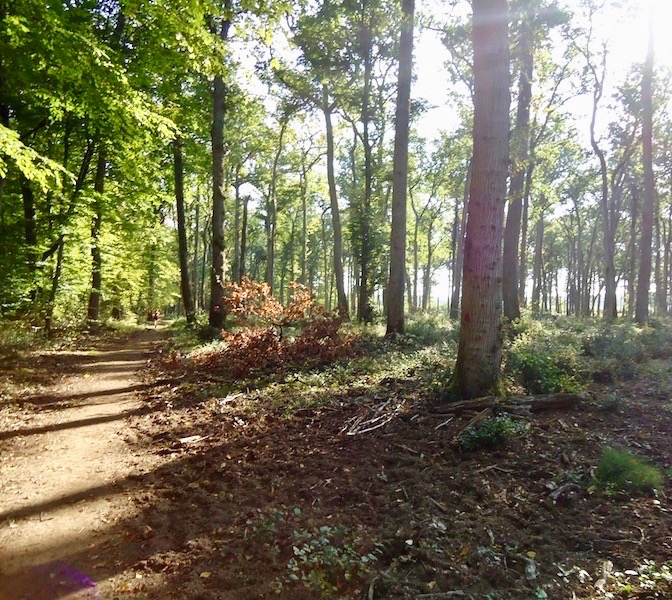
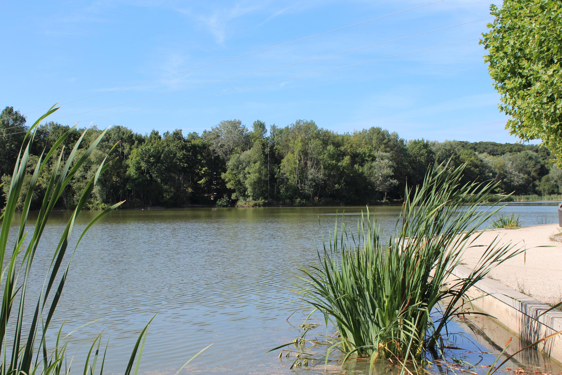
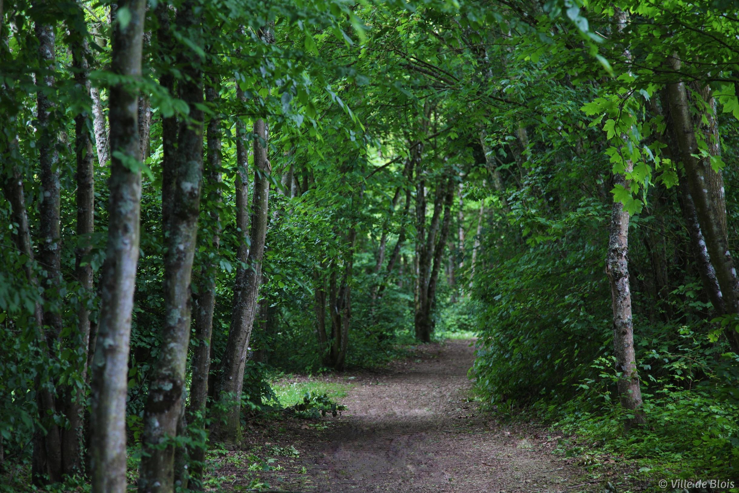
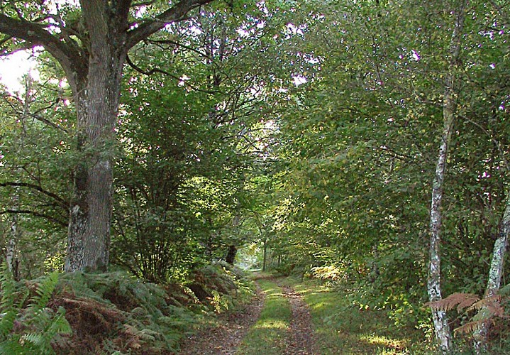
It is in the small town of Saint-Gervais-la-Forêt that this lovely walk takes place. The route makes a loop in the undergrowth in the heart of the charming Coteau reserve and the Russy forest.

Already more than 200,000 users!
Uphill
159m
Highest point
163m
Downhill
159m
Lowest point
68m
Route type
Loop
Download the map on your smartphone to save battery and rest assured to always keep access to the route, even without signal.
Includes IGN France and Swisstopo.
I indicate whether dogs are allowed or prohibited on this trail
All year
1 rating
Top c super !
Also enjoy:

Already more than 200,000 users!