Uphill
13m
Length
1km
Duration
30min
Elev gain
13m
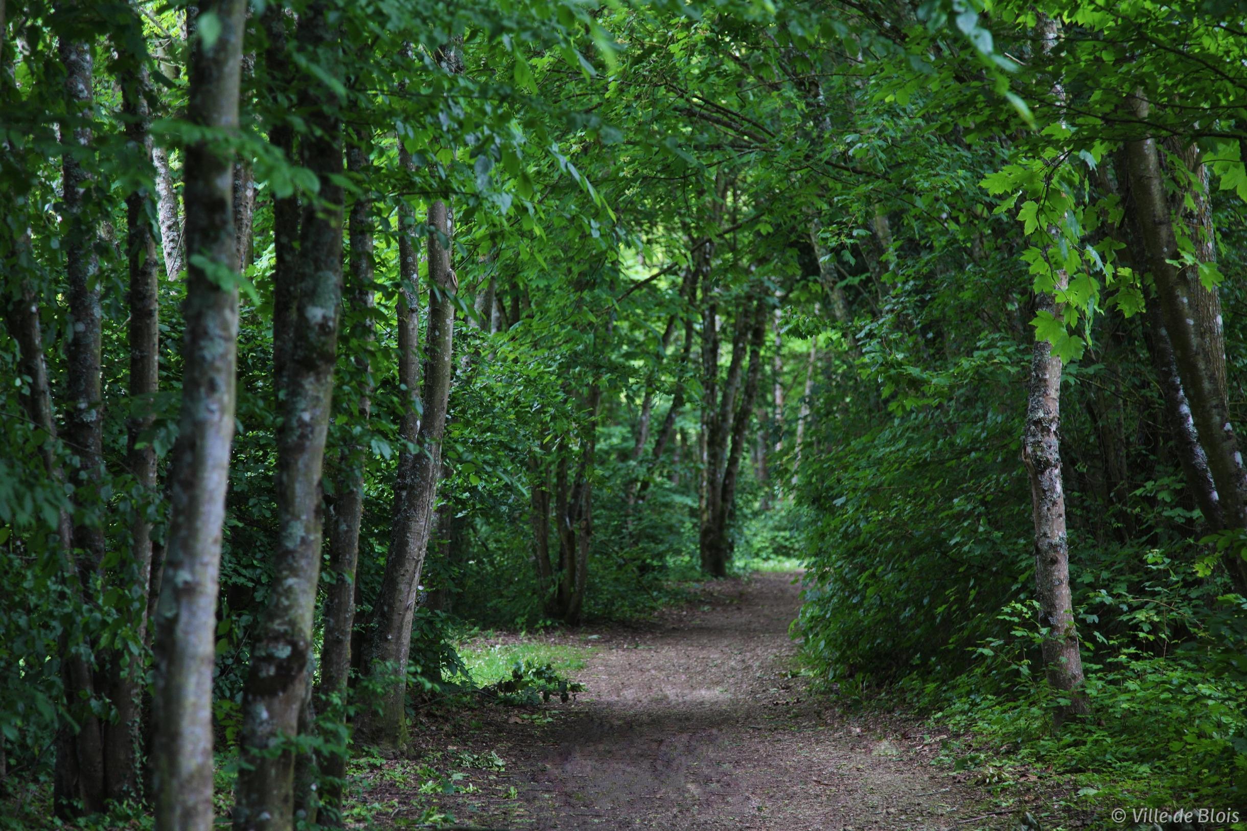
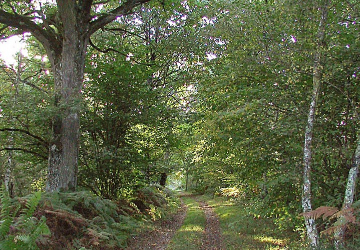
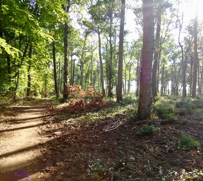
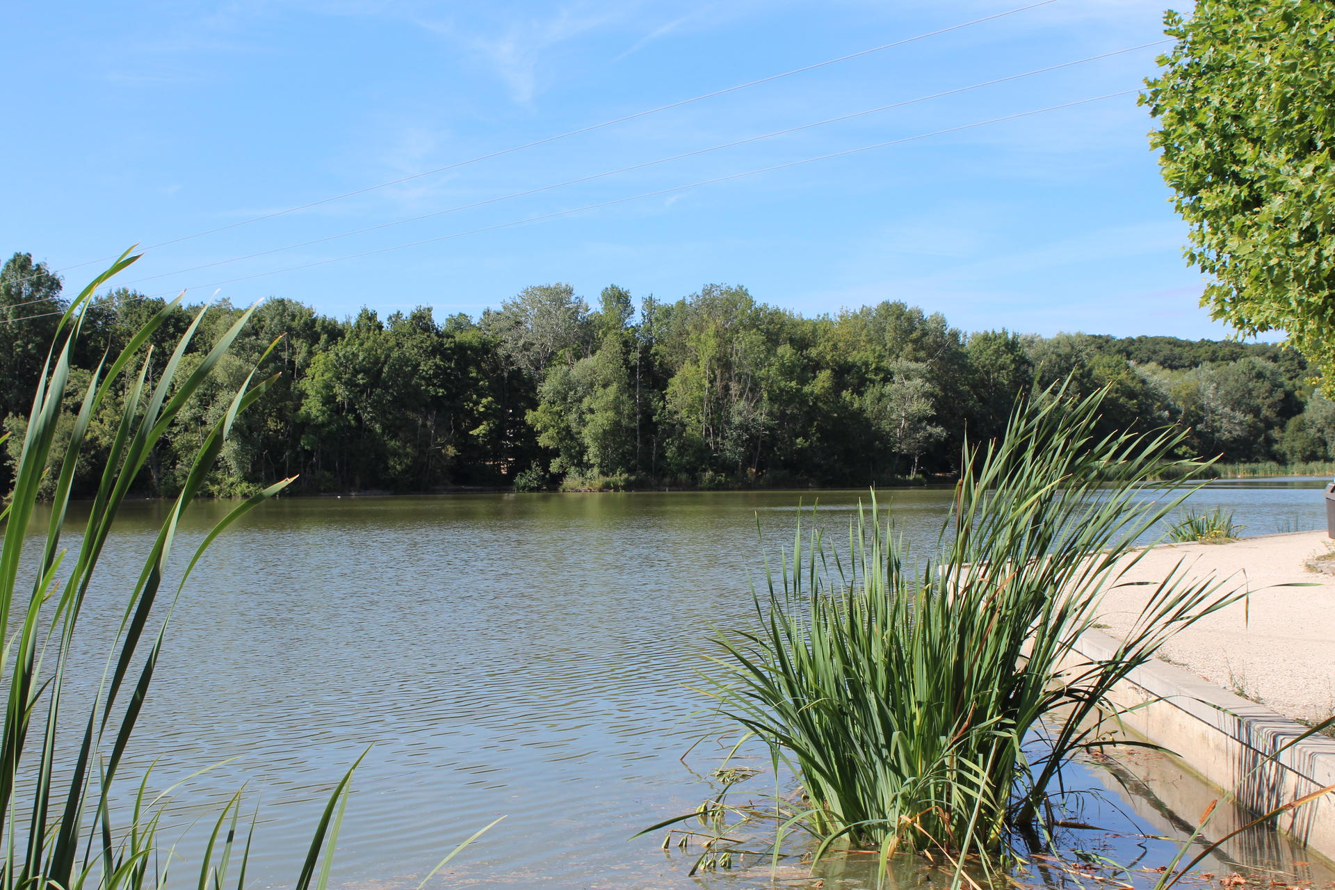
Located in the city of Blois, this course is ideal for a short family outing. The walk goes around the pretty Lac de la Pinçonnière, in the heart of a park to the west of the city.

Already more than 200,000 users!
Uphill
13m
Highest point
123m
Downhill
13m
Lowest point
107m
Route type
Loop
Download the map on your smartphone to save battery and rest assured to always keep access to the route, even without signal.
Includes IGN France and Swisstopo.
I indicate whether dogs are allowed or prohibited on this trail
All year
0 ratings
Also enjoy:

Already more than 200,000 users!