Uphill
110m
France > Centre-Val de Loire > Loir-et-Cher
Length
12km
Duration
3h
Elev gain
110m
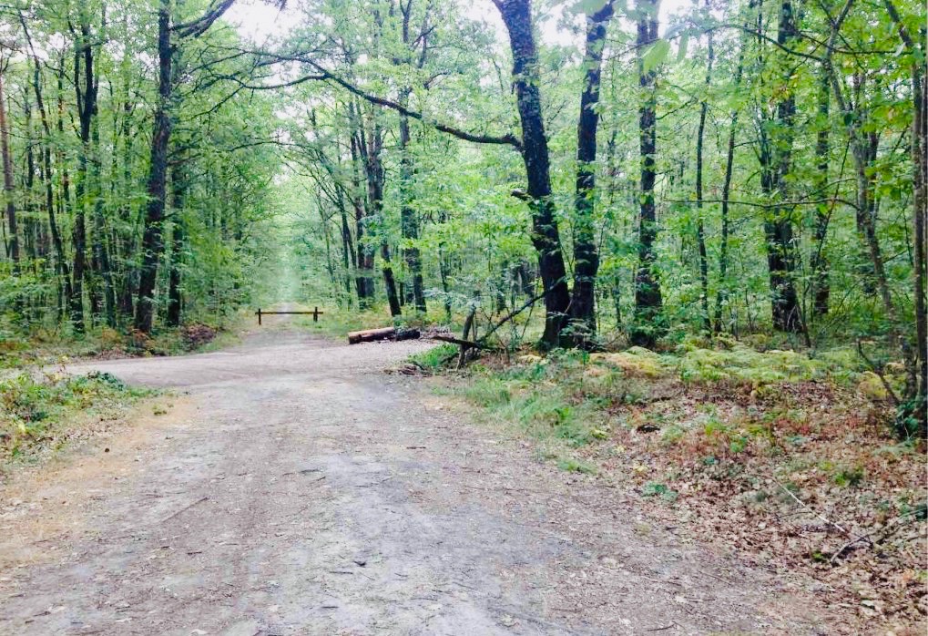
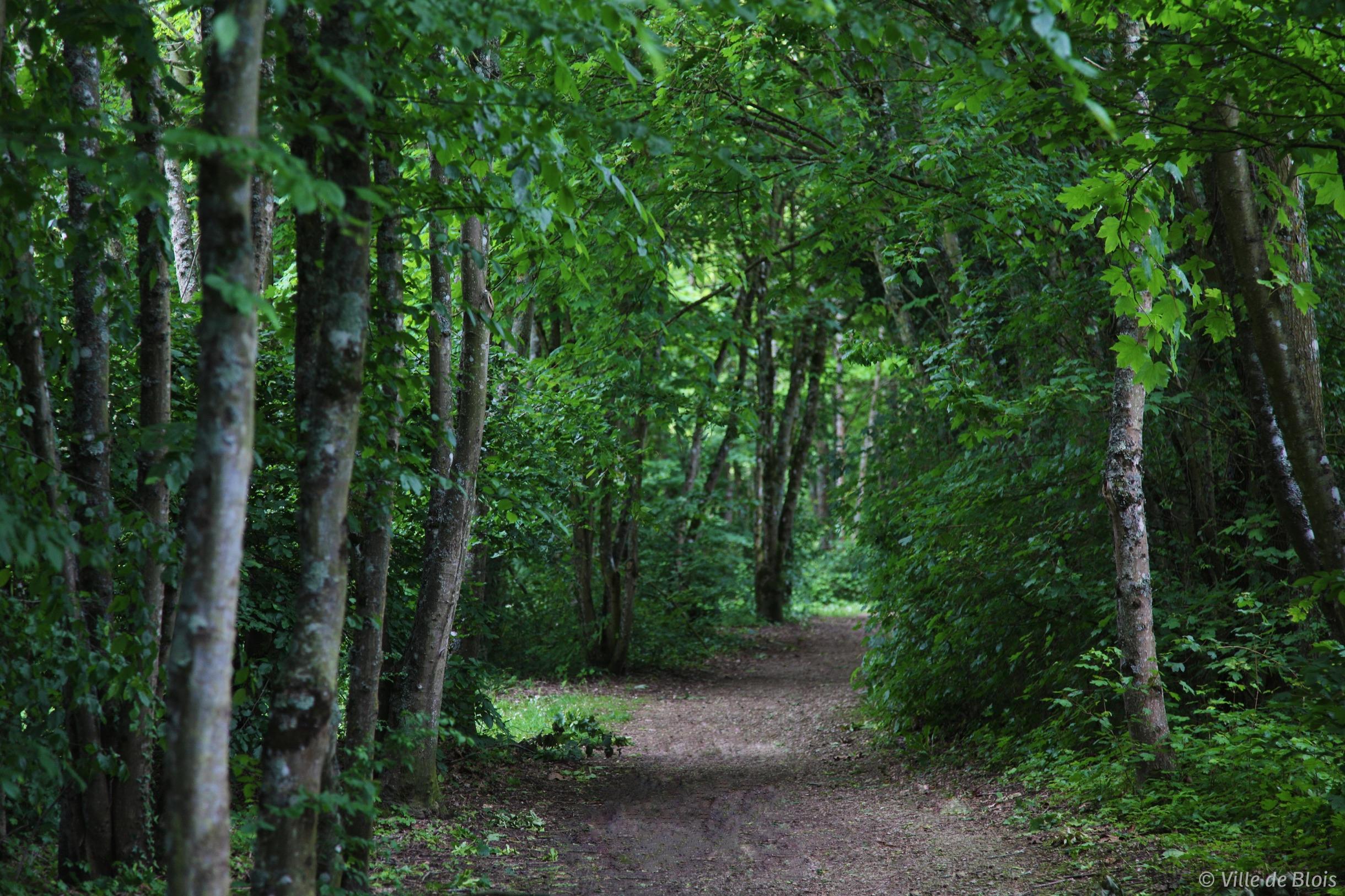
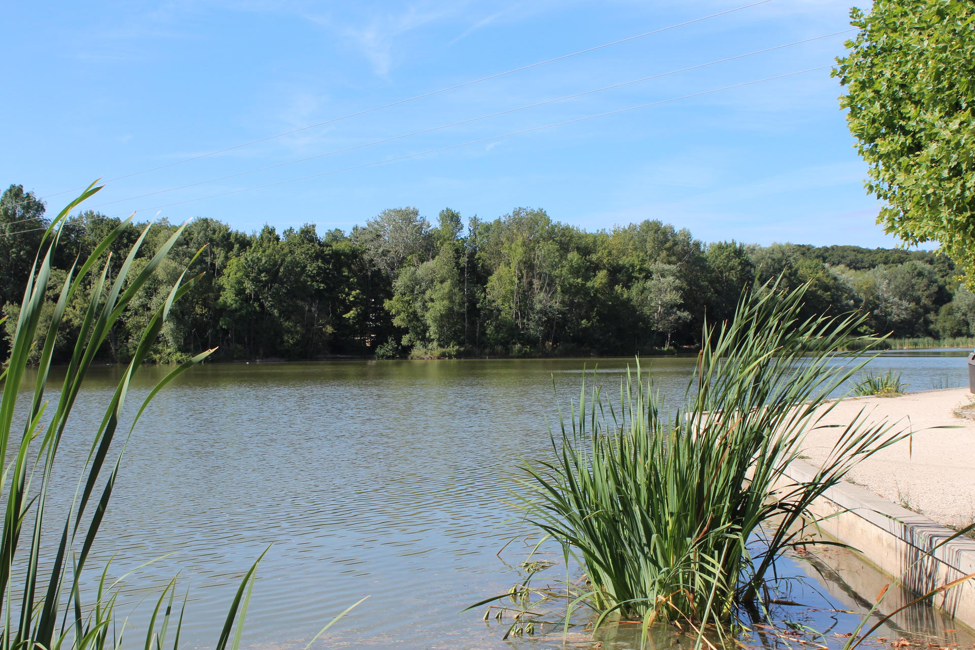
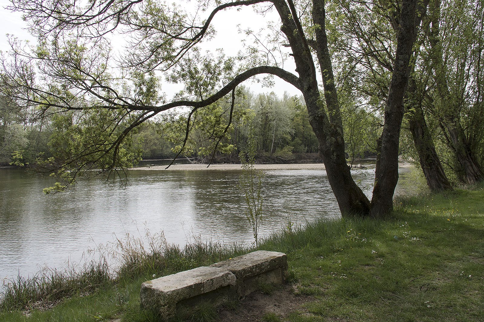
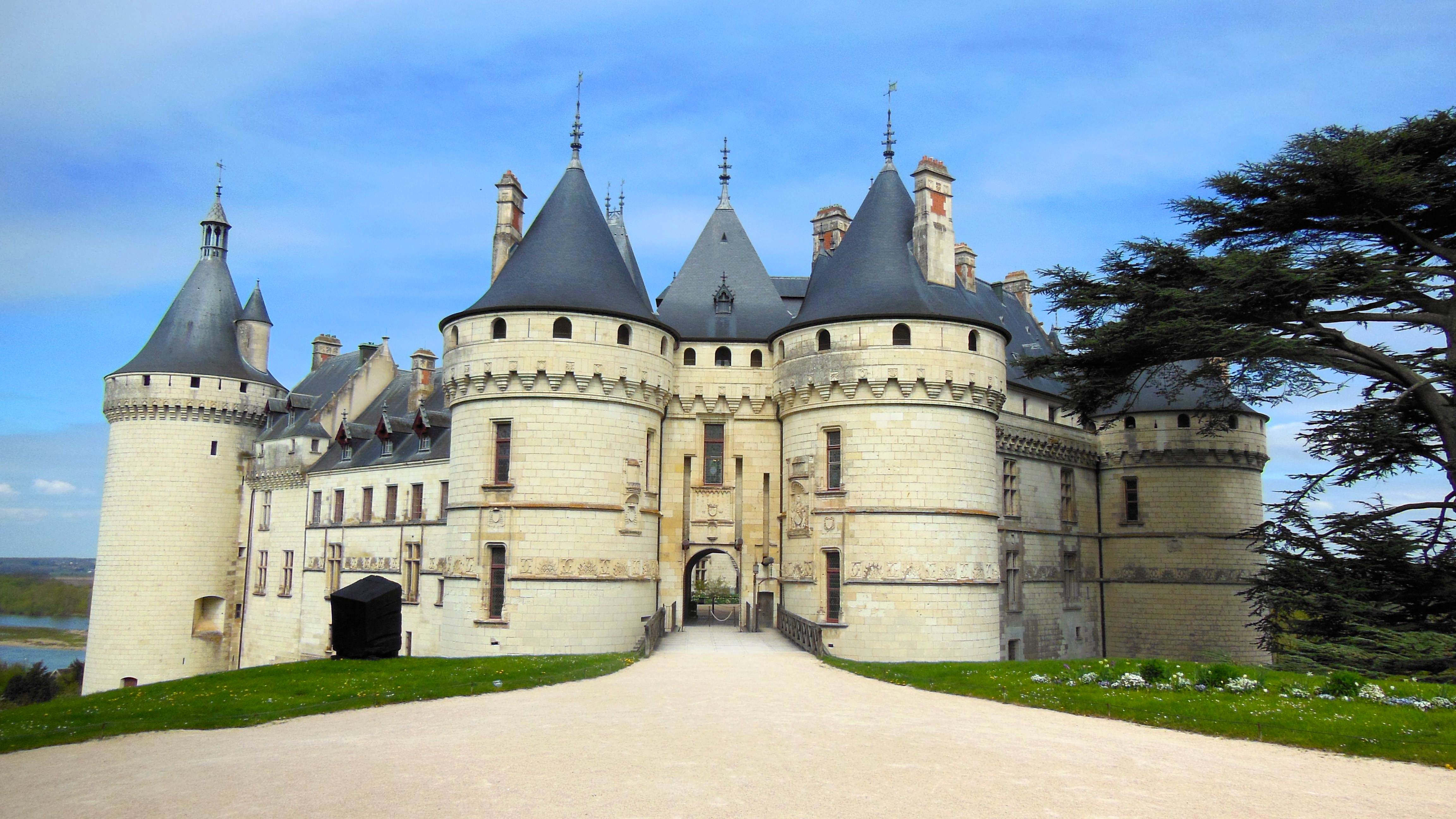
Departing from Chaumont-sur-Loire, this hike takes place on the lands of the Princess of Broglie. The first part of the route is in the middle of wheat fields before rushing into the woods and joining the edge of the Loire. The path then runs along the river until it comes out at the Château de Chaumont-sur-Loire, before returning to the starting point.

Already more than 200,000 users!
Uphill
110m
Highest point
149m
Downhill
110m
Lowest point
64m
Route type
Loop
Download the map on your smartphone to save battery and rest assured to always keep access to the route, even without signal.
Includes IGN France and Swisstopo.
I indicate whether dogs are allowed or prohibited on this trail
All year
2 ratings
Also enjoy:

Already more than 200,000 users!