Uphill
79m

France > Centre-Val de Loire > Loir-et-Cher
Length
10km
Duration
2h30min
Elev gain
79m
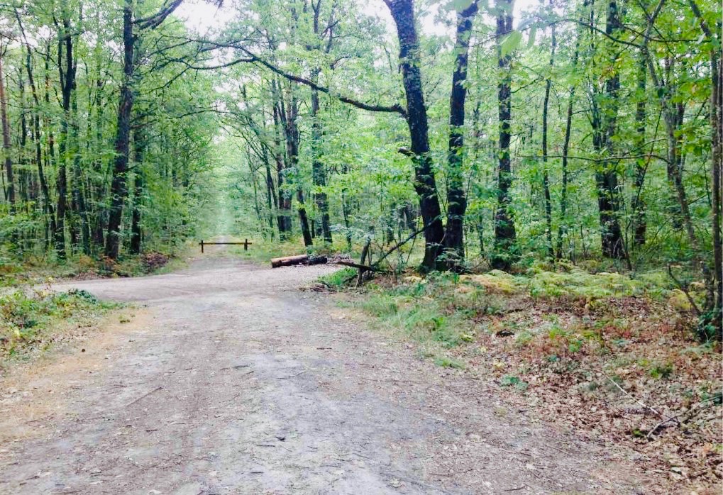
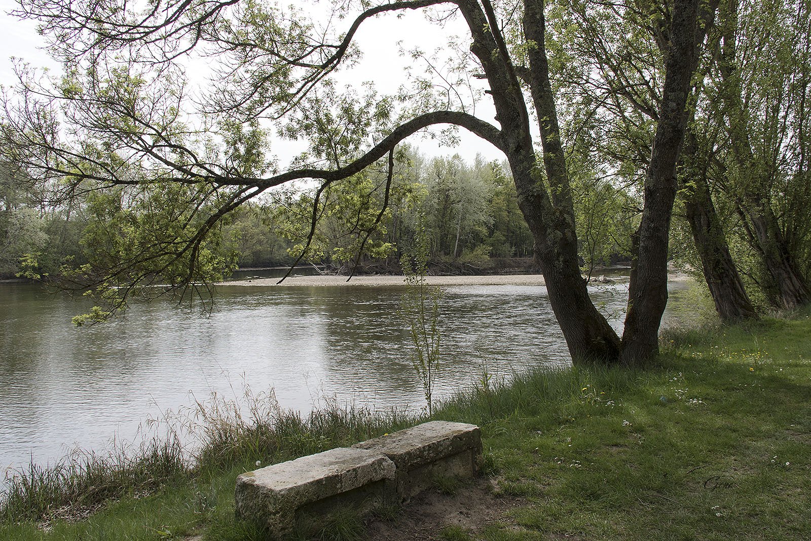
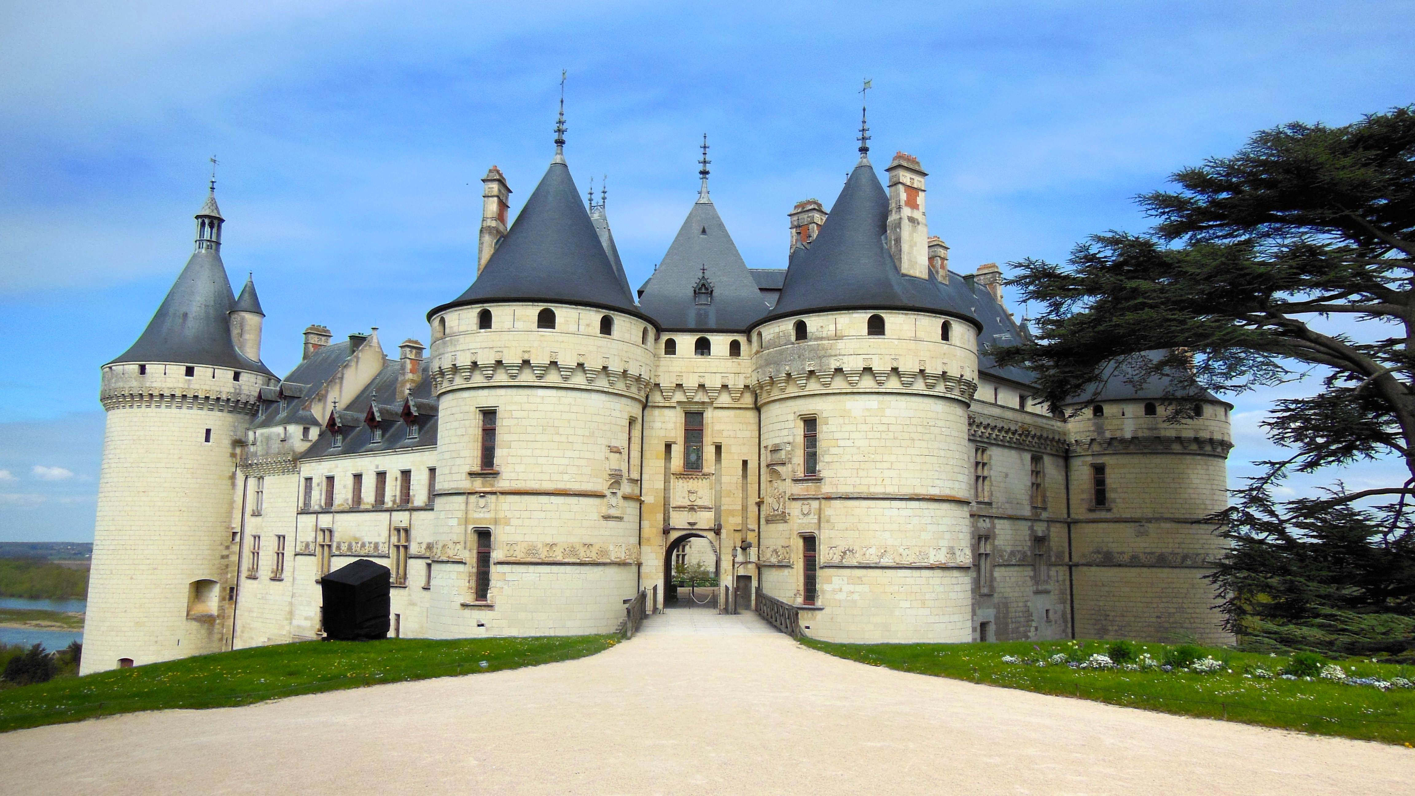
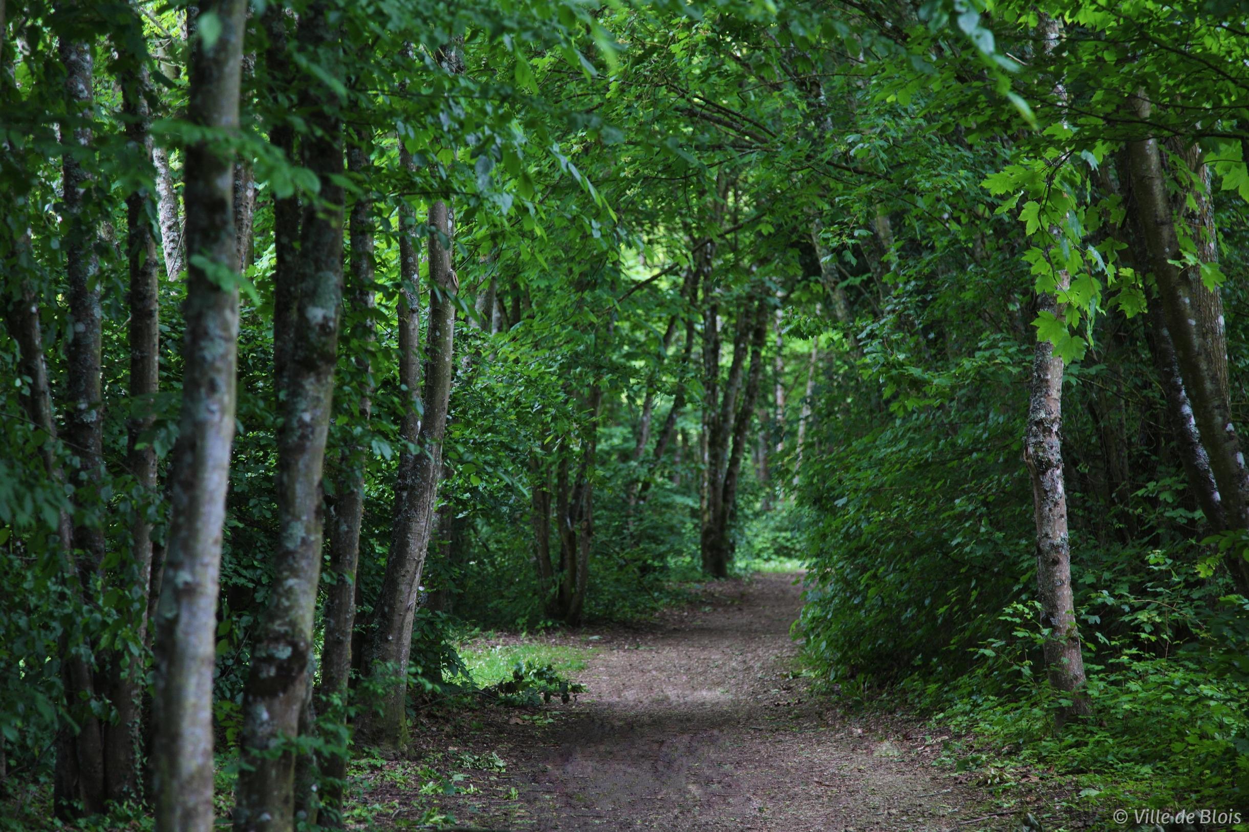
Starting from the parking lot of the nautical base of Montrichard, this path runs along the Cher to Chissay-en-Touraine, where it crosses the river. A walk where the environment is calm and soothing.

Already more than 200,000 users!
Uphill
79m
Highest point
93m
Downhill
79m
Lowest point
52m
Route type
Loop
Download the map on your smartphone to save battery and rest assured to always keep access to the route, even without signal.
Includes IGN France and Swisstopo.
Parking at the start of the hike.
Gare de Montrichard and Chissay-en-Touraine nearby.
I indicate whether dogs are allowed or prohibited on this trail
All year
0 ratings
Also enjoy:

Already more than 200,000 users!