Uphill
63m

Length
7km
Duration
2h
Elev gain
63m
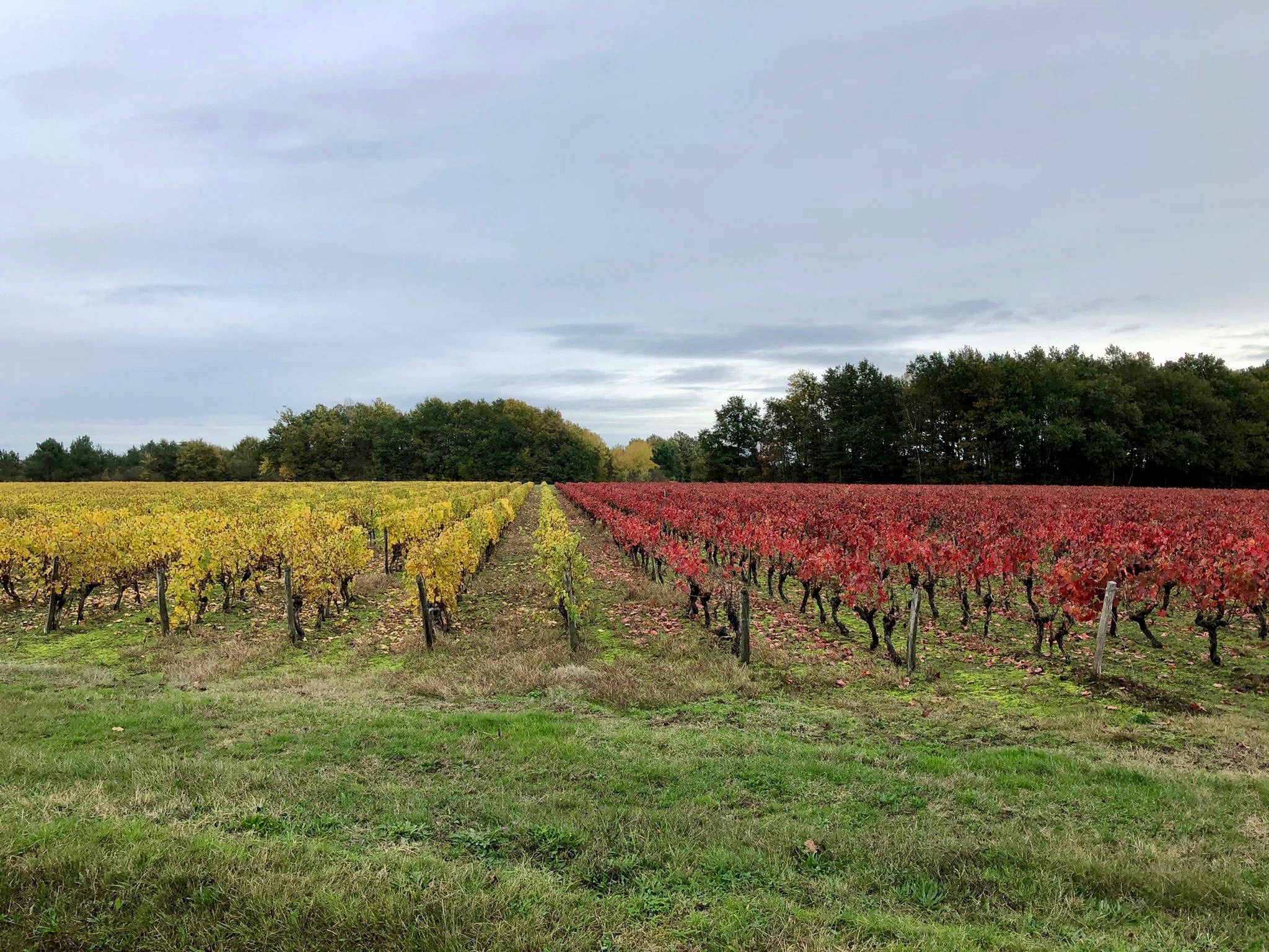
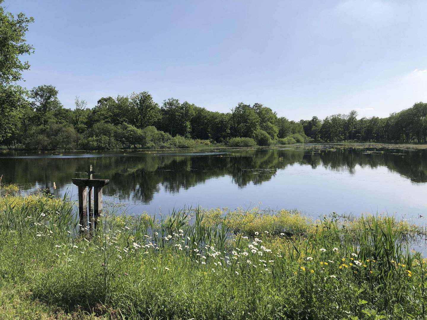
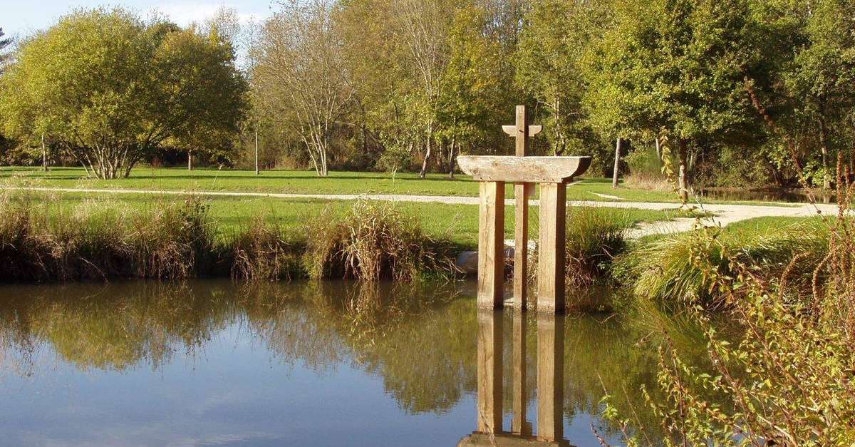
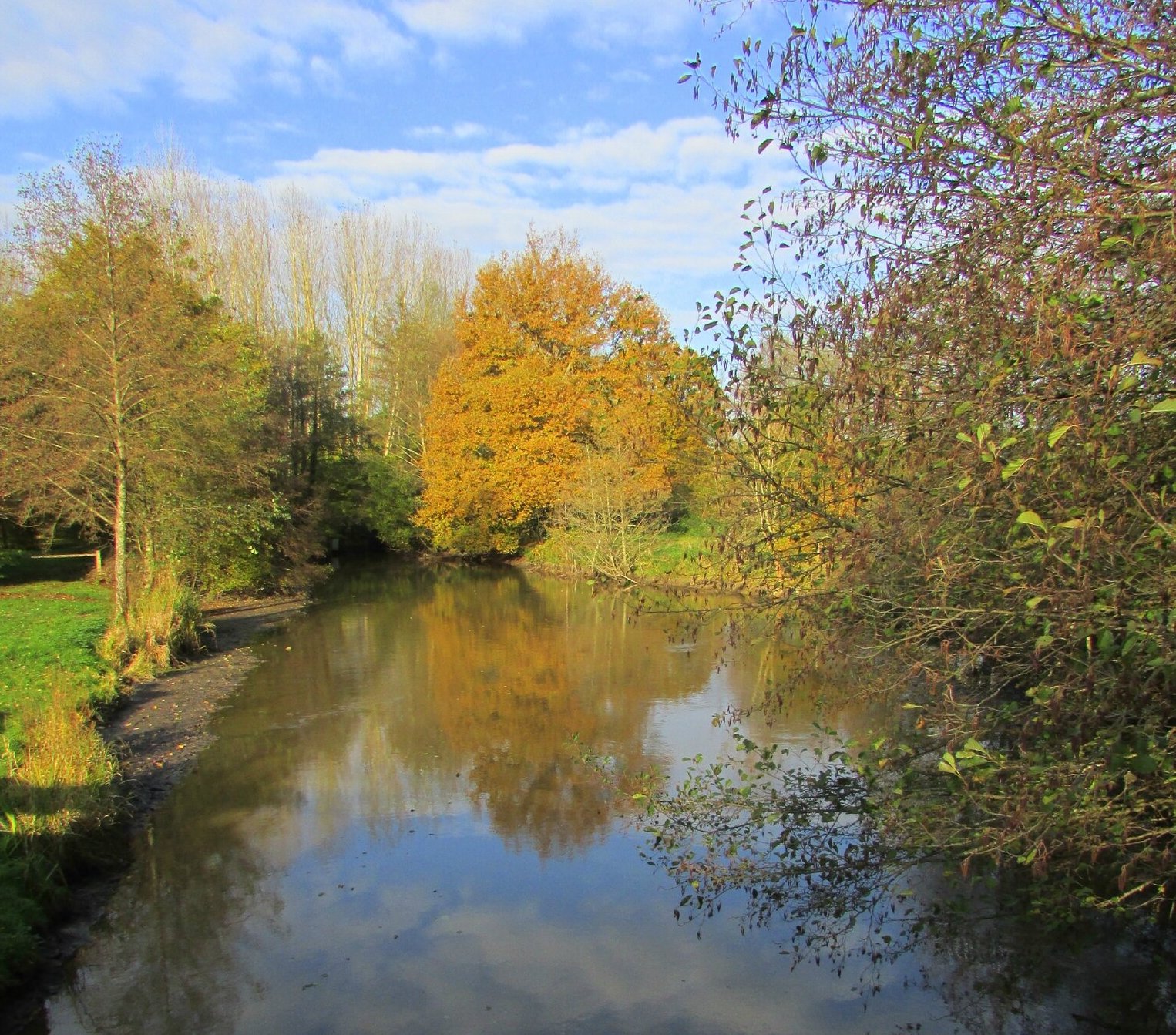
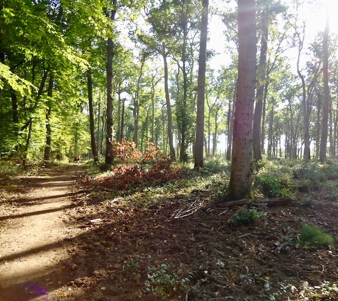
A pleasant hike to discover the ponds of Rougeou in Sologne, between fields and forests.

Already more than 200,000 users!
Uphill
63m
Highest point
126m
Downhill
63m
Lowest point
72m
Route type
Loop
Download the map on your smartphone to save battery and rest assured to always keep access to the route, even without signal.
Includes IGN France and Swisstopo.
I indicate whether dogs are allowed or prohibited on this trail
All year
1 rating
Also enjoy:

Already more than 200,000 users!