Uphill
48m
Length
9km
Duration
2h30min
Elev gain
48m
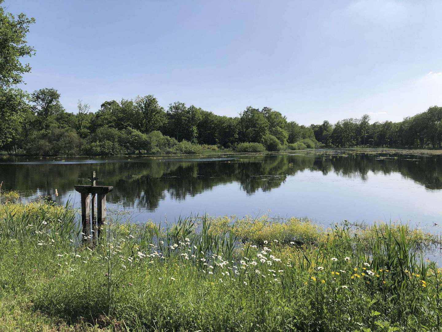
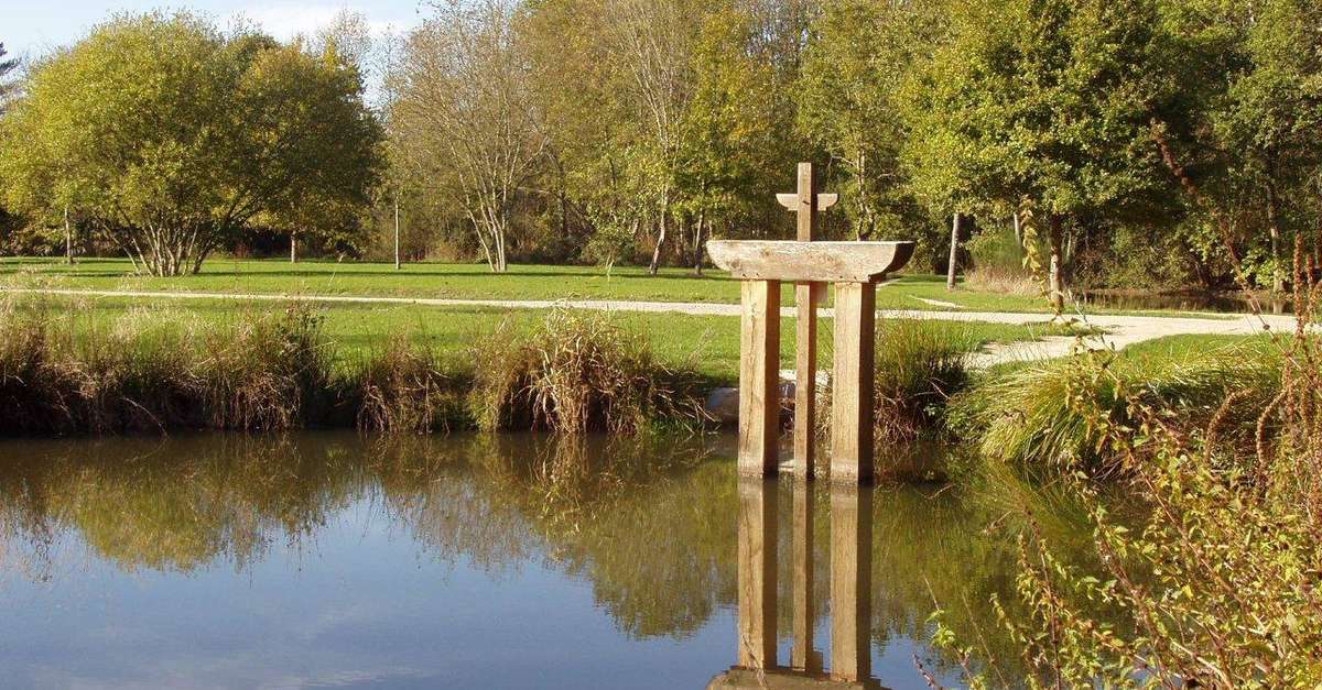
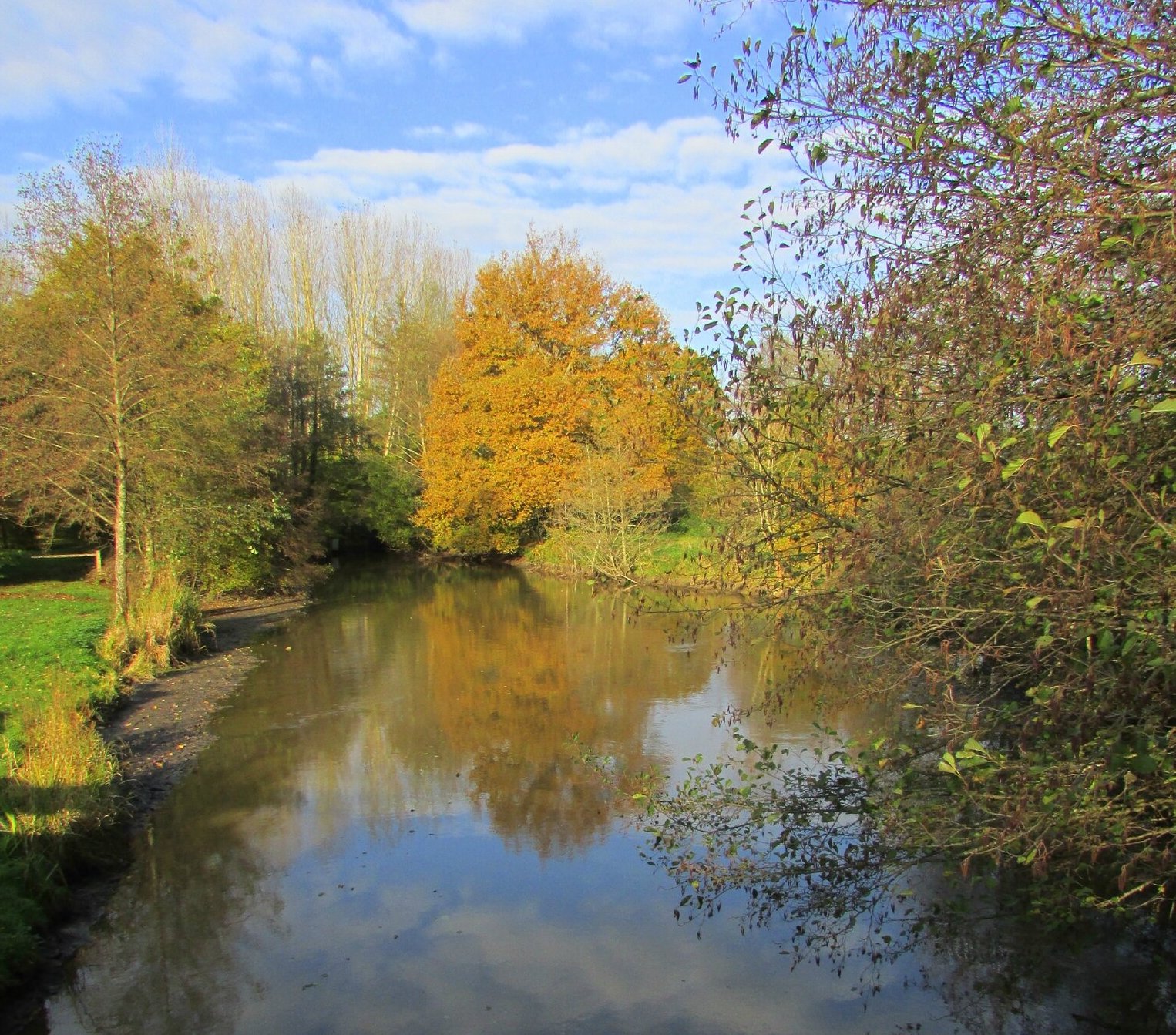
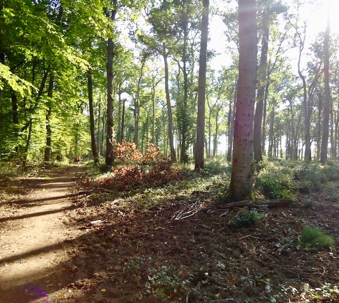
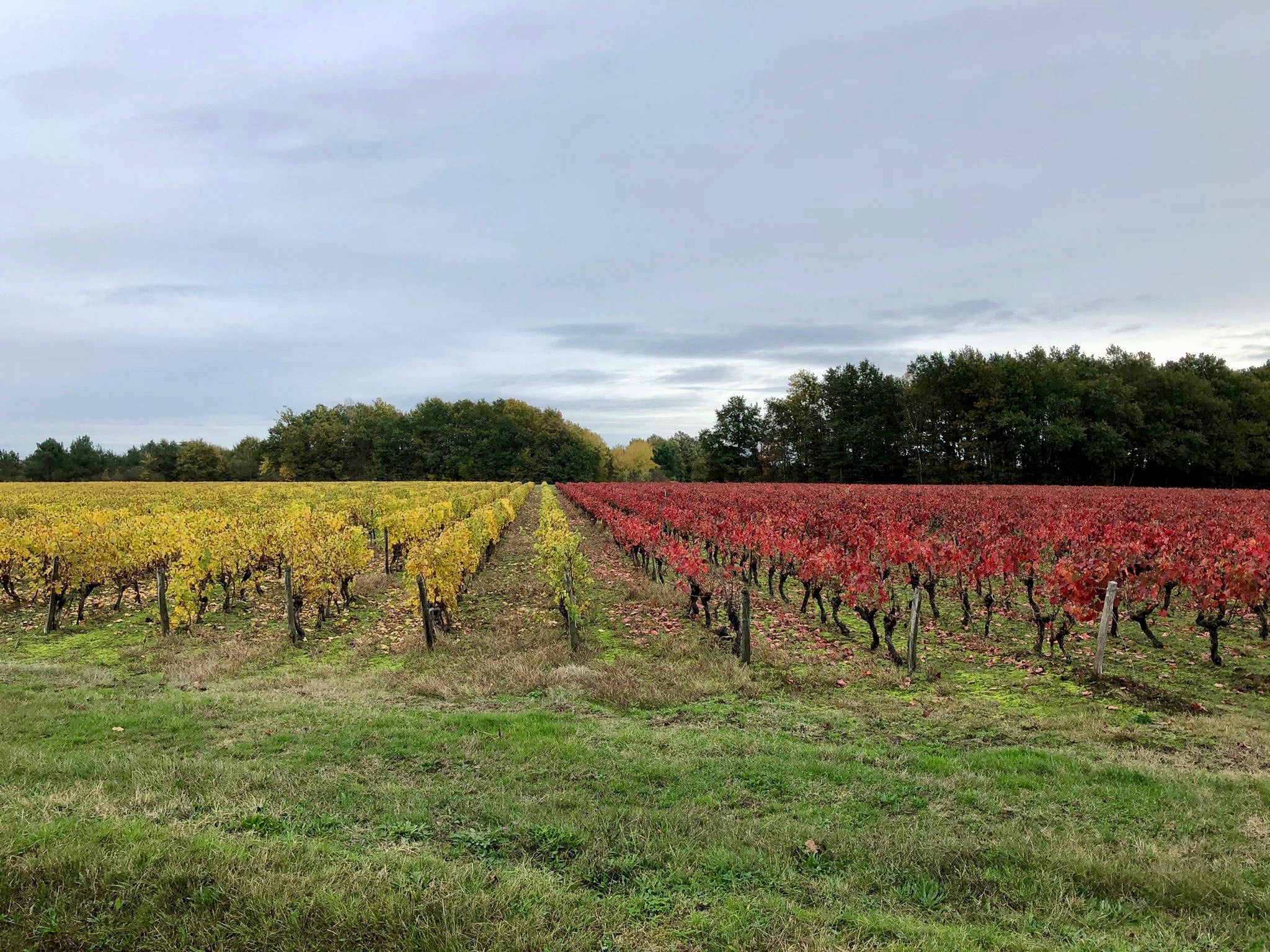
Starting from the Etang des Meuniers, this walk makes a nice loop around the town of Rougeou. The route follows paths along the vines and offers superb views of them.

Already more than 200,000 users!
Uphill
48m
Highest point
124m
Downhill
48m
Lowest point
90m
Route type
Loop
Download the map on your smartphone to save battery and rest assured to always keep access to the route, even without signal.
Includes IGN France and Swisstopo.
I indicate whether dogs are allowed or prohibited on this trail
All year
0 ratings
Also enjoy:

Already more than 200,000 users!