Uphill
21m
Length
5km
Duration
1h30min
Elev gain
21m
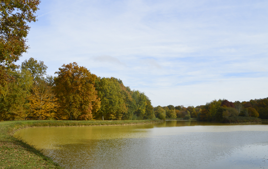
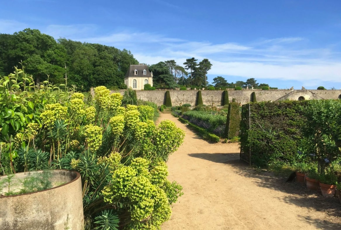
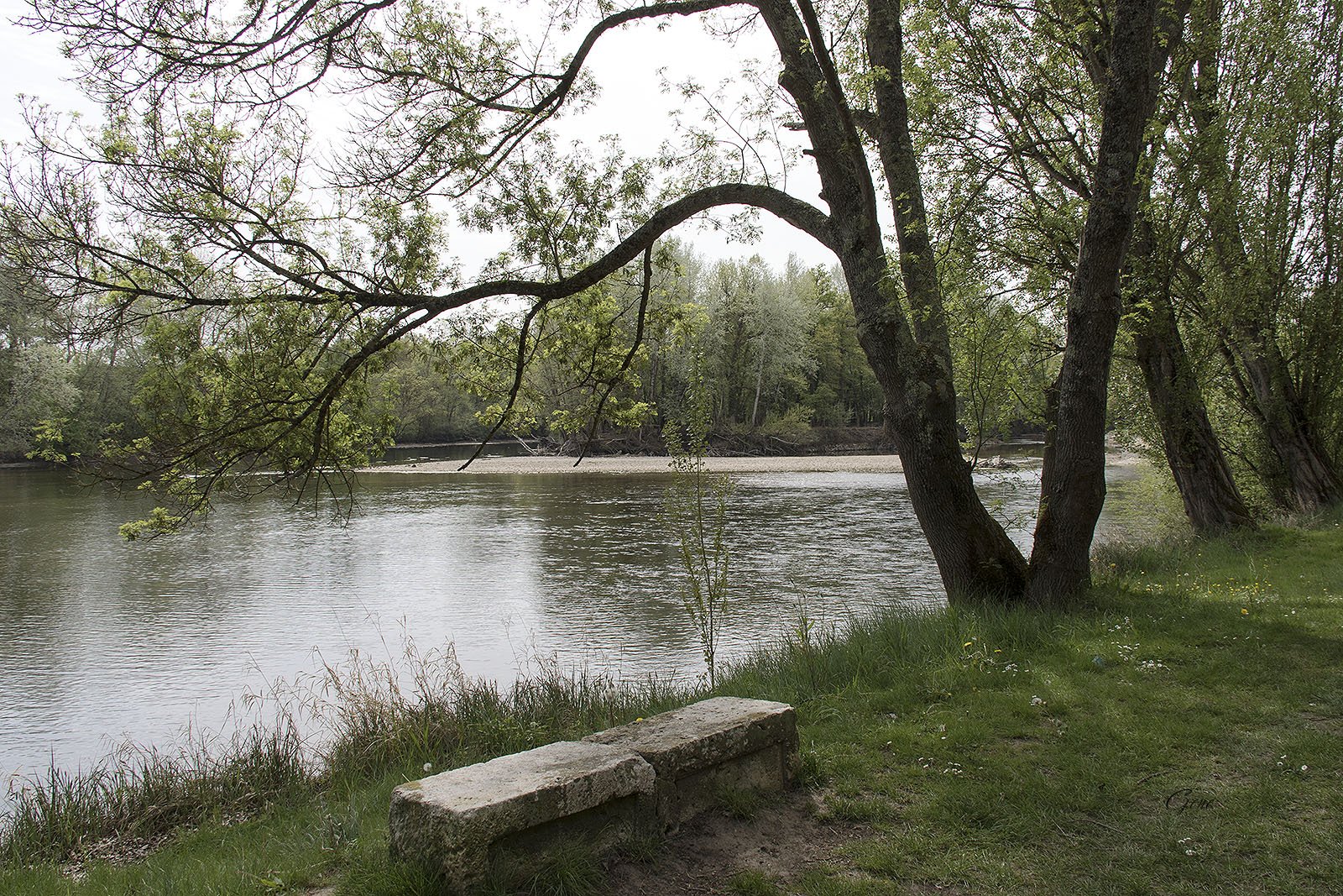
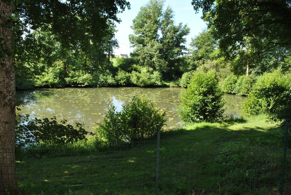
Pretty walk in the heart of the Amboise forest, with a passage near the Battereau stream. The start of the course is located near the Château de Chanteloup.

Already more than 200,000 users!
Uphill
21m
Highest point
129m
Downhill
21m
Lowest point
102m
Route type
Loop
Download the map on your smartphone to save battery and rest assured to always keep access to the route, even without signal.
Includes IGN France and Swisstopo.
I indicate whether dogs are allowed or prohibited on this trail
All year
3 ratings
Trop de chemins fermés propriete privée
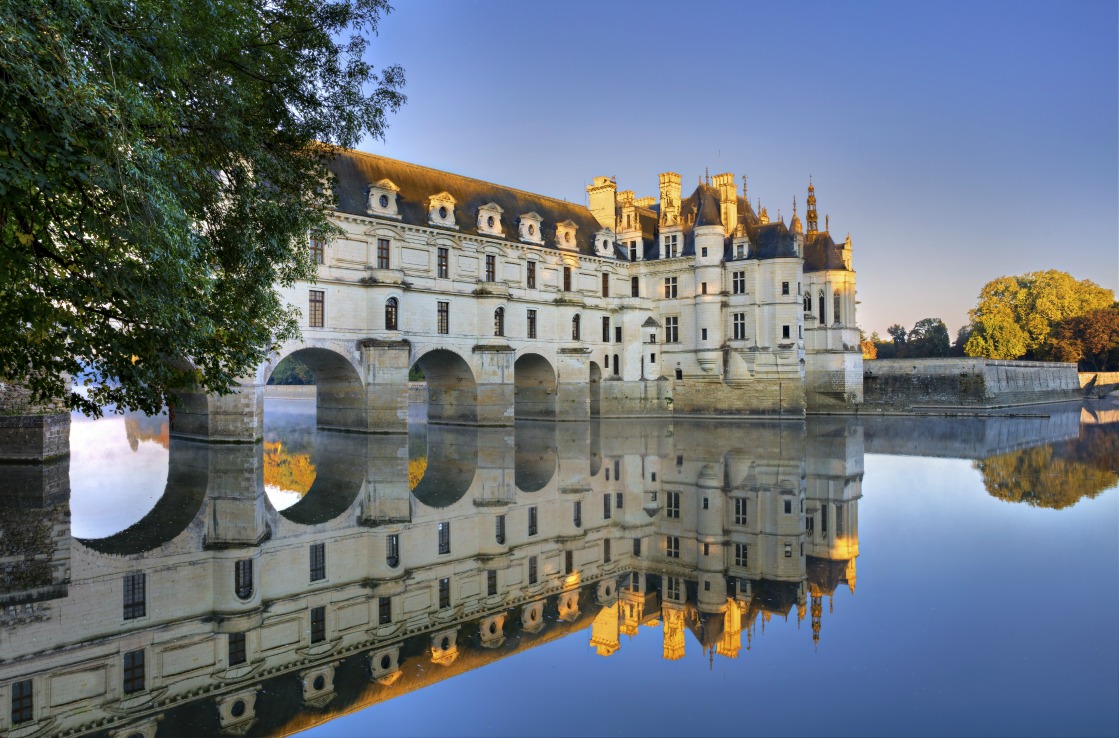
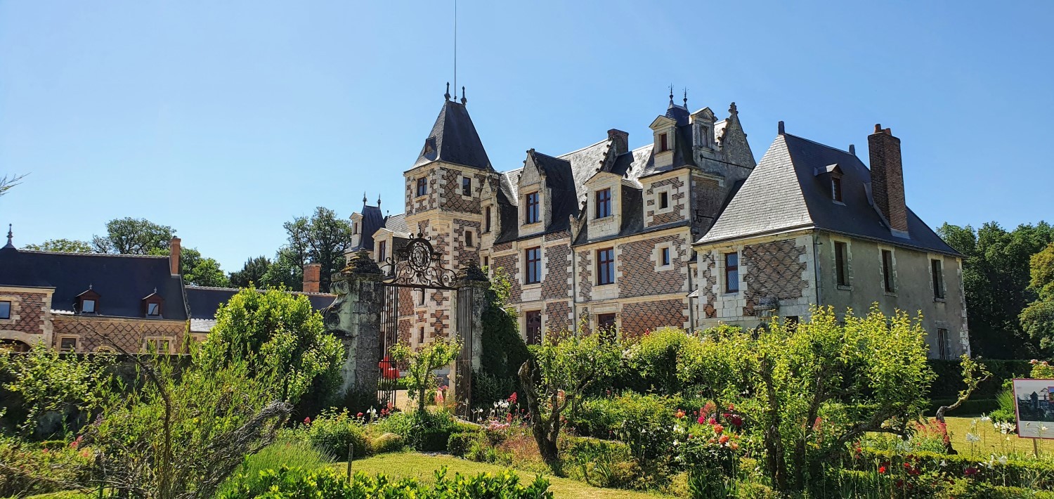
Also enjoy:

Already more than 200,000 users!