Uphill
176m
Length
10km
Duration
3h
Elev gain
176m
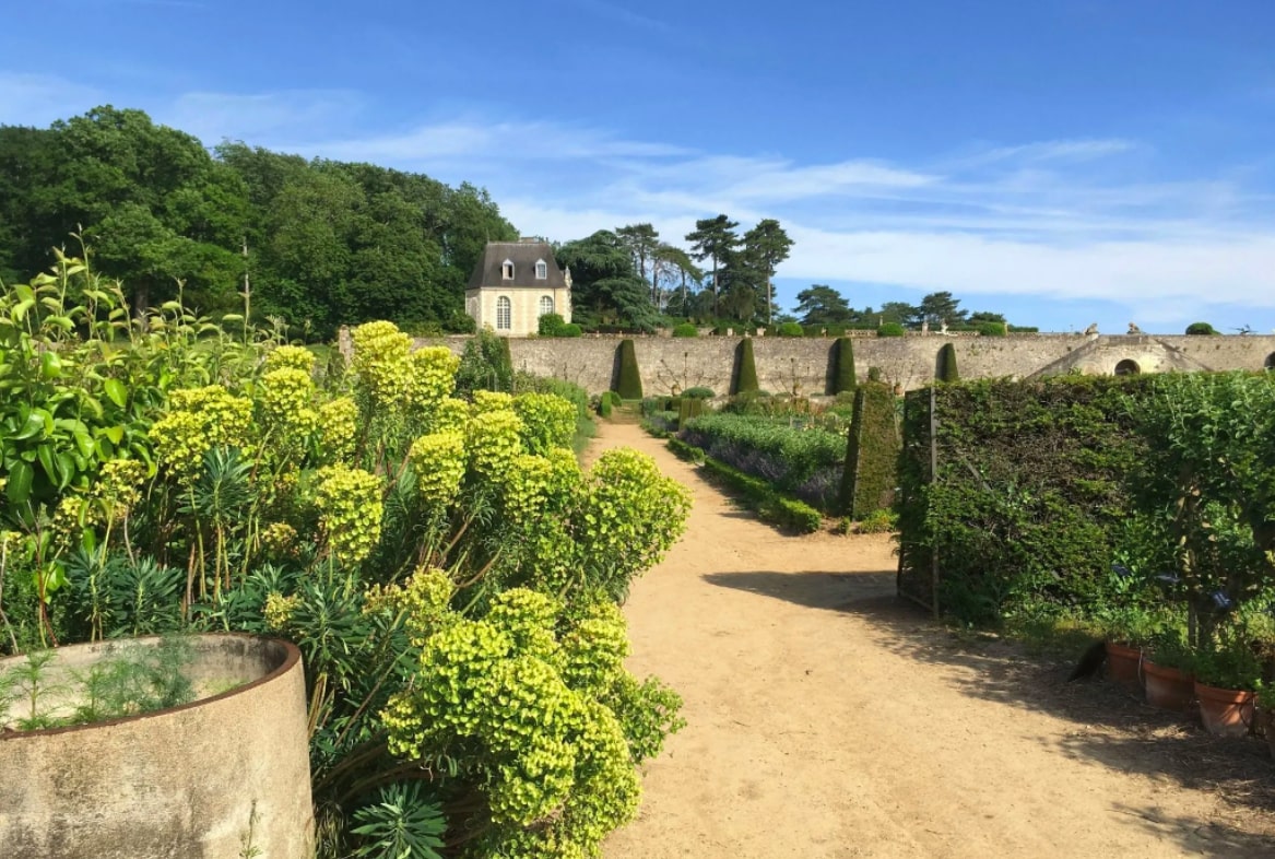
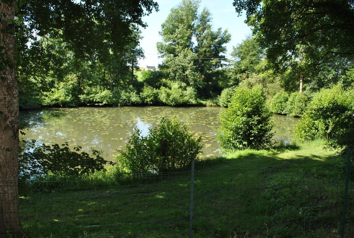
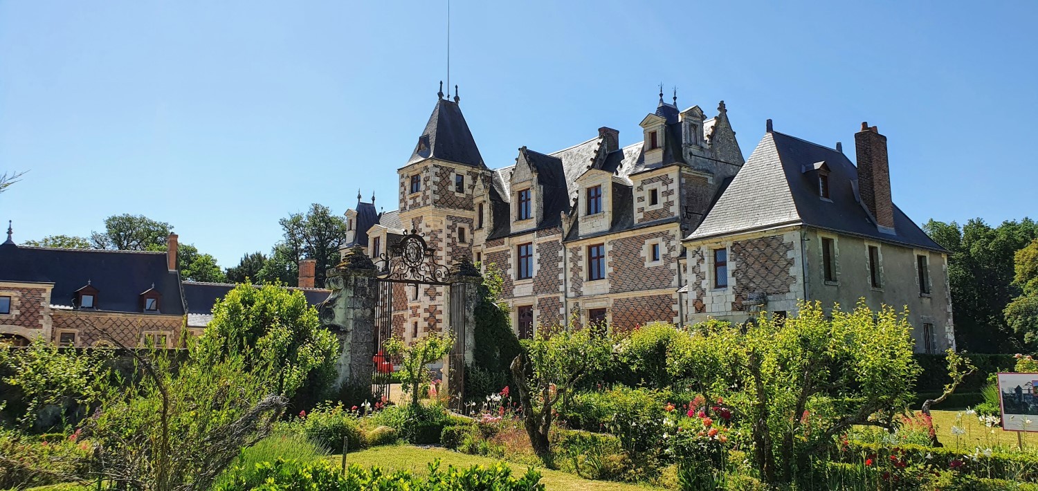
Departing from Vaugondy, this route makes a loop in the middle of the vineyards, alternating between dirt roads and small roads. On the second part of the route, the path passes very close to the castle of Jallanges.

Already more than 200,000 users!
Uphill
176m
Highest point
123m
Downhill
176m
Lowest point
61m
Route type
Loop
Download the map on your smartphone to save battery and rest assured to always keep access to the route, even without signal.
Includes IGN France and Swisstopo.
I indicate whether dogs are allowed or prohibited on this trail
All year
0 ratings
Also enjoy:

Already more than 200,000 users!