Uphill
26m
Length
5km
Duration
1h
Elev gain
26m
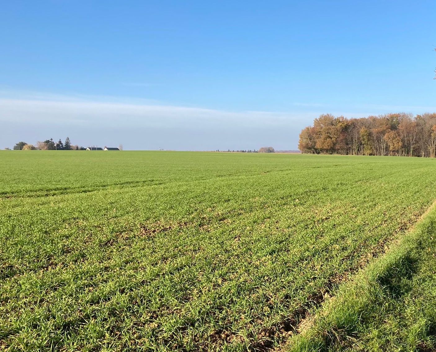
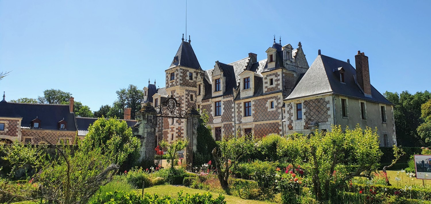
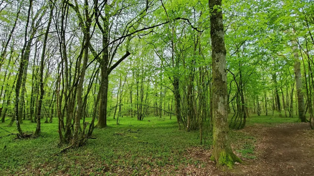
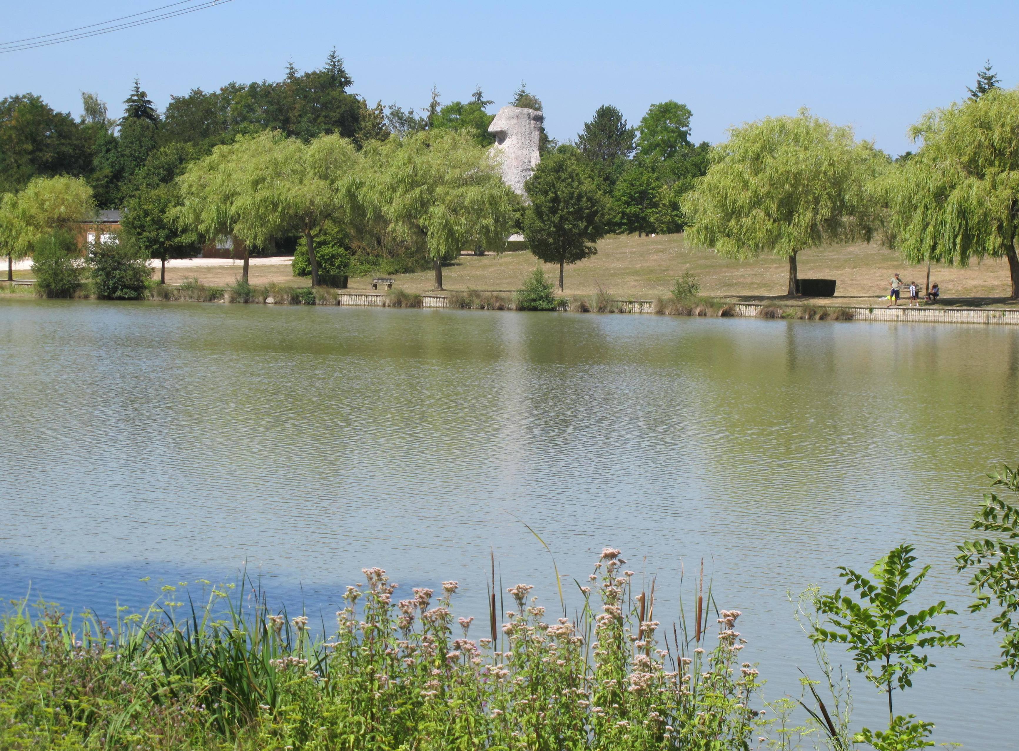
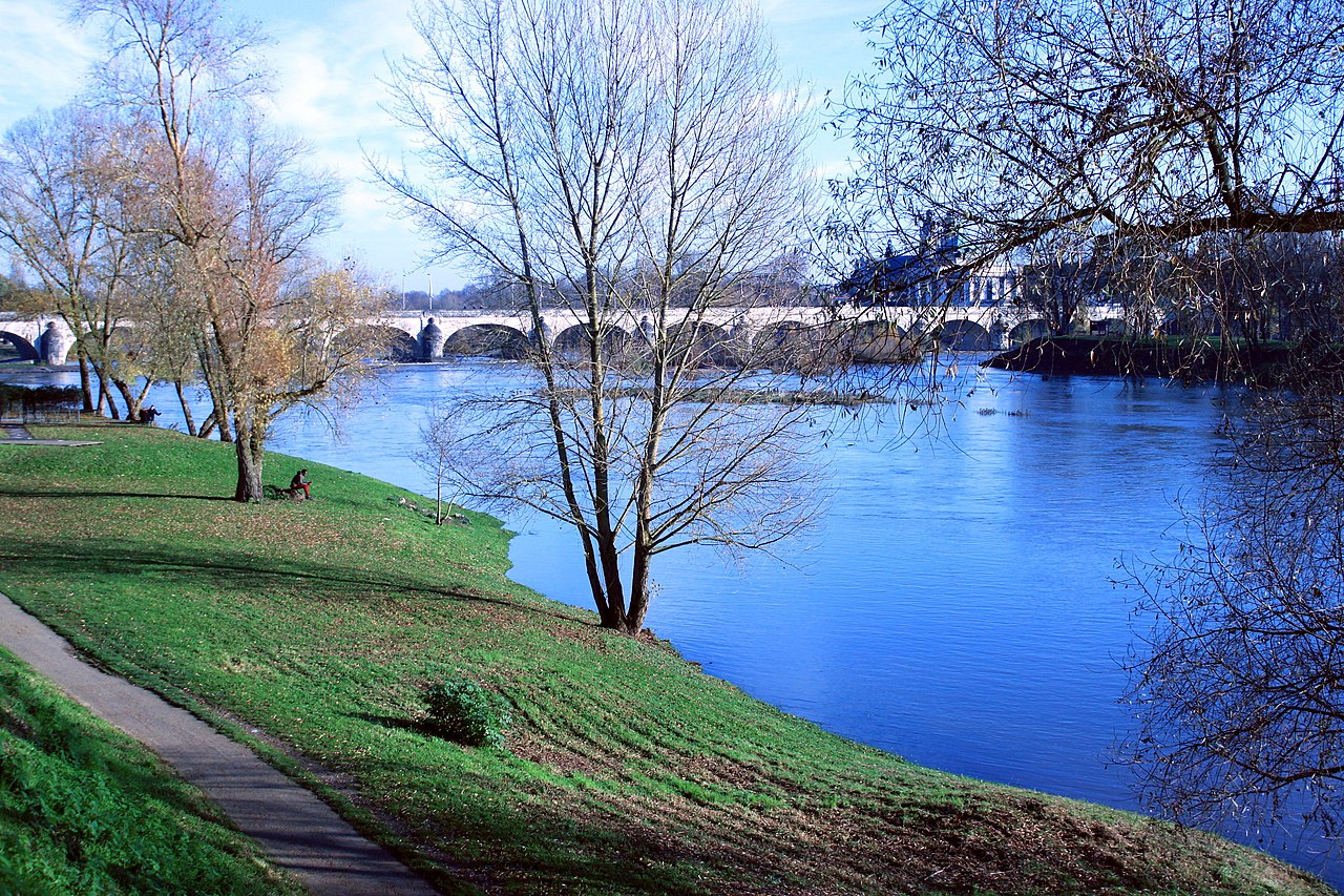
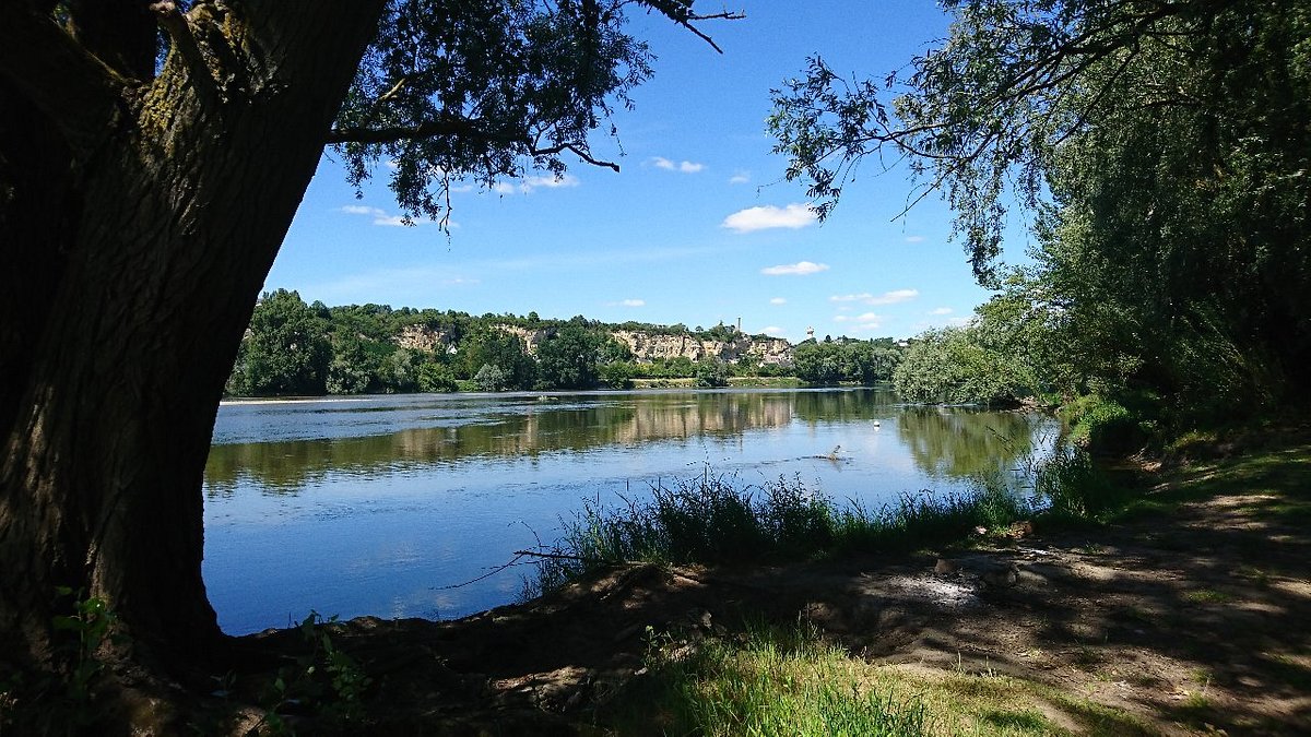
Nice walk in the natural area of the island of Métairie, on the banks of the Loire. The route makes a loop in the undergrowth and offers some pretty views of the river. Short, accessible and friendly: here is how to sum up this little family outing.

Already more than 200,000 users!
Uphill
26m
Highest point
68m
Downhill
26m
Lowest point
48m
Route type
Loop
Download the map on your smartphone to save battery and rest assured to always keep access to the route, even without signal.
Includes IGN France and Swisstopo.
I indicate whether dogs are allowed or prohibited on this trail
All year
1 rating
Also enjoy:

Already more than 200,000 users!