Uphill
14m
Length
2km
Duration
30min
Elev gain
14m
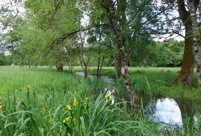
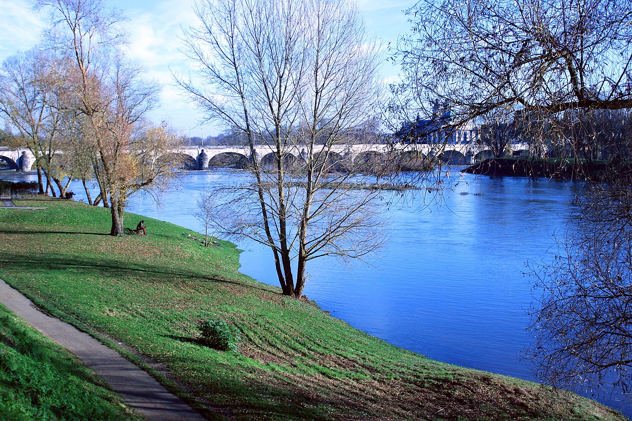
Here is a walk on a small island located on the Loire, opposite the faculty of letters of Tours. The course goes around the island, in the middle of pretty trees: plane trees, magnolias, chestnut trees, acacias. Many facilities such as children's games, a skate park and picnic tables have been set up in this little corner of paradise, a stone's throw from the city center.

Already more than 200,000 users!
Uphill
14m
Highest point
67m
Downhill
14m
Lowest point
44m
Route type
Loop
Download the map on your smartphone to save battery and rest assured to always keep access to the route, even without signal.
Includes IGN France and Swisstopo.
I indicate whether dogs are allowed or prohibited on this trail
All year
0 ratings
Also enjoy:

Already more than 200,000 users!