Uphill
31m
Length
2km
Duration
30min
Elev gain
31m
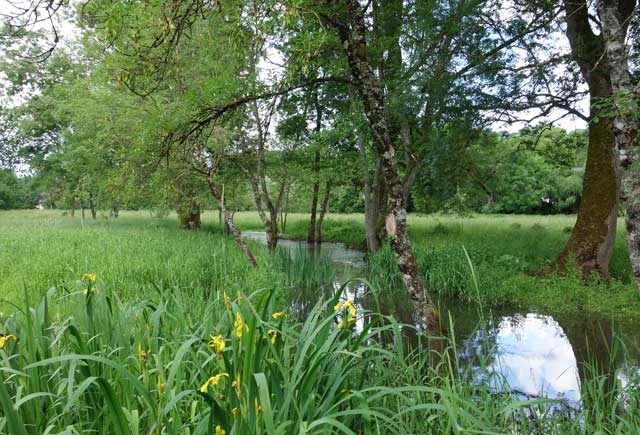
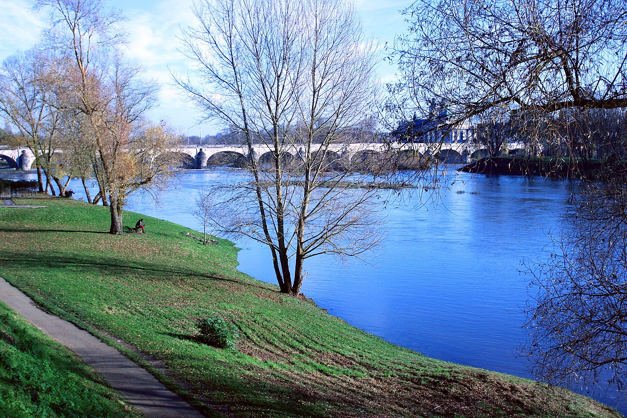
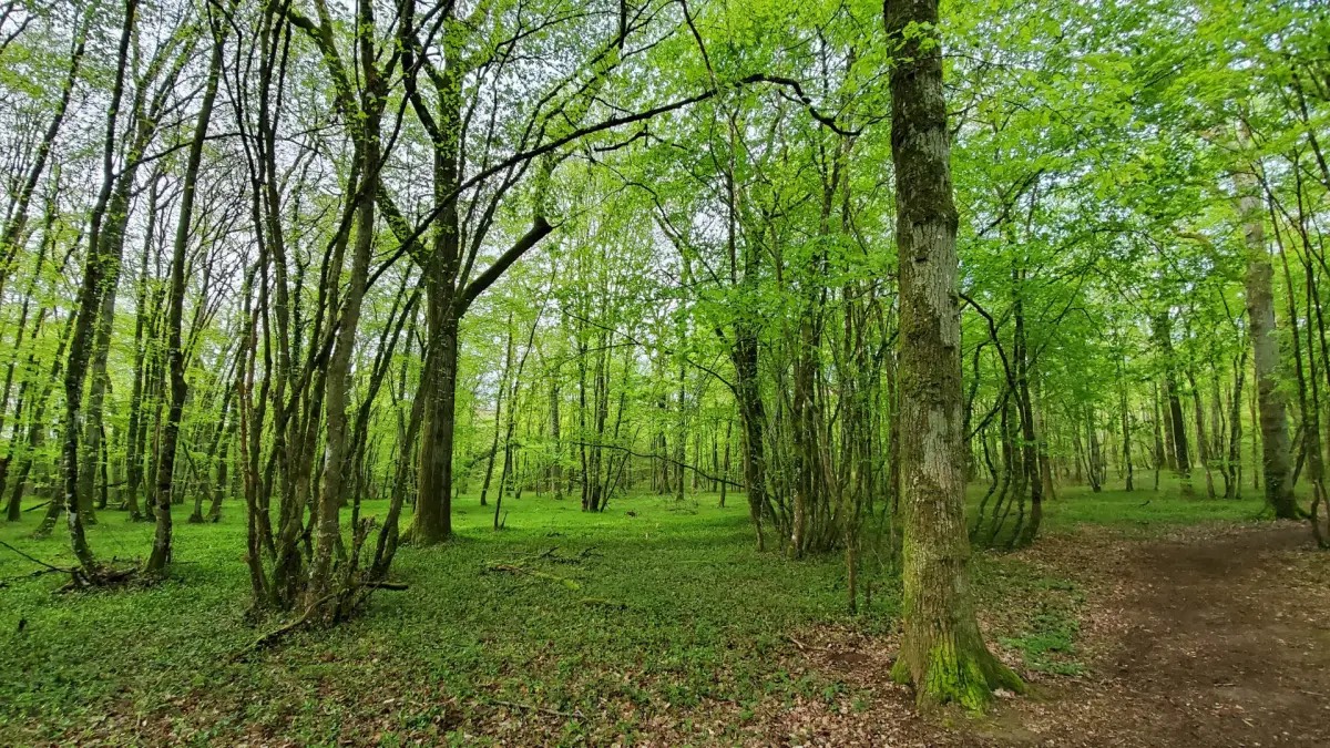
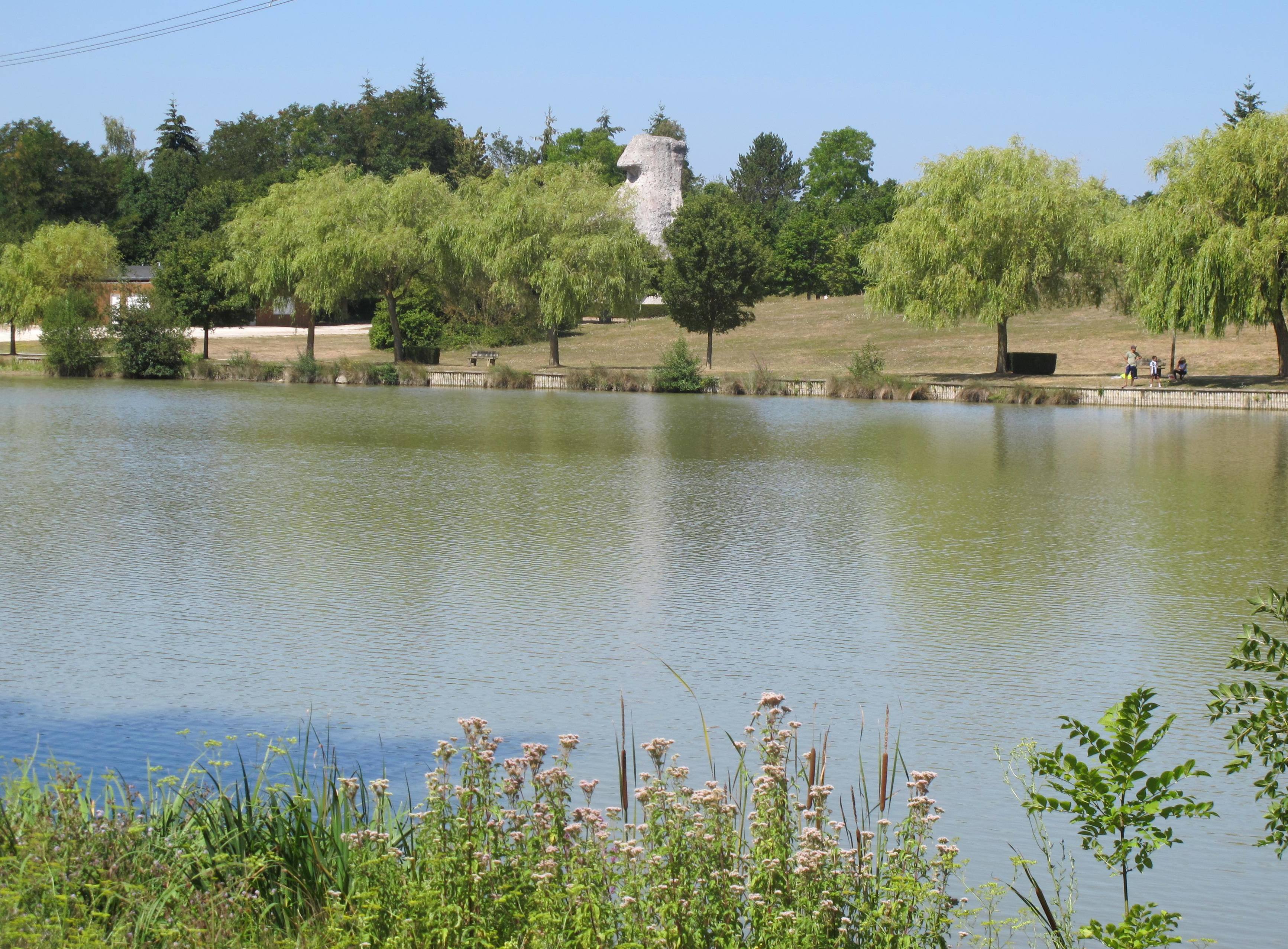
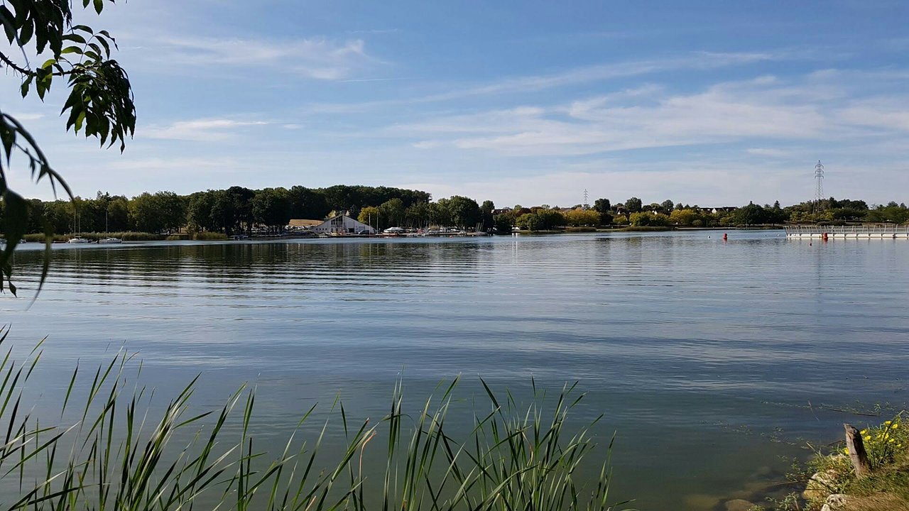
Located in Joué-lès-Tours, this route goes around the pretty Lac des Bretonnières, surrounded by meadows, undergrowth and residential areas.

Already more than 200,000 users!
Uphill
31m
Highest point
94m
Downhill
31m
Lowest point
58m
Route type
Loop
Download the map on your smartphone to save battery and rest assured to always keep access to the route, even without signal.
Includes IGN France and Swisstopo.
I indicate whether dogs are allowed or prohibited on this trail
All year
0 ratings
Also enjoy:

Already more than 200,000 users!