Uphill
122m
Length
11km
Duration
3h
Elev gain
122m
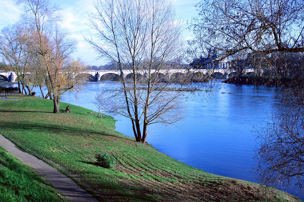
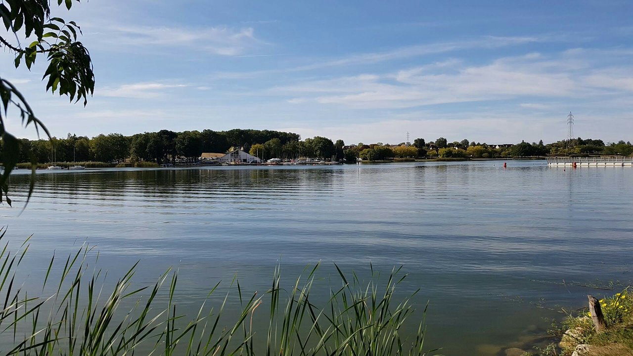
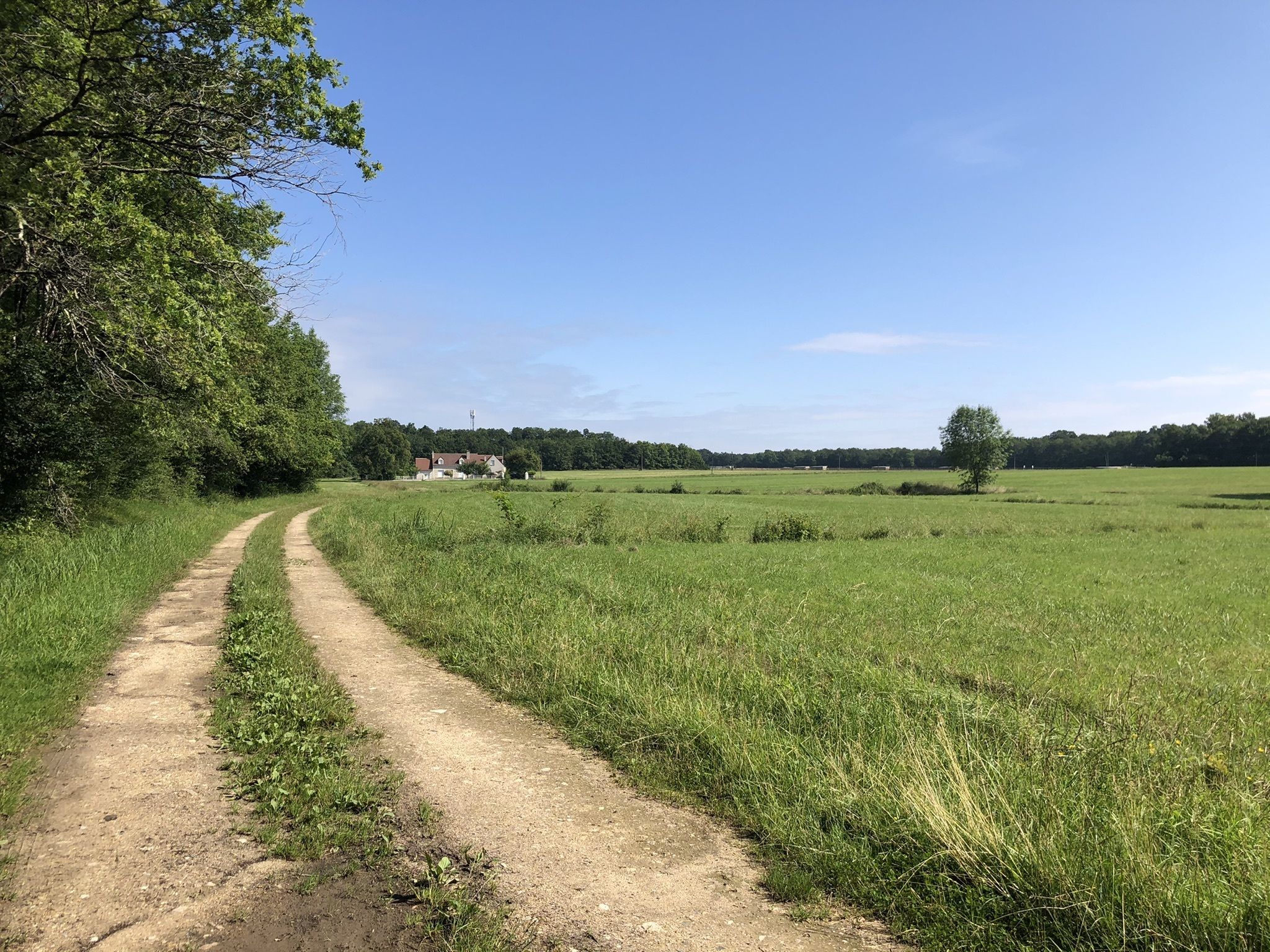
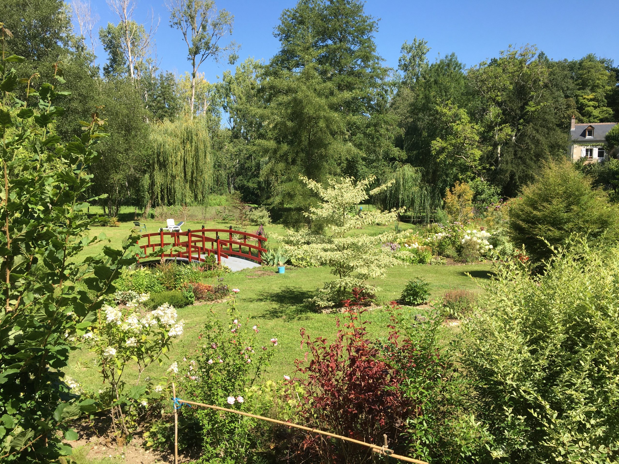
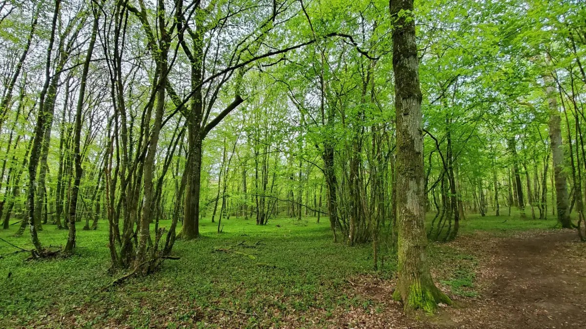
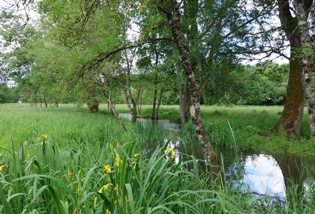
Here is a nice walk near the town of Saint-Cyr-sur-Loire. This route runs along the river and is in the heart of an interesting fauna and flora. In summary, a walk in the heart of nature very close to the city, the route of which remains nevertheless noisy, because of its proximity to the ring road.

Already more than 200,000 users!
Uphill
122m
Highest point
86m
Downhill
122m
Lowest point
35m
Route type
Loop
Download the map on your smartphone to save battery and rest assured to always keep access to the route, even without signal.
Includes IGN France and Swisstopo.
I indicate whether dogs are allowed or prohibited on this trail
All year
1 rating
Also enjoy:

Already more than 200,000 users!