Uphill
123m
Length
7km
Duration
2h
Elev gain
123m
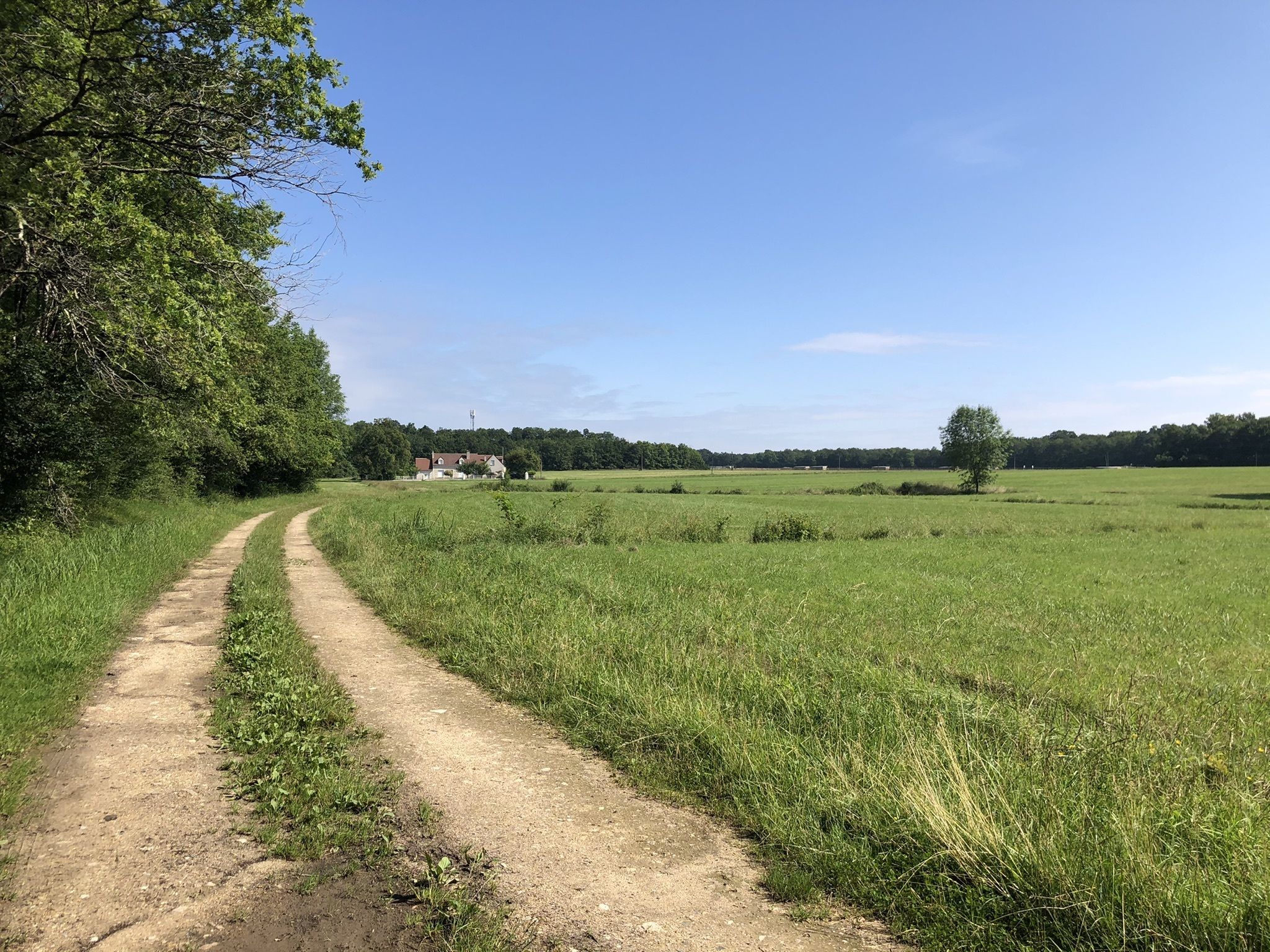
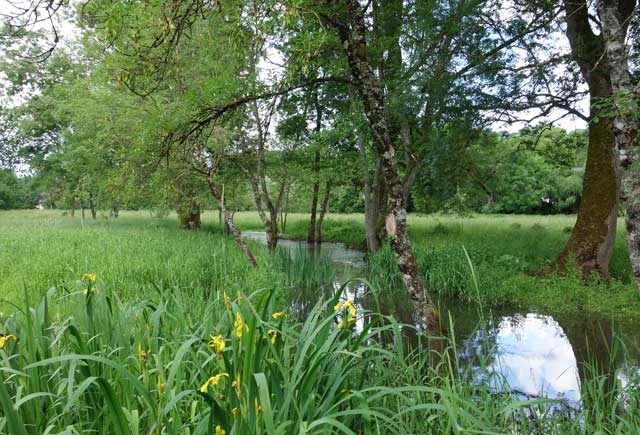
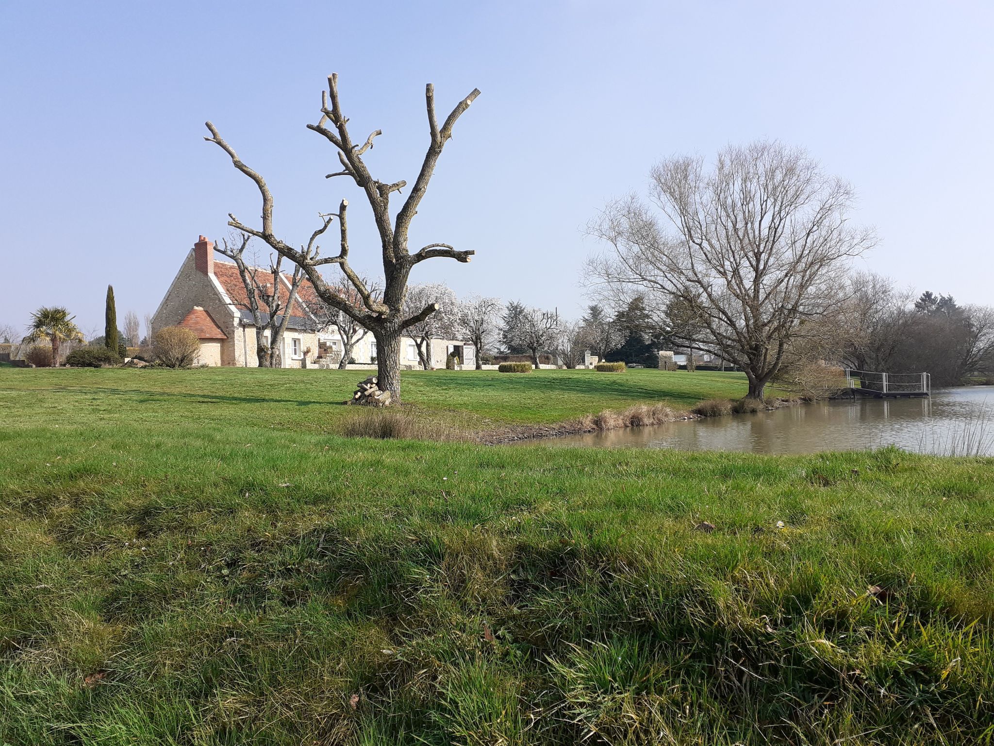
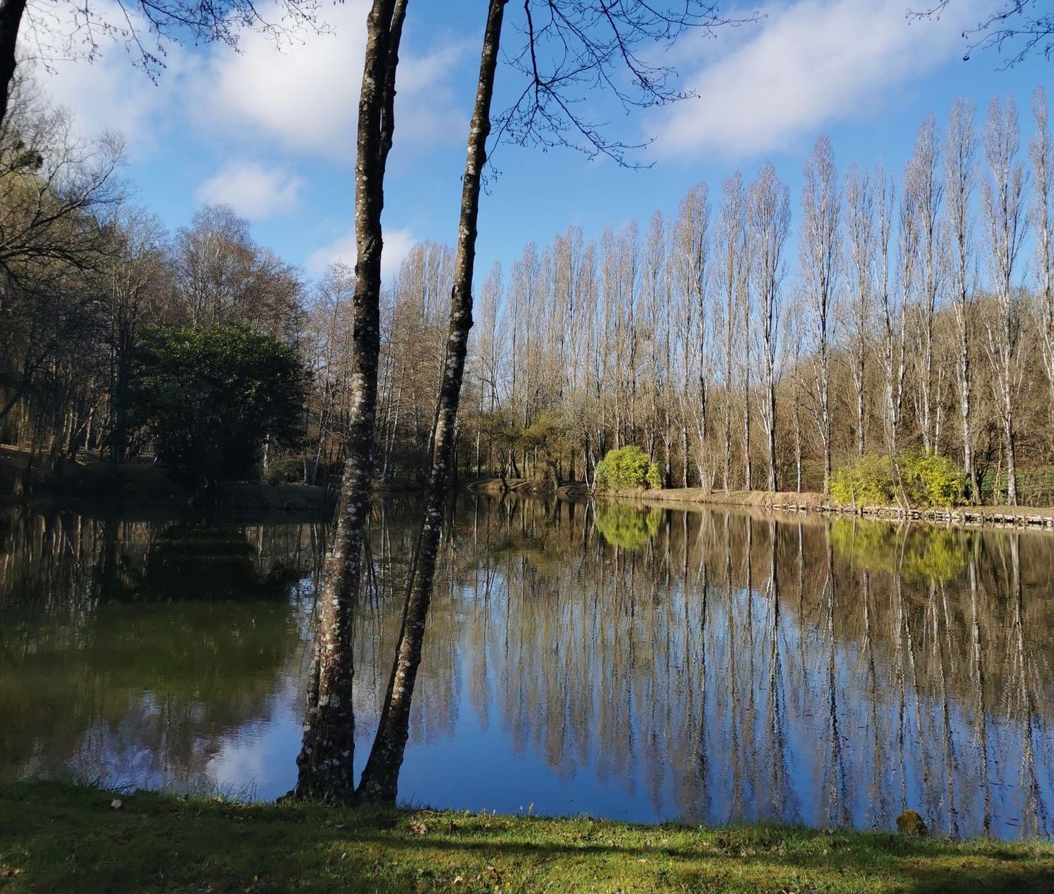
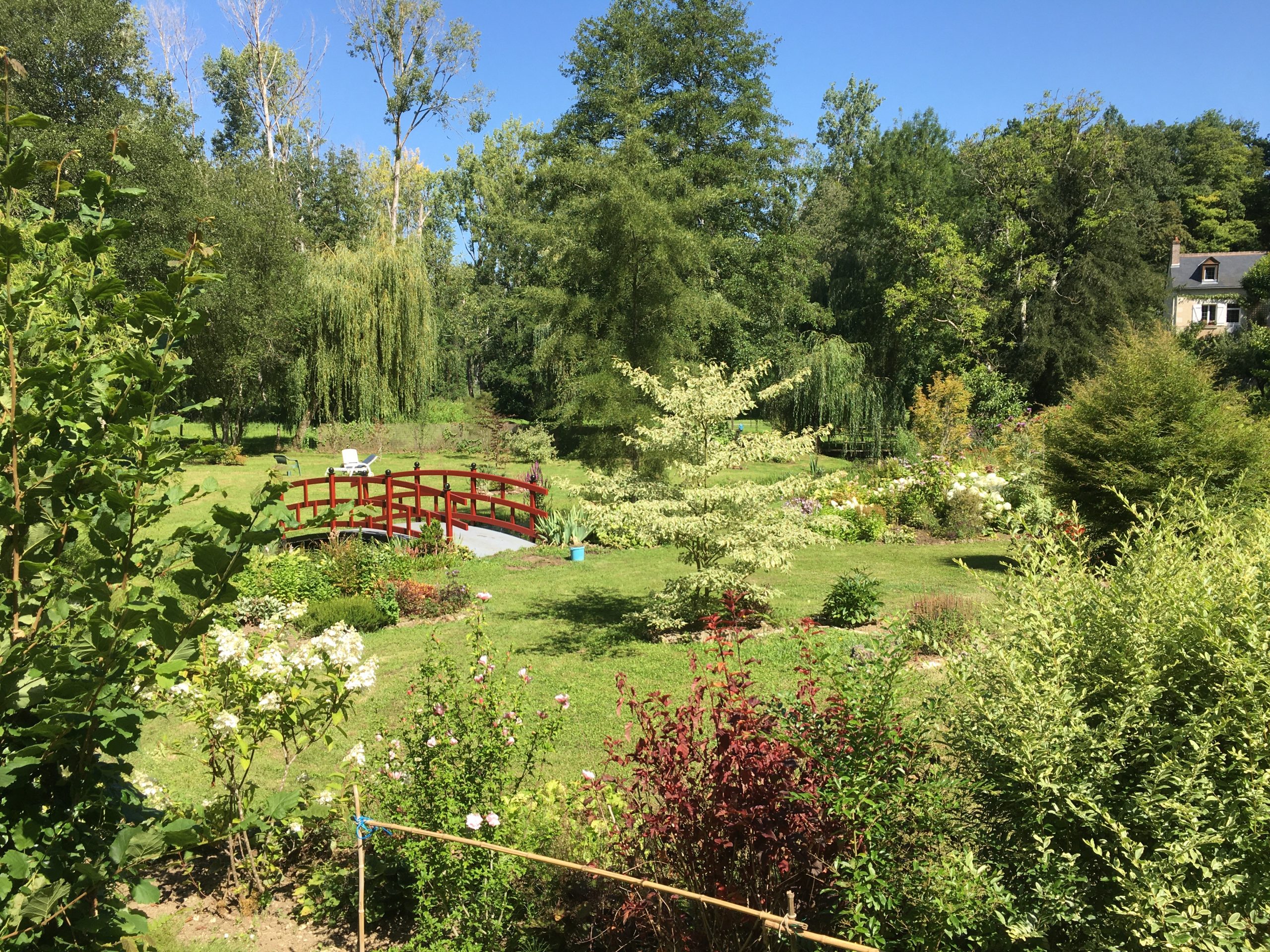
Here is a nice walk near Charentilly. The route begins in the middle of the fields, crosses the Saint-Martin wood, runs along the Petite Choisille stream, then arrives in Charentilly. It is then necessary to take a secondary road in order to return to the starting point, but this one has sidewalks and allows you to discover the village.

Already more than 200,000 users!
Uphill
123m
Highest point
124m
Downhill
123m
Lowest point
74m
Route type
Loop
Download the map on your smartphone to save battery and rest assured to always keep access to the route, even without signal.
Includes IGN France and Swisstopo.
I indicate whether dogs are allowed or prohibited on this trail
All year
0 ratings
Also enjoy:

Already more than 200,000 users!