Uphill
306m
Length
15km
Duration
4h30min
Elev gain
306m
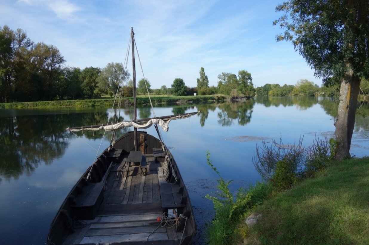
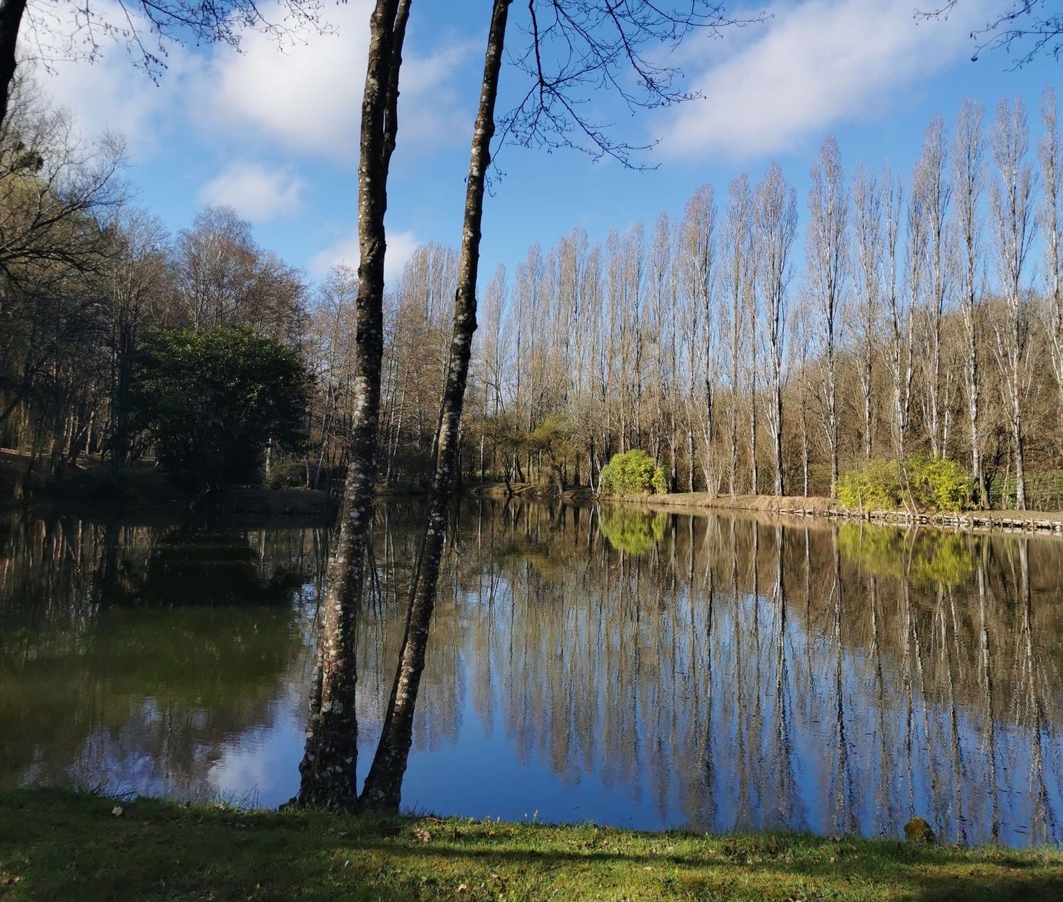
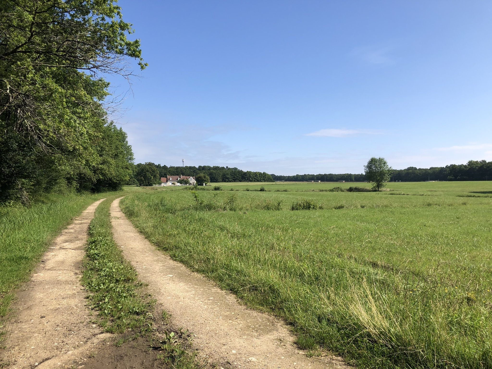
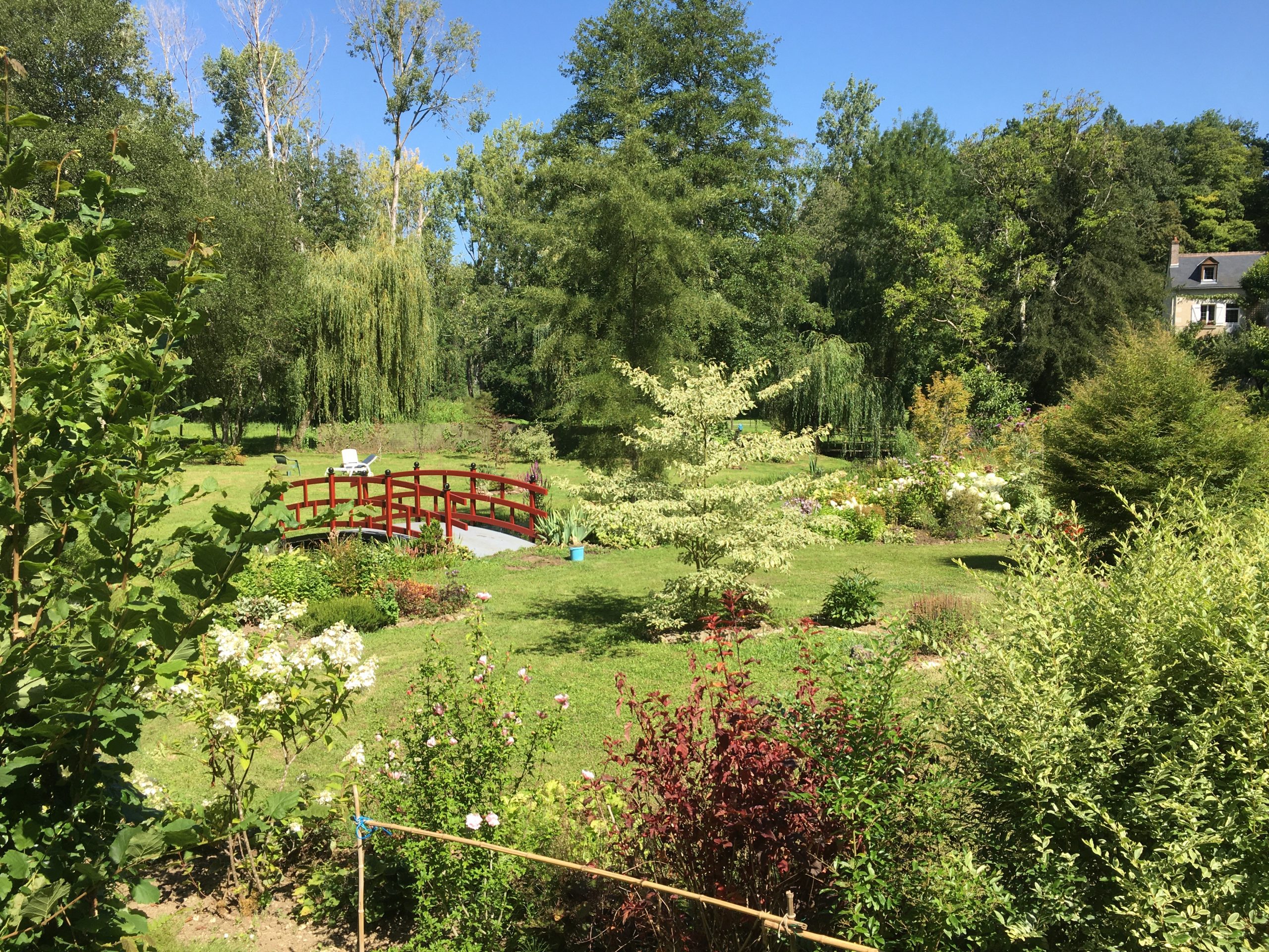
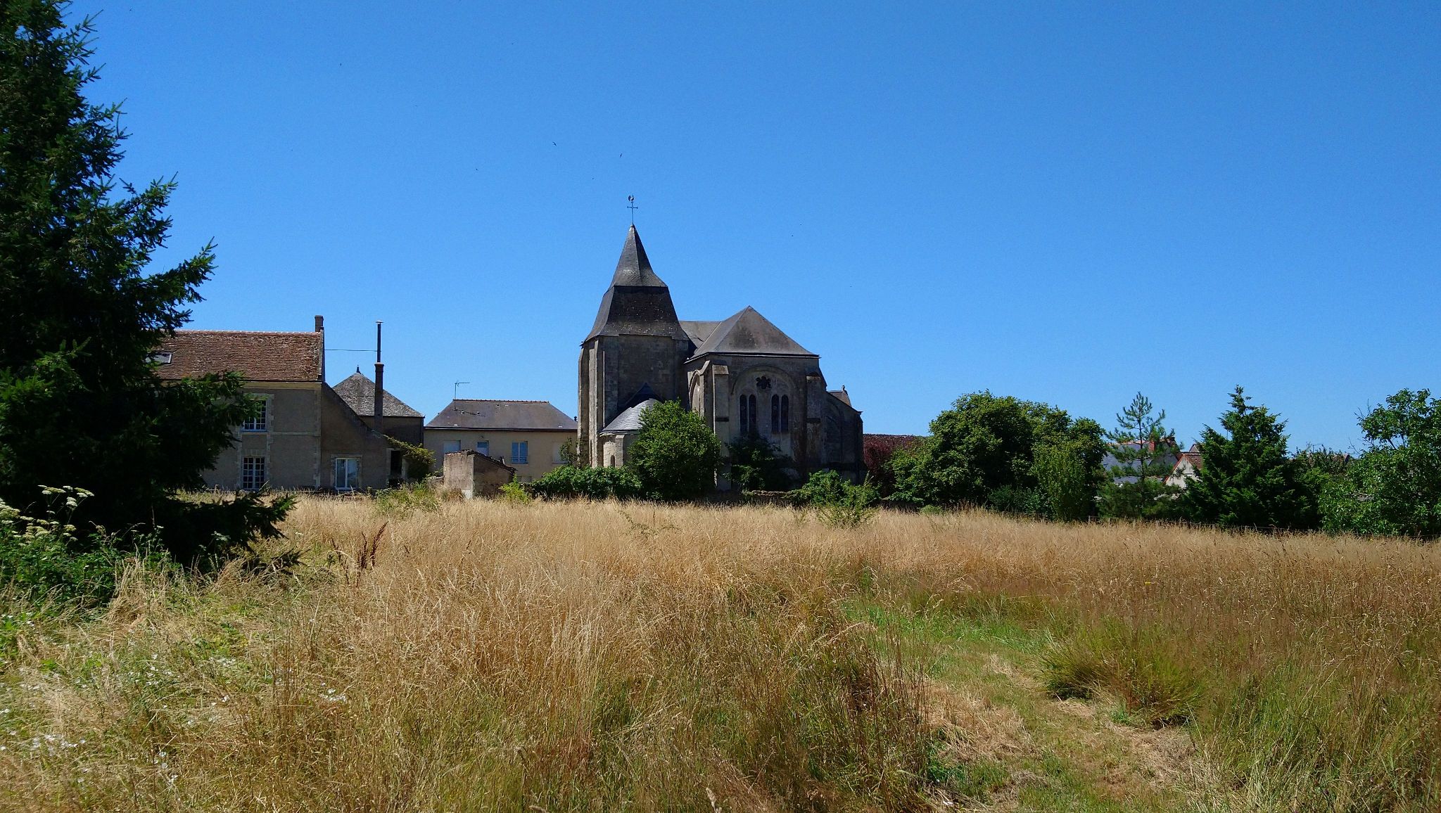
Departing from Luynes, this hike takes place mainly in the forest. This hilly course loops around the charming Bresme river and passes by the Grand Moulin and its water reservoirs halfway through, before heading back towards the starting point.

Already more than 200,000 users!
Uphill
306m
Highest point
116m
Downhill
306m
Lowest point
25m
Route type
Loop
Download the map on your smartphone to save battery and rest assured to always keep access to the route, even without signal.
Includes IGN France and Swisstopo.
I indicate whether dogs are allowed or prohibited on this trail
All year
1 rating
Also enjoy:

Already more than 200,000 users!