Uphill
151m
Length
7km
Duration
2h
Elev gain
151m
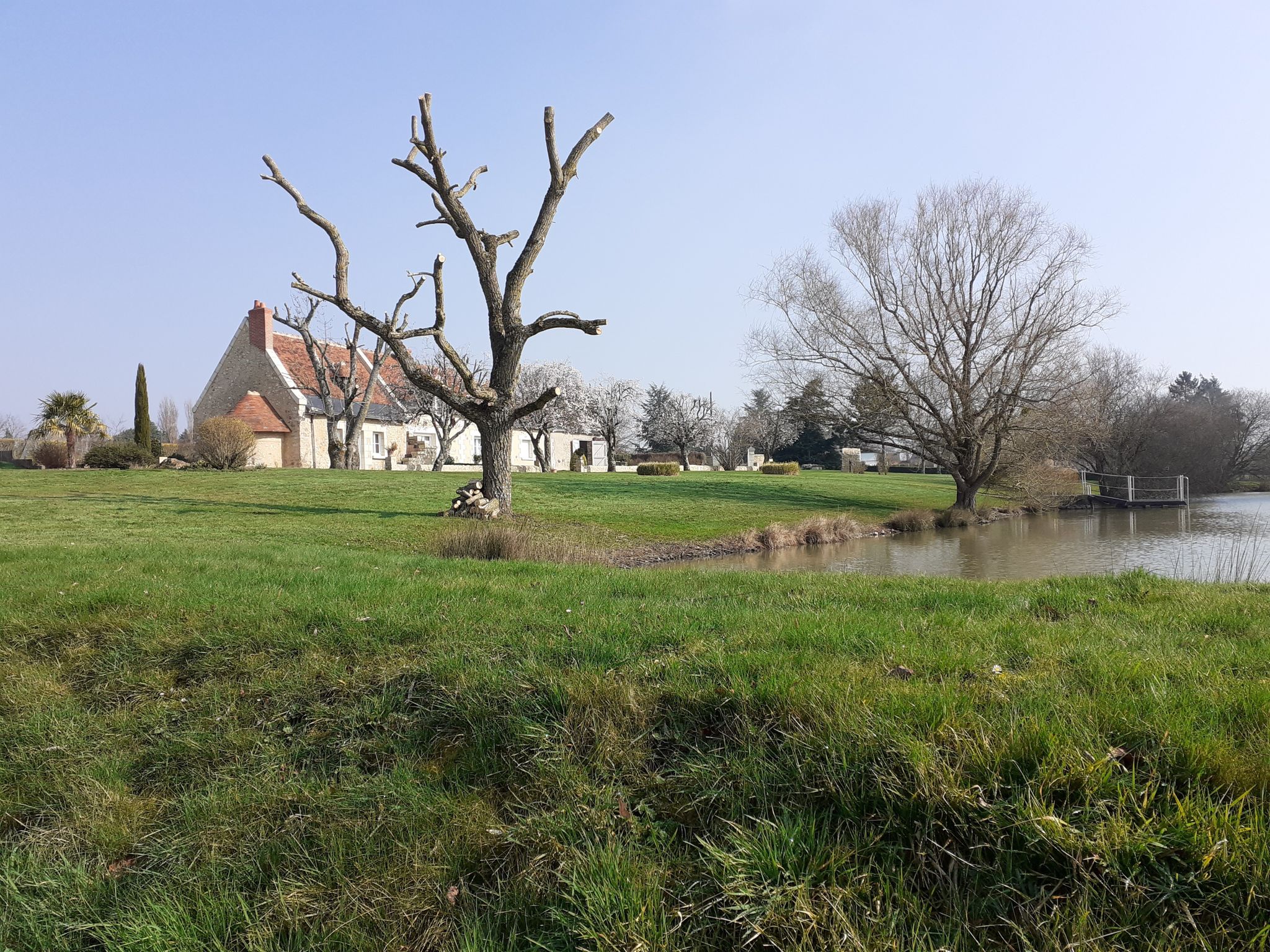
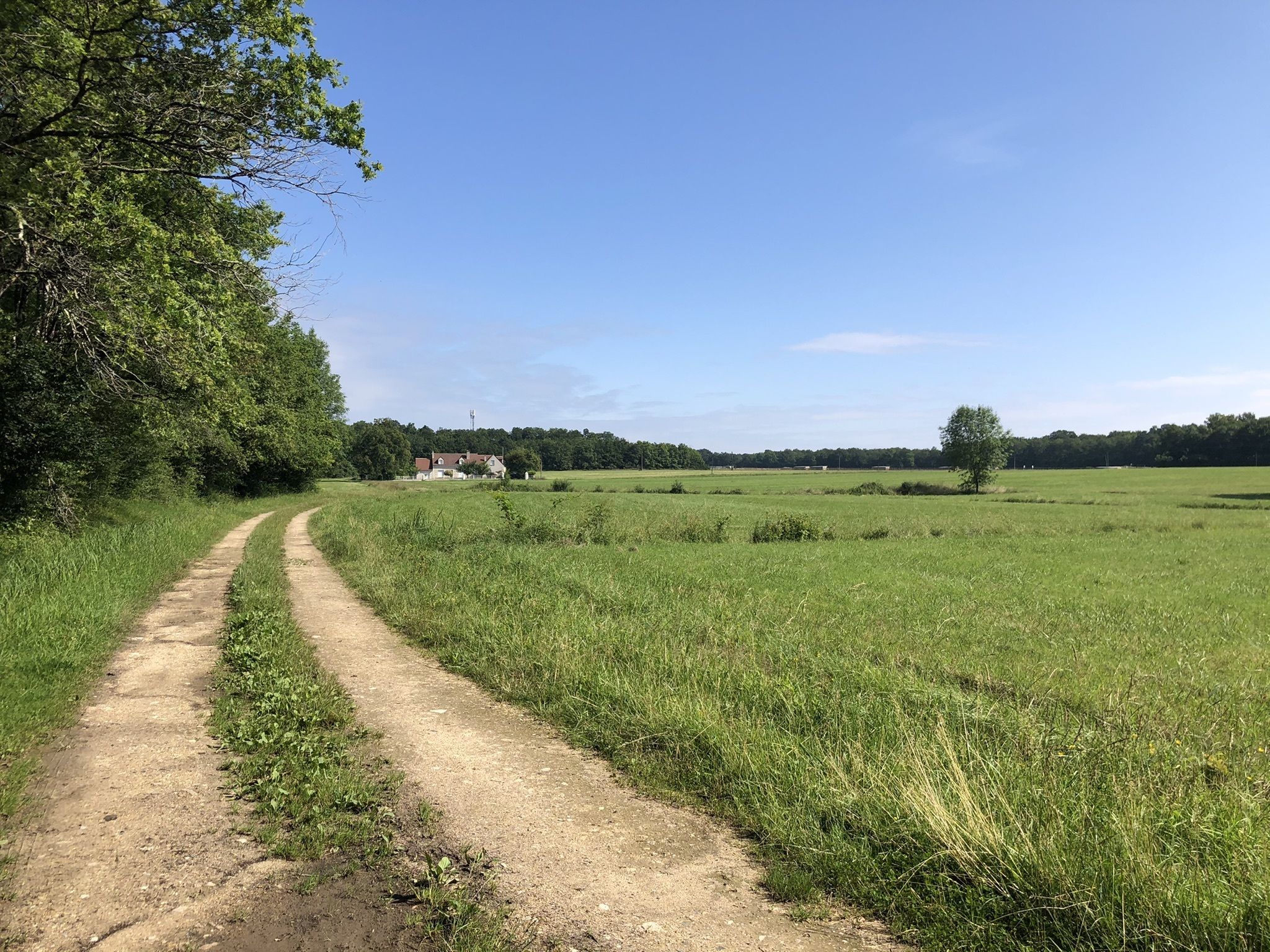
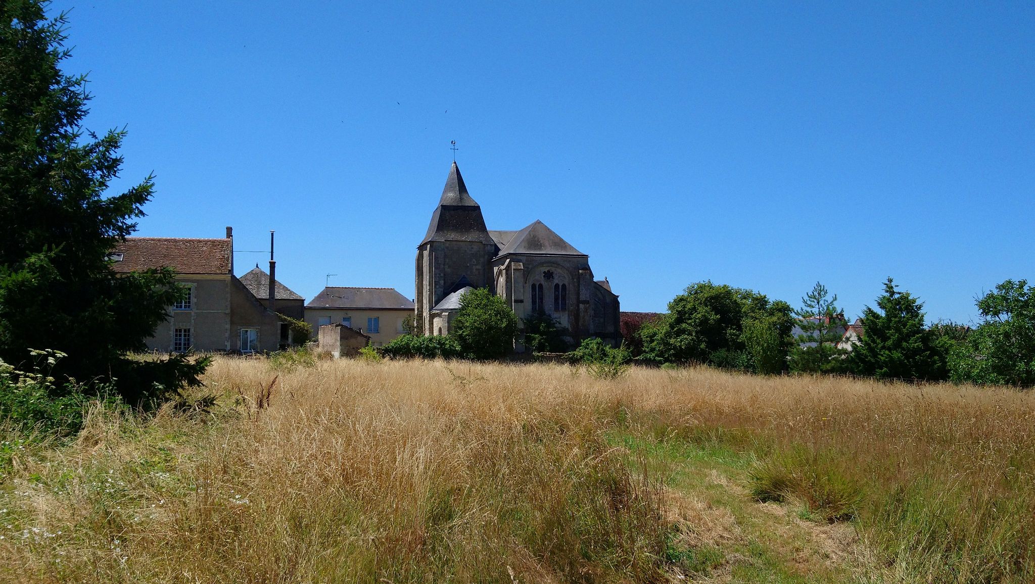
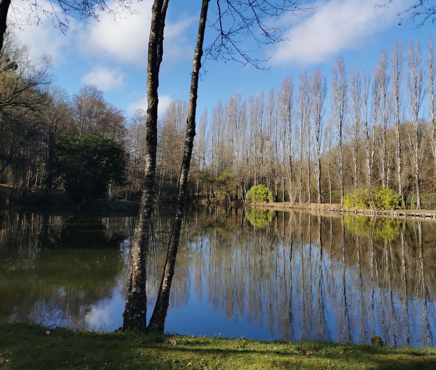
Pretty hike in the heart of the Bresme valley, starting from Les Haies Bodineaux. The route makes a loop, mainly in the forest, on a wild path in the shade of the trees and passes very close to several small ponds.
Be careful, the route can be muddy after heavy rains.

Already more than 200,000 users!
Uphill
151m
Highest point
113m
Downhill
151m
Lowest point
62m
Route type
Loop
Download the map on your smartphone to save battery and rest assured to always keep access to the route, even without signal.
Includes IGN France and Swisstopo.
I indicate whether dogs are allowed or prohibited on this trail
All year
1 rating
Also enjoy:

Already more than 200,000 users!