Uphill
35m
Length
2km
Duration
30min
Elev gain
35m
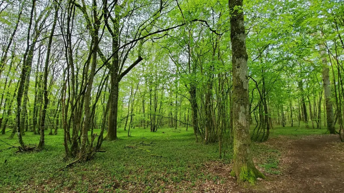
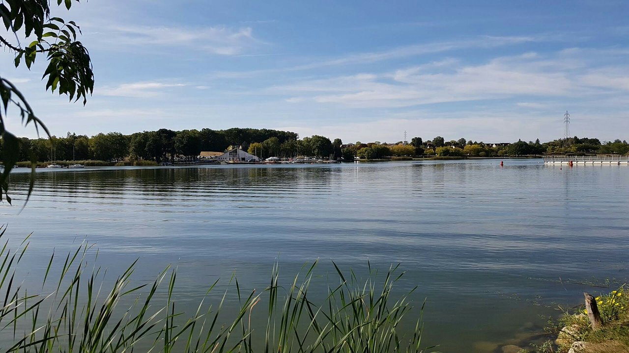
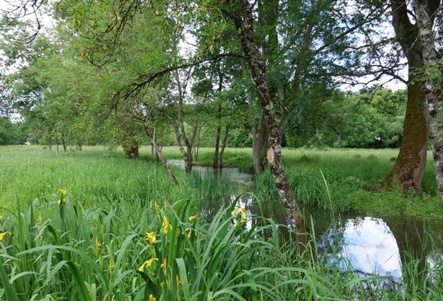
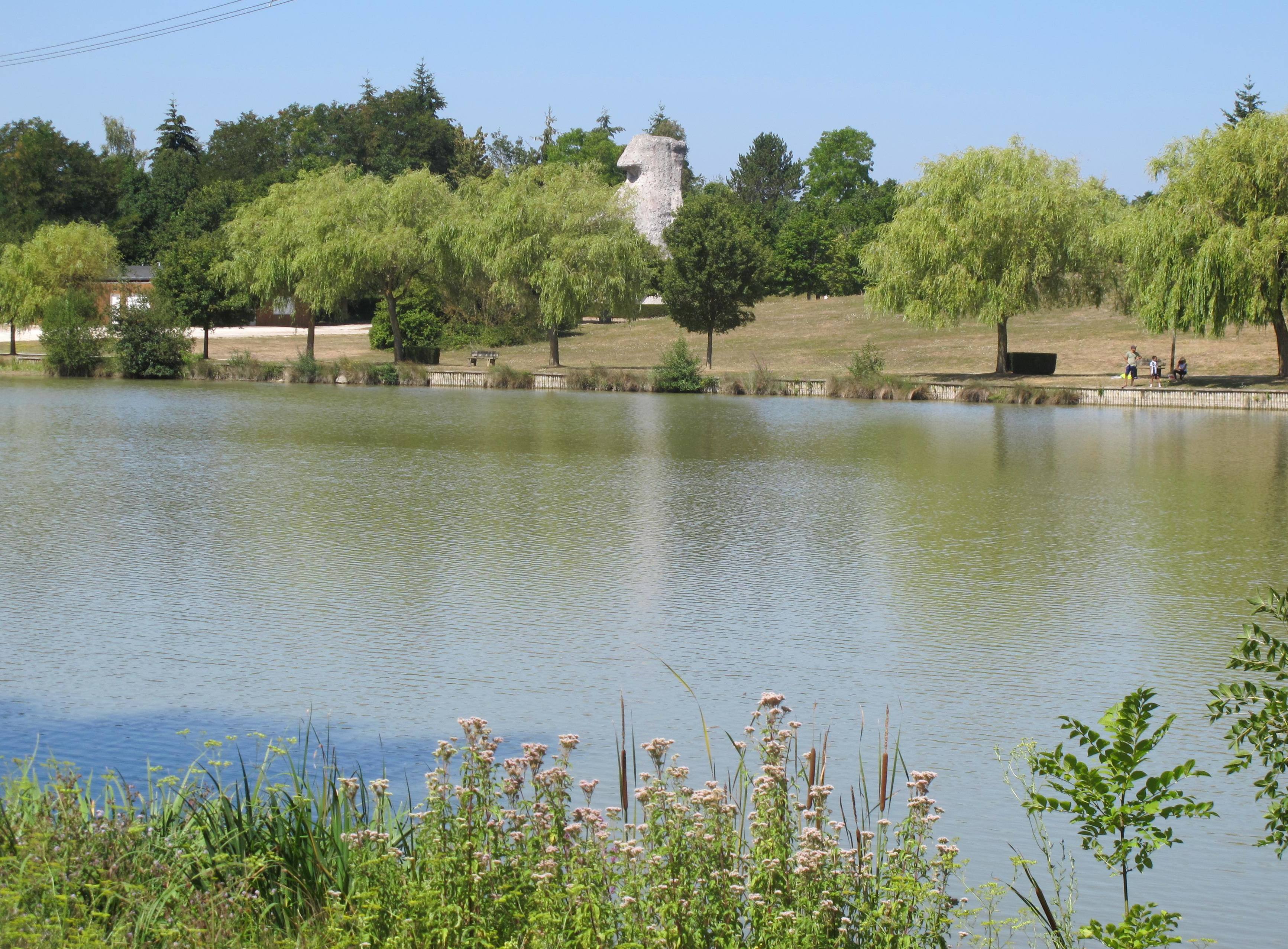
This short route circles the lake of Chambray-lès-Tours, surrounded by lawns and undergrowth, near the ring road.

Already more than 200,000 users!
Uphill
35m
Highest point
97m
Downhill
35m
Lowest point
67m
Route type
Loop
Download the map on your smartphone to save battery and rest assured to always keep access to the route, even without signal.
Includes IGN France and Swisstopo.
0 ratings
Also enjoy:

Already more than 200,000 users!