Uphill
518m
Length
5km
Duration
3h30min
Elev gain
518m
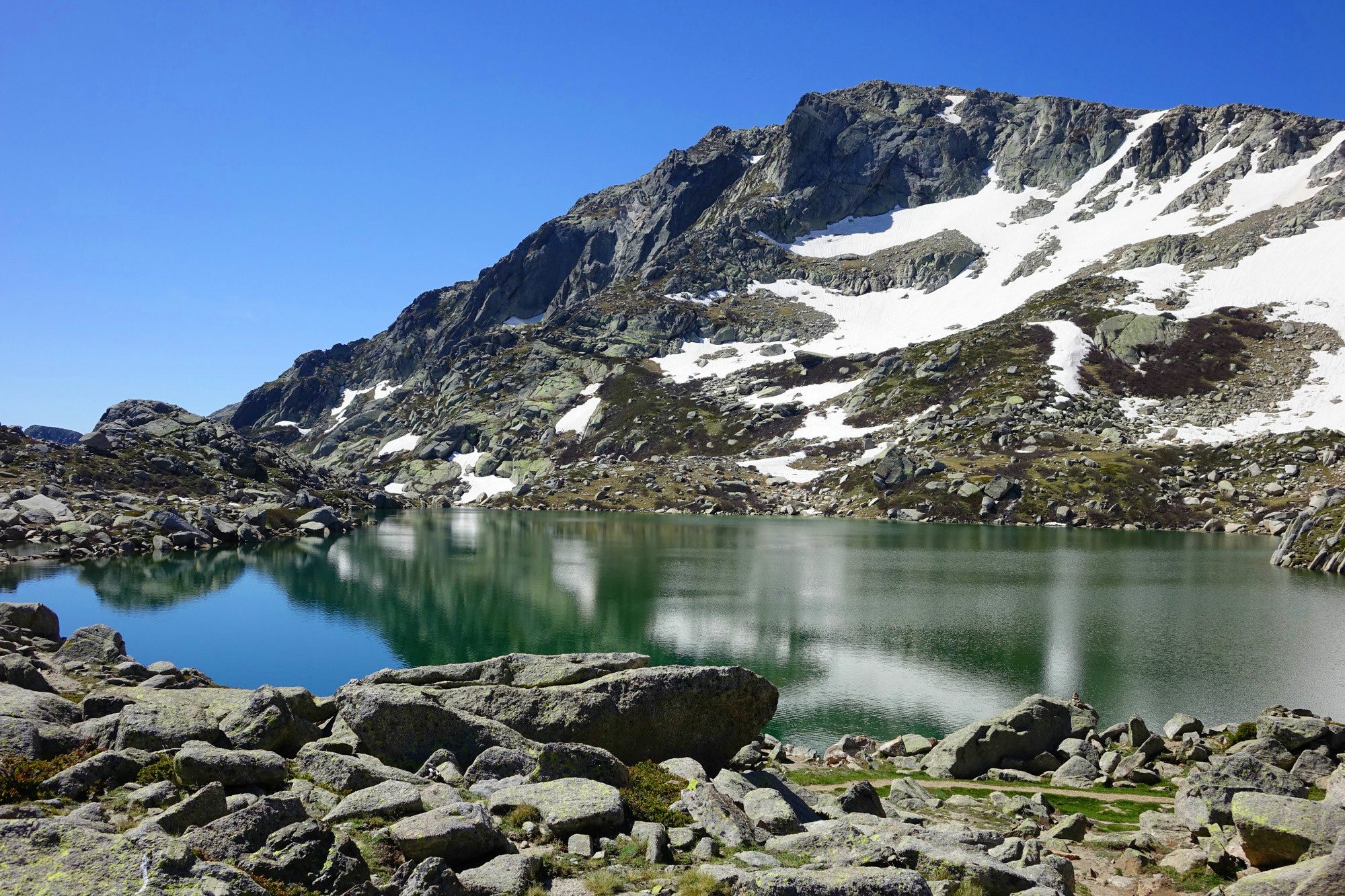
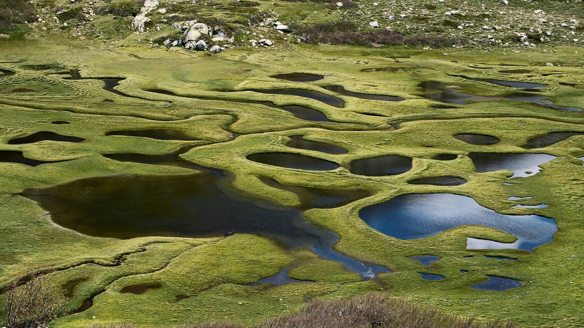
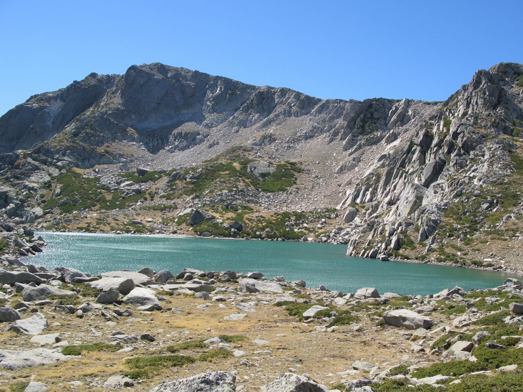
There and back trail to Bastani Lake, at the foot of Monte Renoso.
Culminating at 2,090 meters, it is one of the highest lakes in Corsica.

Already more than 200,000 users!
Uphill
518m
Highest point
2124m
Downhill
518m
Lowest point
1593m
Route type
There and back
Download the map on your smartphone to save battery and rest assured to always keep access to the route, even without signal.
Includes IGN France and Swisstopo.
I indicate whether dogs are allowed or prohibited on this trail
From May to September
2 ratings
Juste magnifique, paysages grandioses et lac sublime mais ce n’est pas une balade, il faut partir bien équipé et l’ascension est raide. Il semble que l’aller retour soit plutôt autour de 9km et nous vous conseillons de partir du parking du gîte et de suivre le balisage jaune plutôt que la trace de début indiqué sur l’appli qui finalement rejoint le balisage jaune.
Also enjoy:

Already more than 200,000 users!