Uphill
423m
Length
7km
Duration
3h
Elev gain
423m
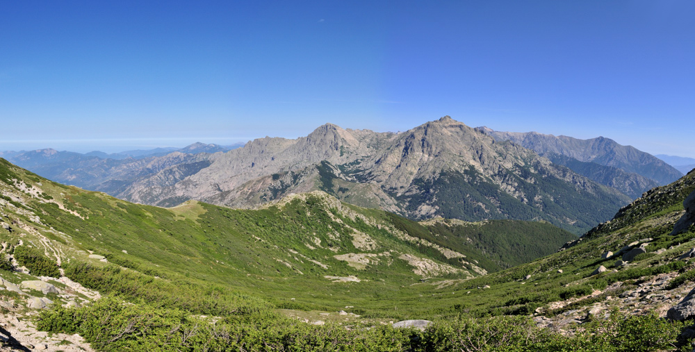
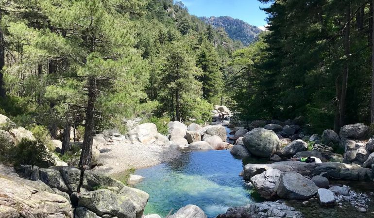
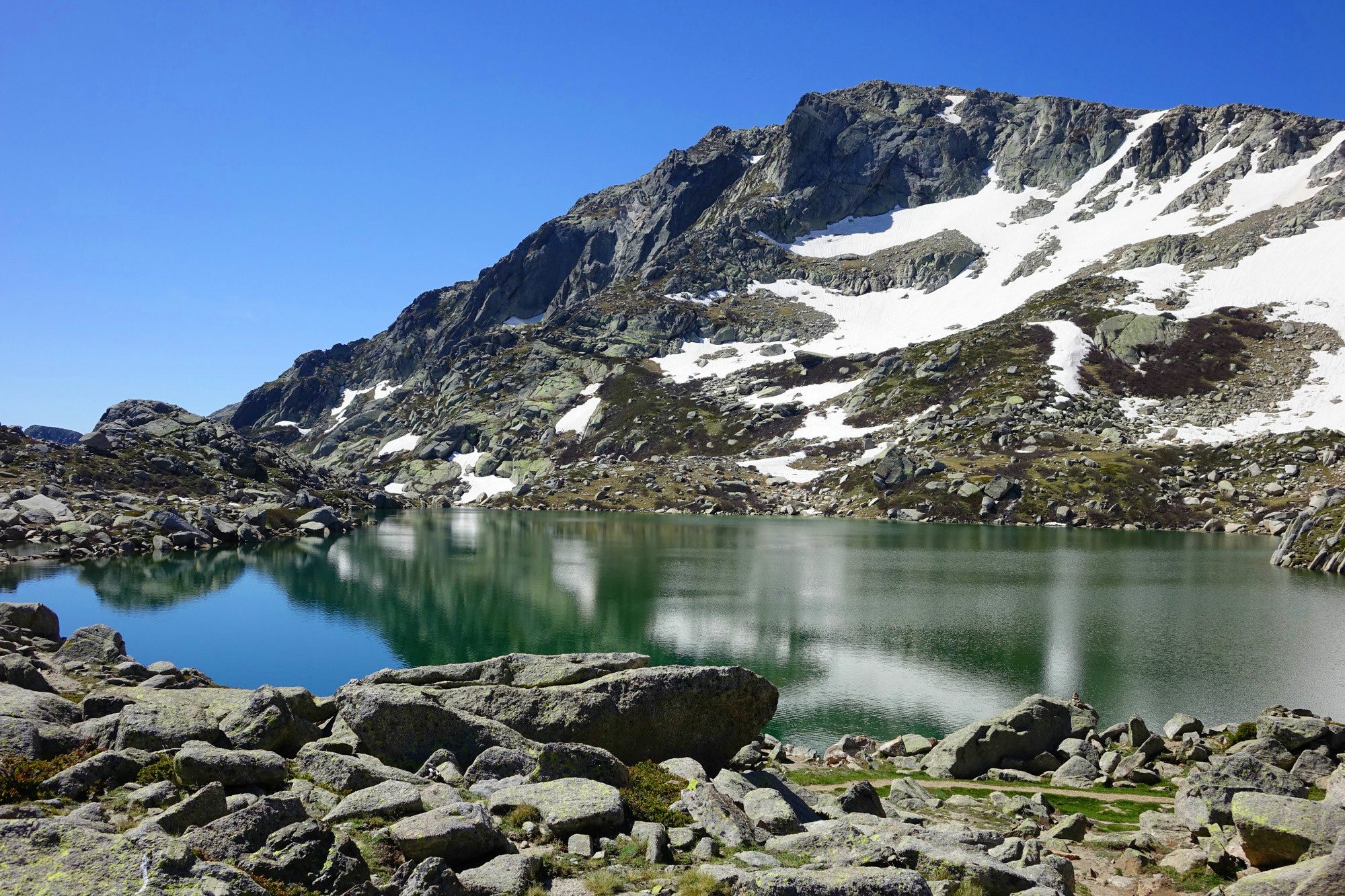
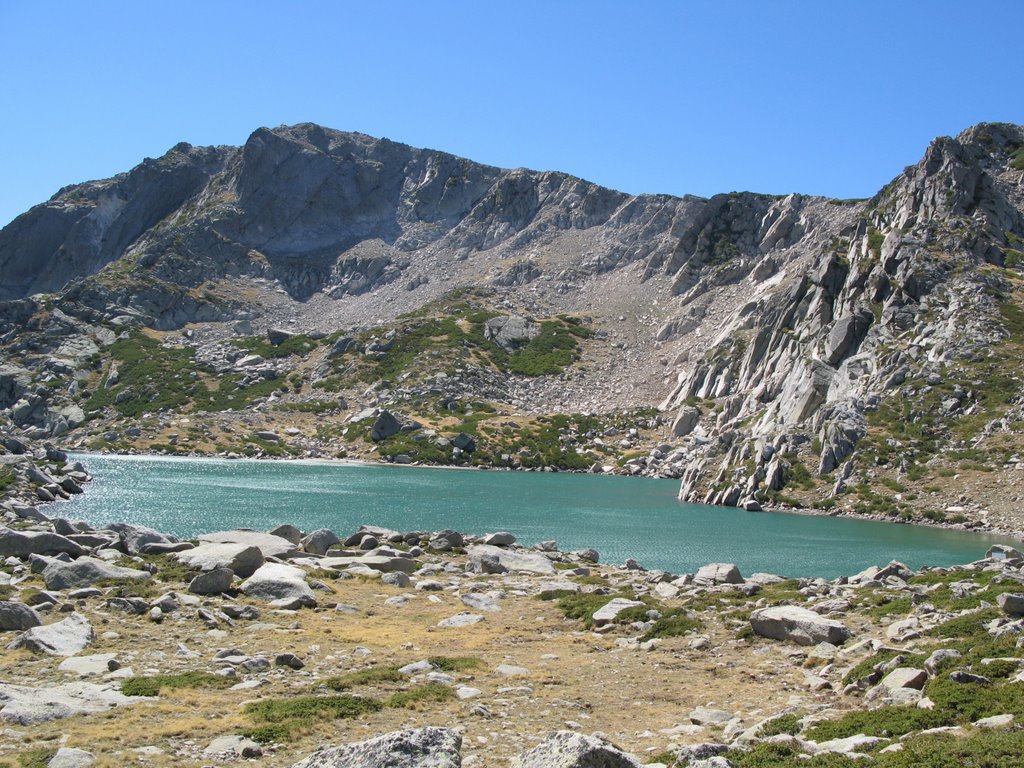
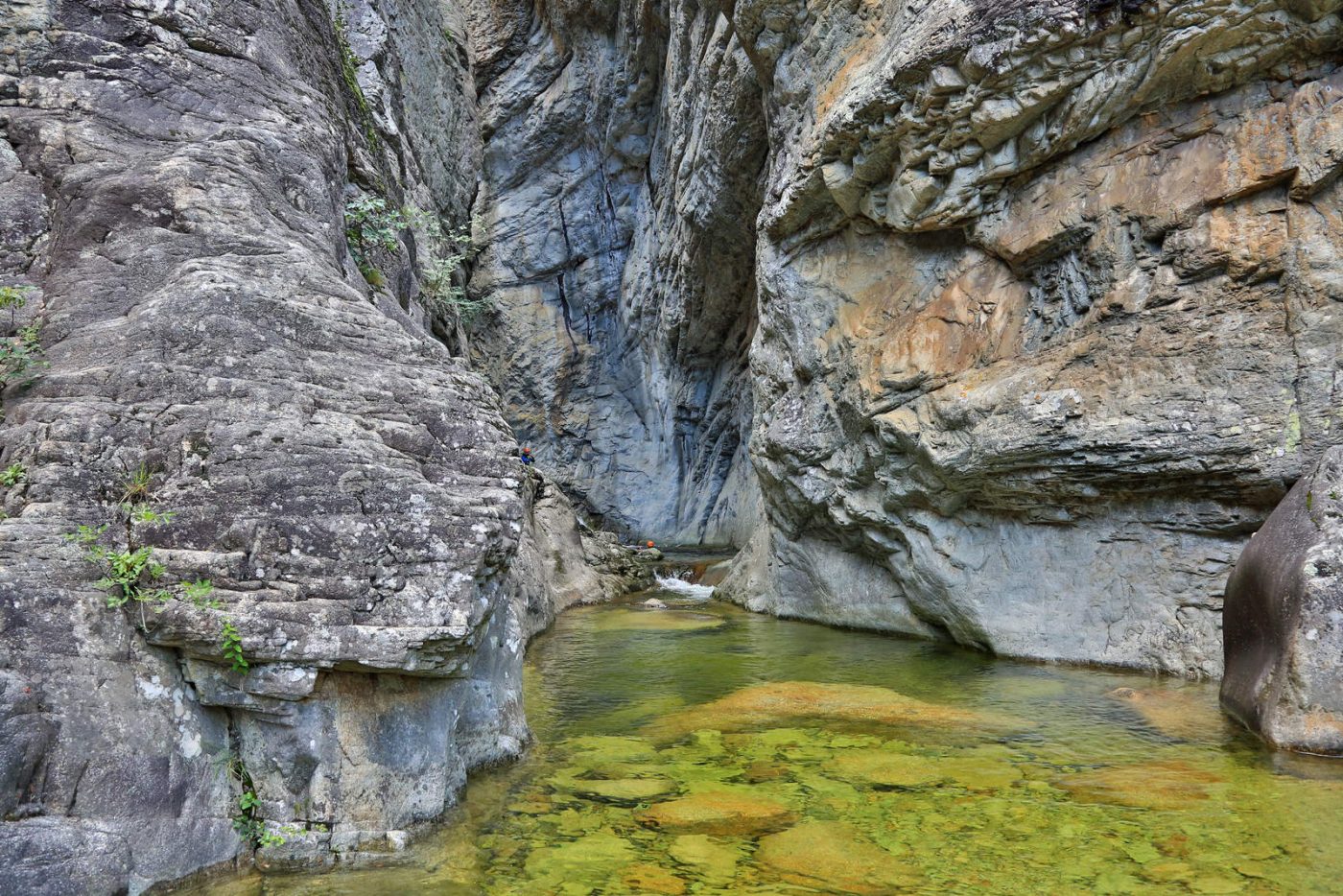
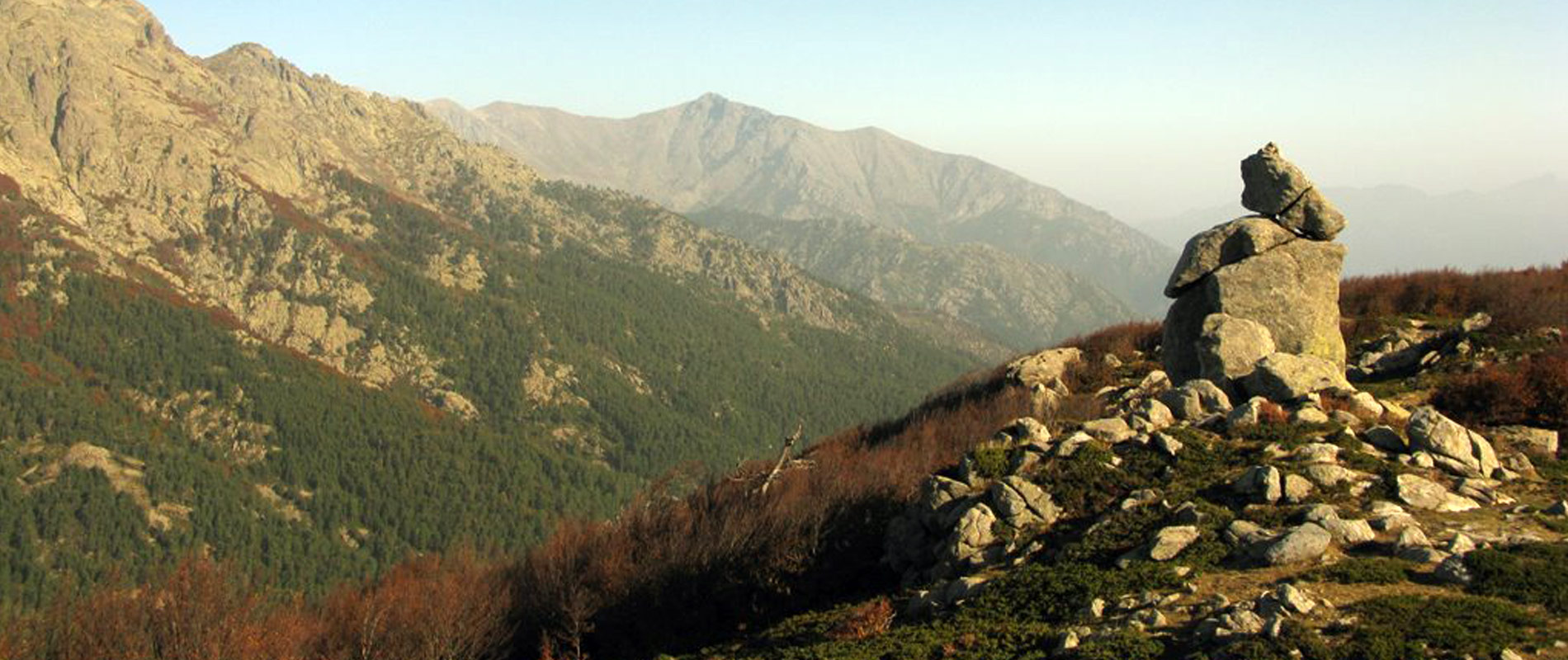
Loop trail to reach the Madonuccia rock, which dominates the Vizzavona pass at an altitude of 1540 m. The trail also passes through the sheepfolds of the Pozzi.

Already more than 200,000 users!
Uphill
423m
Highest point
1550m
Downhill
423m
Lowest point
1136m
Route type
Loop
Download the map on your smartphone to save battery and rest assured to always keep access to the route, even without signal.
Includes IGN France and Swisstopo.
I indicate whether dogs are allowed or prohibited on this trail
Can be difficult in Winter
0 ratings
Also enjoy:

Already more than 200,000 users!