Uphill
547m
Length
7km
Duration
4h
Elev gain
547m
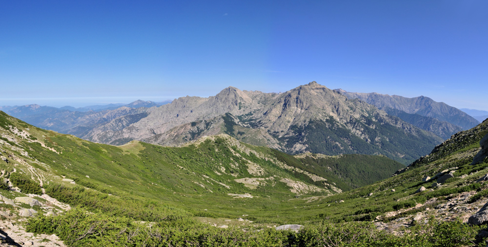
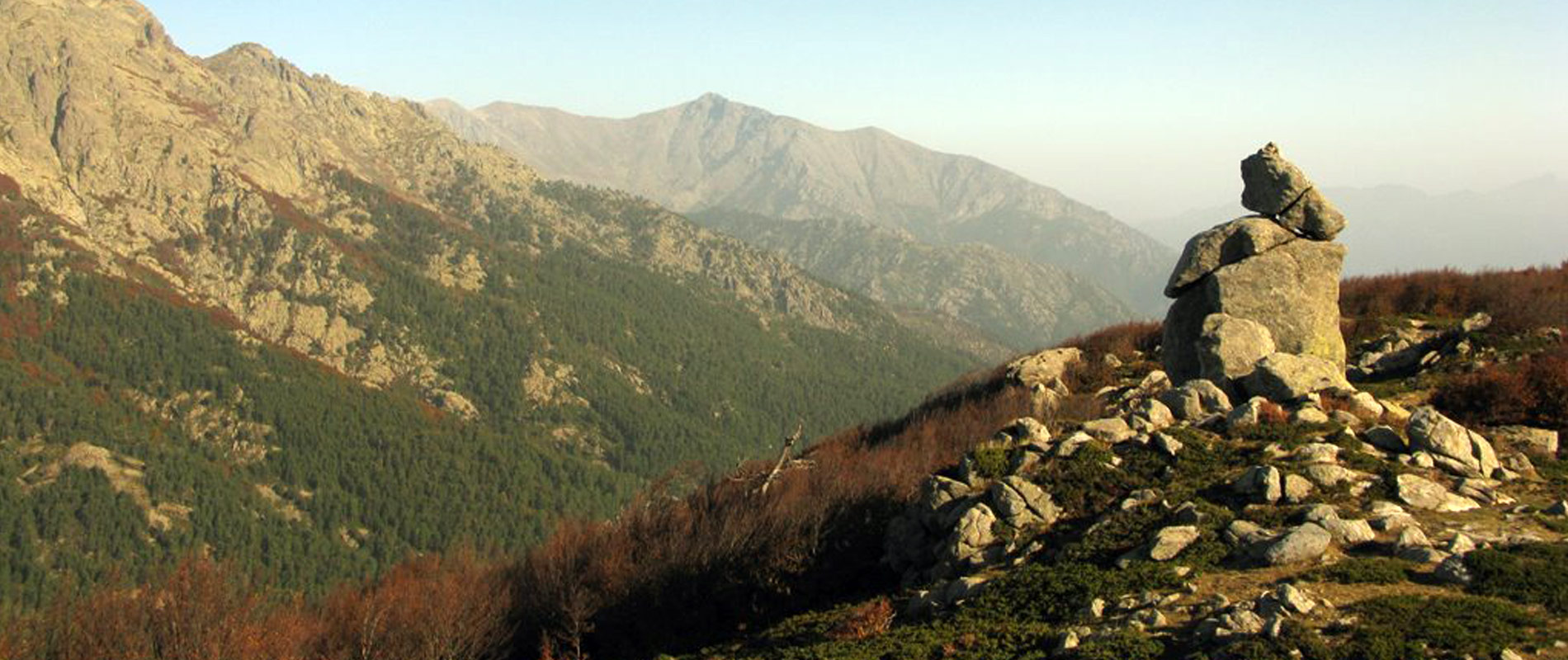
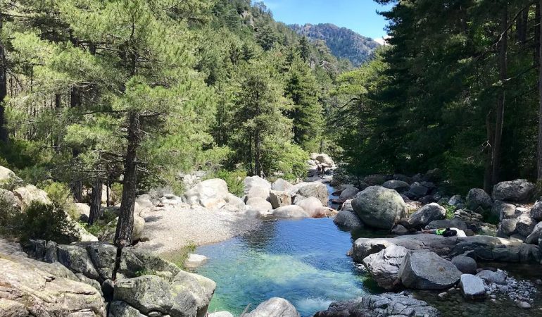
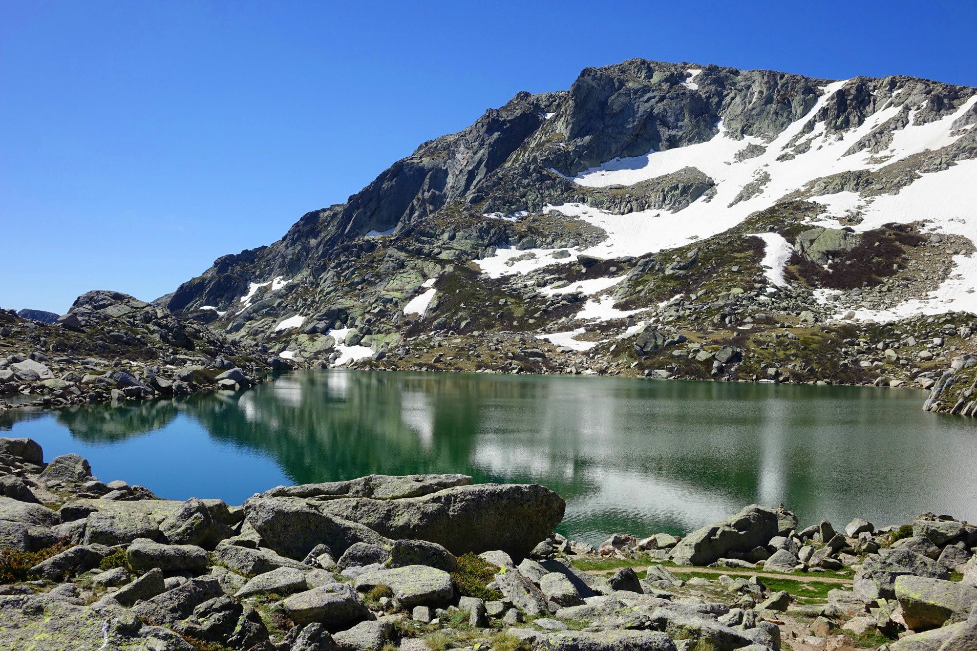
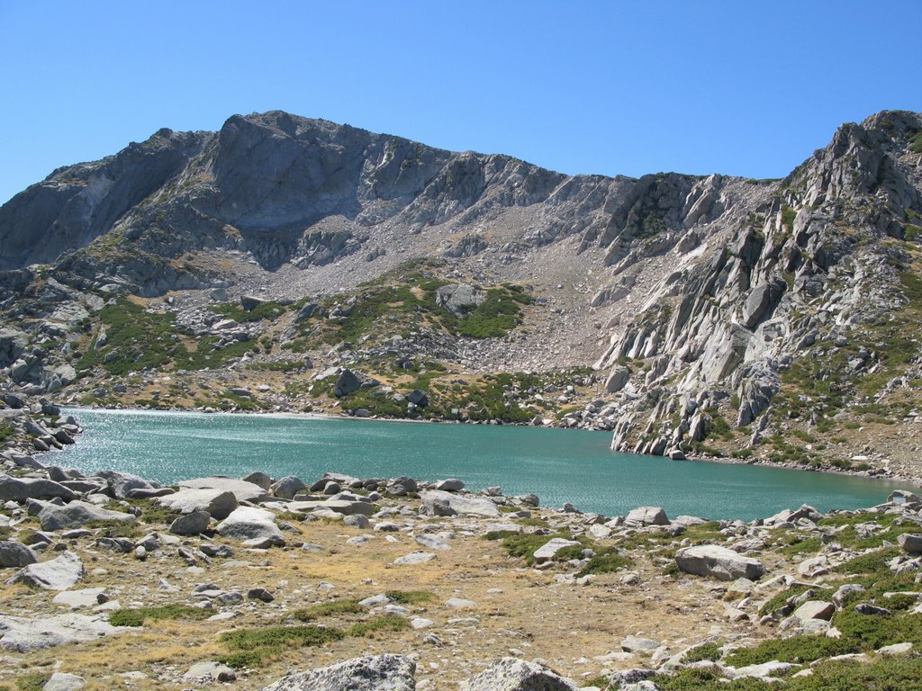
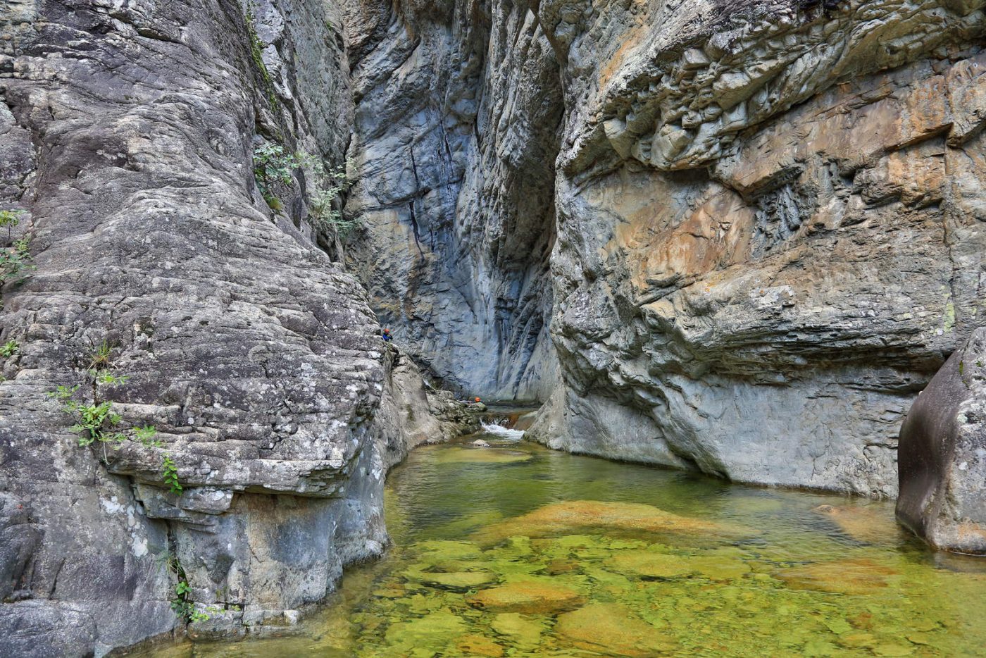
Quite a challenging loop trail where you sometimes have to use your hands to move forward. It offers beautiful landscapes, and a well-deserved swim at the end.

Already more than 200,000 users!
Uphill
547m
Highest point
1026m
Downhill
547m
Lowest point
560m
Route type
Loop
Download the map on your smartphone to save battery and rest assured to always keep access to the route, even without signal.
Includes IGN France and Swisstopo.
I indicate whether dogs are allowed or prohibited on this trail
All year
2 ratings
Un peu dangereux par moments
Also enjoy:

Already more than 200,000 users!