Uphill
162m
Length
3km
Duration
1h
Elev gain
162m
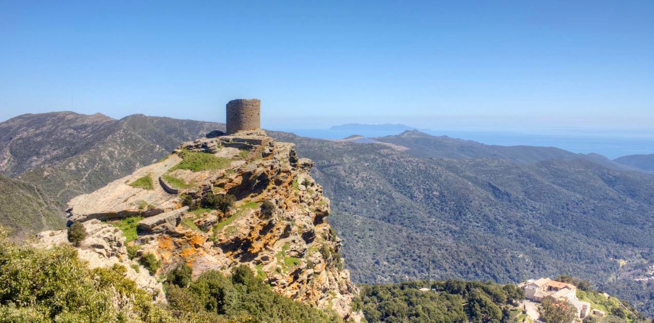
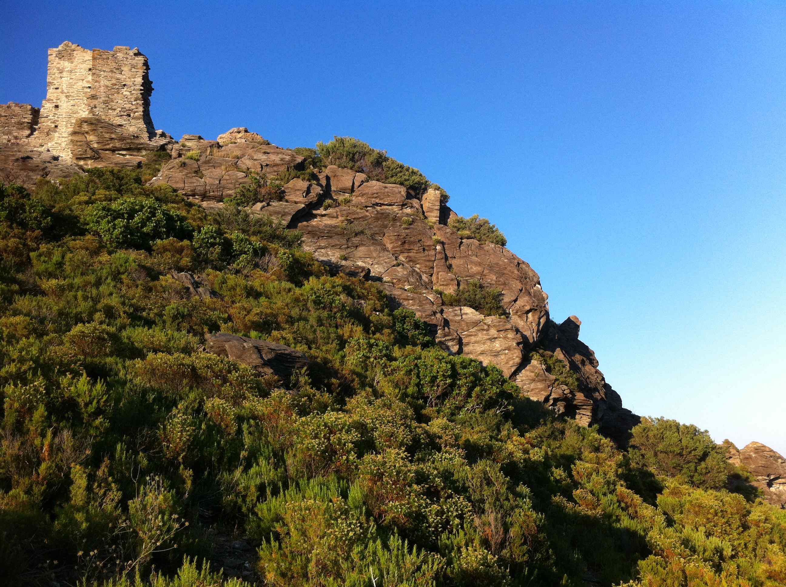
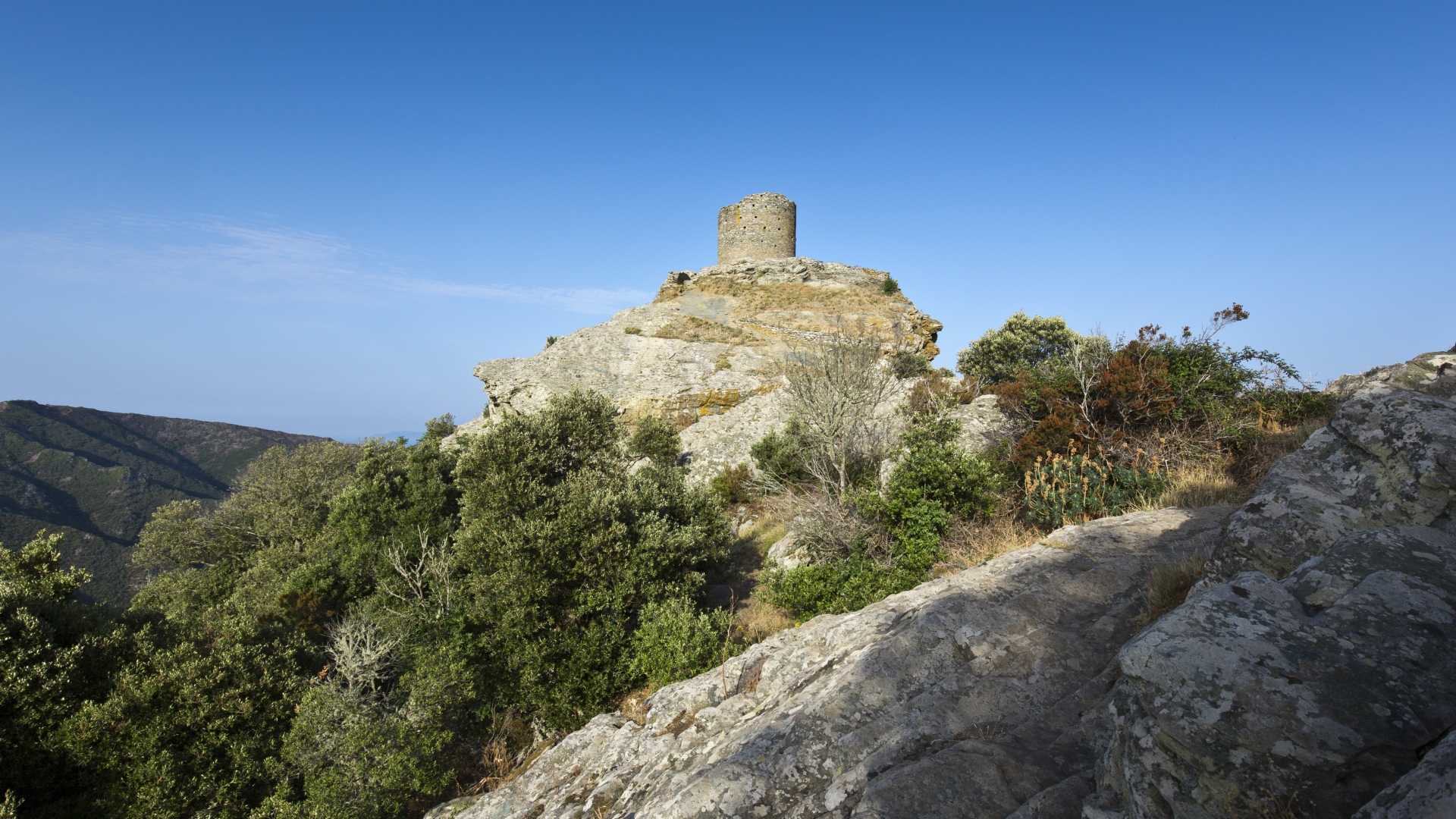
Relatively easy walk to the ruins of a 16th century Genoese tower, located on a rocky outcrop at an altitude of 564 m. This promontory offers a nice view of the surroundings.

Already more than 200,000 users!
Uphill
162m
Highest point
546m
Downhill
162m
Lowest point
375m
Route type
There and back
Download the map on your smartphone to save battery and rest assured to always keep access to the route, even without signal.
Includes IGN France and Swisstopo.
I indicate whether dogs are allowed or prohibited on this trail
All year
3 ratings
Also enjoy:

Already more than 200,000 users!