Uphill
225m
Length
9km
Duration
3h
Elev gain
225m
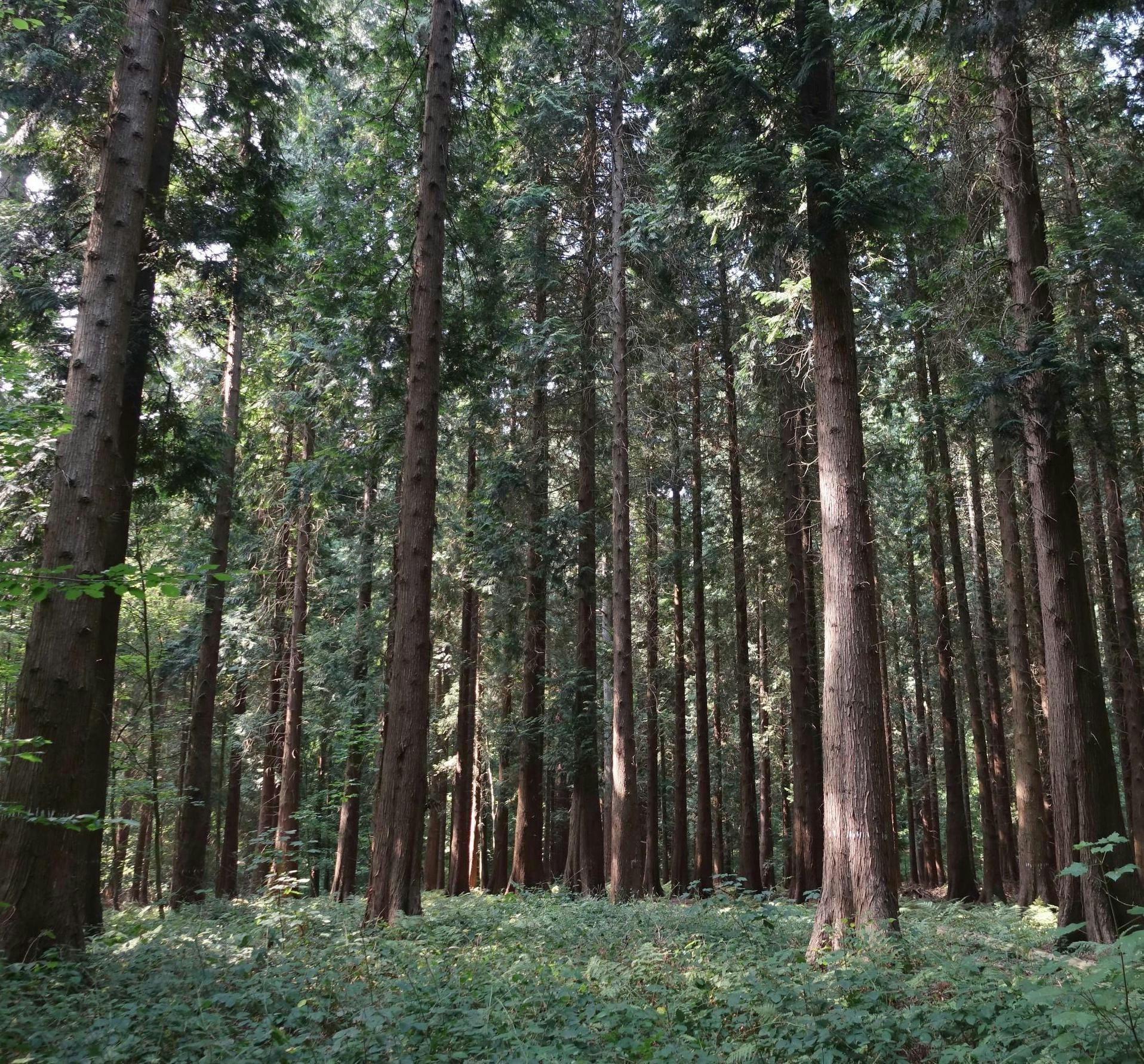
Departing from Treignes, this walk explores two woods: Matignolles wood and Fayt wood. A beautiful route away from civilization, in beautiful and silent forests.

Already more than 200,000 users!
Uphill
225m
Highest point
251m
Downhill
225m
Lowest point
131m
Route type
Loop
Download the map on your smartphone to save battery and rest assured to always keep access to the route, even without signal.
Includes IGN France and Swisstopo.
I indicate whether dogs are allowed or prohibited on this trail
All year
0 ratings
Also enjoy:

Already more than 200,000 users!


