Uphill
221m
France > Grand Est > Haut-Rhin > Ballons des Vosges Regional Natural Park
Length
5km
Duration
2h
Elev gain
221m
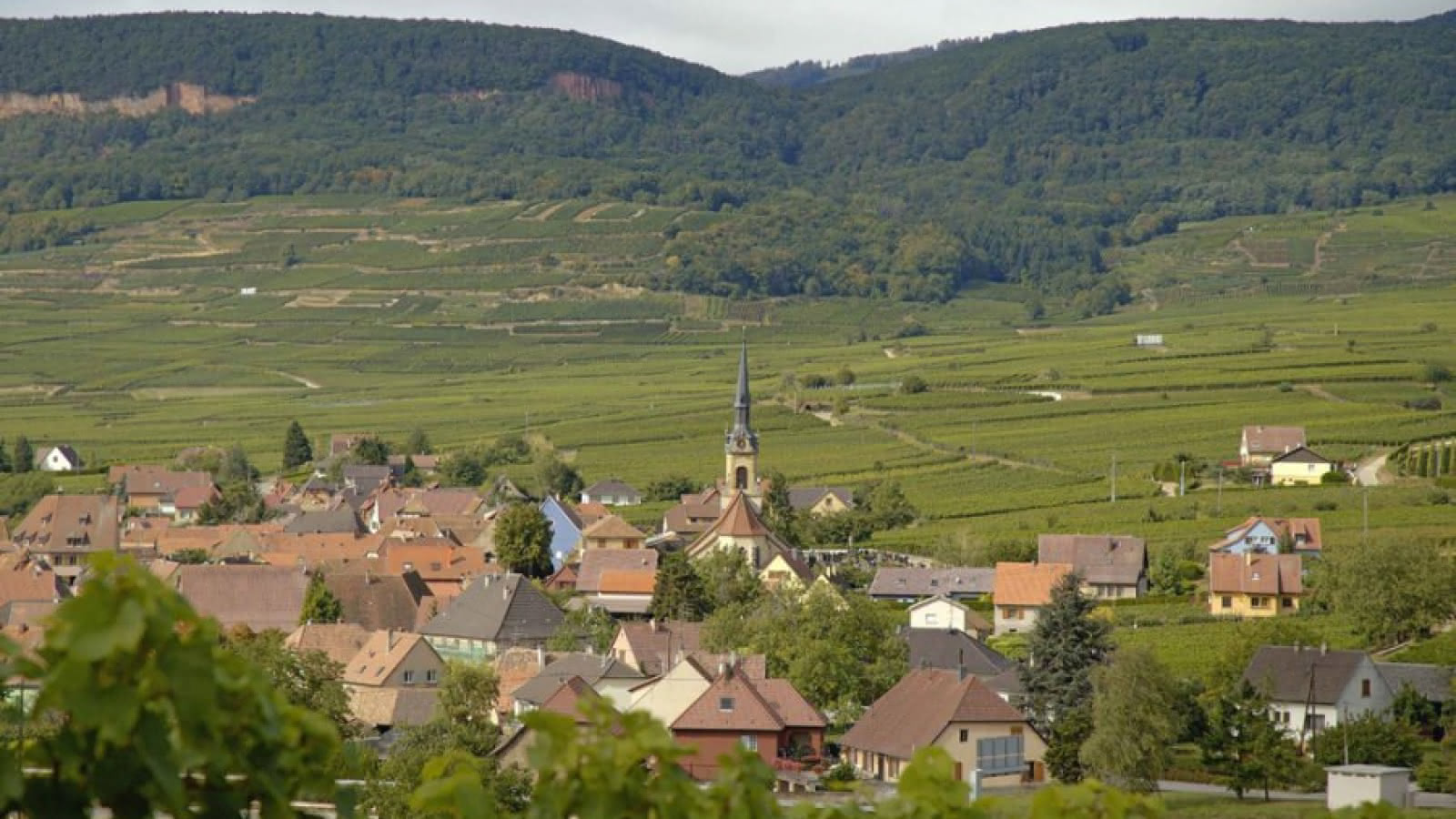
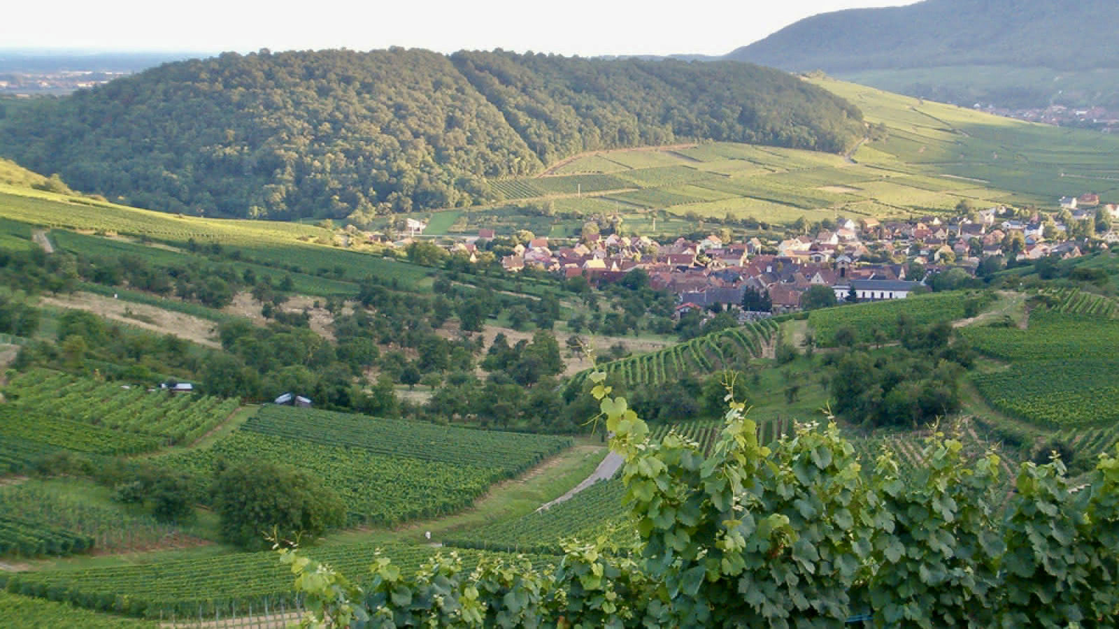
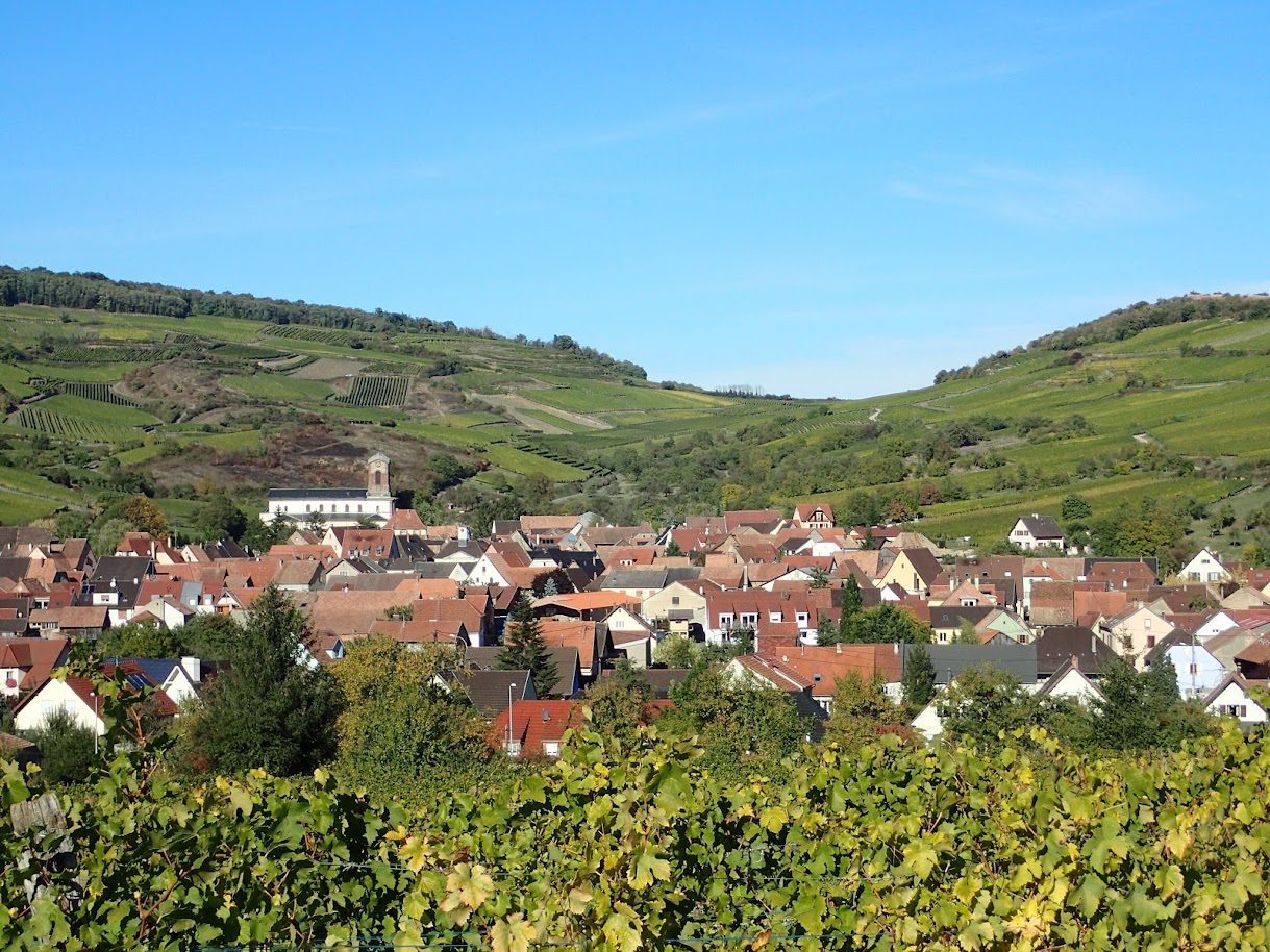
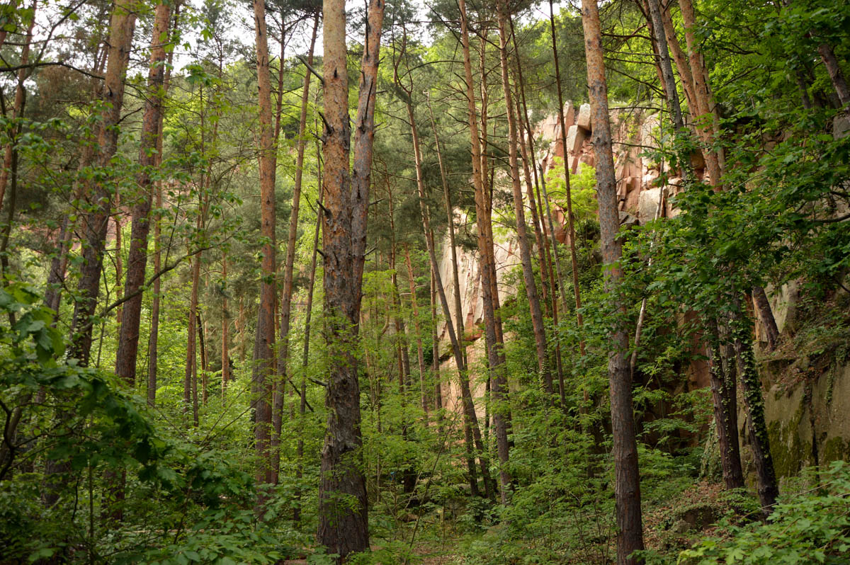
This is a perfect hike for the family. Starting from the village of Voegtlinshoffen, the route takes place mainly in the forest and takes a little height in order to offer some unobstructed views of the charming village and its vineyards.

Already more than 200,000 users!
Uphill
221m
Highest point
546m
Downhill
221m
Lowest point
334m
Route type
Loop
Download the map on your smartphone to save battery and rest assured to always keep access to the route, even without signal.
Includes IGN France and Swisstopo.
I indicate whether dogs are allowed or prohibited on this trail
All year
1 rating
Also enjoy:

Already more than 200,000 users!