Uphill
176m
France > Grand Est > Haut-Rhin > Ballons des Vosges Regional Natural Park
Length
5km
Duration
1h30min
Elev gain
176m
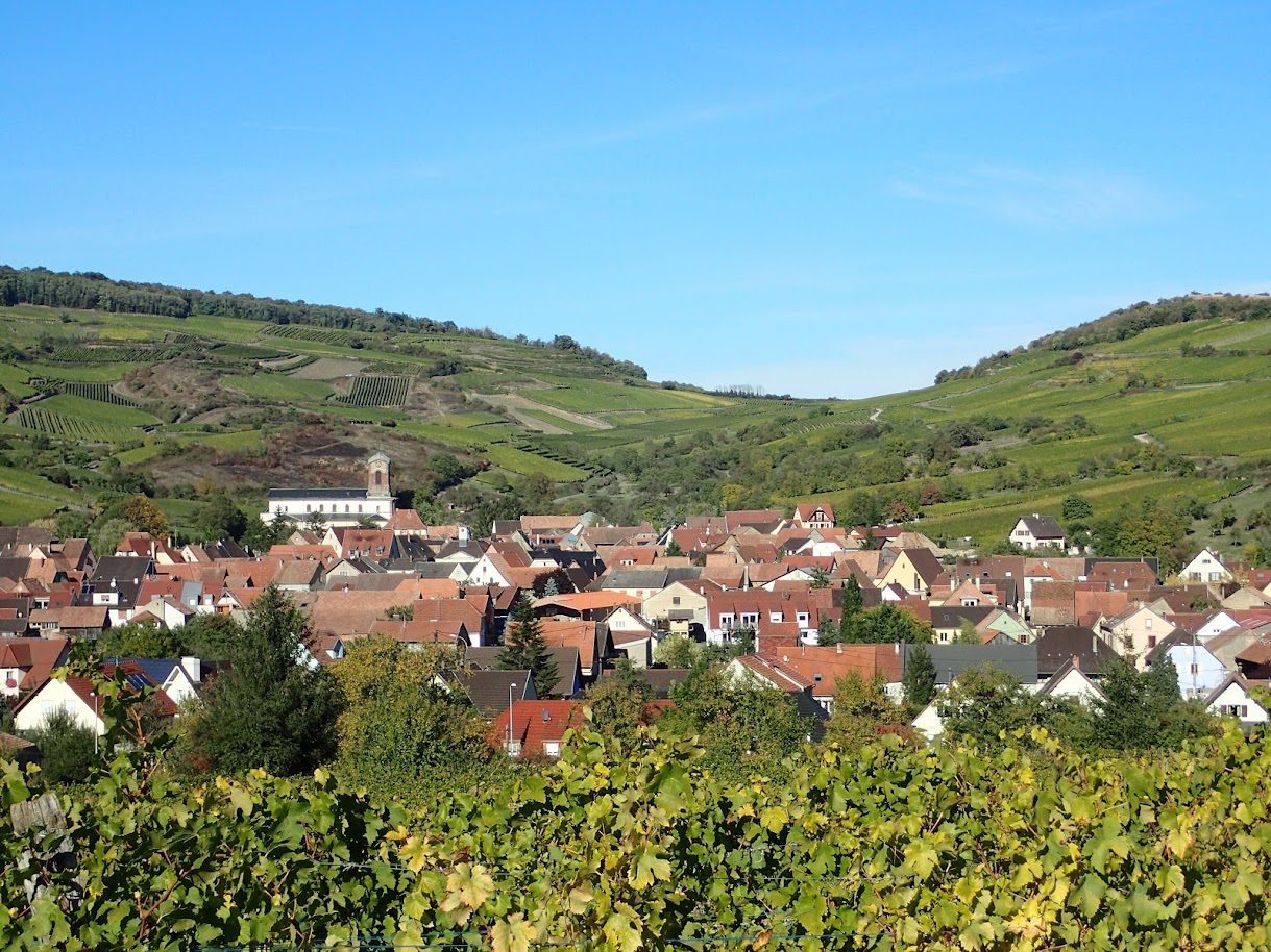
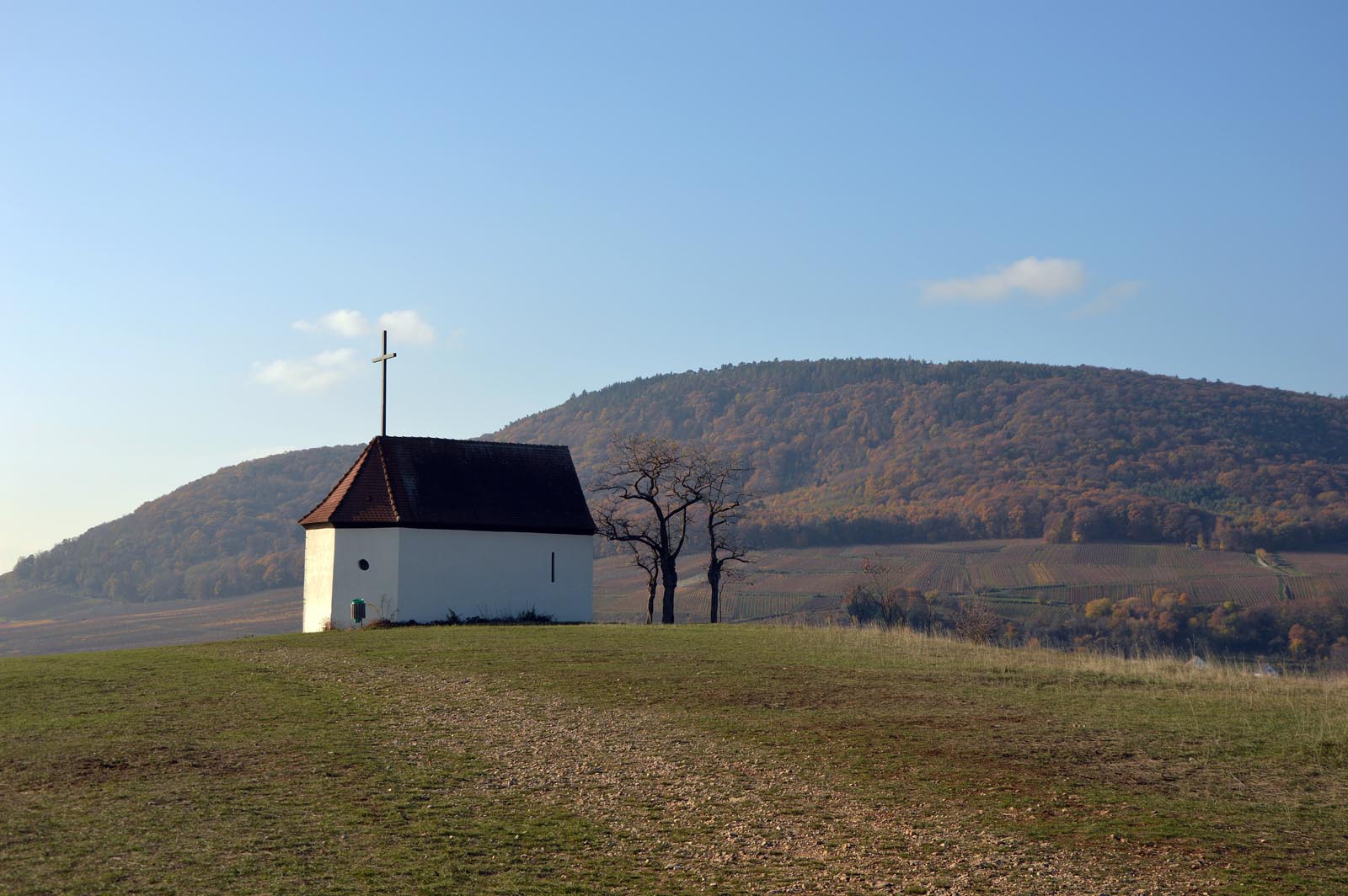
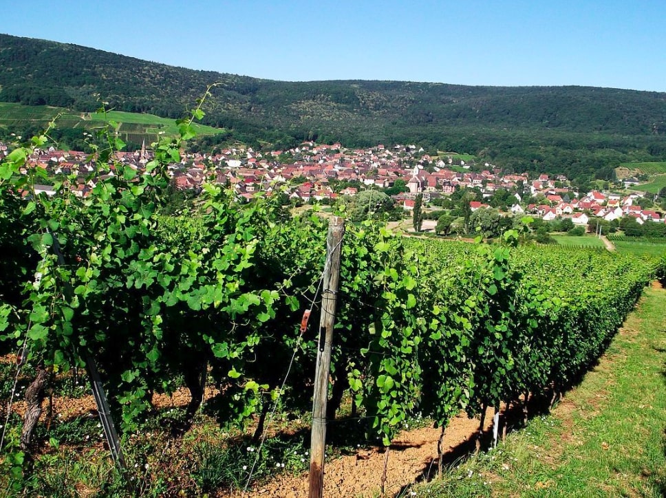
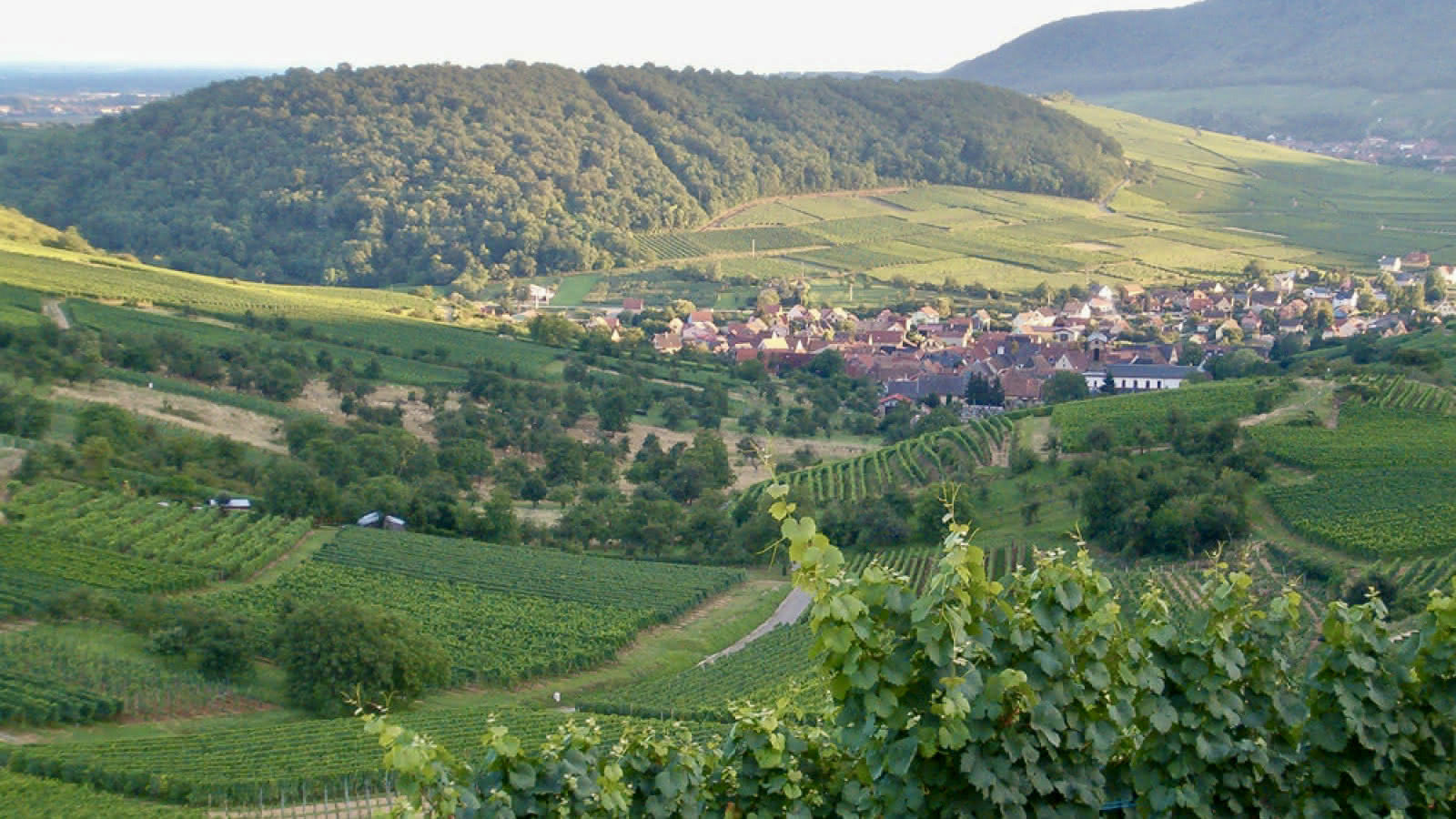
Departing from the village of Westhalten, this family walk sets out to discover a beautiful religious heritage. From cross to cross, the route makes a loop in the middle of the vineyards and offers beautiful views of the dry hills of Strangenberg in the foreground, and the Grand Ballon further on.

Already more than 200,000 users!
Uphill
176m
Highest point
403m
Downhill
176m
Lowest point
242m
Route type
Loop
Download the map on your smartphone to save battery and rest assured to always keep access to the route, even without signal.
Includes IGN France and Swisstopo.
I indicate whether dogs are allowed or prohibited on this trail
All year
1 rating
Also enjoy:

Already more than 200,000 users!