Uphill
134m
France > Grand Est > Haut-Rhin > Ballons des Vosges Regional Natural Park
Length
5km
Duration
1h30min
Elev gain
134m
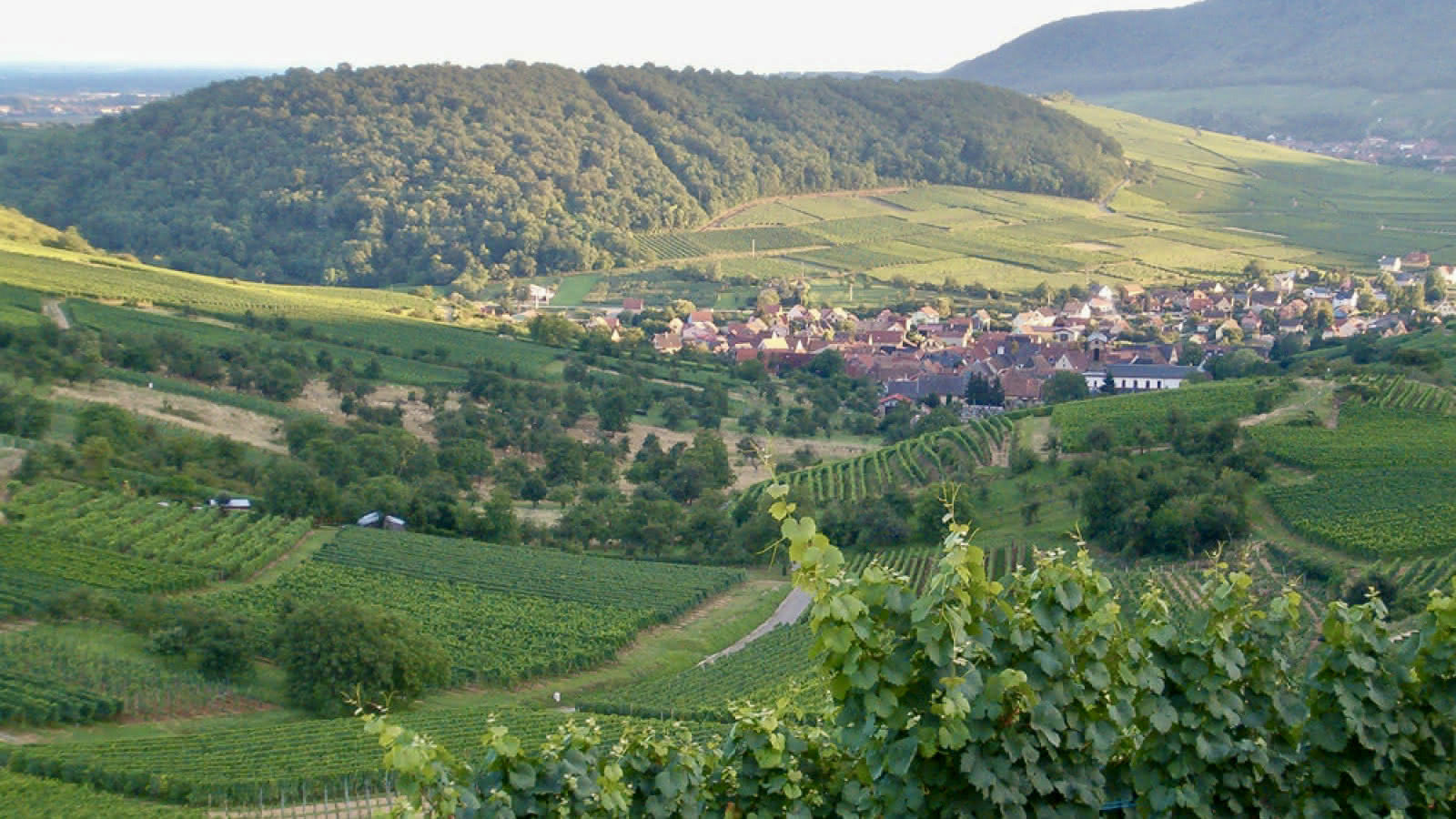
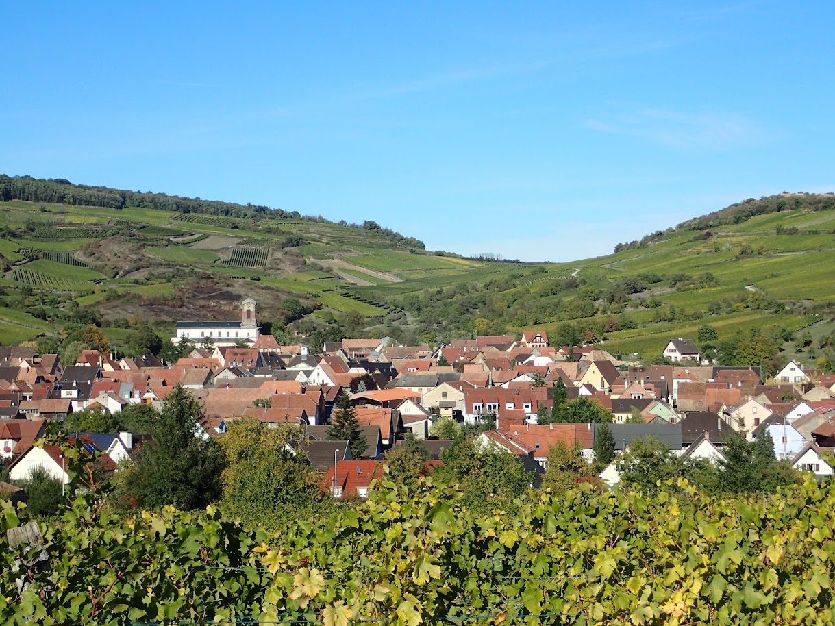
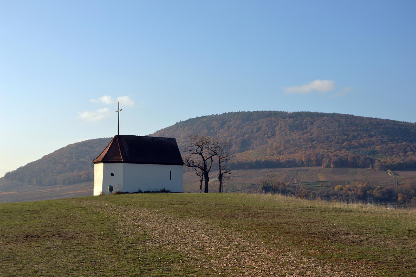
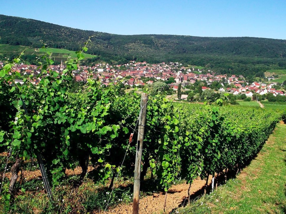
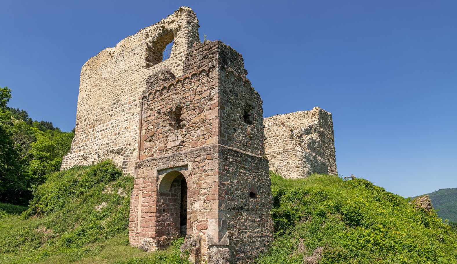
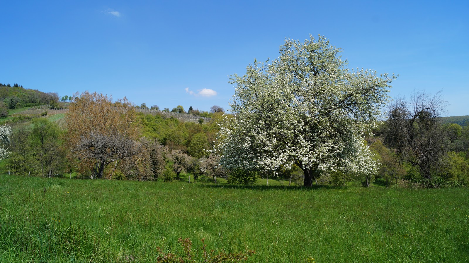
Here is a path that includes explanatory panels, which makes walkers discover all the geological diversity of the region. All this in a setting alternating between vineyards, meadows and undergrowth.

Already more than 200,000 users!
Uphill
134m
Highest point
442m
Downhill
134m
Lowest point
322m
Route type
Loop
Download the map on your smartphone to save battery and rest assured to always keep access to the route, even without signal.
Includes IGN France and Swisstopo.
I indicate whether dogs are allowed or prohibited on this trail
All year
0 ratings
Also enjoy:

Already more than 200,000 users!