Uphill
159m
Length
13km
Duration
3h30min
Elev gain
159m
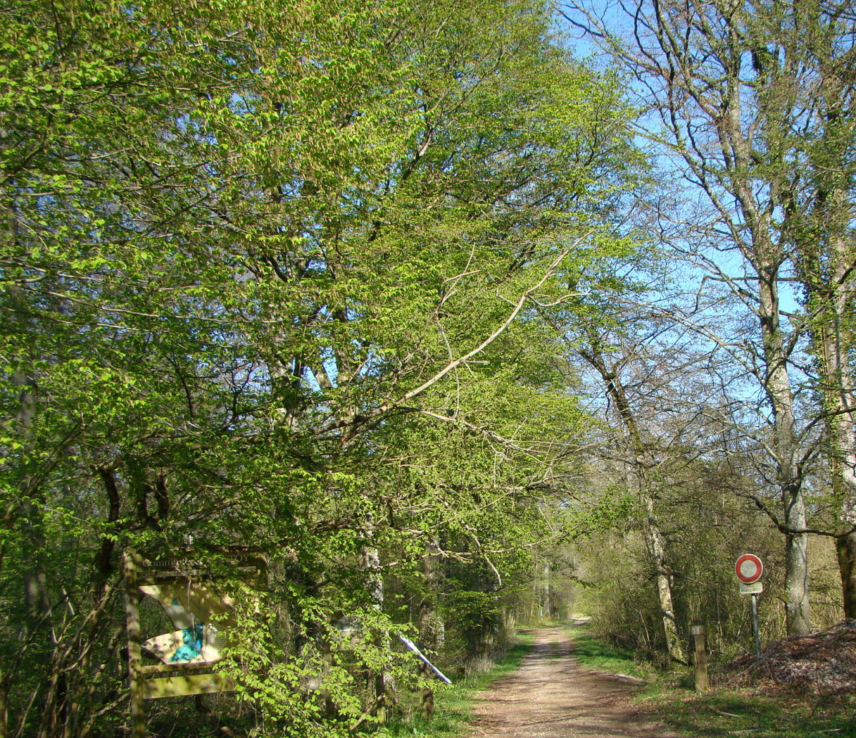
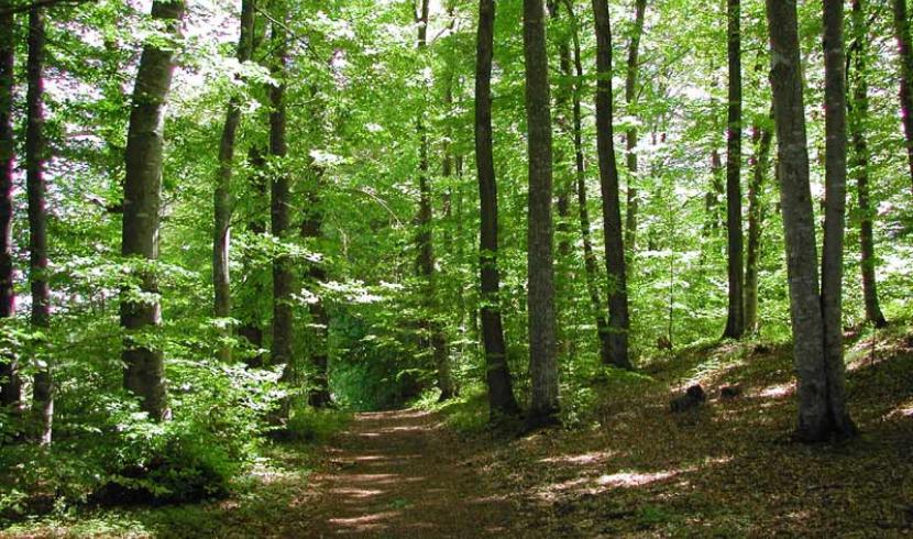
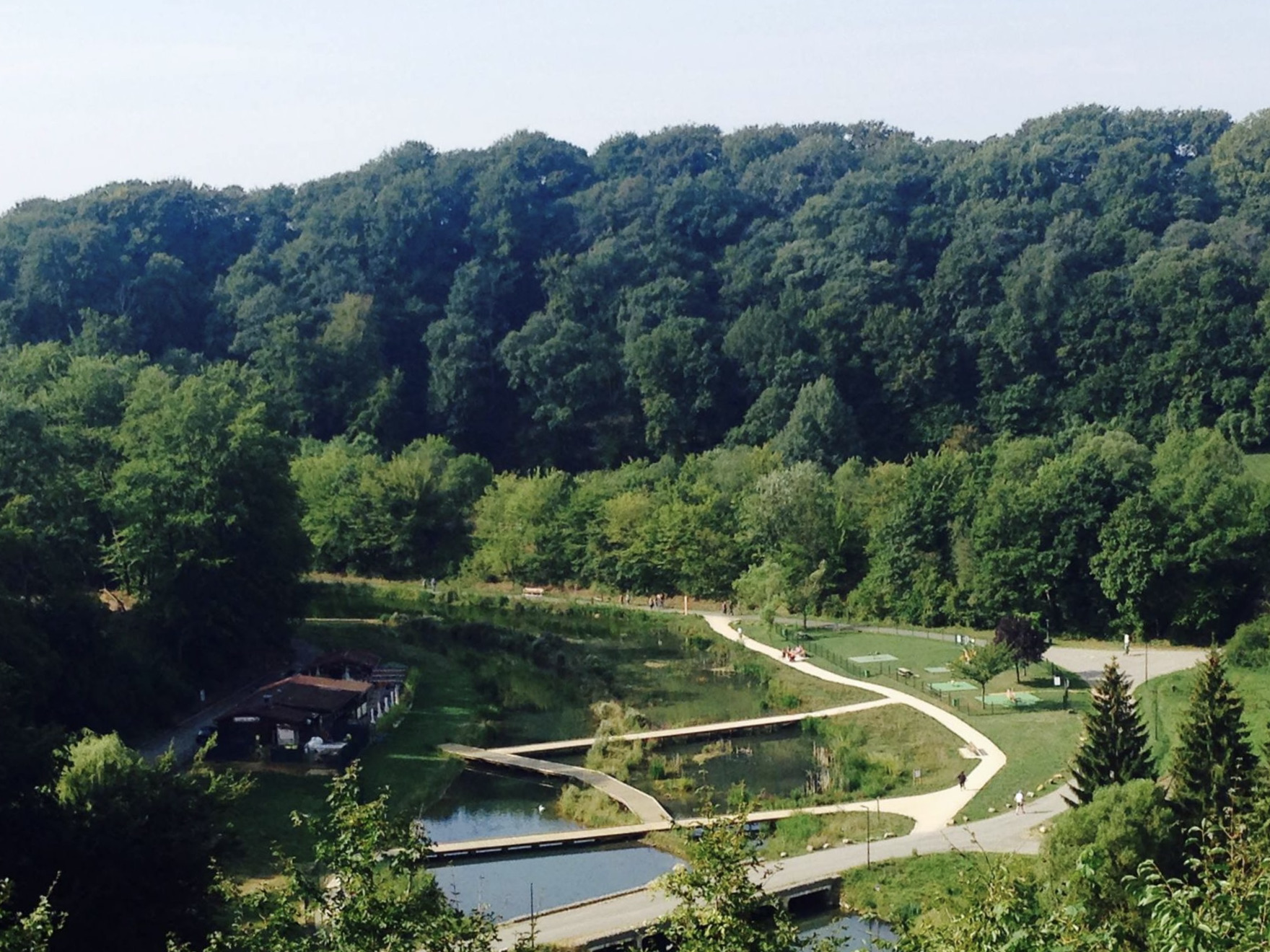
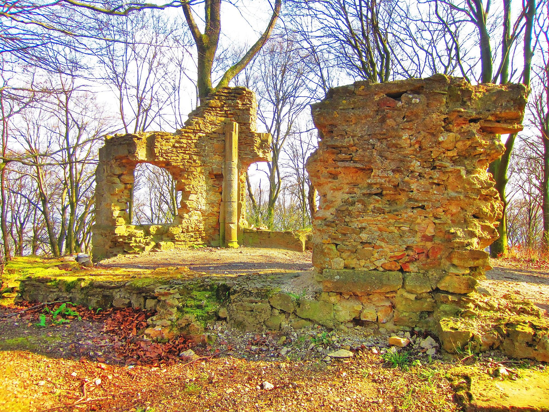
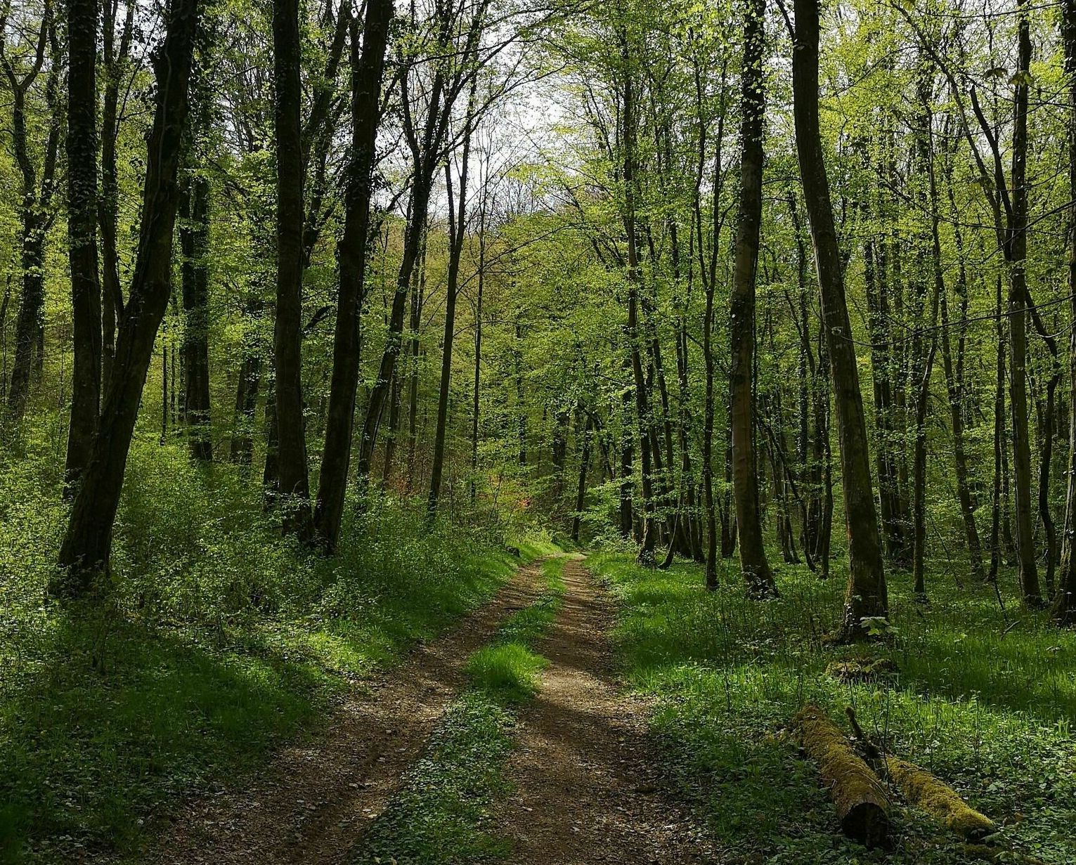
Departing from Serrouville, this route follows a path known as the "promenade des Rimonts". It runs along the Cruesnes in particular, and is almost entirely in the forest.

Already more than 200,000 users!
Uphill
159m
Highest point
391m
Downhill
159m
Lowest point
288m
Route type
Loop
Download the map on your smartphone to save battery and rest assured to always keep access to the route, even without signal.
Includes IGN France and Swisstopo.
I indicate whether dogs are allowed or prohibited on this trail
All year
0 ratings
Also enjoy:

Already more than 200,000 users!