Uphill
248m
Length
7km
Duration
2h30min
Elev gain
248m
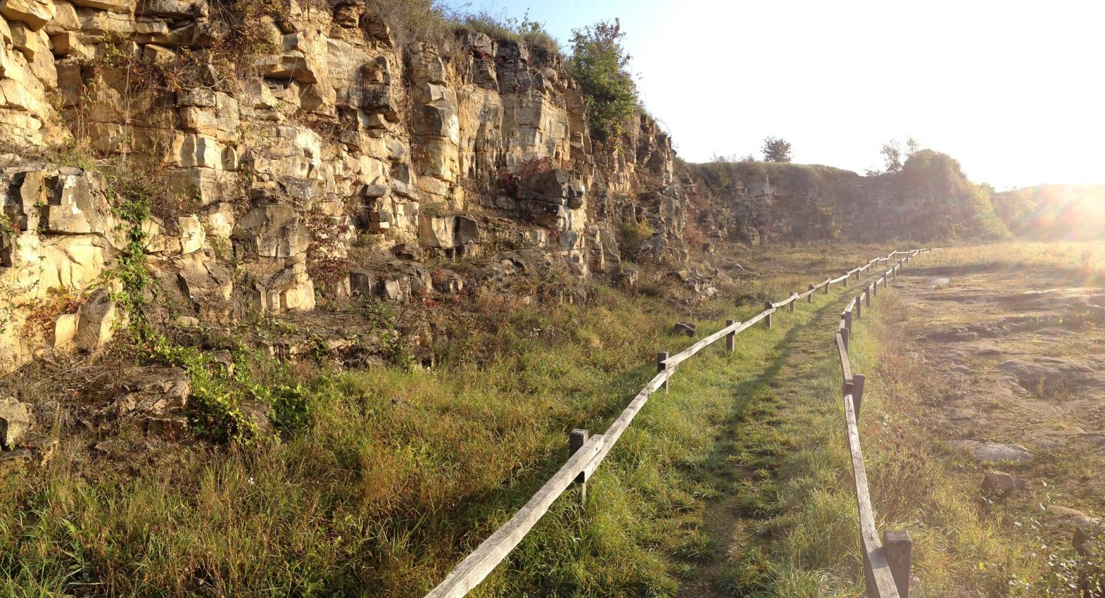
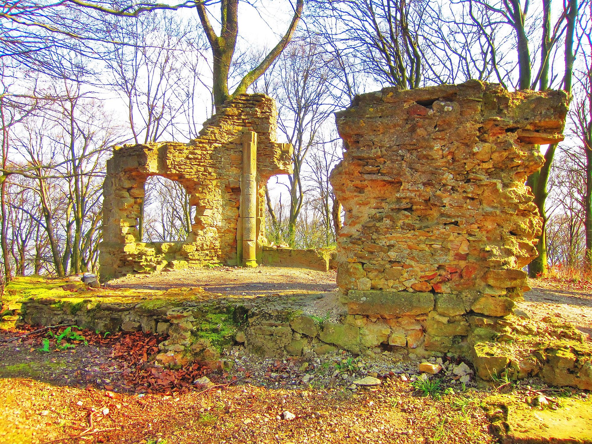
Departing from Beuvange-sous-Saint-Michel, this route runs along the Côte de Moselle to Mont Saint-Michel (391 m), where the ruins of a chapel are located.
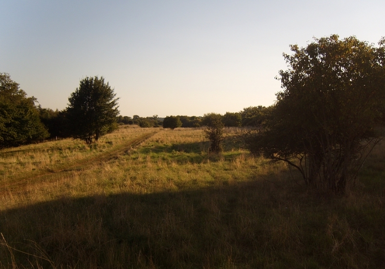
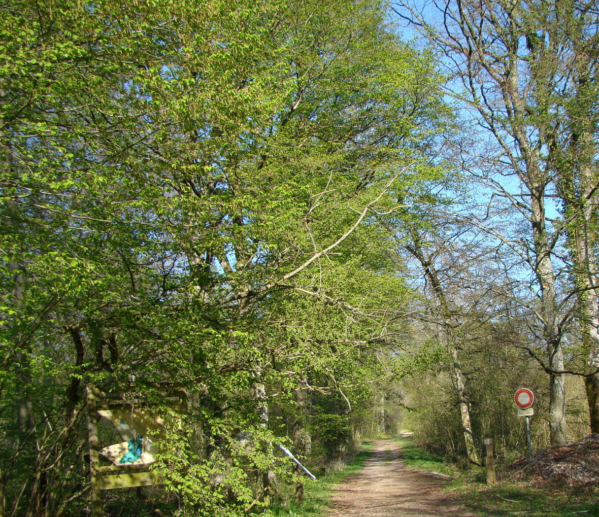
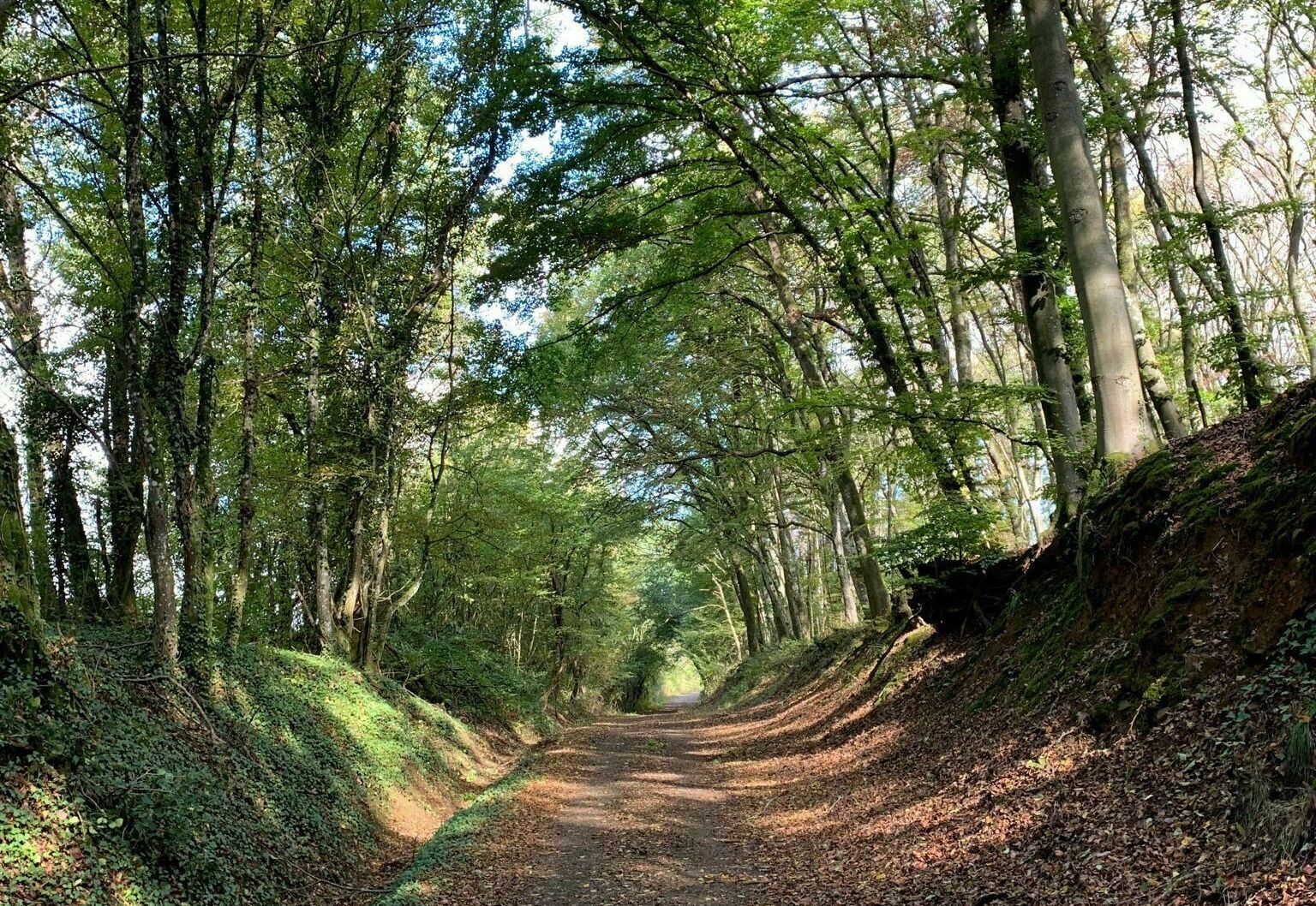
The trail alternates between undergrowth and countryside.

Already more than 200,000 users!
Uphill
248m
Highest point
394m
Downhill
248m
Lowest point
201m
Route type
Loop
Download the map on your smartphone to save battery and rest assured to always keep access to the route, even without signal.
Includes IGN France and Swisstopo.
I indicate whether dogs are allowed or prohibited on this trail
All year
2 ratings
Also enjoy:

Already more than 200,000 users!