Uphill
120m

Length
8km
Duration
2h
Elev gain
120m
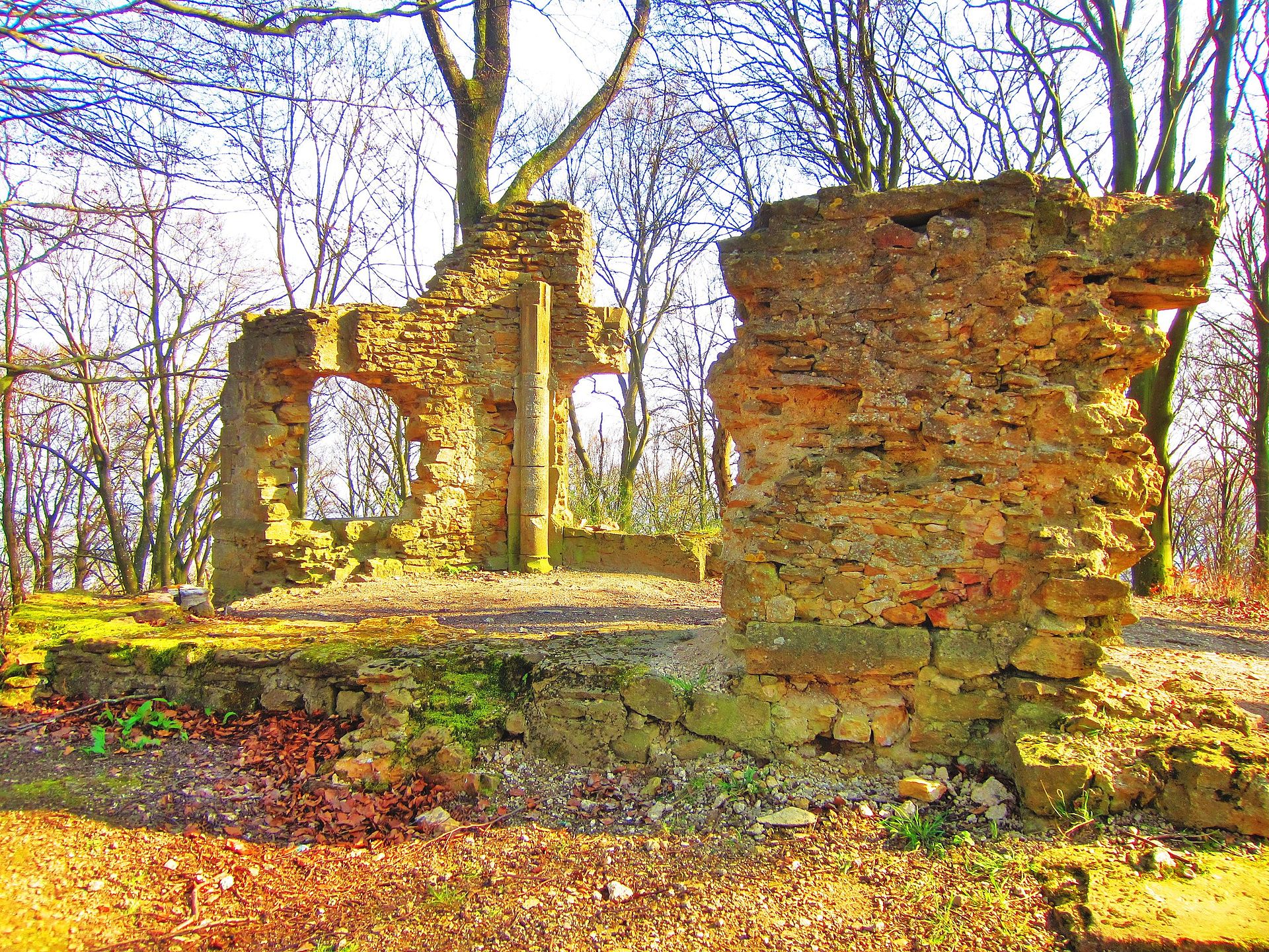
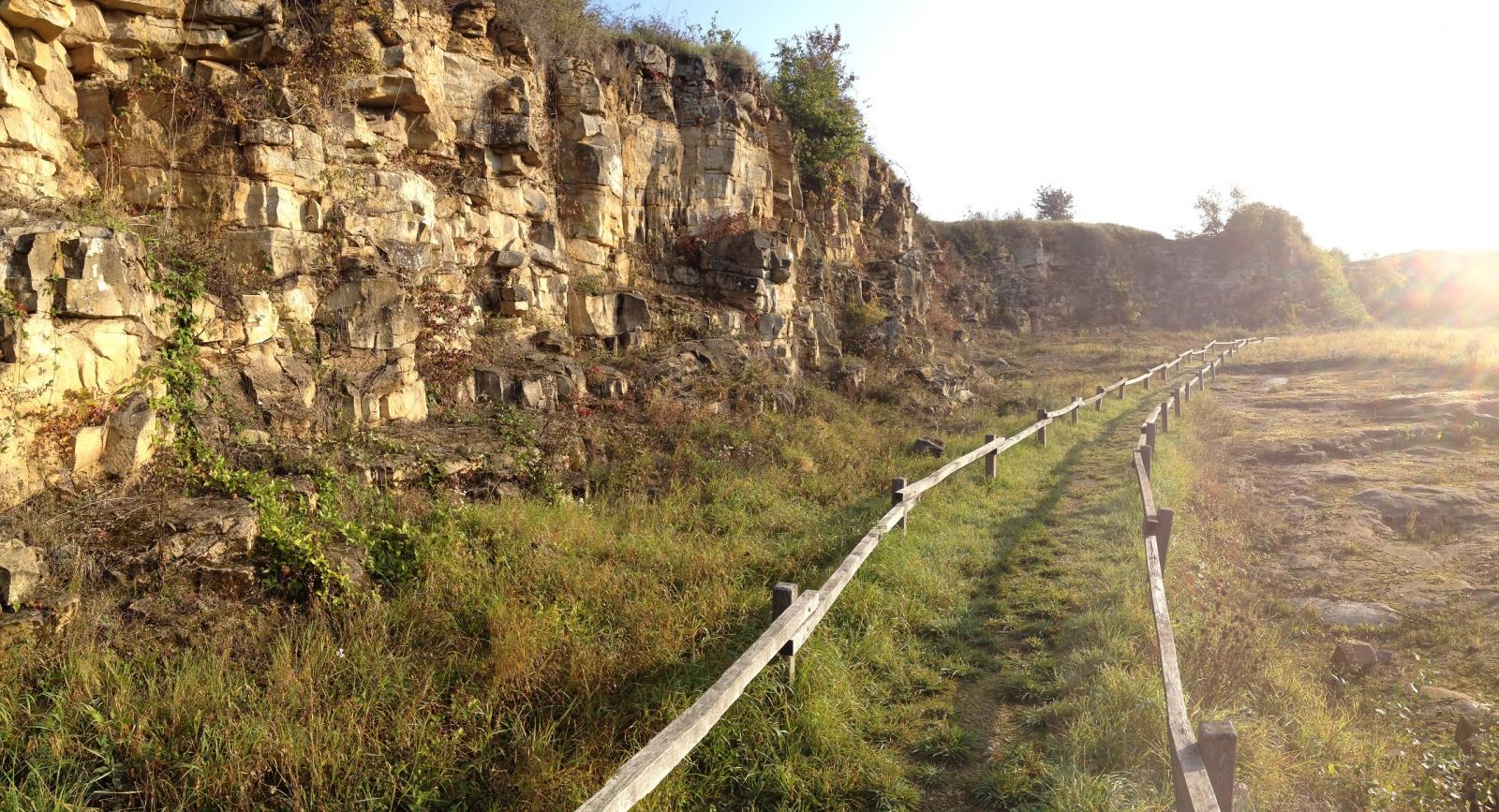
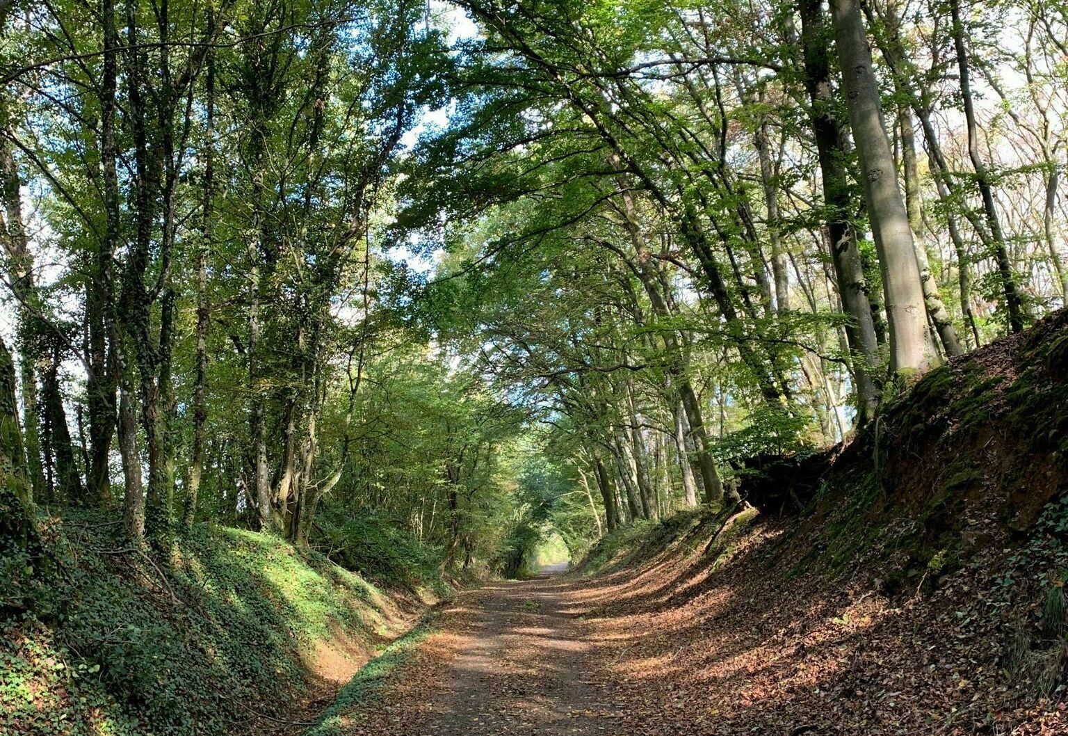
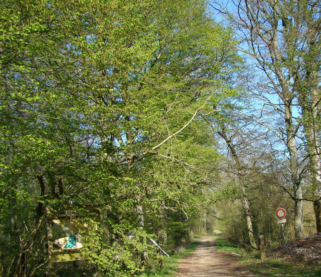
This is a marked trail entirely in the forest. A stretch of it is part of the "Beerenweg" path, which allows you to discover the local fauna and flora.

Already more than 200,000 users!
Uphill
120m
Highest point
314m
Downhill
120m
Lowest point
205m
Route type
Loop
Download the map on your smartphone to save battery and rest assured to always keep access to the route, even without signal.
Includes IGN France and Swisstopo.
0 ratings
Also enjoy:

Already more than 200,000 users!