Uphill
50m
Length
3km
Duration
1h
Elev gain
50m
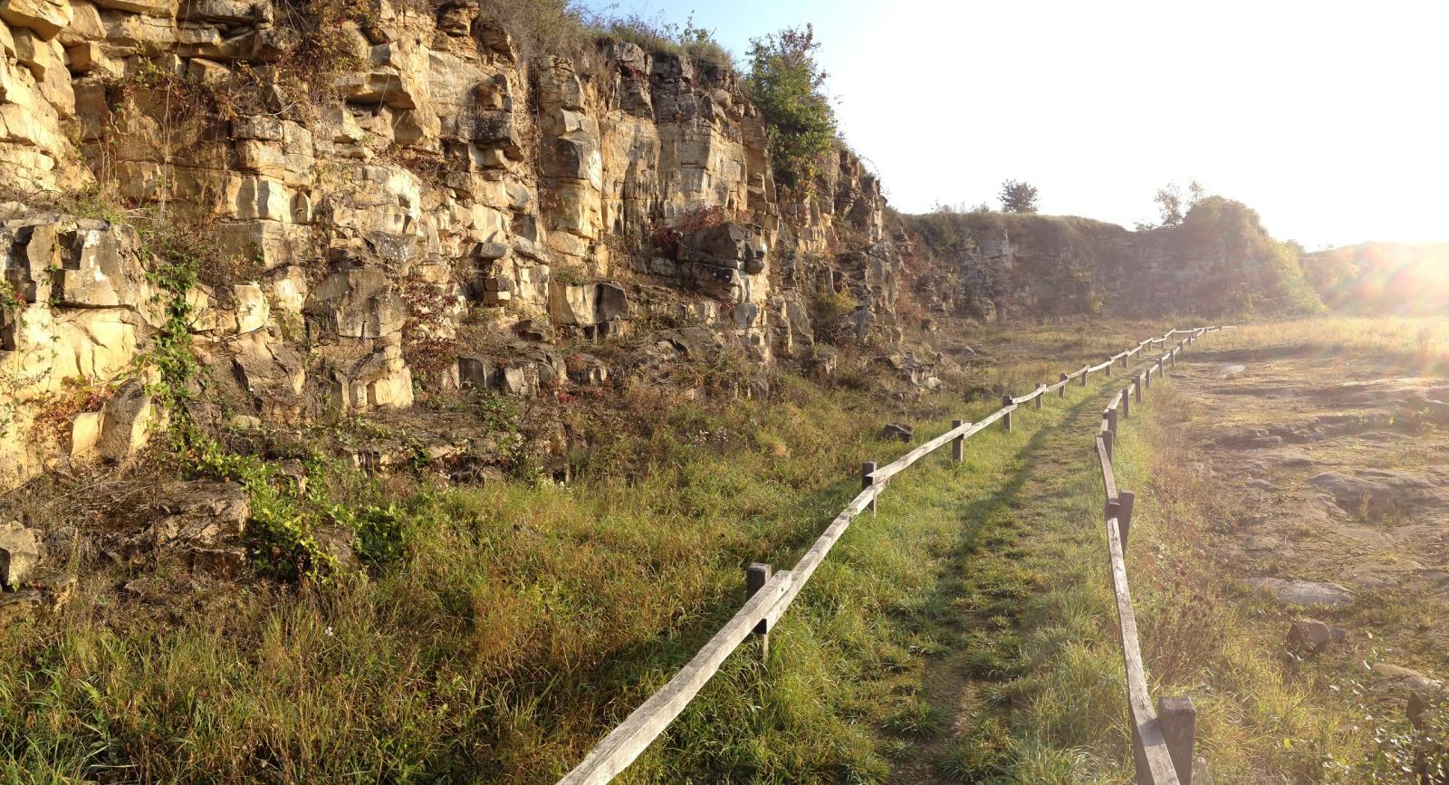
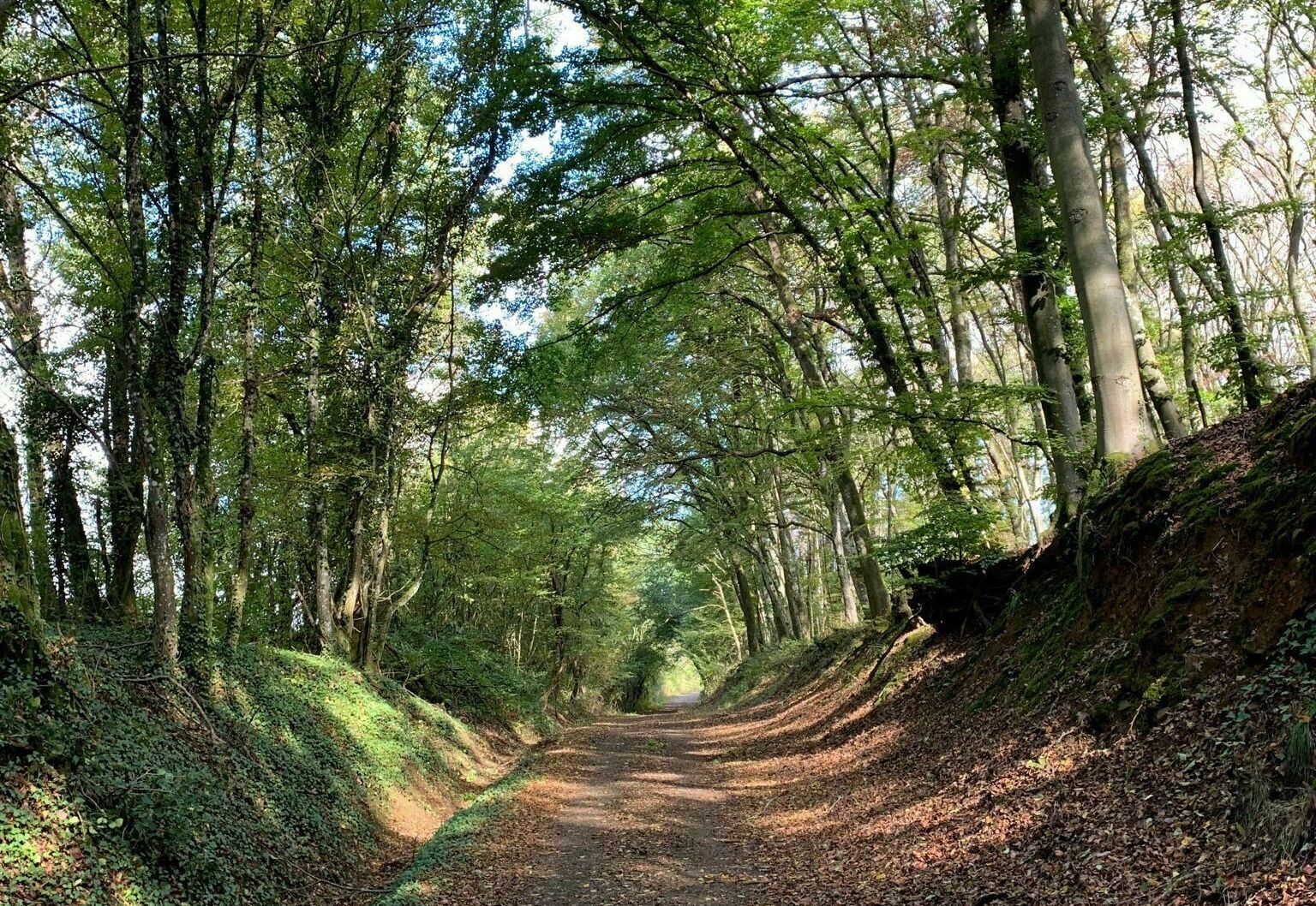
Here is a short loop trail in the forest of Boust, which has the advantage of presenting a path bordering the Klingenbach stream.

Already more than 200,000 users!
Uphill
50m
Highest point
244m
Downhill
50m
Lowest point
199m
Route type
Loop
Download the map on your smartphone to save battery and rest assured to always keep access to the route, even without signal.
Includes IGN France and Swisstopo.
I indicate whether dogs are allowed or prohibited on this trail
All year
0 ratings
Also enjoy:

Already more than 200,000 users!