Uphill
240m
Length
12km
Duration
3h30min
Elev gain
240m
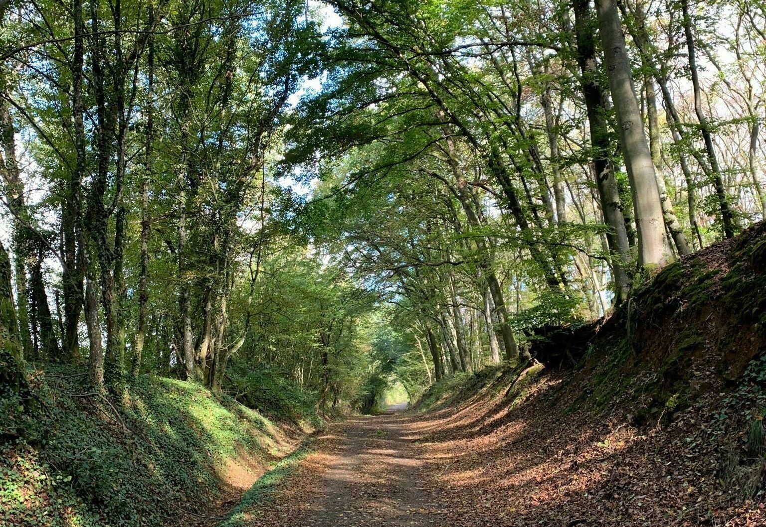
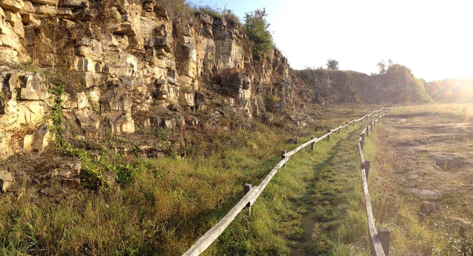
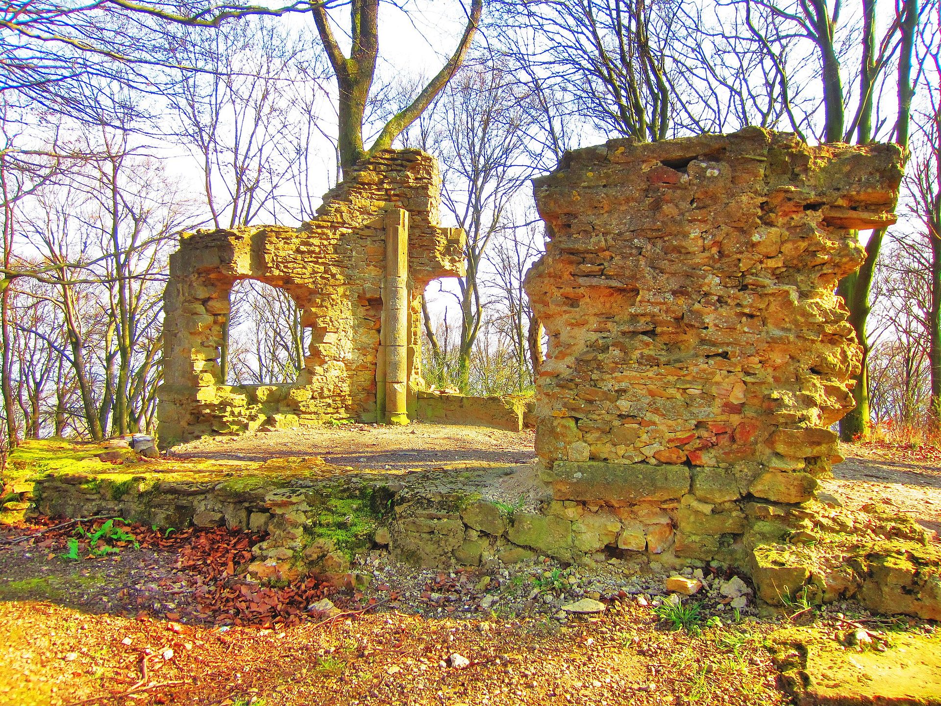
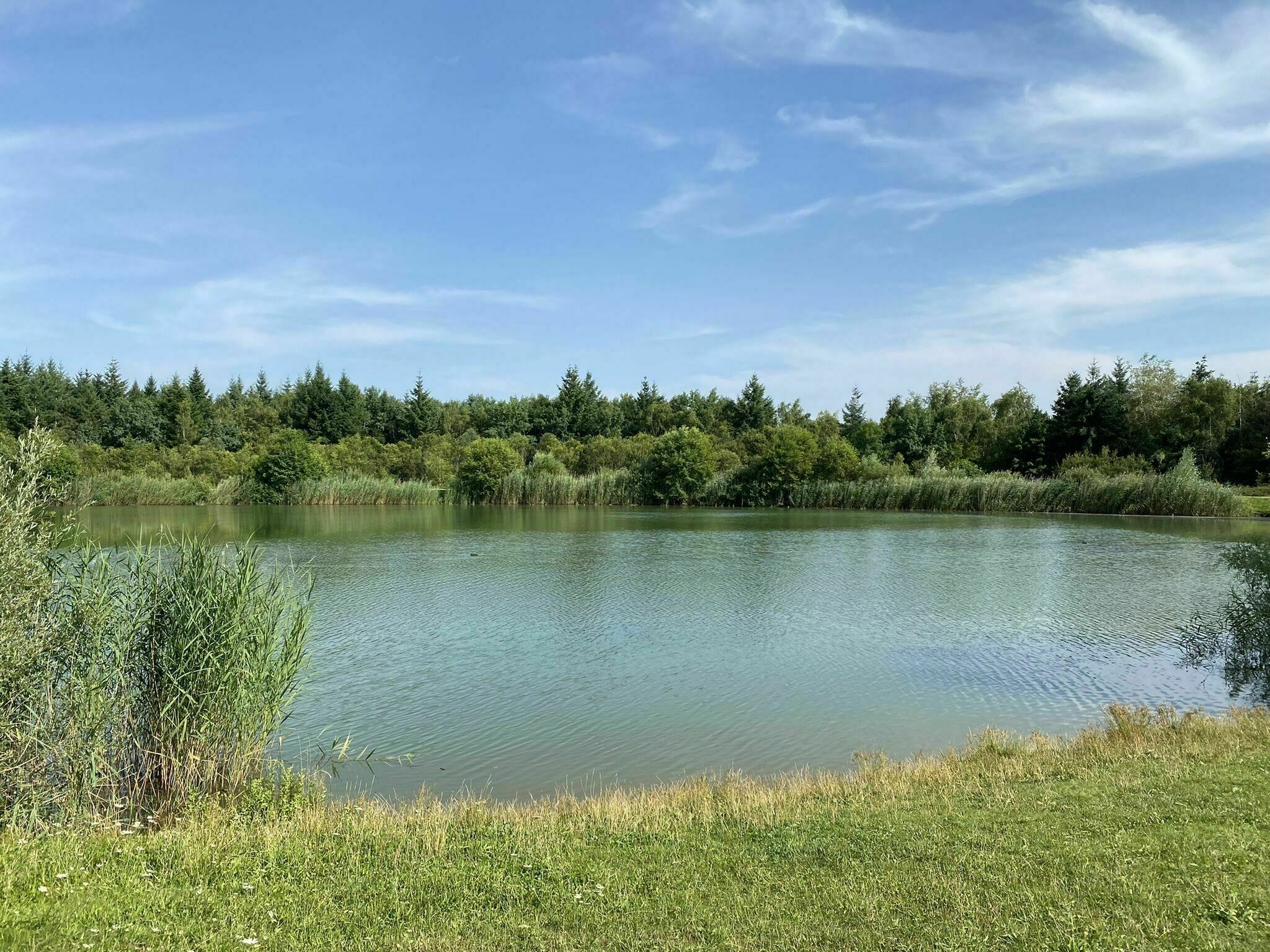
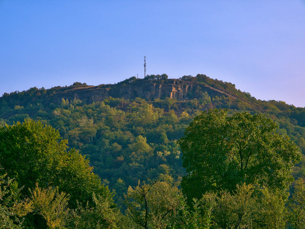
Starting from Montenach, this hike presents varied landscapes between forests, fields and hamlets.
There are also many viewpoints over the Moselle valley, the Stromberg and the Château de Sierck.

Already more than 200,000 users!
Uphill
240m
Highest point
320m
Downhill
240m
Lowest point
140m
Route type
Loop
Download the map on your smartphone to save battery and rest assured to always keep access to the route, even without signal.
Includes IGN France and Swisstopo.
Parking at the start of the hike.
Gare de Sierck-les-Bains (TER) is also on the route.
I indicate whether dogs are allowed or prohibited on this trail
All year
2 ratings
Also enjoy:

Already more than 200,000 users!