Uphill
104m
Length
7km
Duration
2h
Elev gain
104m
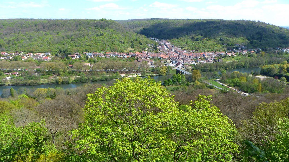
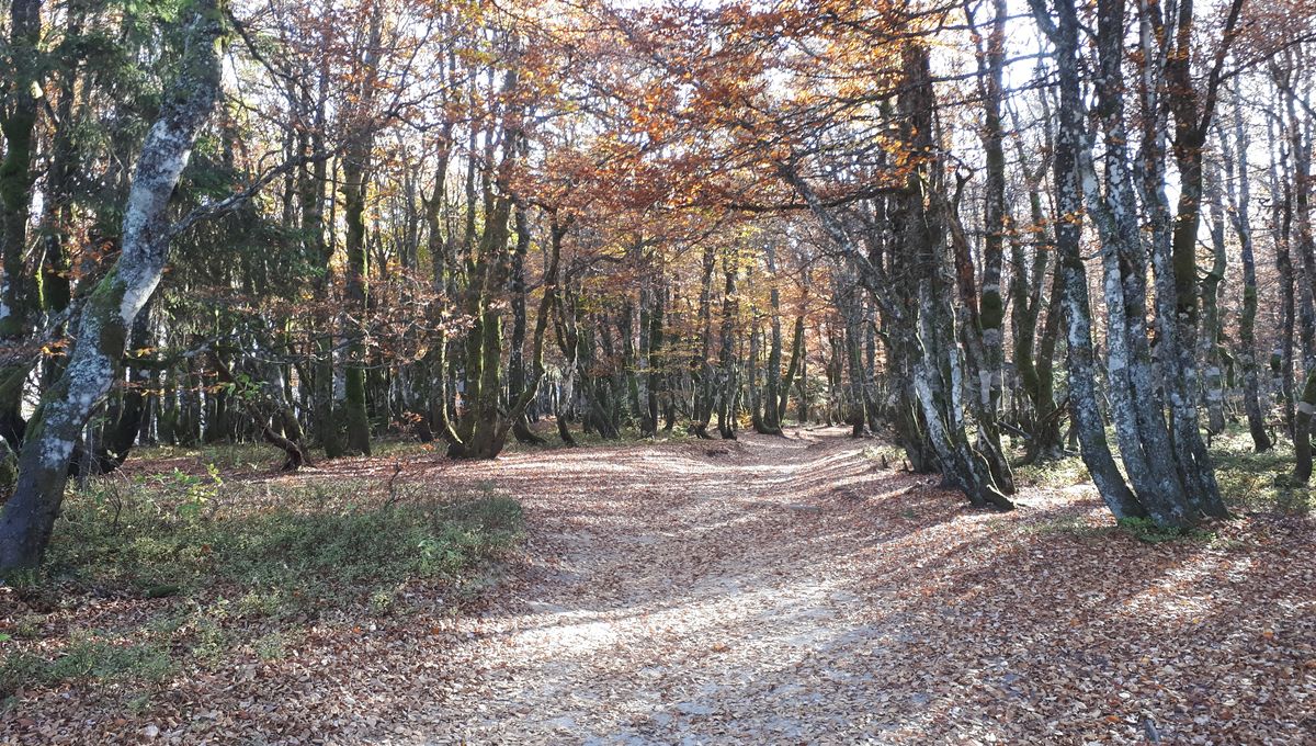
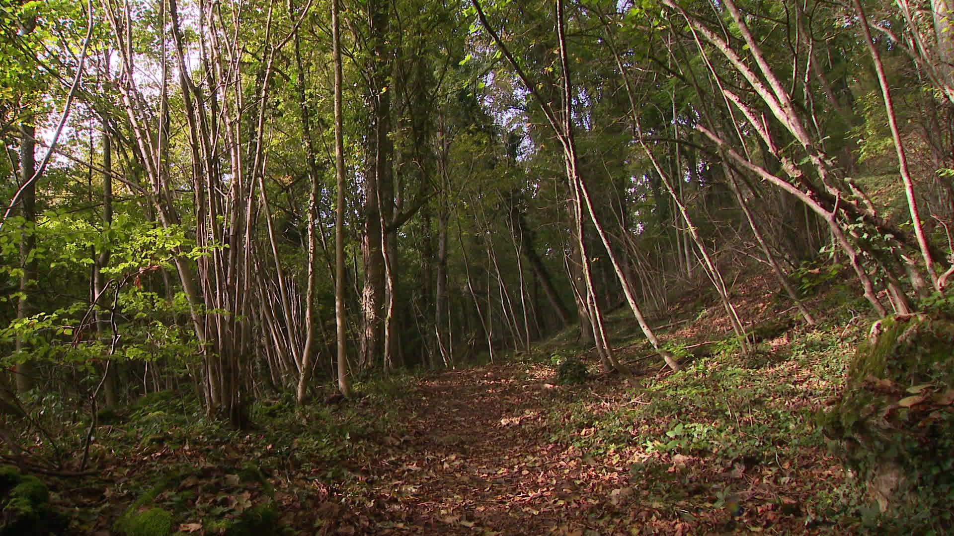
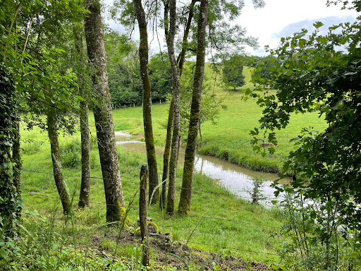
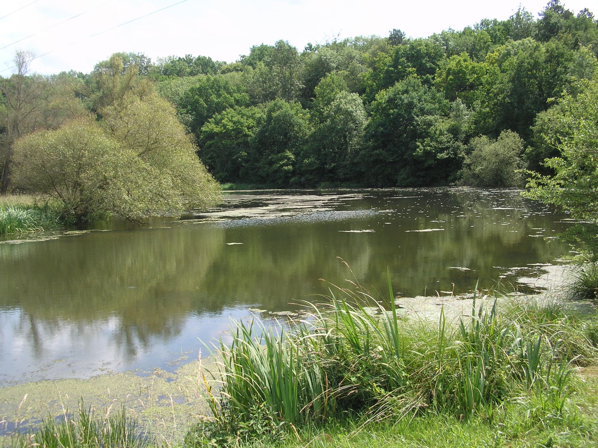
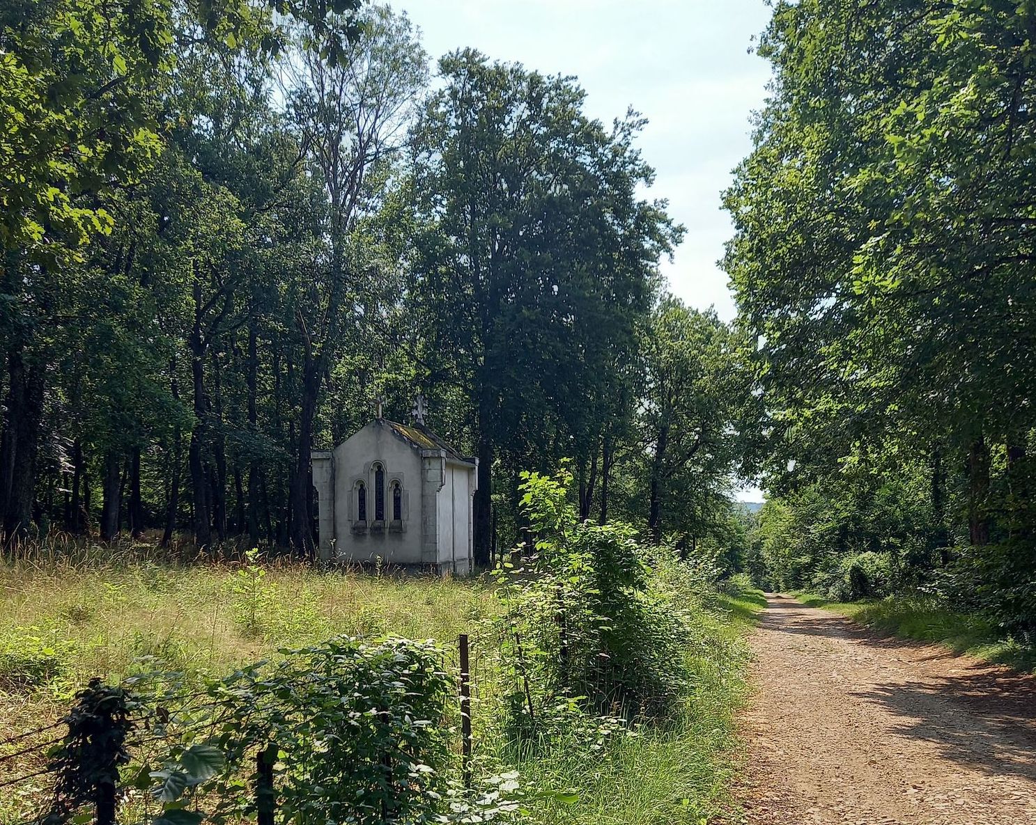
Stroll on the beautiful marked circuit of the Sources. Between forest and springs, this route allows a beautiful immersion in nature and offers the possibility of picnicking.

Already more than 200,000 users!
Uphill
104m
Highest point
337m
Downhill
104m
Lowest point
261m
Route type
Loop
Download the map on your smartphone to save battery and rest assured to always keep access to the route, even without signal.
Includes IGN France and Swisstopo.
I indicate whether dogs are allowed or prohibited on this trail
All year
1 rating
Bonjour petite randonnée très sympa pas très difficile dans les bois chemin bien balisé
Also enjoy:

Already more than 200,000 users!