Uphill
320m
Length
20km
Duration
6h
Elev gain
320m
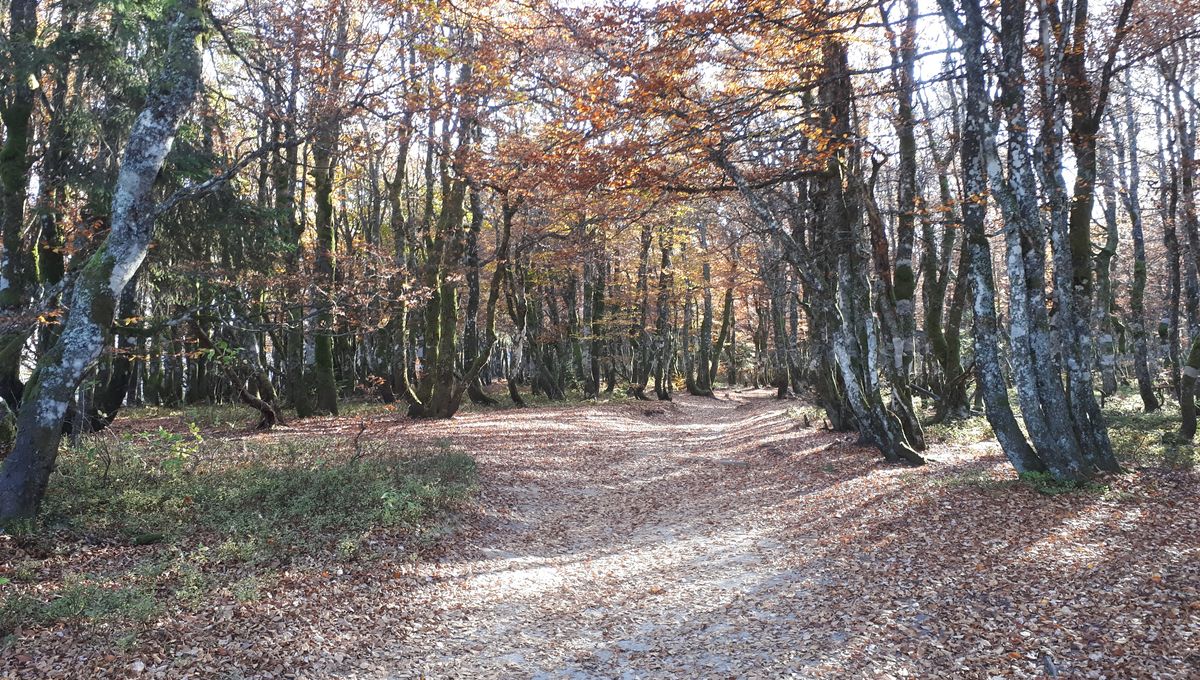
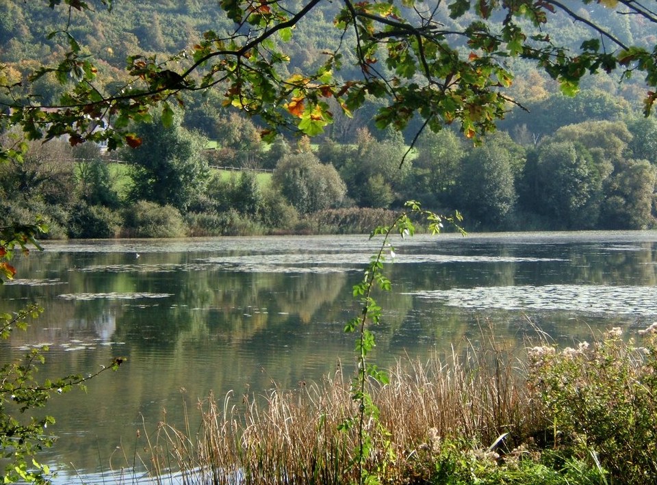
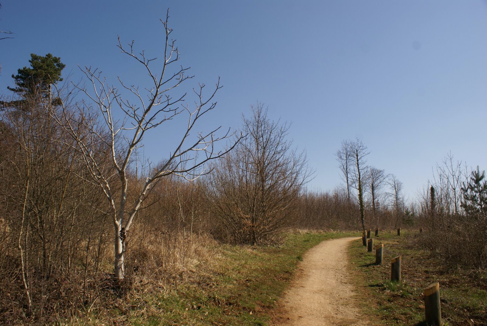
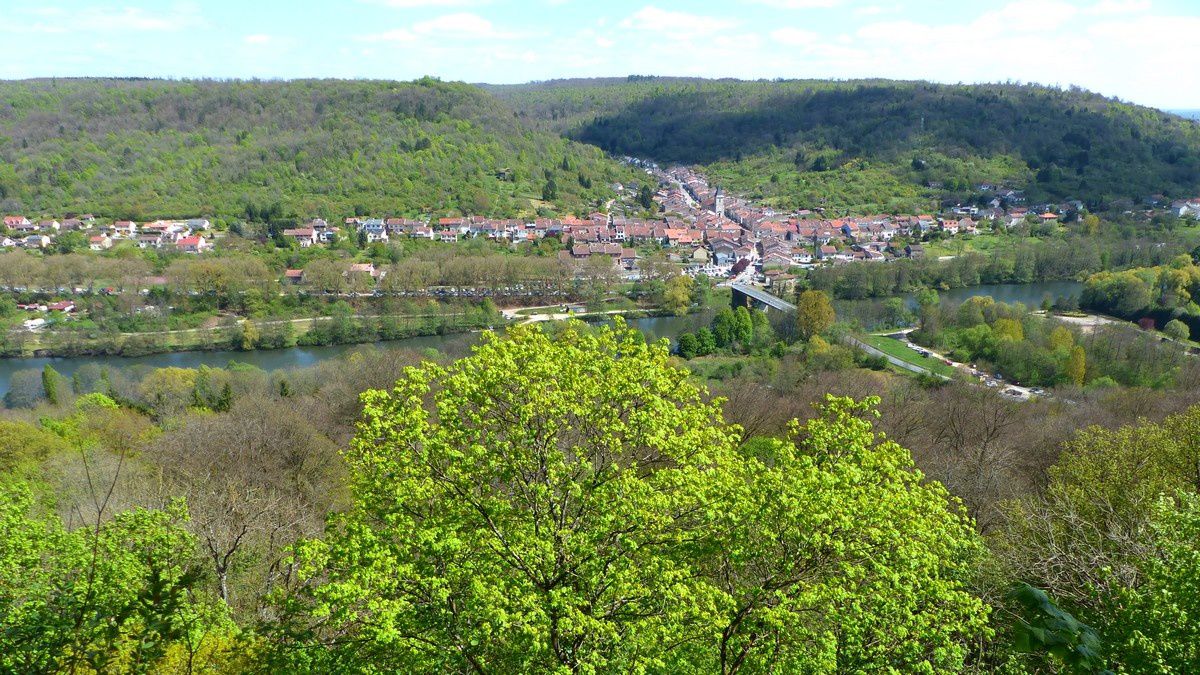
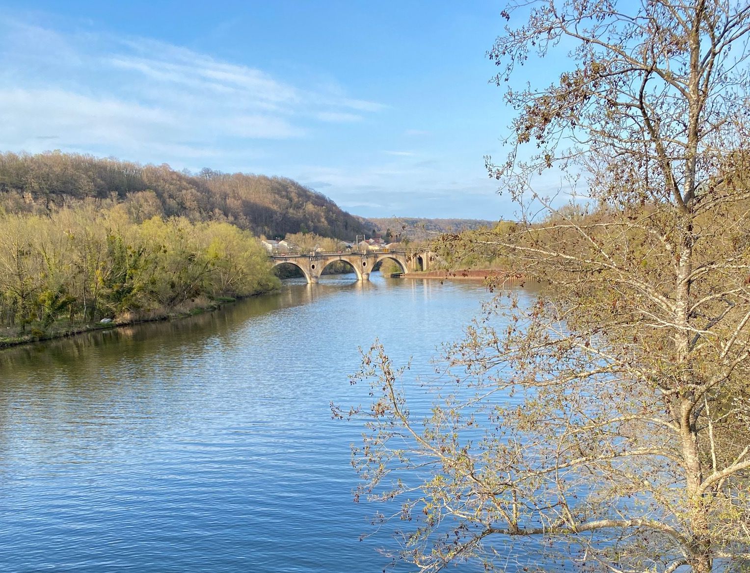
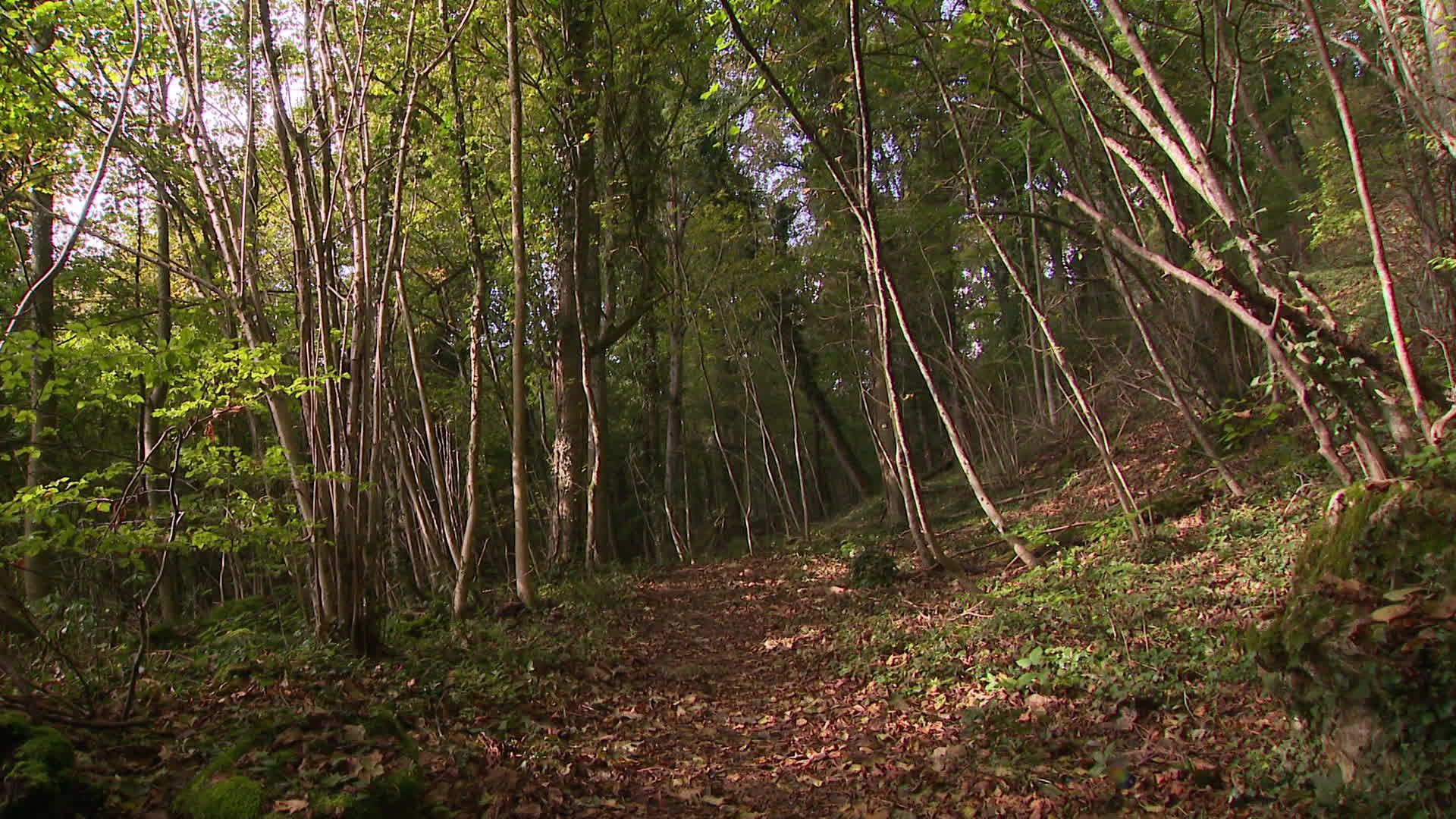
Challenging hike from Villers-lès-Nancy. The route makes a loop in the national forest of Haye and passes very close to Chavigny before returning to the starting point. A good physical condition is necessary for this walk.

Already more than 200,000 users!
Uphill
320m
Highest point
422m
Downhill
320m
Lowest point
300m
Route type
Loop
Download the map on your smartphone to save battery and rest assured to always keep access to the route, even without signal.
Includes IGN France and Swisstopo.
I indicate whether dogs are allowed or prohibited on this trail
All year
0 ratings
Also enjoy:

Already more than 200,000 users!