Uphill
169m
Length
12km
Duration
3h30min
Elev gain
169m
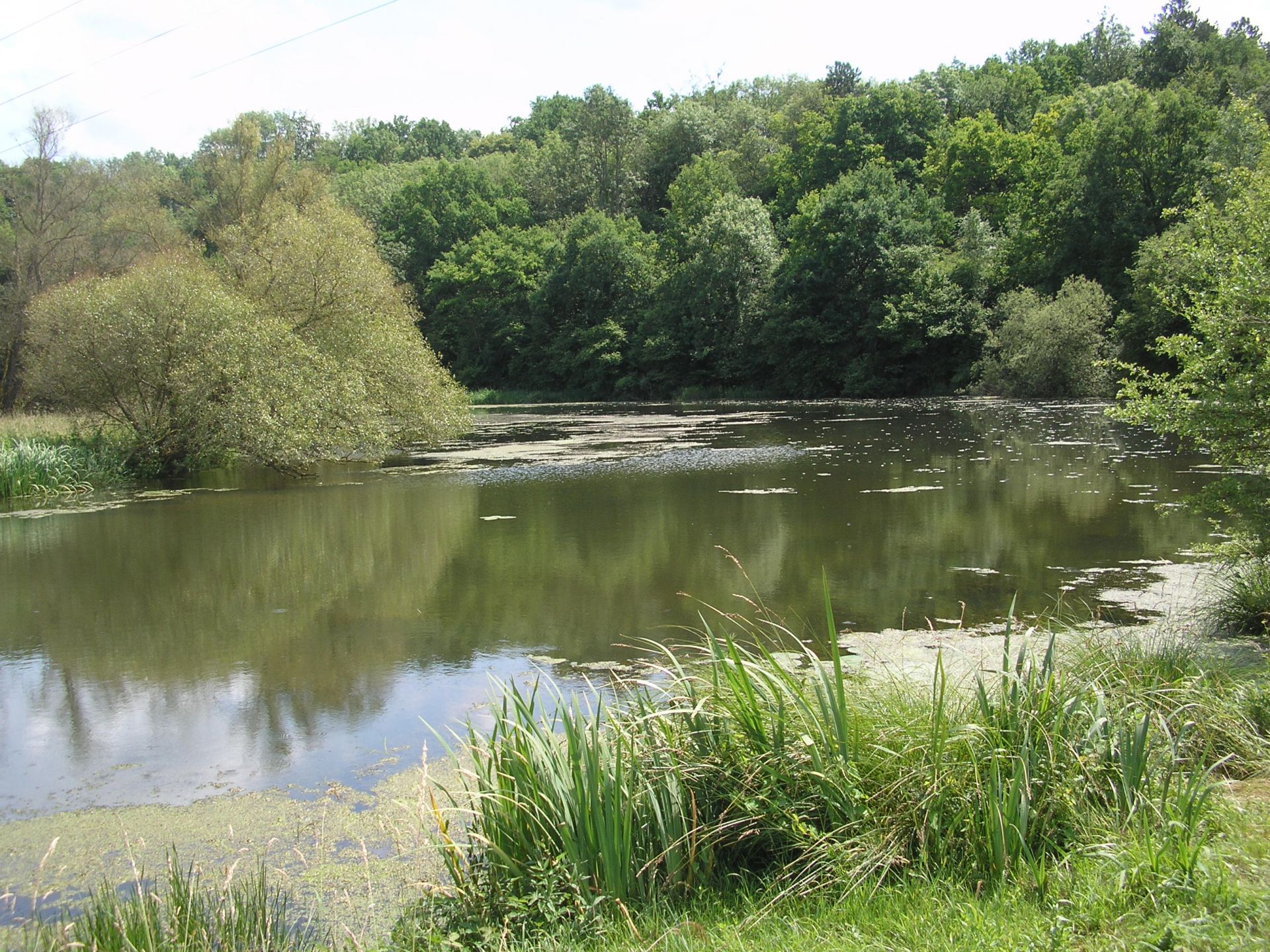
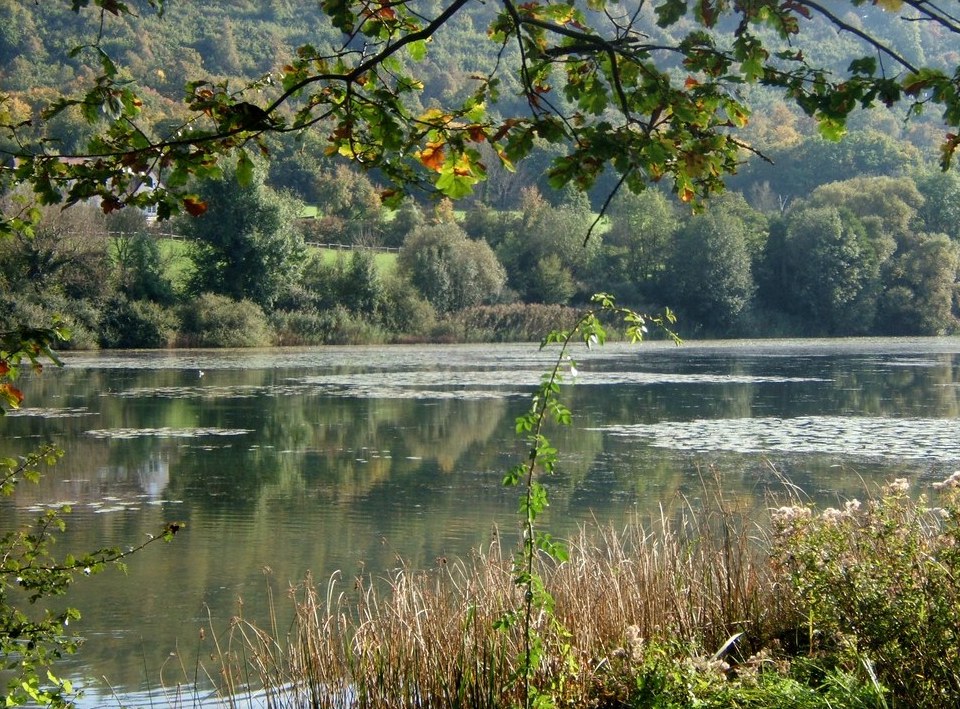
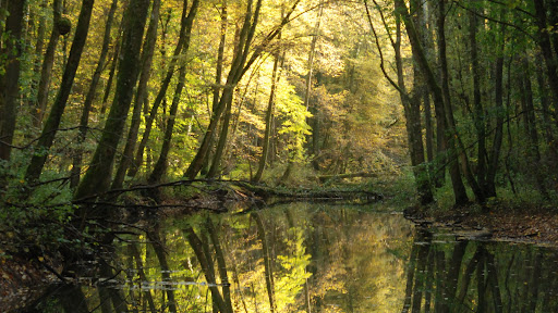
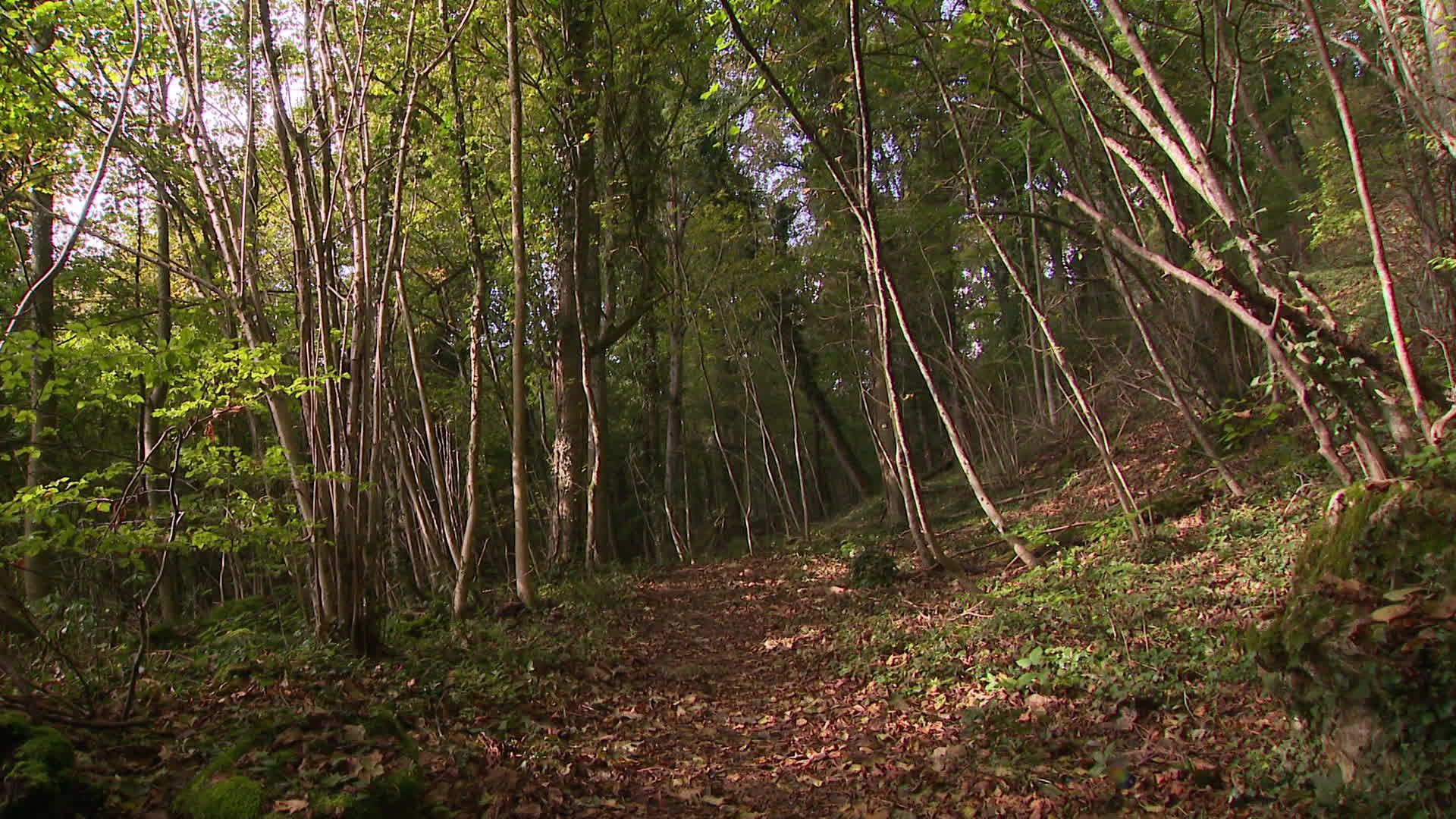
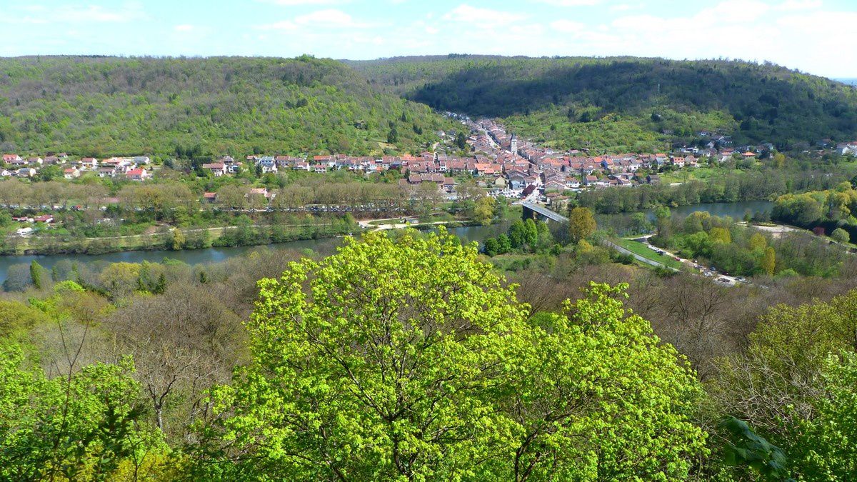
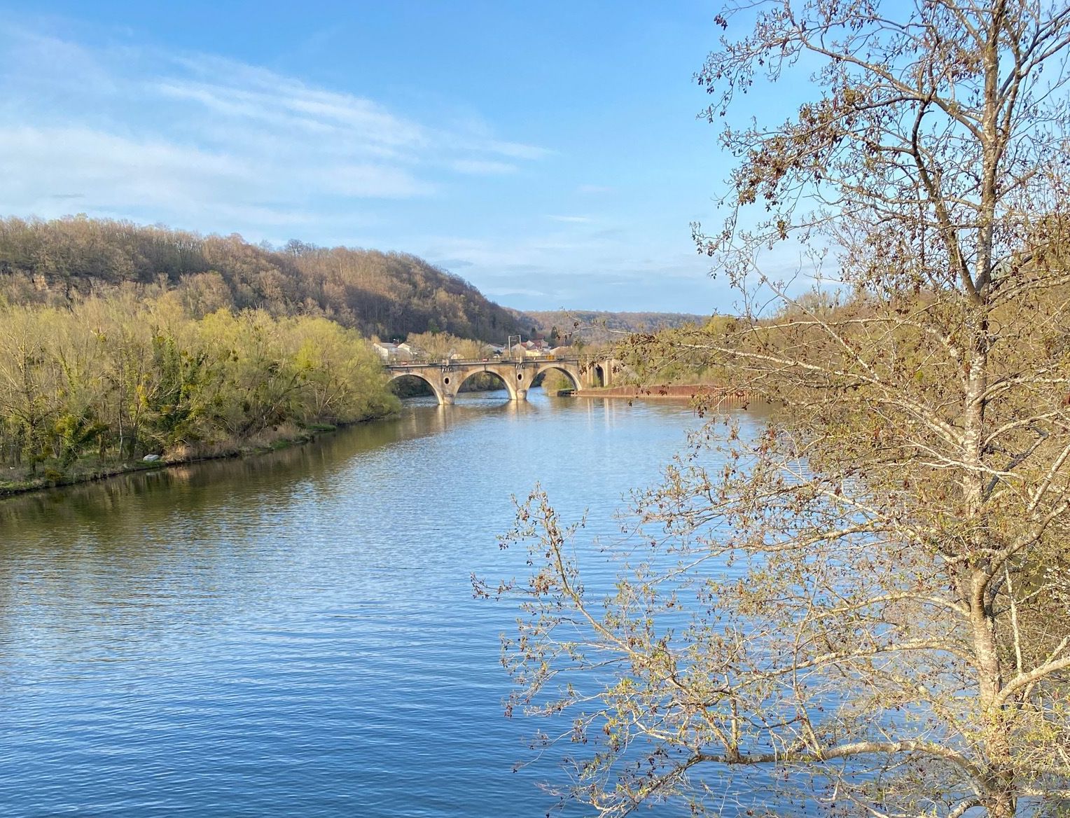
Nice hike in the forest near Liverdun, a fortified medieval village. The route crosses the Moselle and initially takes a departmental road, before entering the forest on smaller paths.

Already more than 200,000 users!
Uphill
169m
Highest point
342m
Downhill
169m
Lowest point
190m
Route type
Loop
Download the map on your smartphone to save battery and rest assured to always keep access to the route, even without signal.
Includes IGN France and Swisstopo.
I indicate whether dogs are allowed or prohibited on this trail
All year
0 ratings
Also enjoy:

Already more than 200,000 users!