Uphill
140m
Length
7km
Duration
2h
Elev gain
140m
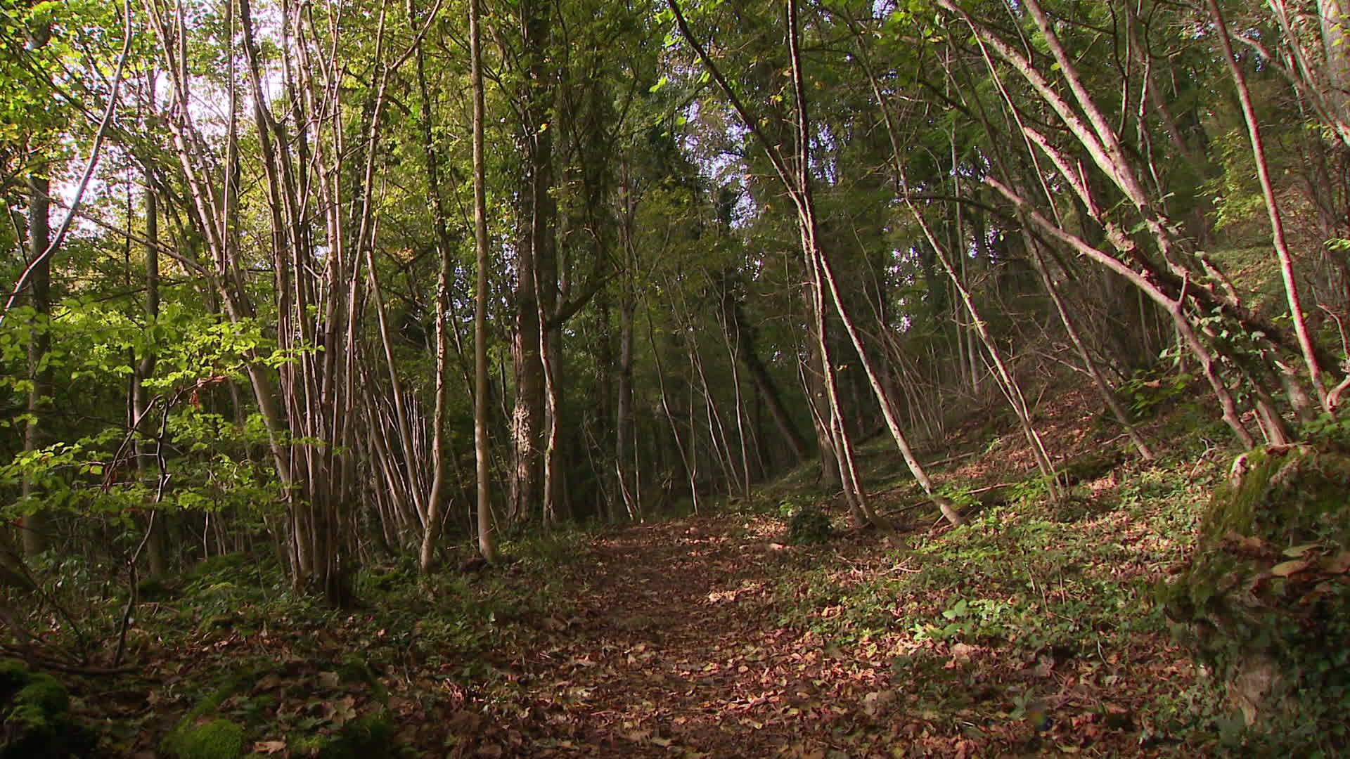
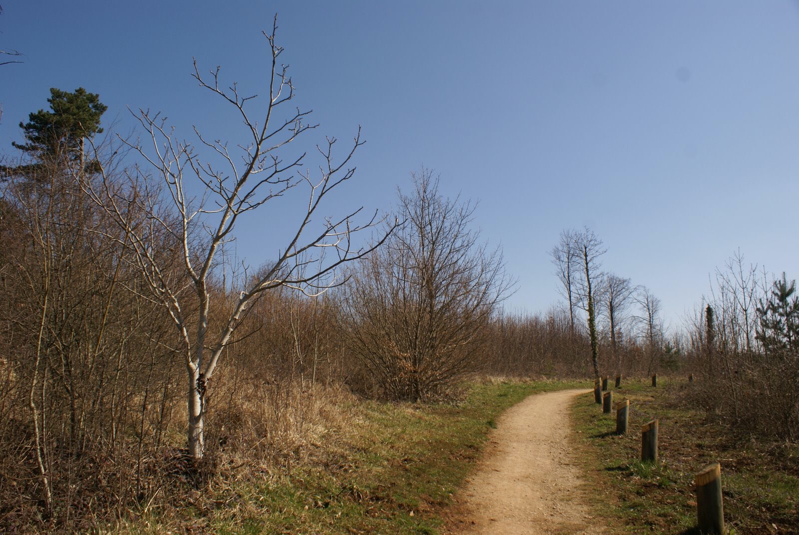
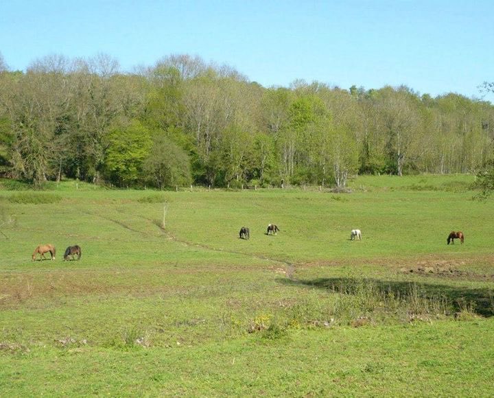
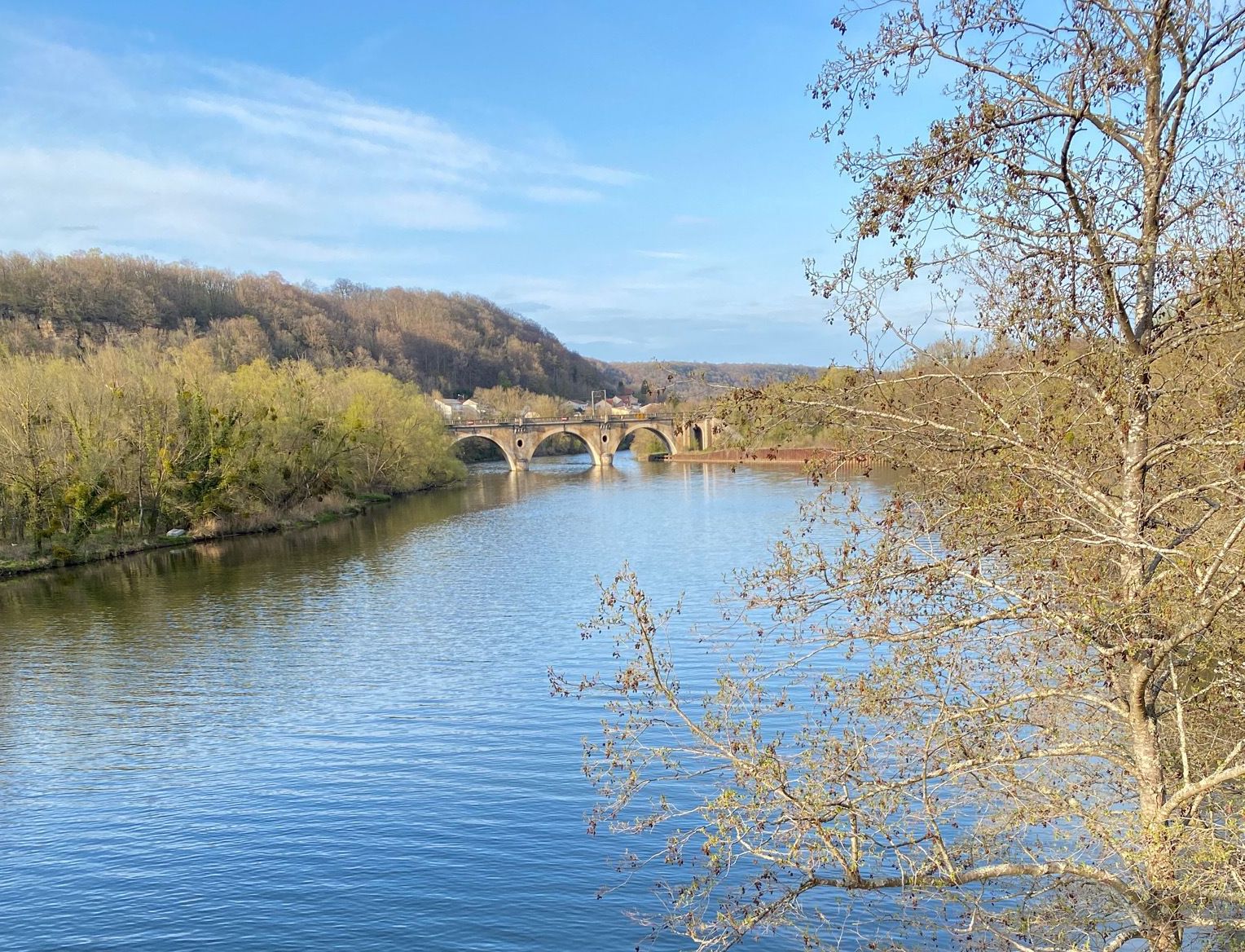
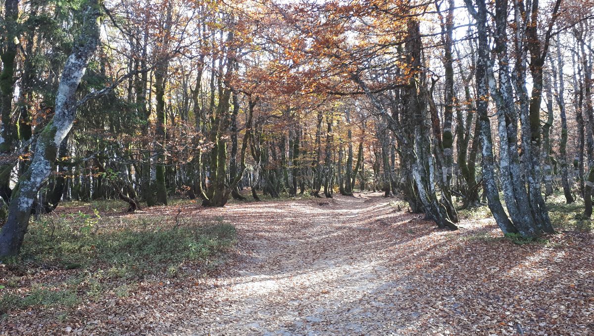
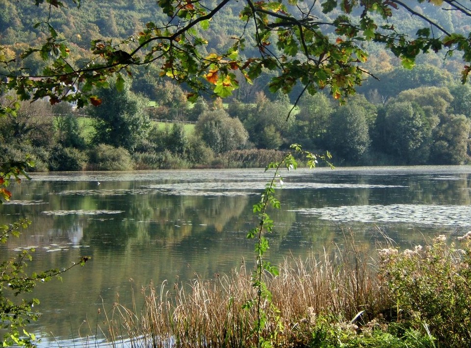
Pleasant walk from Bel'Étang in Champigneulles. The route makes a loop mainly in the forest and gains height in order to offer beautiful viewpoints.

Already more than 200,000 users!
Uphill
140m
Highest point
348m
Downhill
140m
Lowest point
207m
Route type
Loop
Download the map on your smartphone to save battery and rest assured to always keep access to the route, even without signal.
Includes IGN France and Swisstopo.
I indicate whether dogs are allowed or prohibited on this trail
All year
2 ratings
Also enjoy:

Already more than 200,000 users!