Uphill
296m
Length
10km
Duration
3h30min
Elev gain
296m
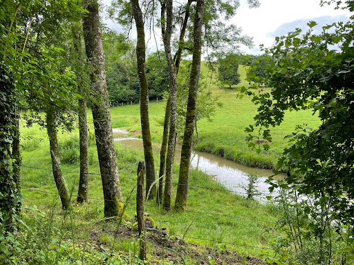
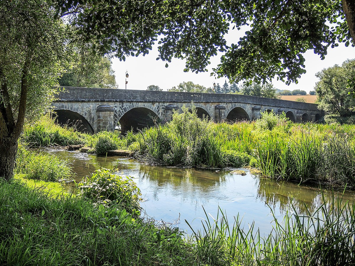
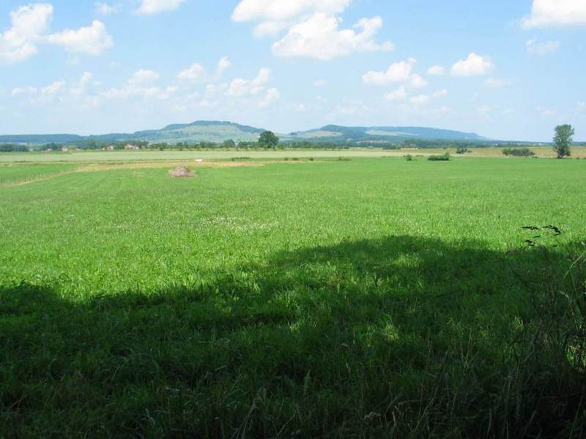
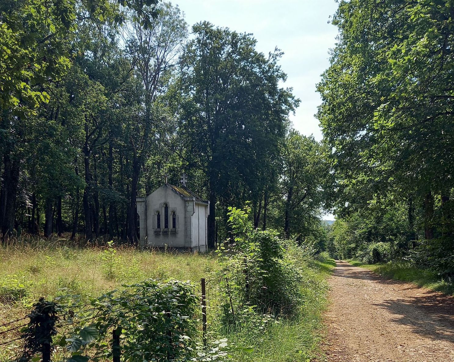
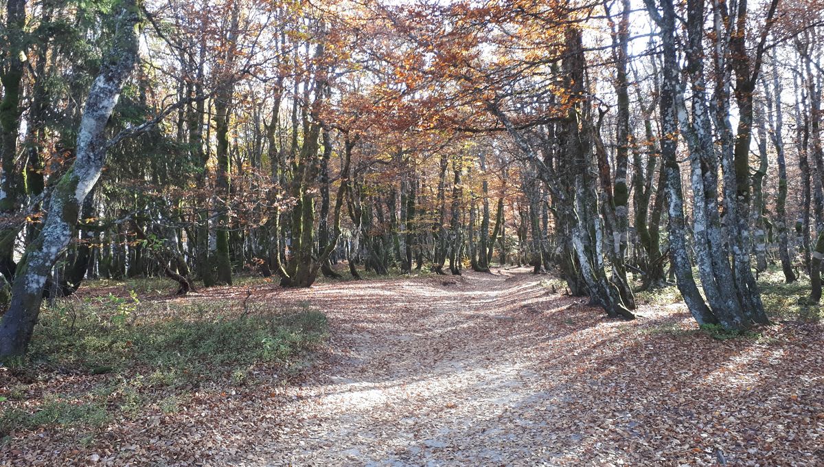
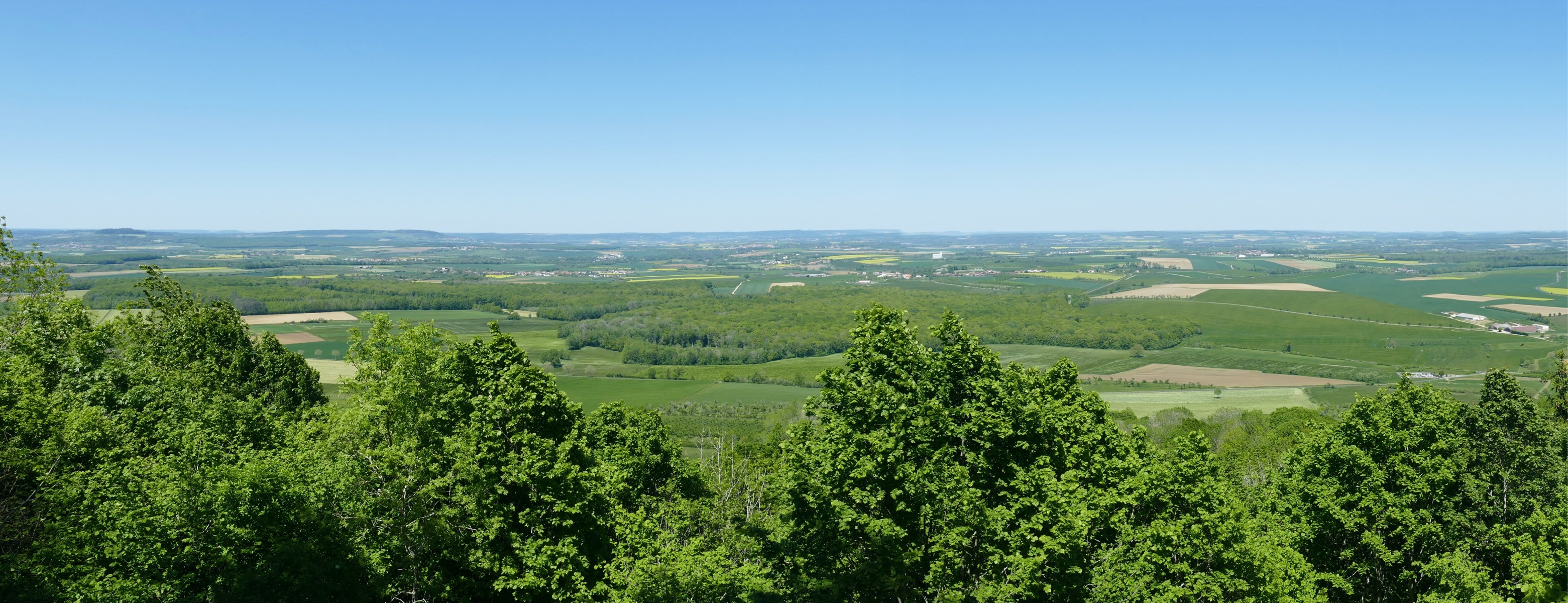
This circuit presents varied landscapes, between undergrowth and meadows offering views from the hill of Sion.
At the southern end, it is possible to add half an hour to make a detour via the Barrès monument.

Already more than 200,000 users!
Uphill
296m
Highest point
505m
Downhill
296m
Lowest point
349m
Route type
Loop
Download the map on your smartphone to save battery and rest assured to always keep access to the route, even without signal.
Includes IGN France and Swisstopo.
I indicate whether dogs are allowed or prohibited on this trail
All year
0 ratings
Also enjoy:

Already more than 200,000 users!