Uphill
444m
France > Grand Est > Vosges > Ballons des Vosges Regional Natural Park
Length
9km
Duration
3h30min
Elev gain
444m
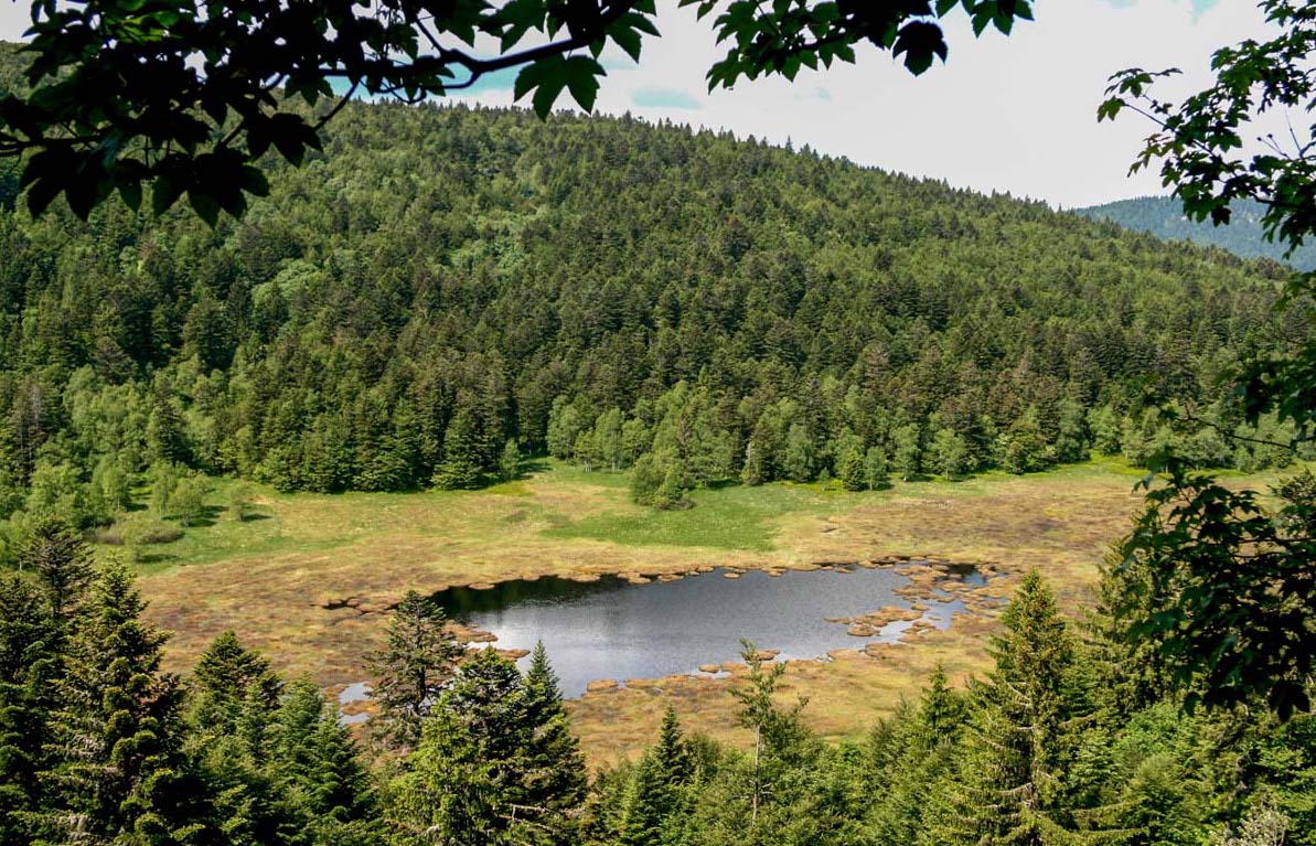
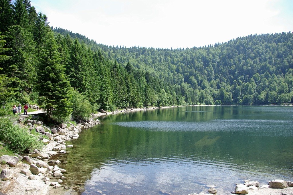
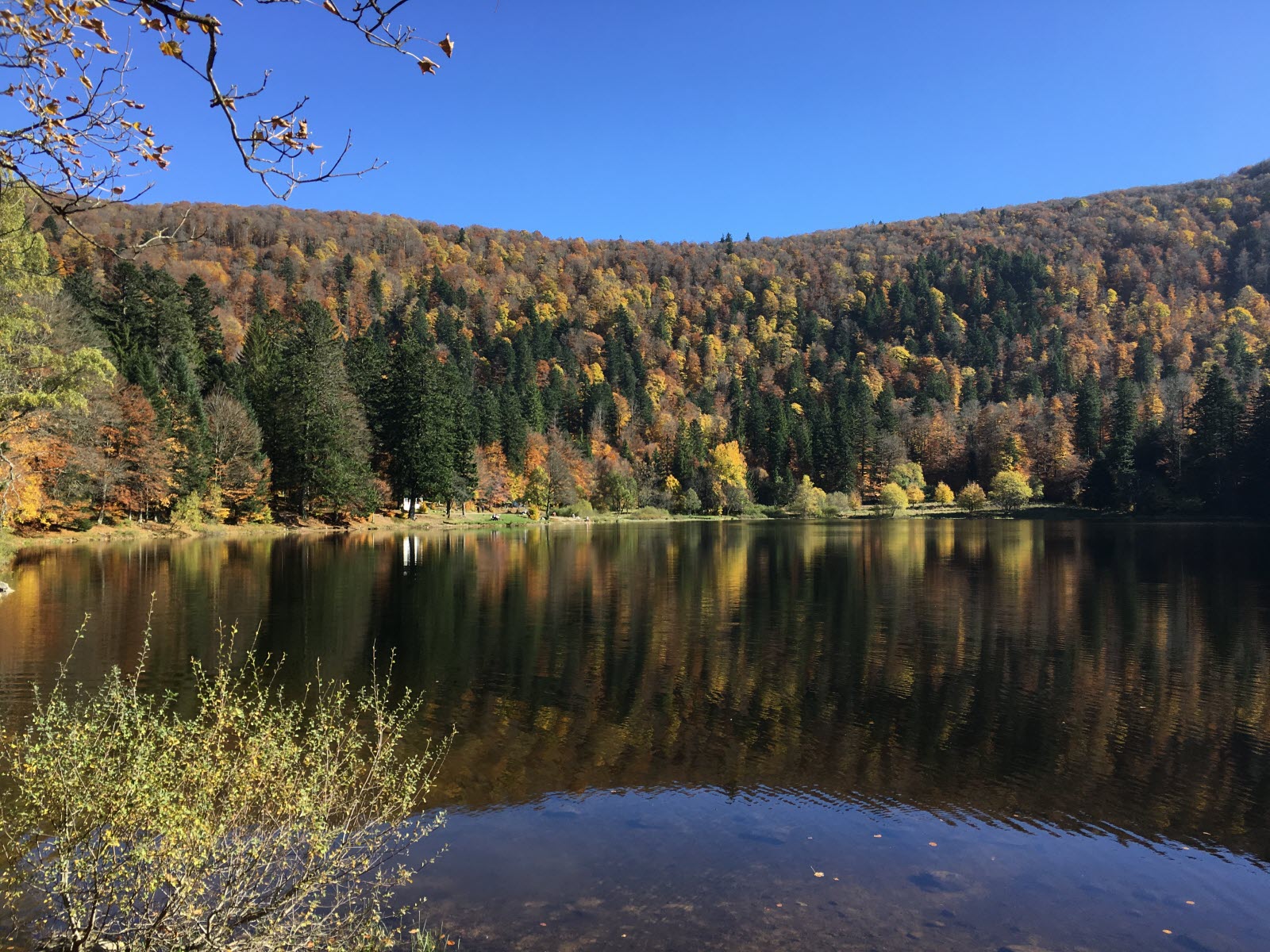
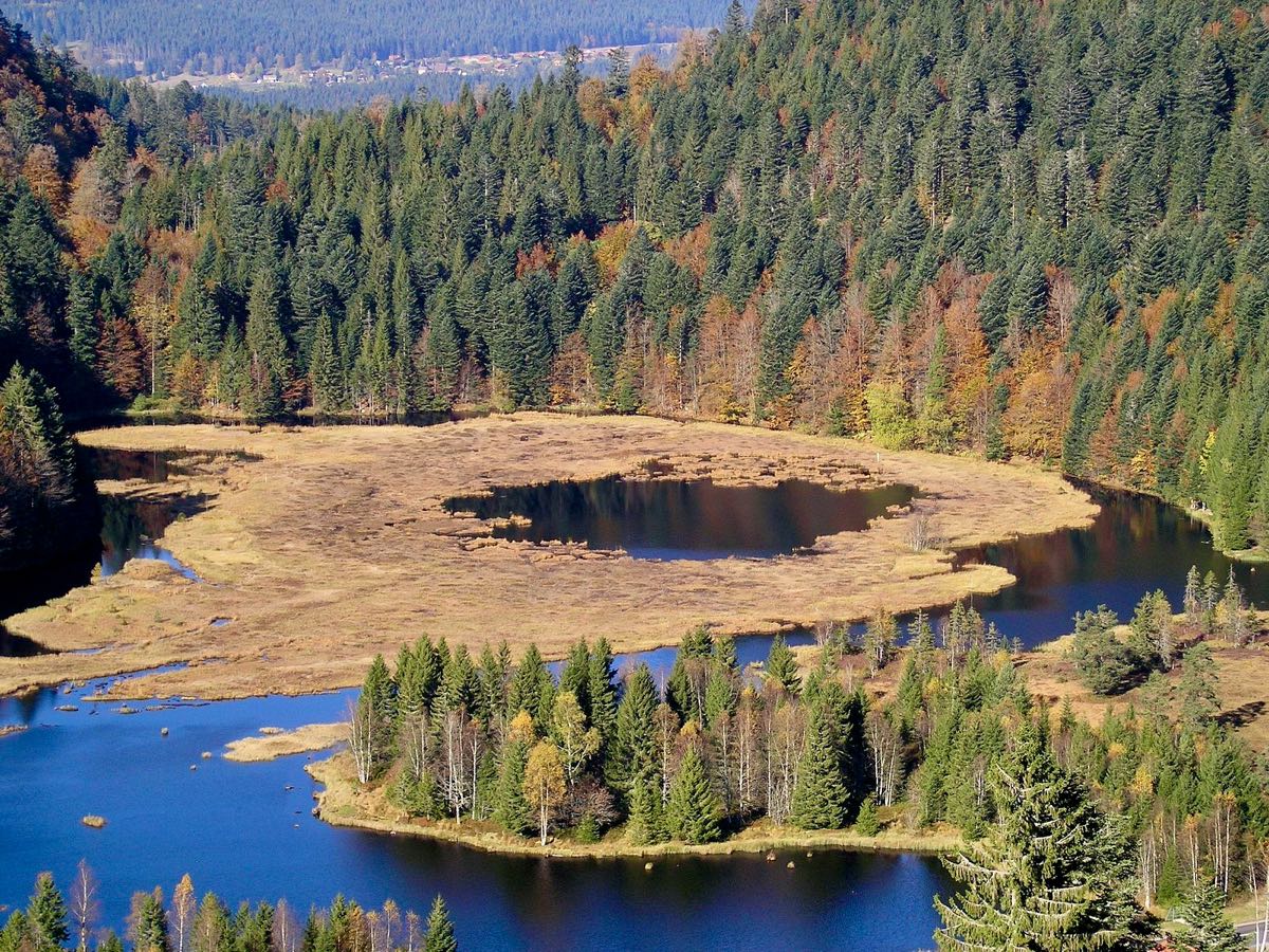
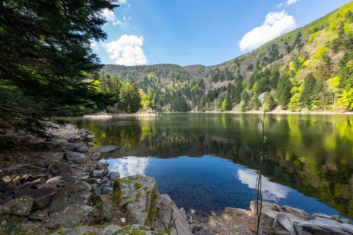
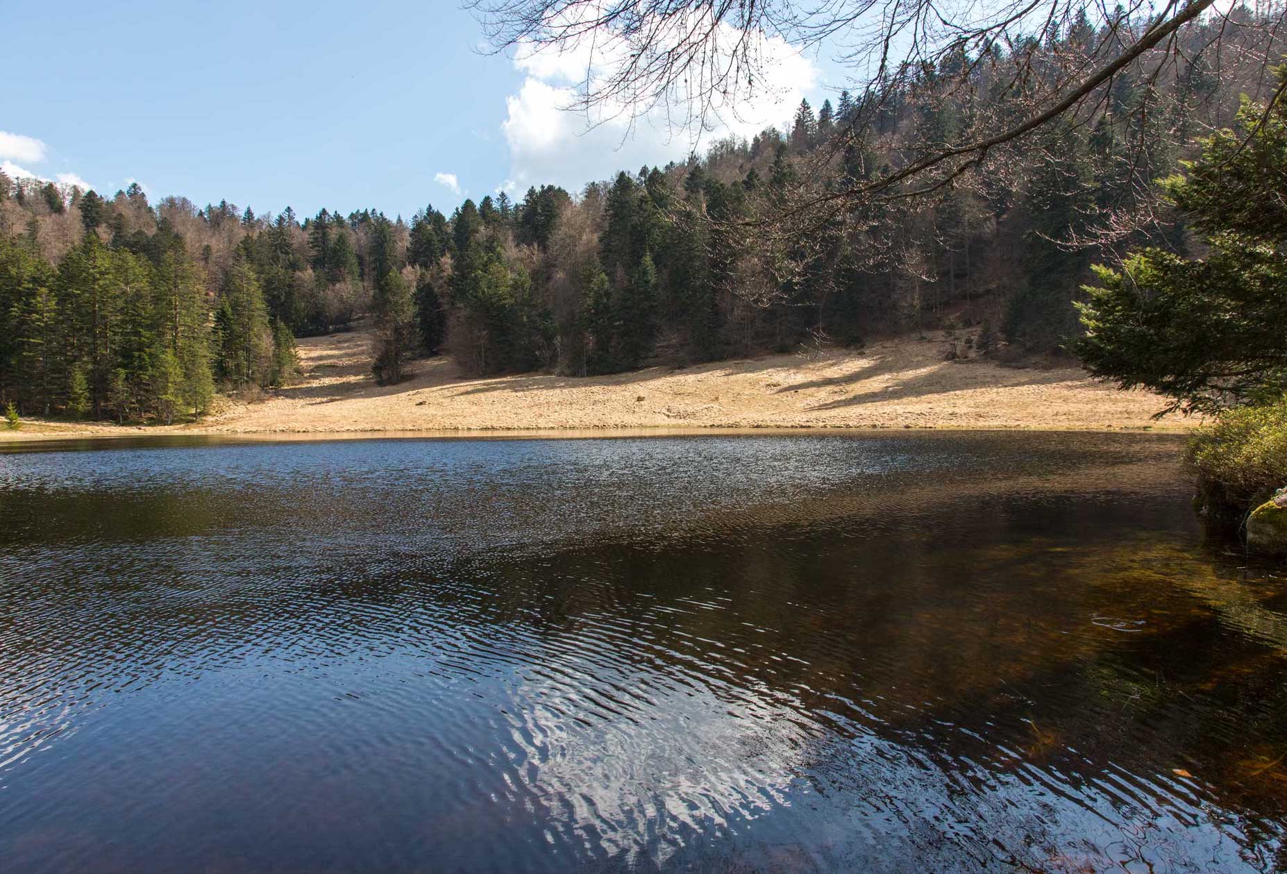
From the Régit, here is a pleasant walk passing by the charming pond of the Cuve. The forest path also offers lovely views of the Moselotte valley and its surroundings.

Already more than 200,000 users!
Uphill
444m
Highest point
1177m
Downhill
444m
Lowest point
831m
Route type
Loop
Download the map on your smartphone to save battery and rest assured to always keep access to the route, even without signal.
Includes IGN France and Swisstopo.
I indicate whether dogs are allowed or prohibited on this trail
Can be difficult in Winter
0 ratings
Also enjoy:

Already more than 200,000 users!