Uphill
542m
France > Grand Est > Vosges > Ballons des Vosges Regional Natural Park
Length
15km
Duration
5h
Elev gain
542m
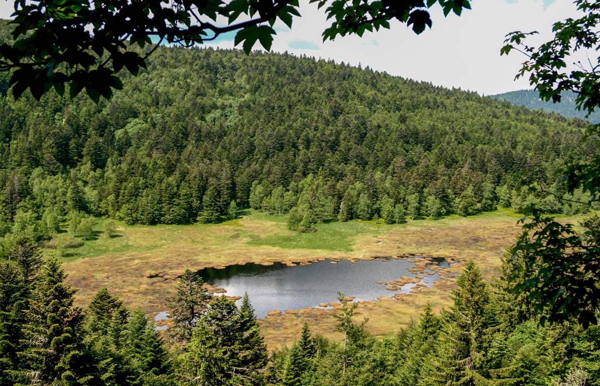
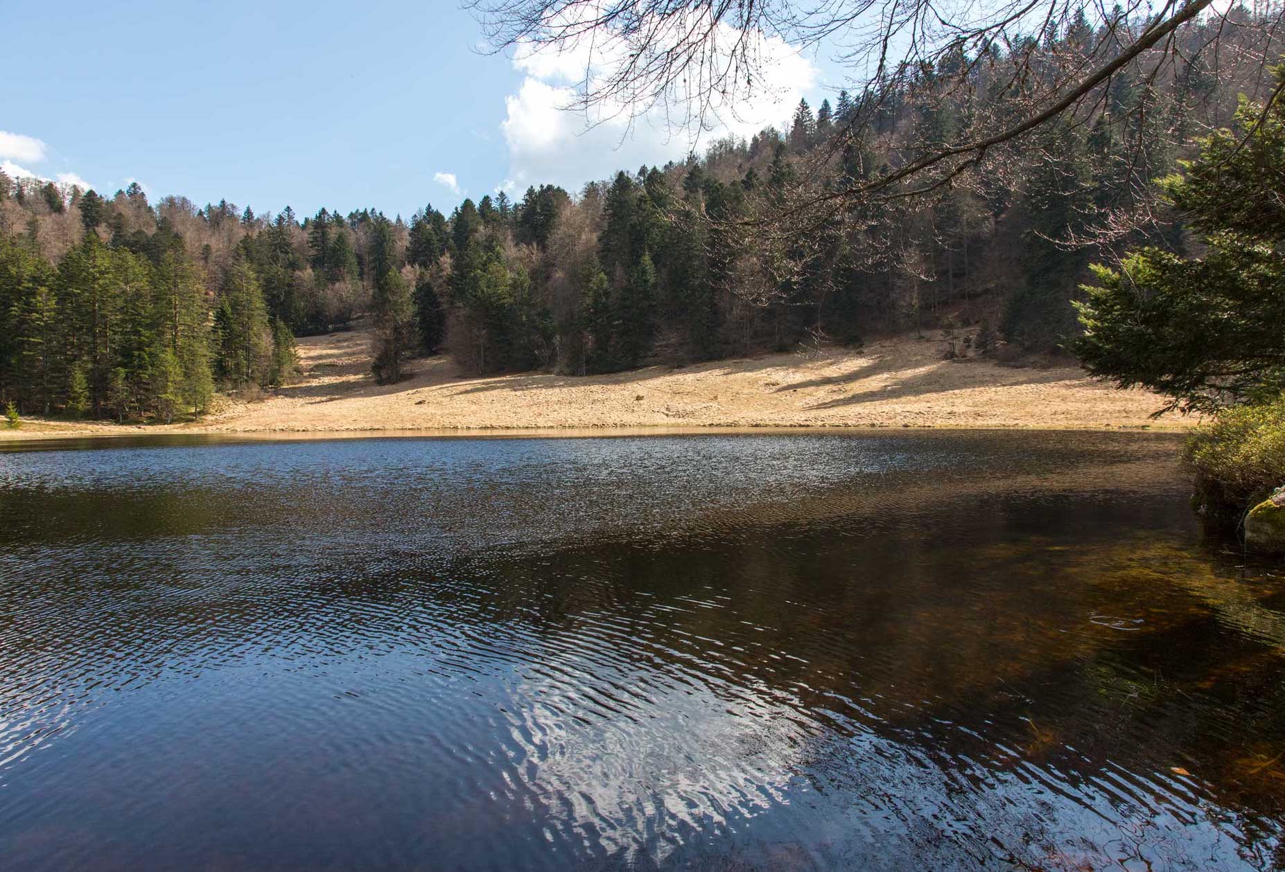
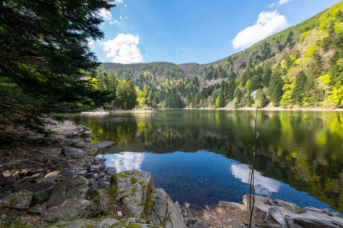
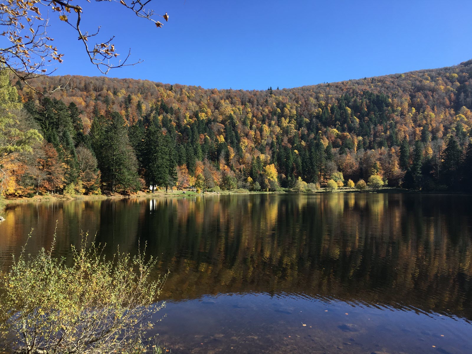
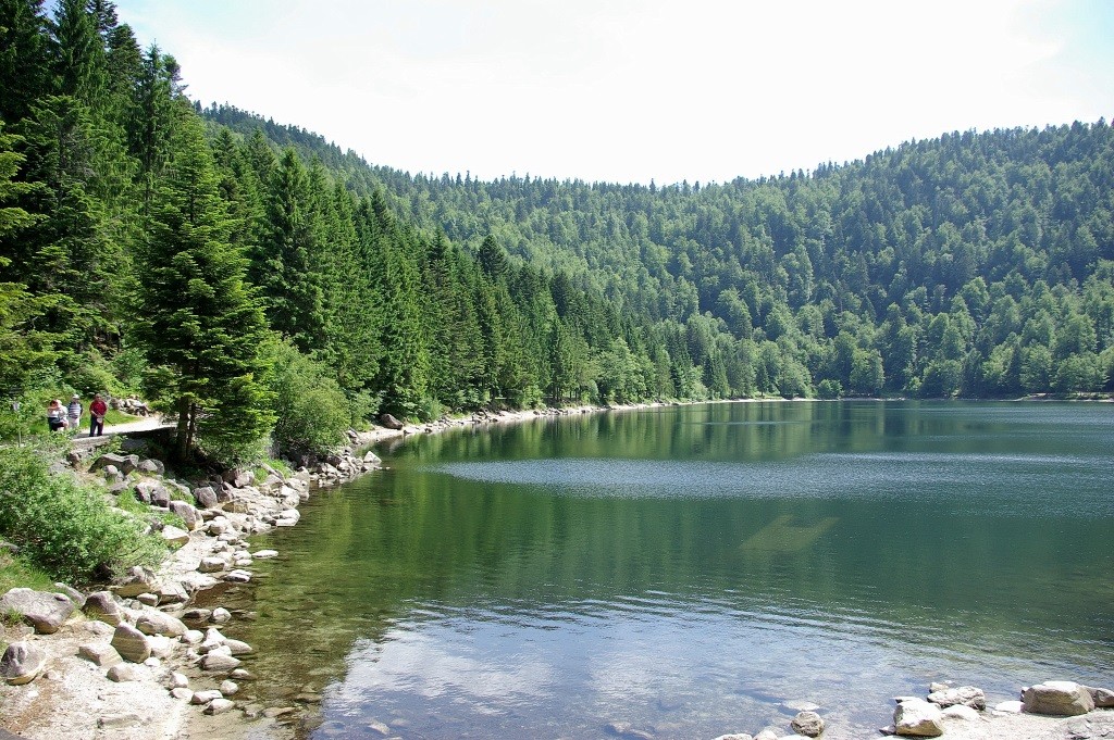
Departing from Col de Bramont, this loop leads to a belvedere offering a magnificent view of Lac des Corbeaux. The landscapes are varied, in forest and at the water's edge, with also a passage through the pond of Sèchemer.

Already more than 200,000 users!
Uphill
542m
Highest point
1155m
Downhill
542m
Lowest point
865m
Route type
Loop
Download the map on your smartphone to save battery and rest assured to always keep access to the route, even without signal.
Includes IGN France and Swisstopo.
I indicate whether dogs are allowed or prohibited on this trail
Can be difficult in Winter
5 ratings
Pour randonneurs aguerris
Also enjoy:

Already more than 200,000 users!