Uphill
357m
Length
8km
Duration
3h
Elev gain
357m
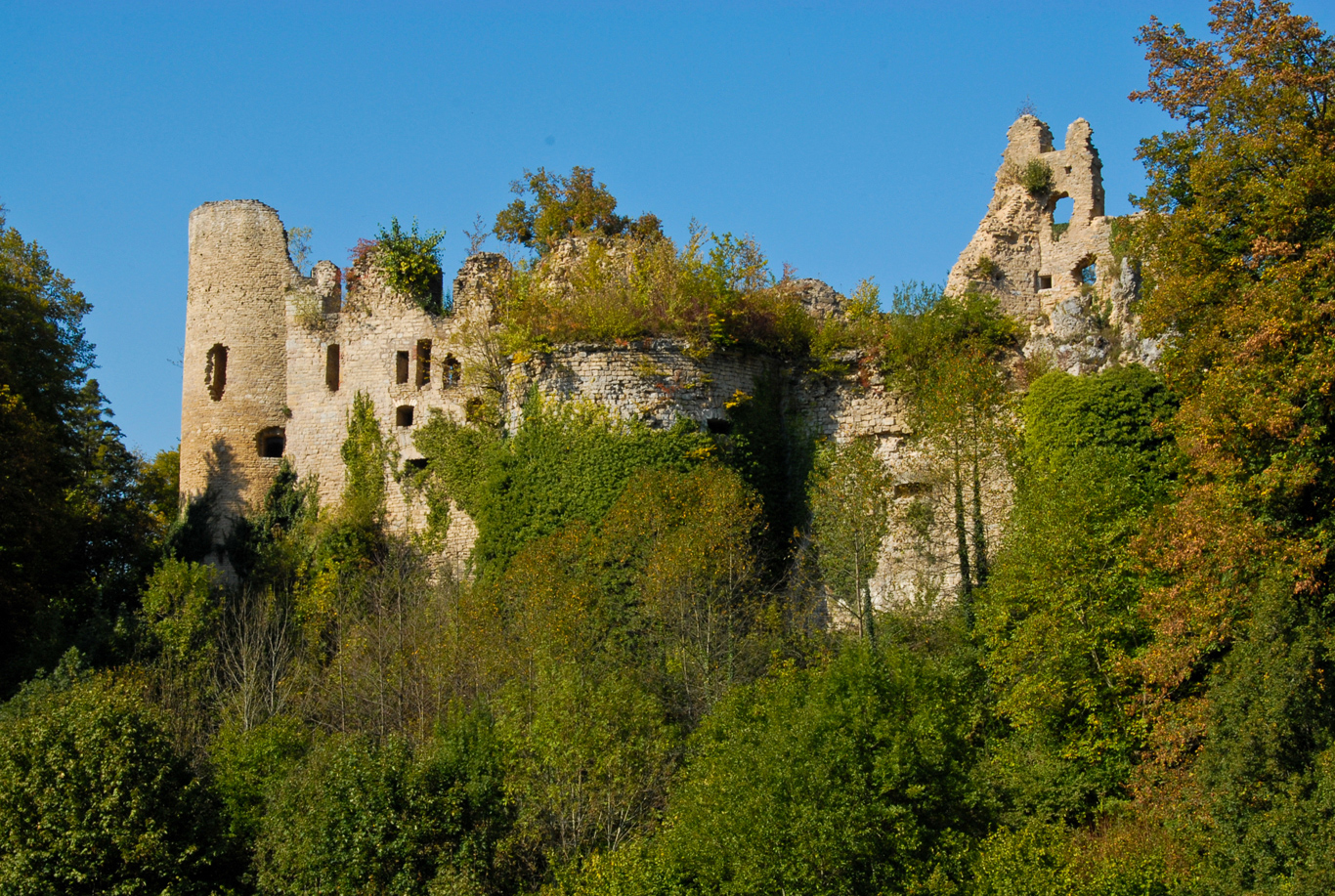
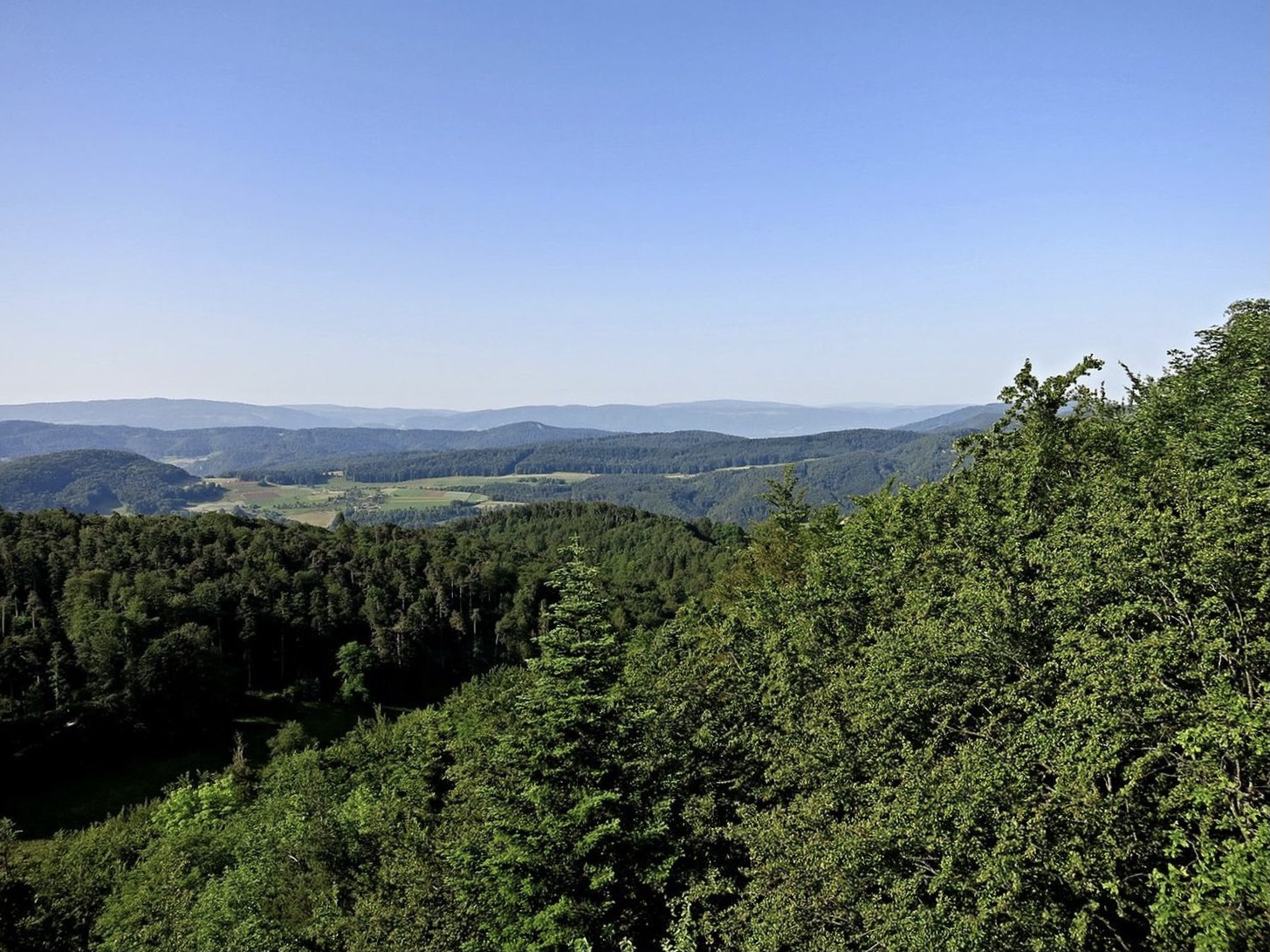
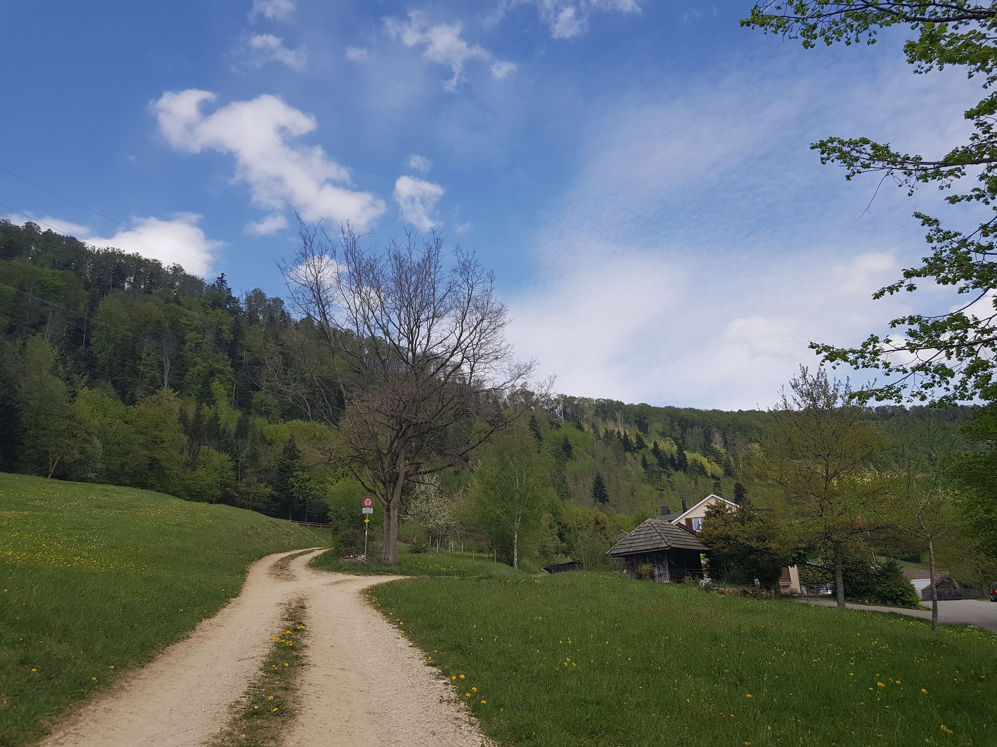
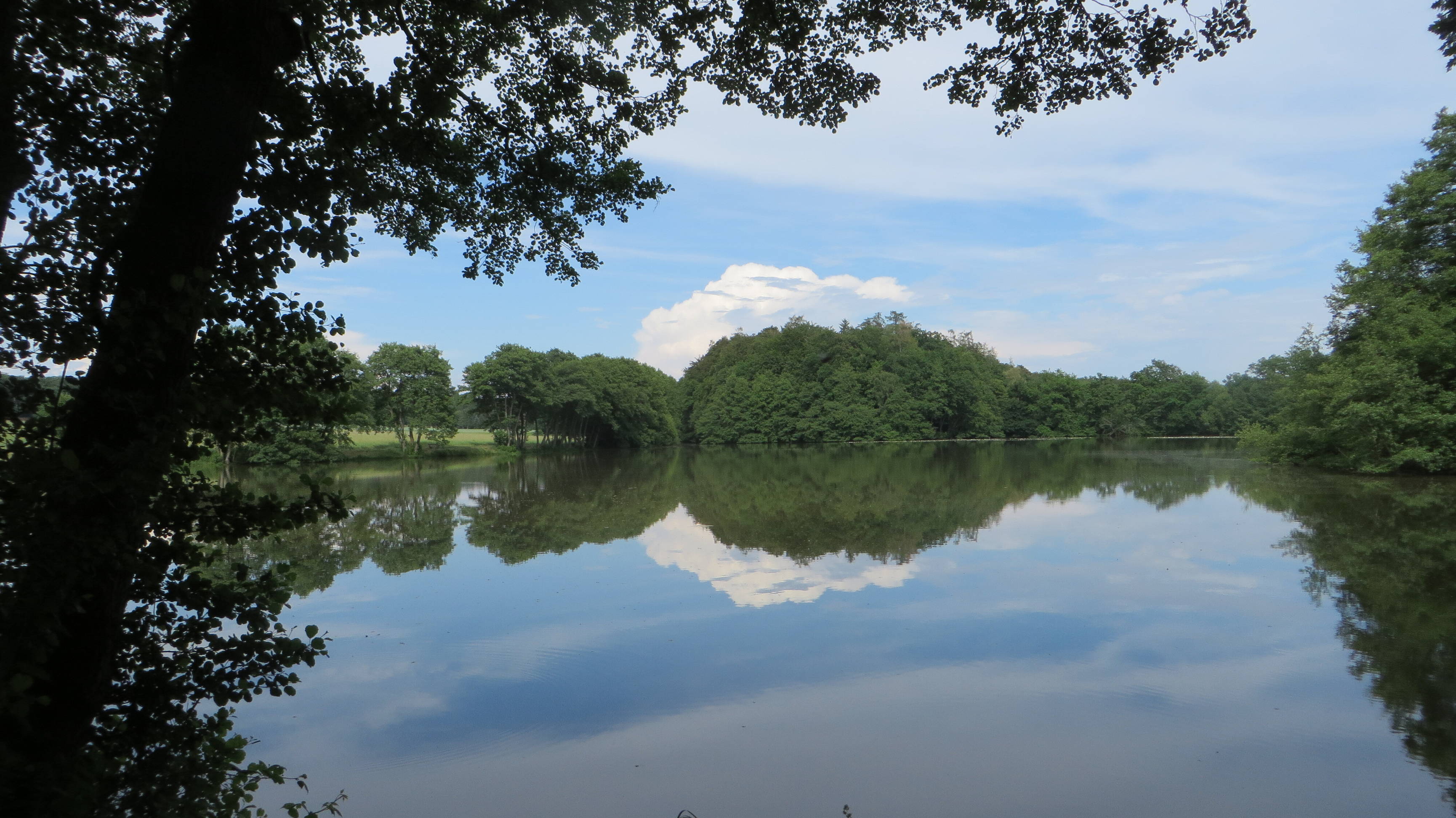
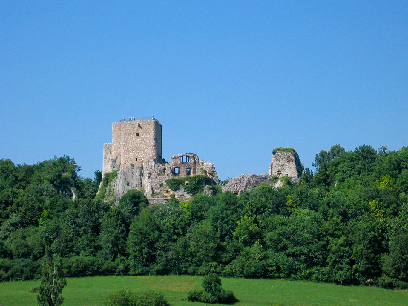
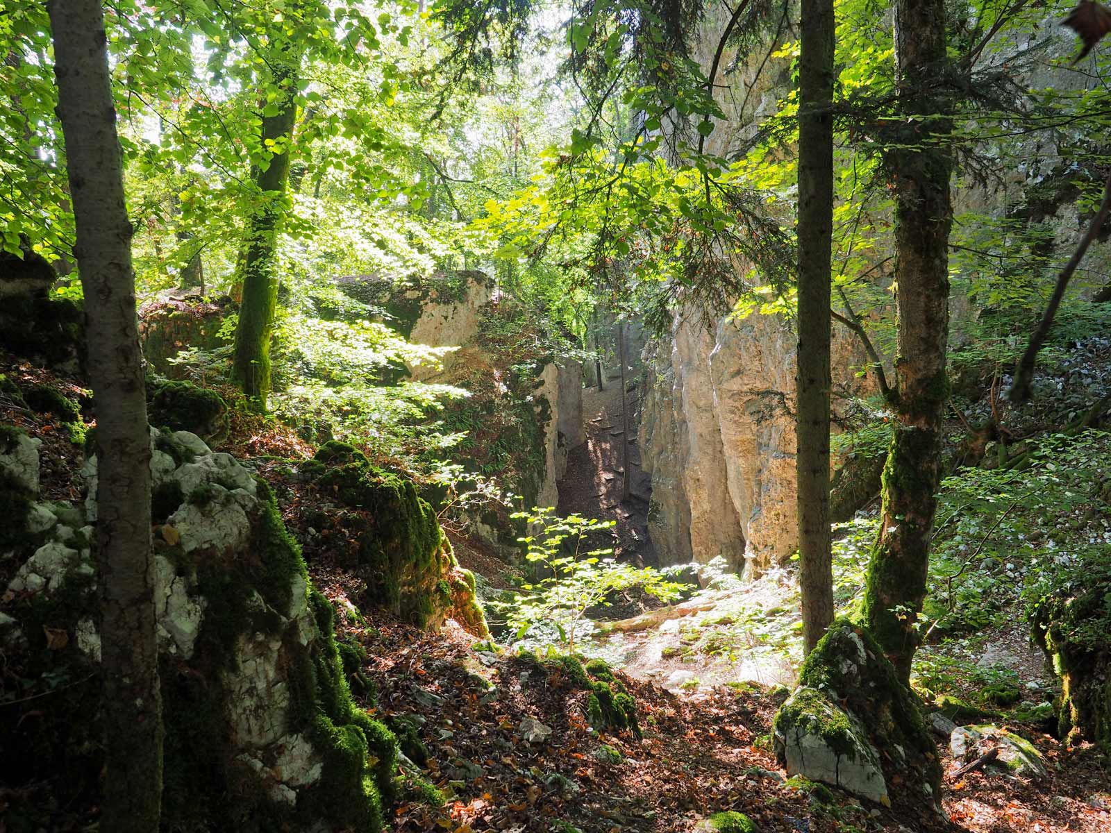
Departing from the church of Saint-Bernard-de-Menthon, this route makes a loop around the historical and natural monuments of Ferrette. The path passes through the medieval garden and then the Château de Ferrette, before reaching the Plateau des Nains and its cave. It then continues to Mount Rossberg (675 m) and its tower. The landscapes are splendid and there are many viewpoints.

Already more than 200,000 users!
Uphill
357m
Highest point
685m
Downhill
357m
Lowest point
501m
Route type
Loop
Download the map on your smartphone to save battery and rest assured to always keep access to the route, even without signal.
Includes IGN France and Swisstopo.
I indicate whether dogs are allowed or prohibited on this trail
All year
0 ratings
Also enjoy:

Already more than 200,000 users!