Uphill
255m
Length
7km
Duration
2h30min
Elev gain
255m
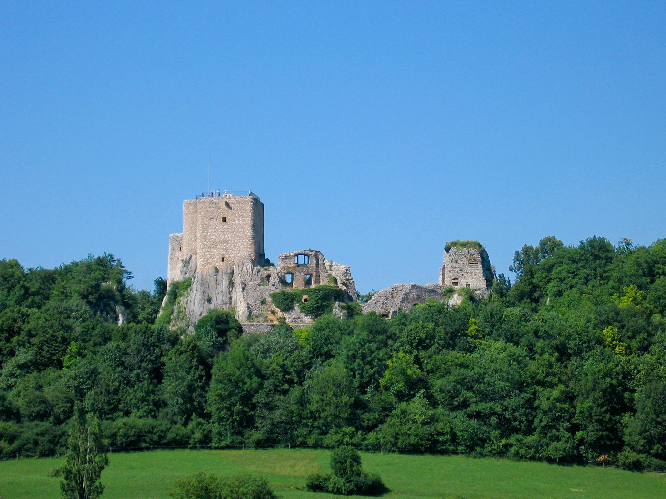
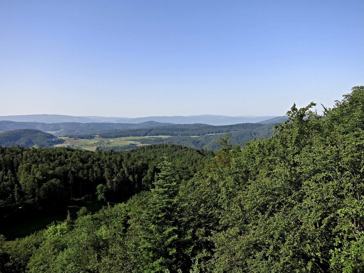
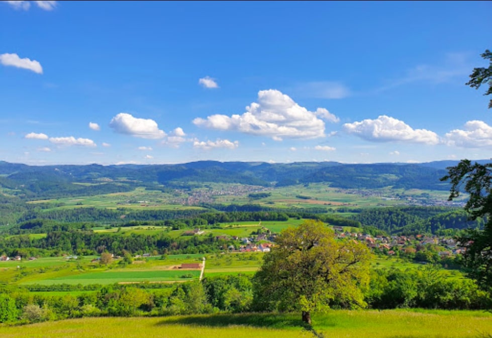
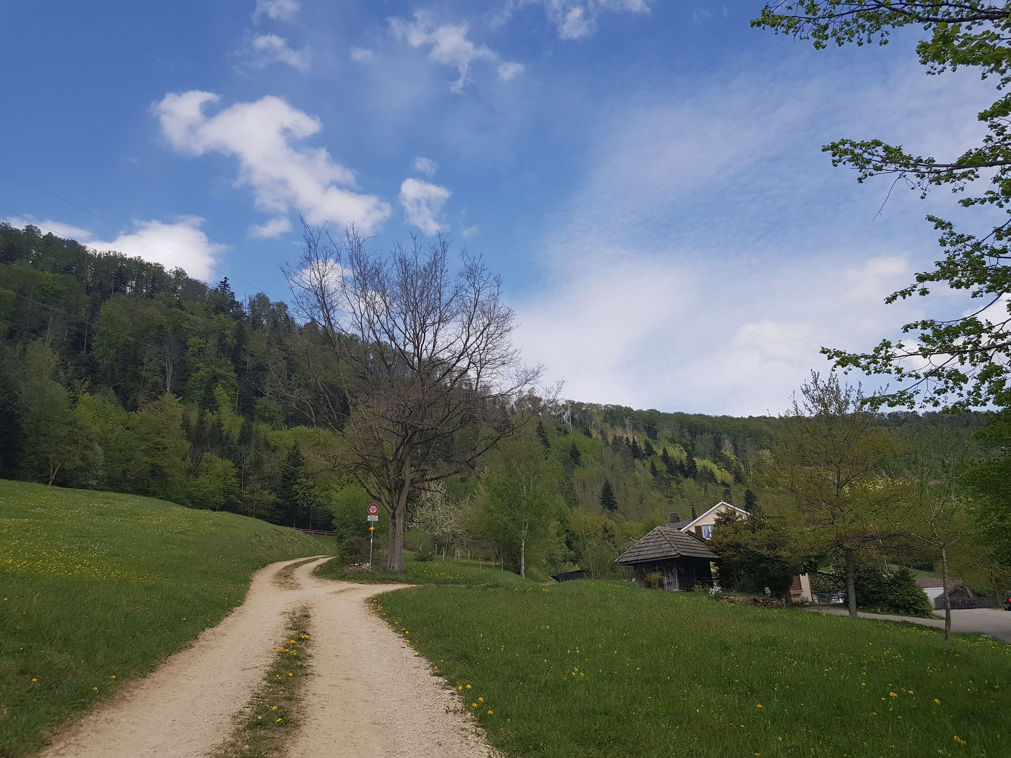
Nice little hike that starts at the Challpass pass, located at 747 meters above sea level. The route makes a loop passing through Brunneberg then the Bergmattenhof and its restaurant before returning to the starting point.

Already more than 200,000 users!
Uphill
255m
Highest point
888m
Downhill
255m
Lowest point
628m
Route type
Loop
Download the map on your smartphone to save battery and rest assured to always keep access to the route, even without signal.
Includes IGN France and Swisstopo.
I indicate whether dogs are allowed or prohibited on this trail
All year
0 ratings
Also enjoy:

Already more than 200,000 users!